You are using an out of date browser. It may not display this or other websites correctly.
You should upgrade or use an alternative browser.
You should upgrade or use an alternative browser.
Cindy's Birthday Fun Run 2024
- Thread starter wayoflife
- Start date
RESURECTIONJK
Hooked
Happy birthday Cindy. Looks like a great time!
OverlanderJK
Resident Smartass
I thought her hat said Jeff when I looked quick and this is all I could think of.Cindy says thanks to all of you and CHEERS
View attachment 401307
So this is where we started our day today - at the Lake Mead Marina and mainly because it was such a beautiful morning. I mean, when you're at a place like this, it's hard to believe it's still winter.
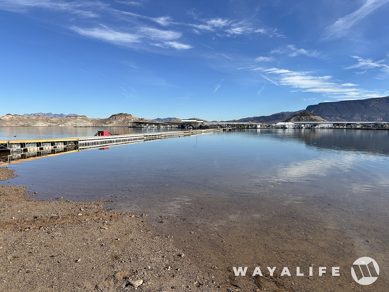
Walking along the docks, you can see all the way to Fortification Hill which is the volcanic bluff way in the distance, beyond the boats and on the right side of the pic.

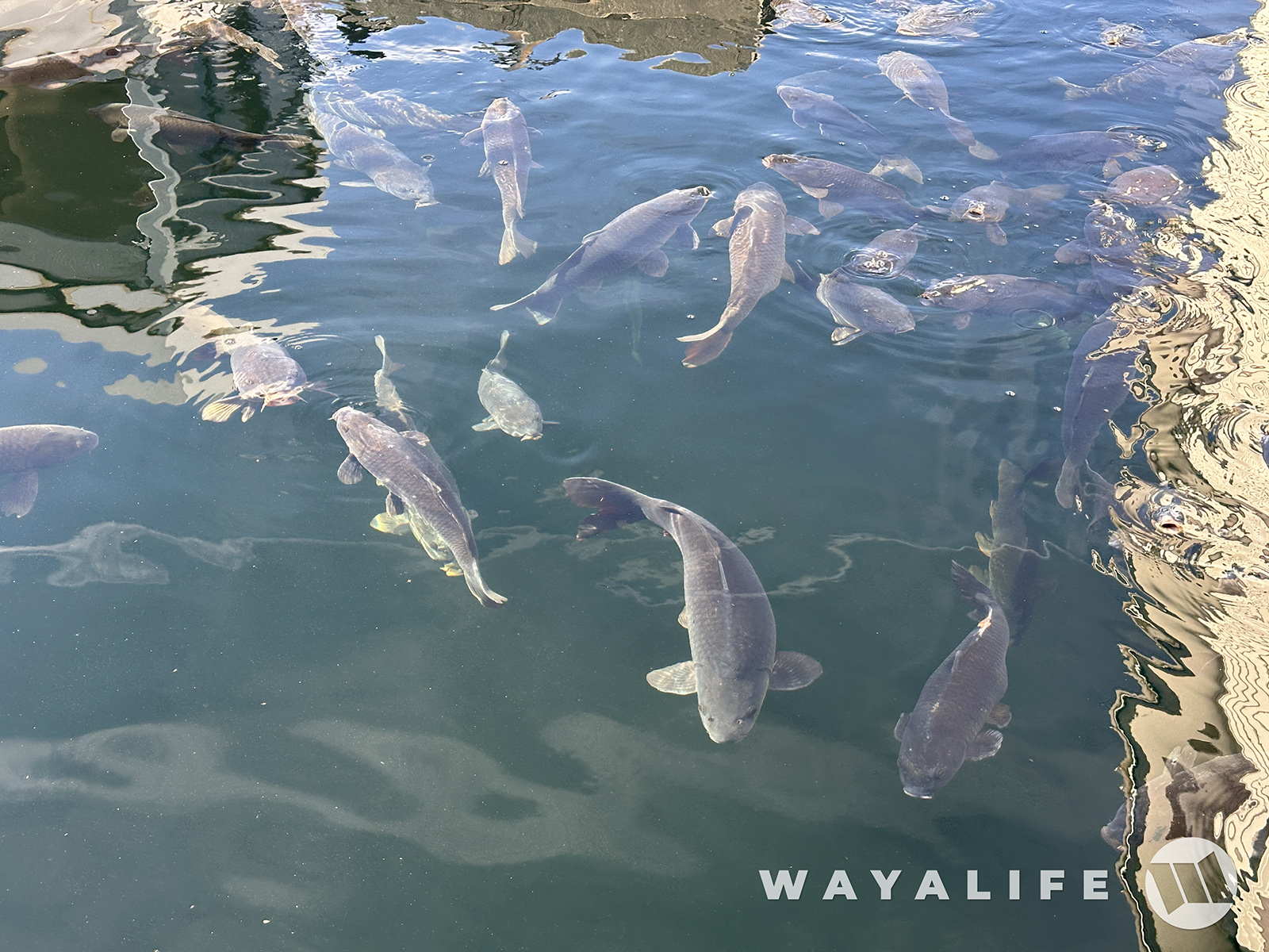
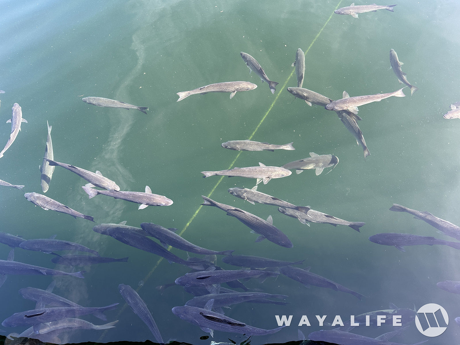
If you've never been here before, the waters are teaming with bigass fish all along the docks.
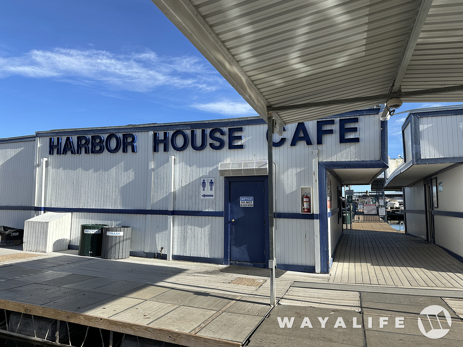
Of course, we came here to fill our tummies at the Harbor House Cafe.
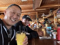
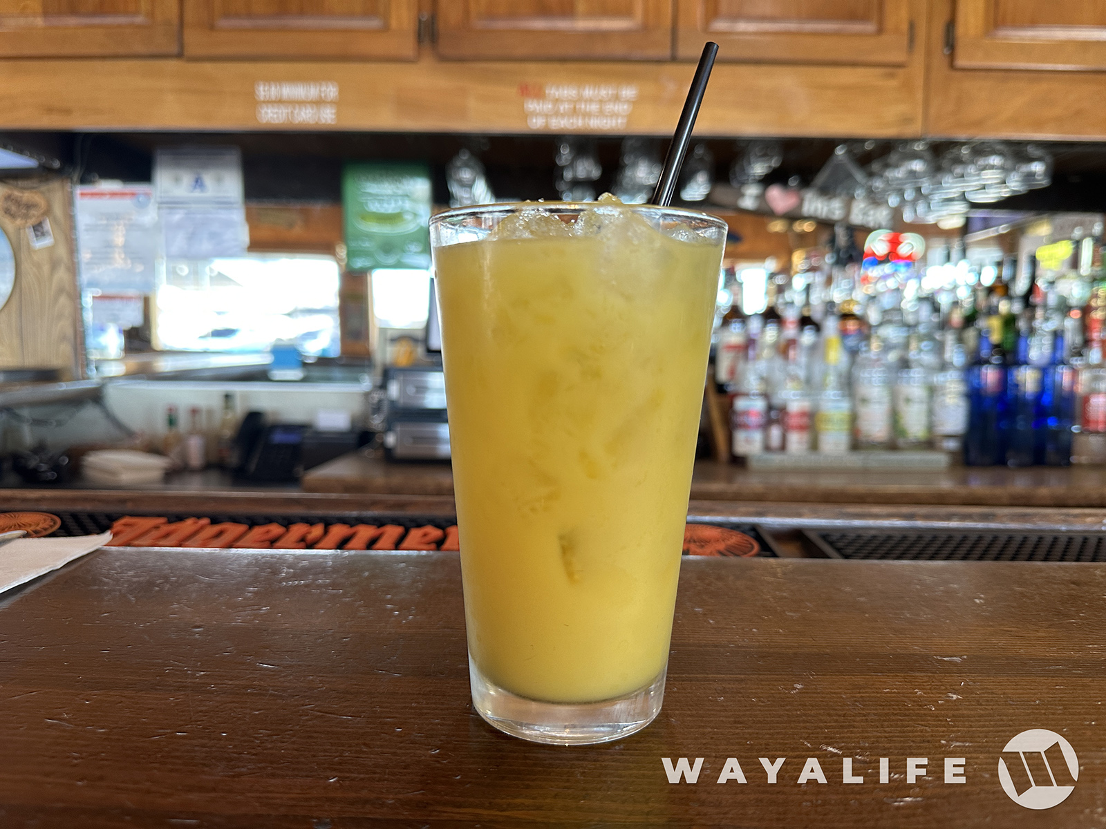
And of course, enjoy a fine morning cocktail
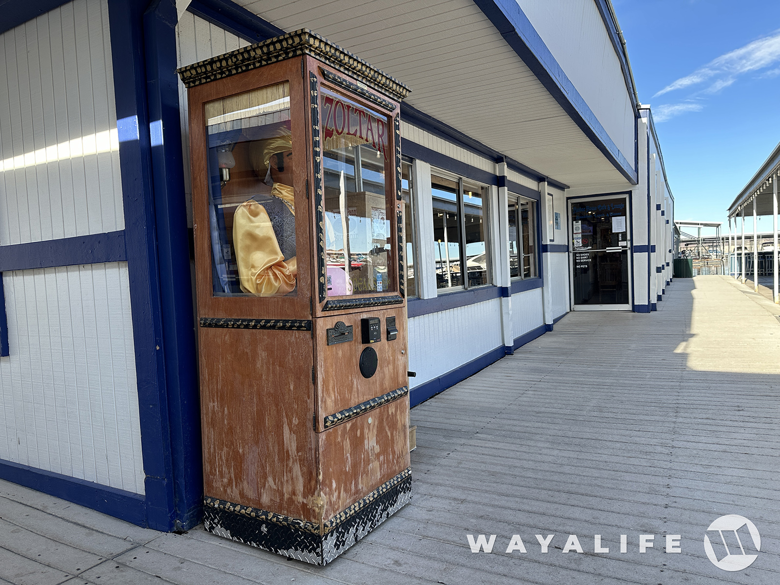
As we were leaving, I came across Zoltar and decided to ask what we should do today.
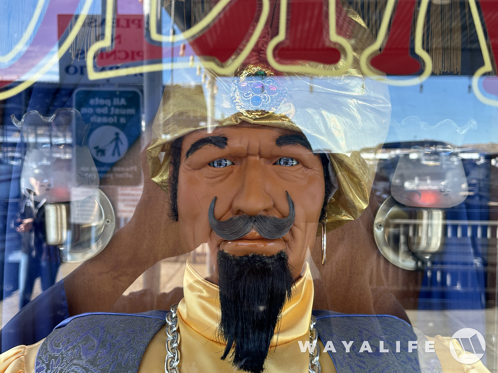
And, his answer was, to take a hike!
Taking Zoltar's advice, literally, we decided to cross the Hoover Dam and make our way out to Kingman Wash.
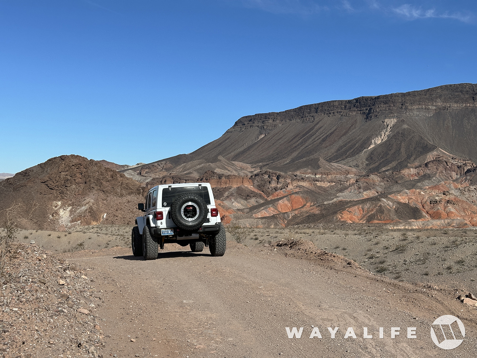
Sure is a pretty sight here and super clear today! You can even see the white tip of Mt. Charleston in the distance.
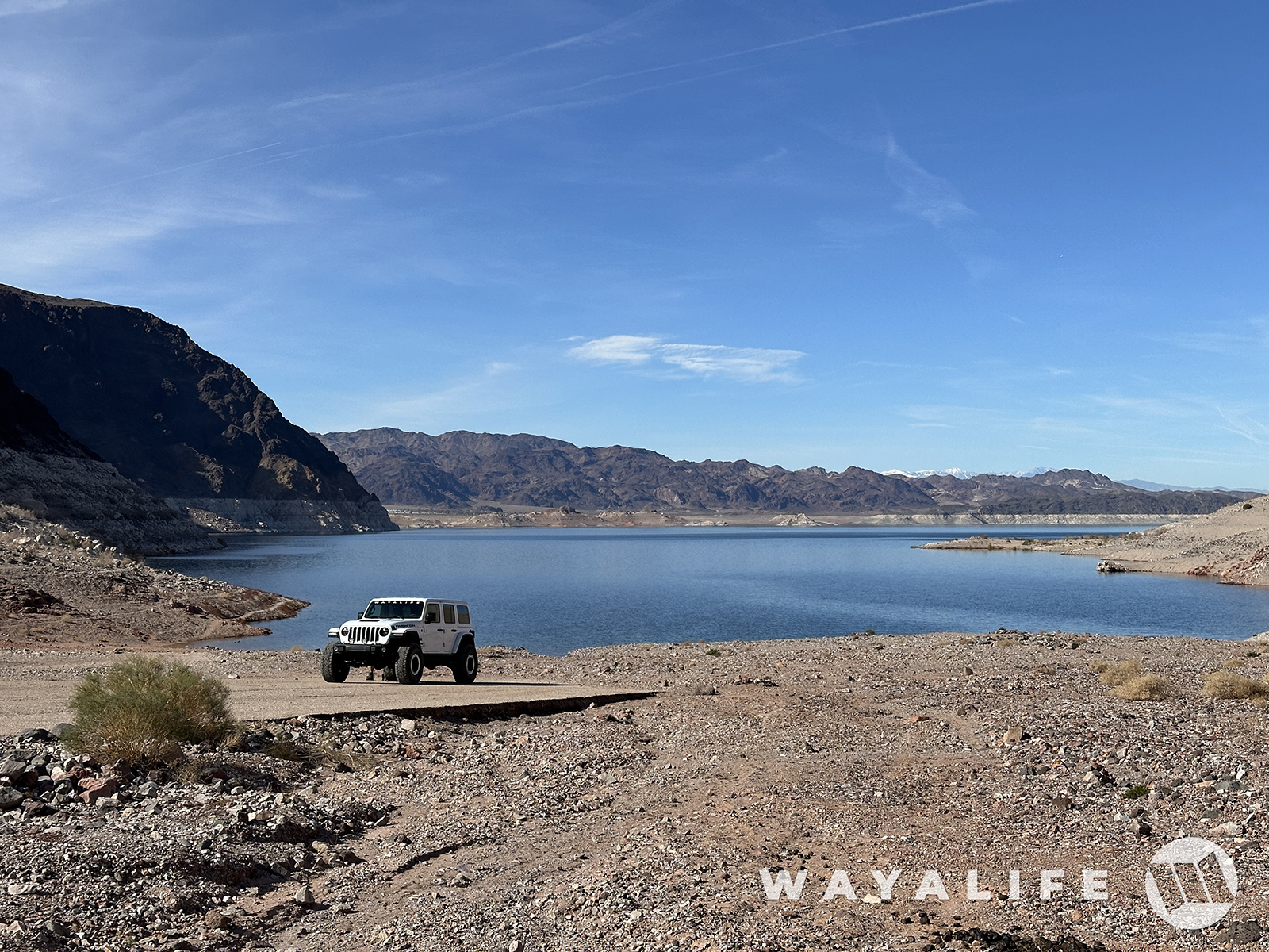
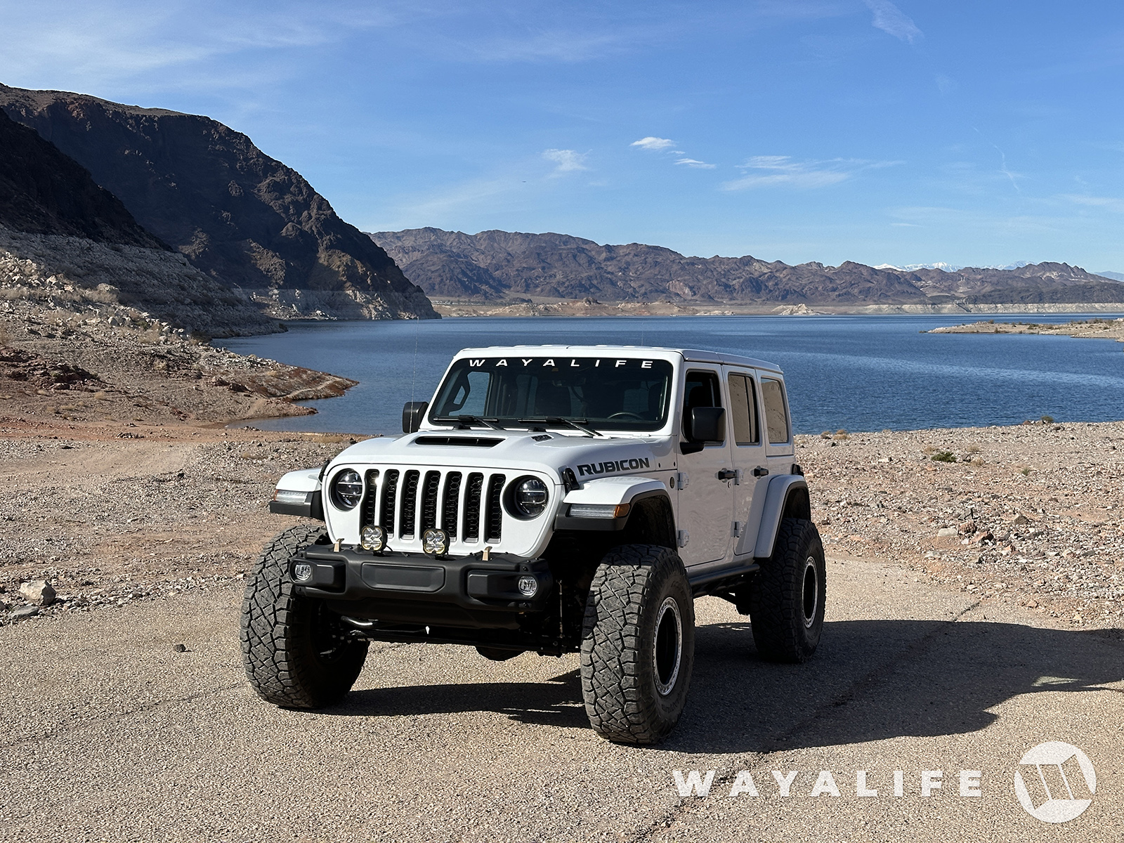
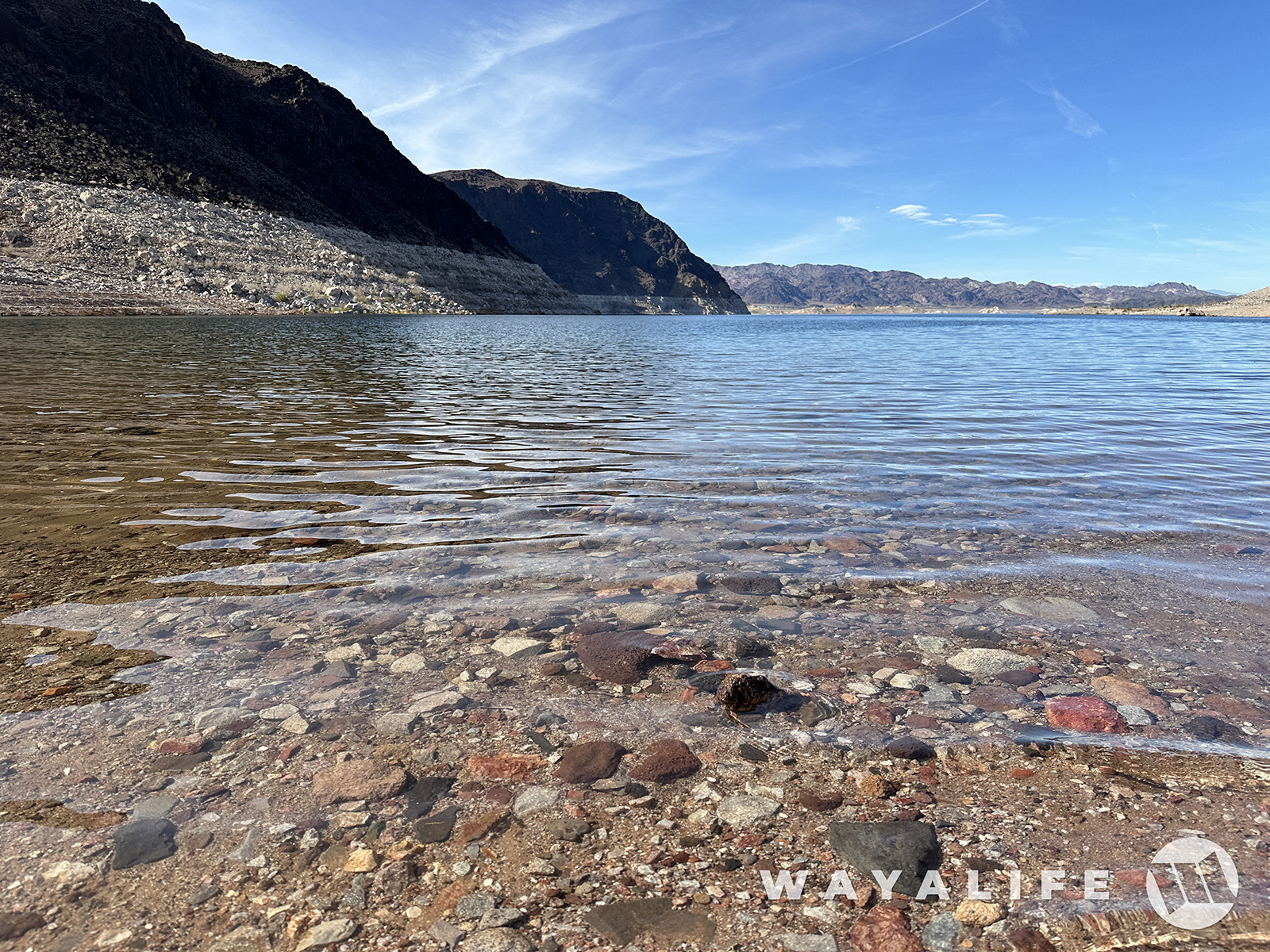
So, about that hike... this kept on calling us. Fortification Hill.
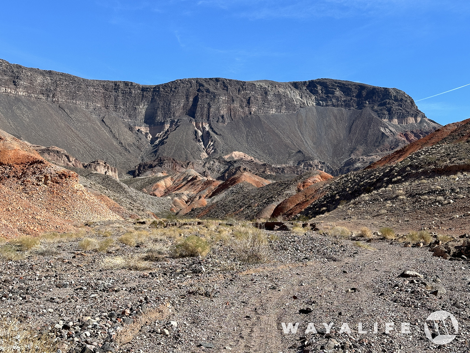
Although we were close to the base of it, there's no trail that takes you up to the top of it here. So, we hopped back in our 392 and drove to a point where there is a trail we could hike up.
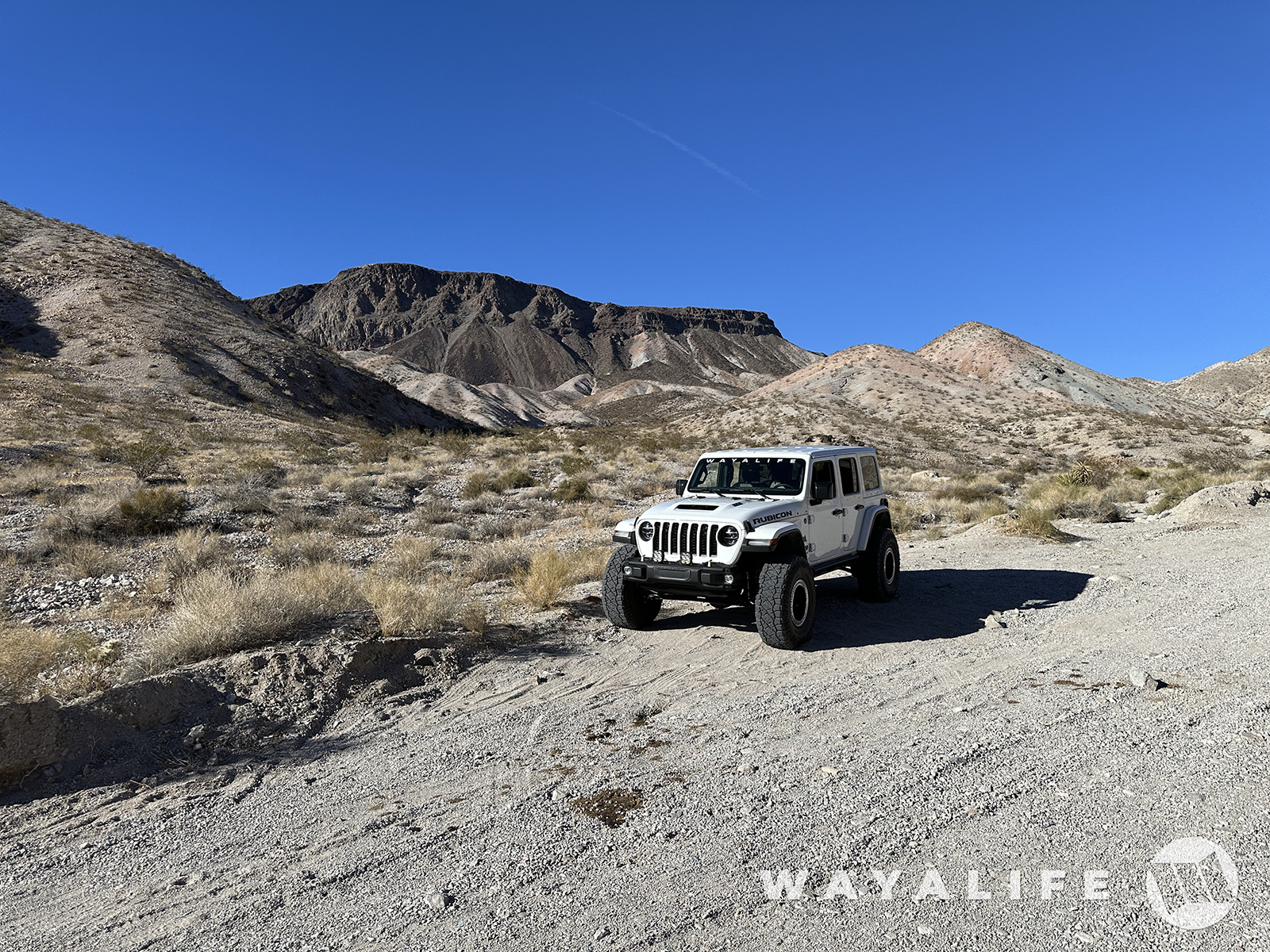
And, we were off!
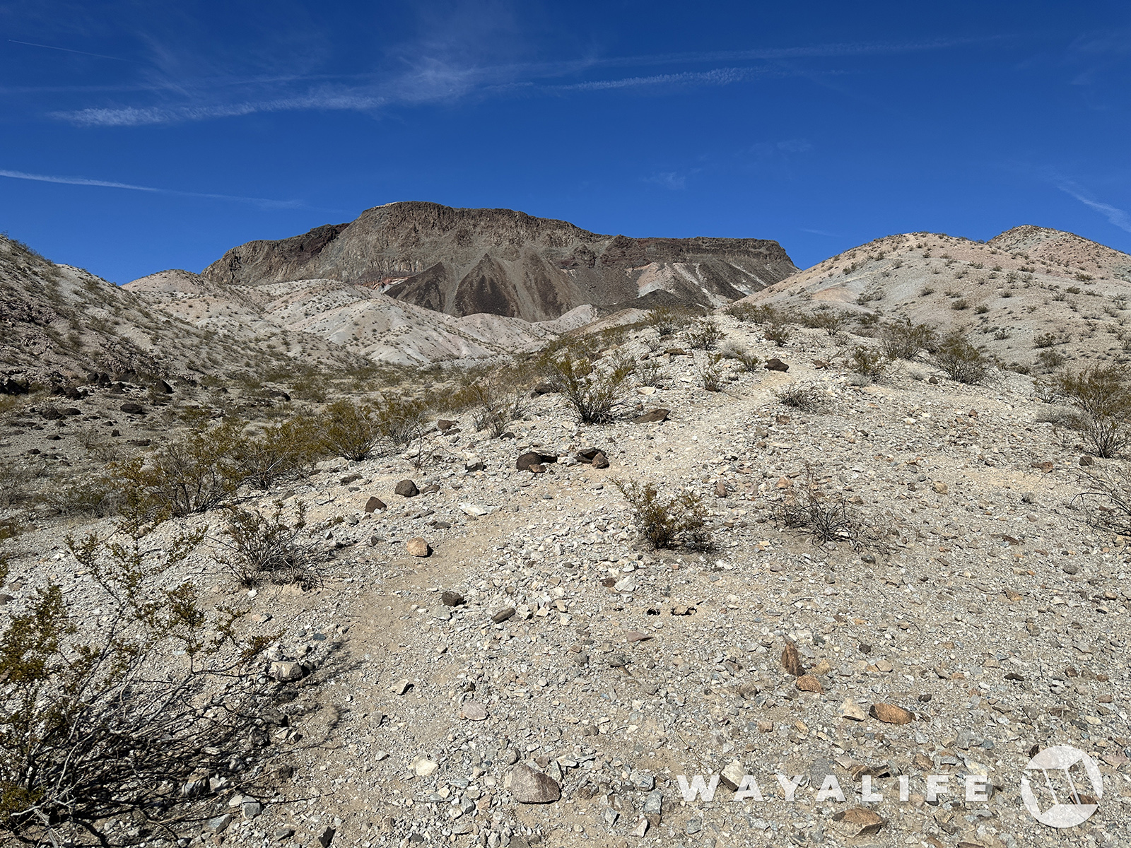
Fortunately, the hike to the top is only 2 miles long. The sucky part is that within the first mile, you have an elevation gain over 1,400 feet and all on steep, loose rock!
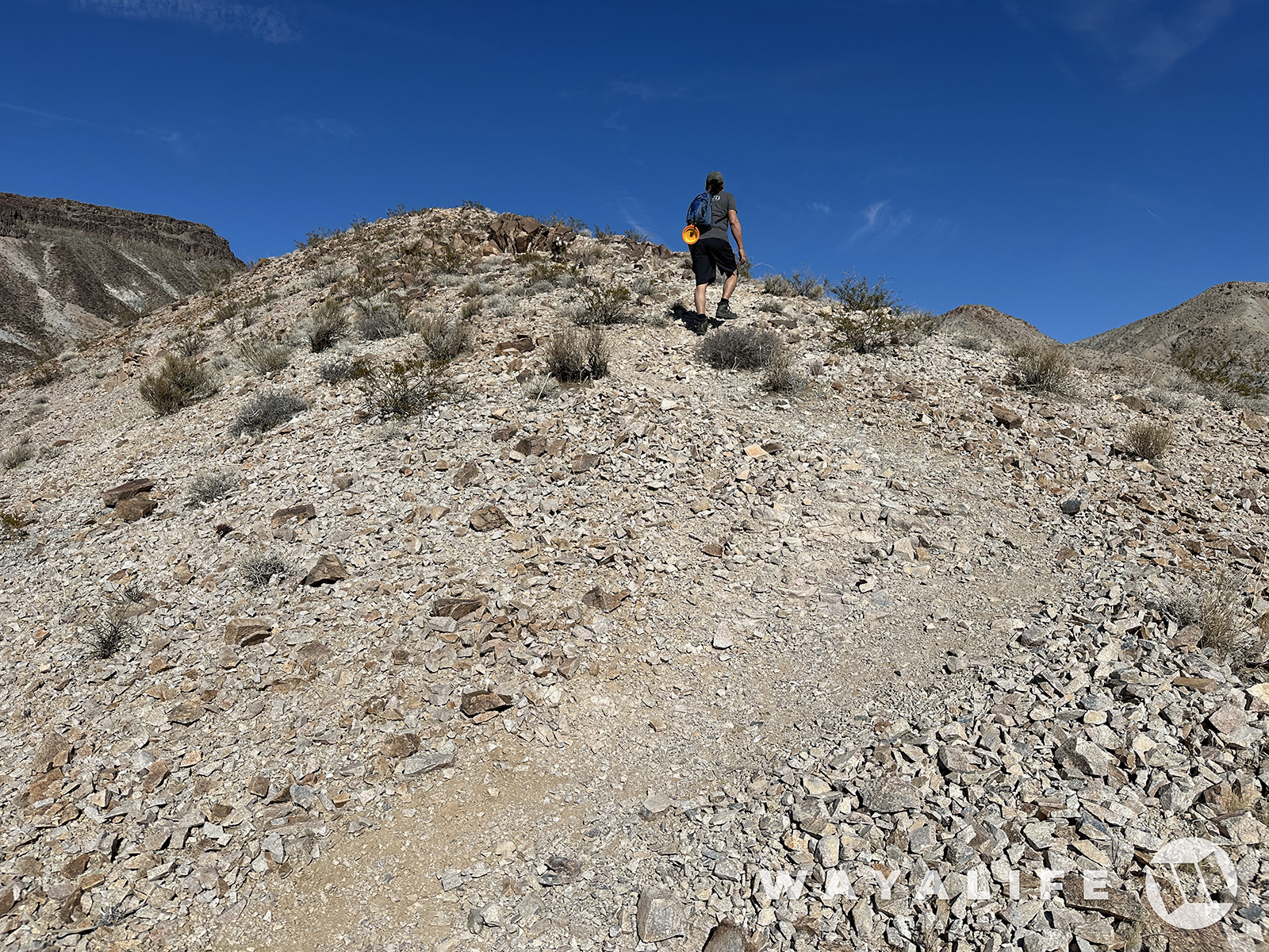
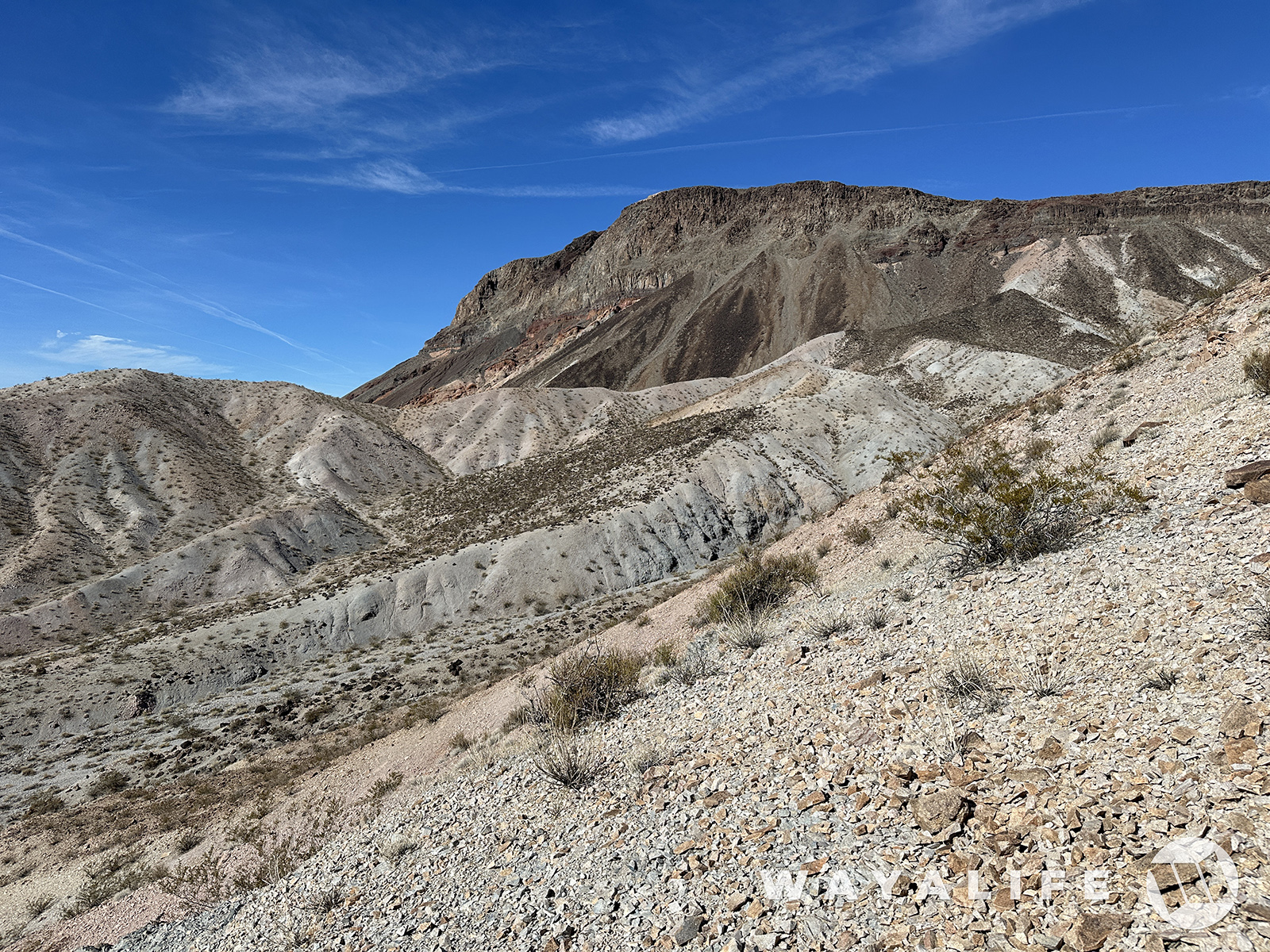
Thanks to the cliffs surrounding it, there's no direct route to the top and so we had to circle around it to get to a point where scrambling up would be a little easier.
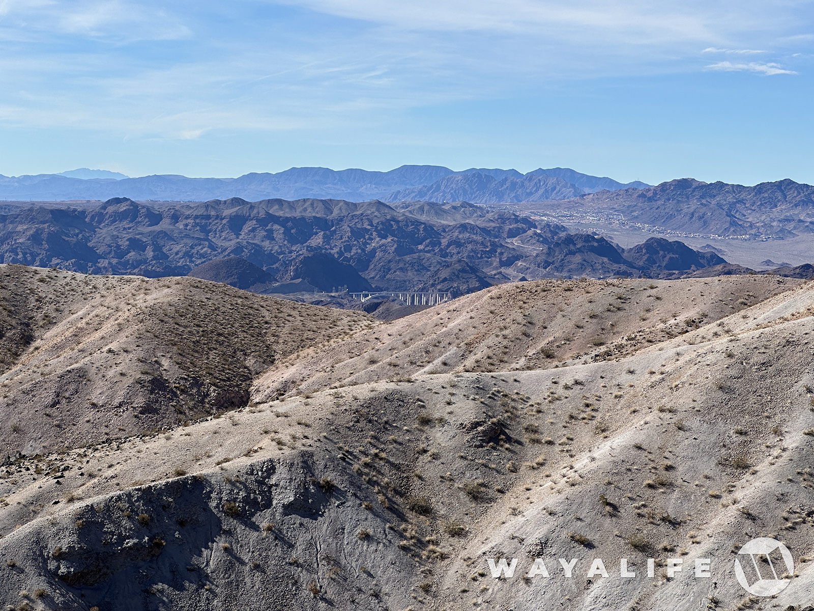
The higher up we went, the more you could see including the Mike O'Callaghan–Pat Tillman Memorial Bridge.
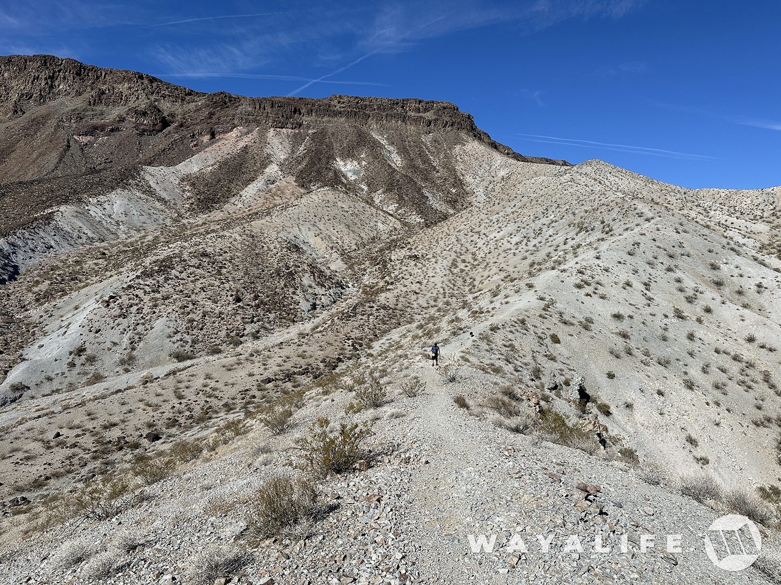
Up and up and up we go.
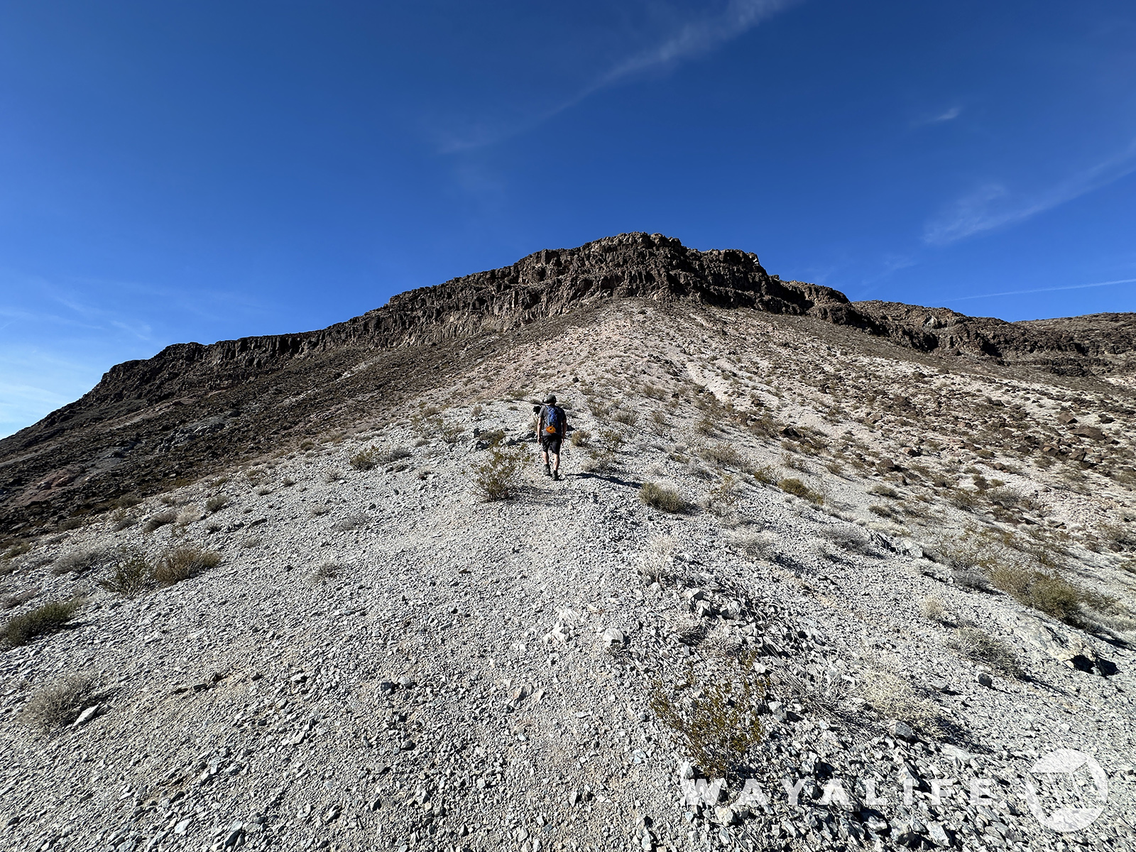
Getting closer to the cliff face.
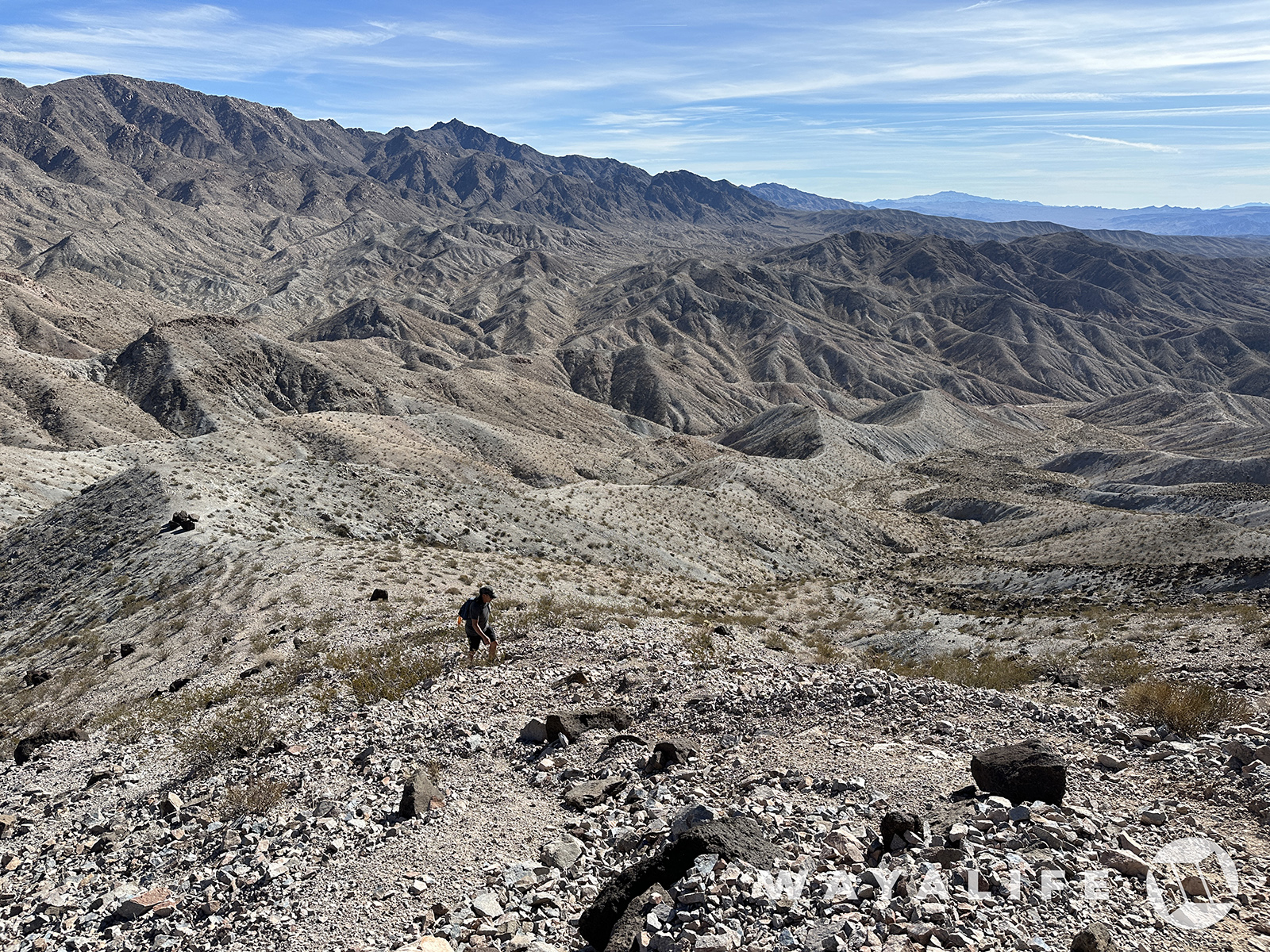
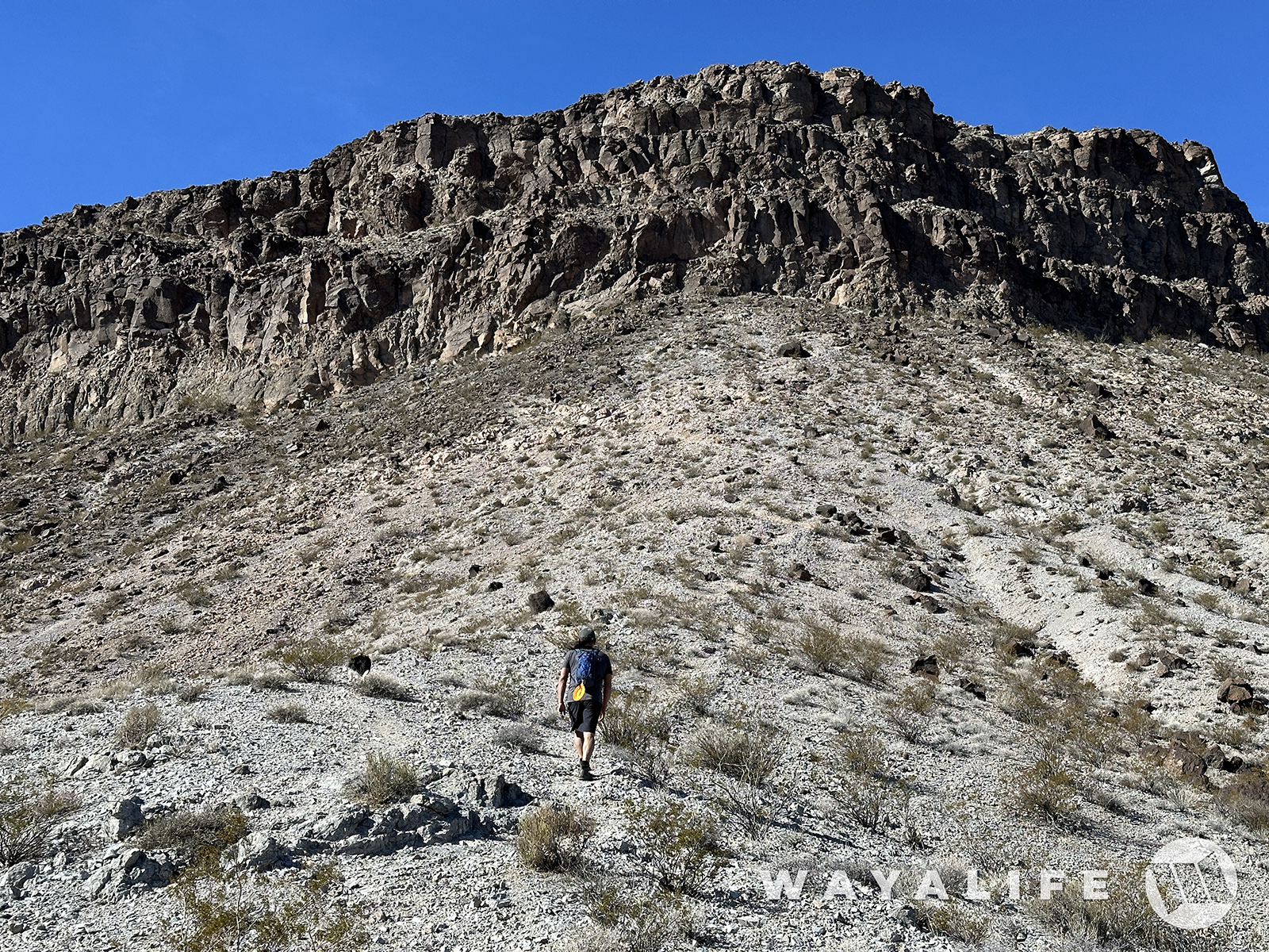
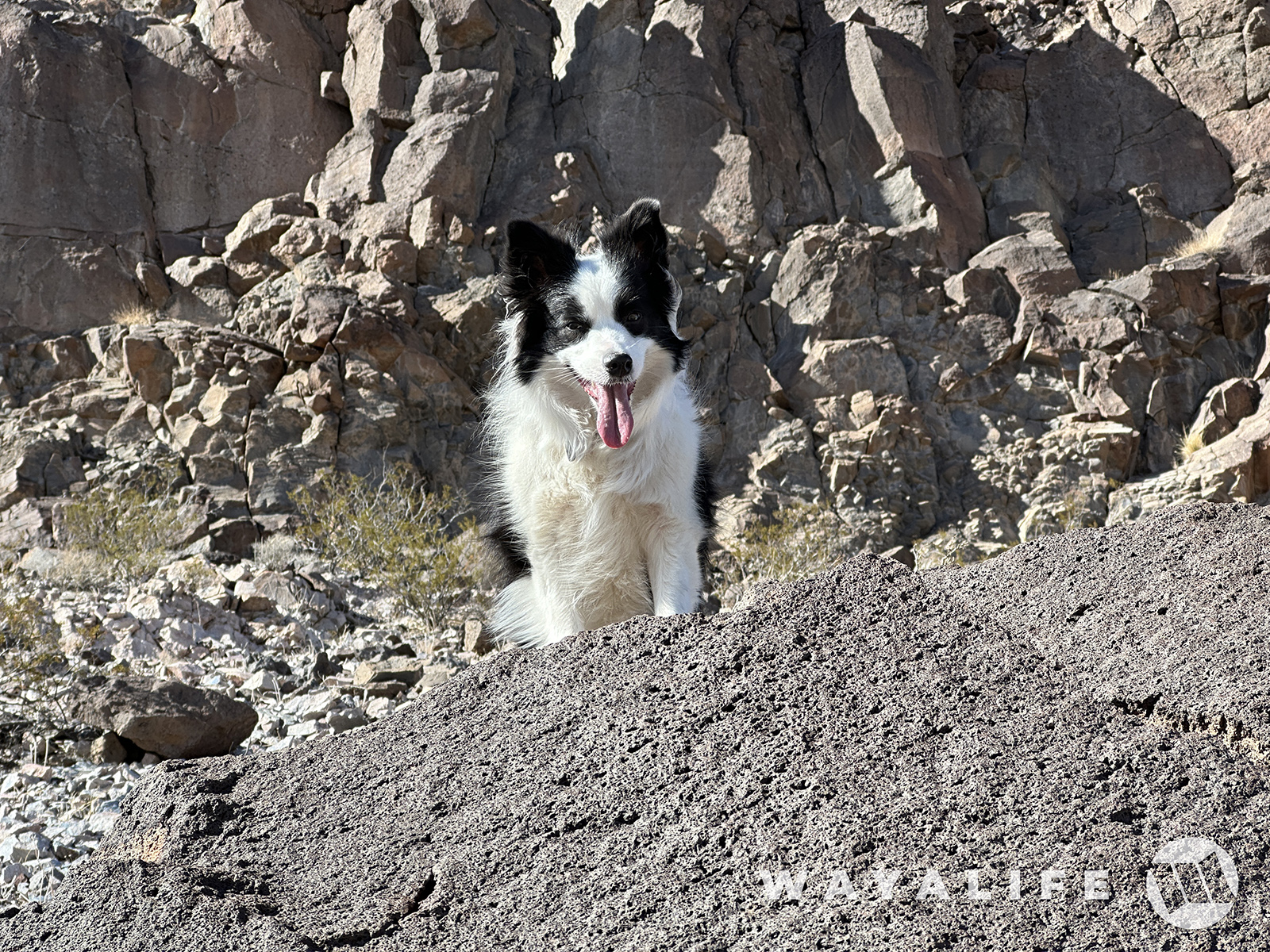
Ripley asking yet again - "what's taking you so long?"
Made it to the base of the cliff and traversing it along a narrow section of trail.
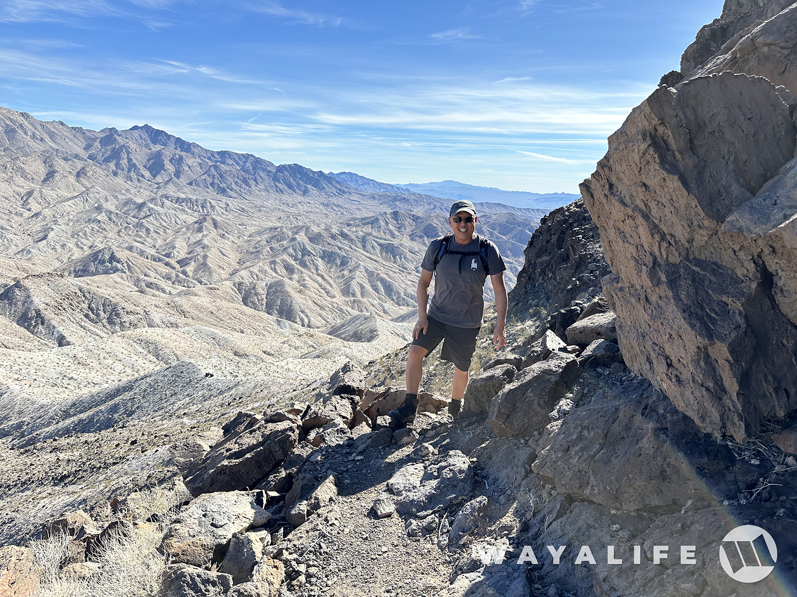
If you look real carefully, you can actually see our Jeep from here.
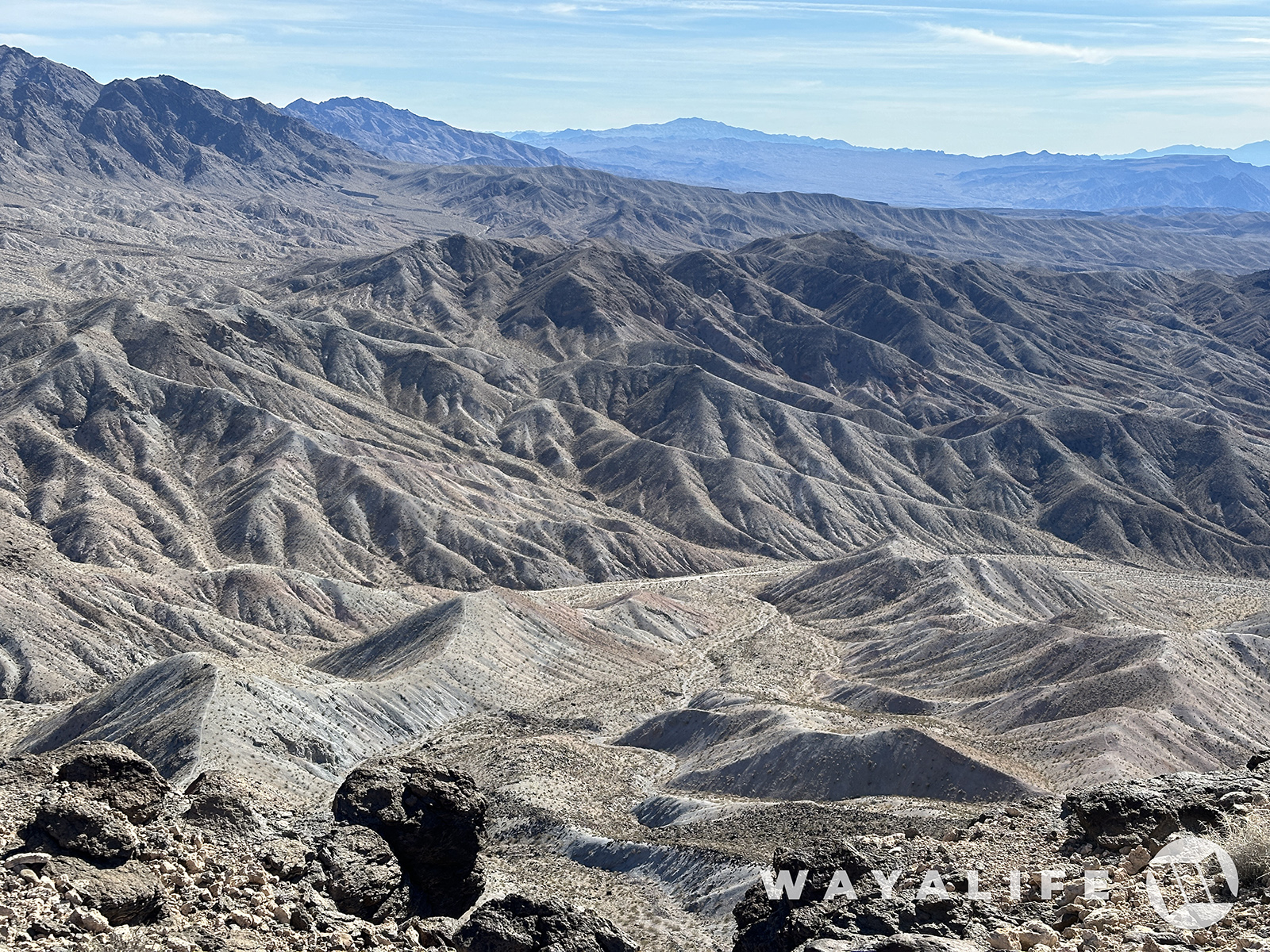
You can't really tell from this pic but the final scramble to the top is steep enough in places that you essentially have to climb your way up on all fours.
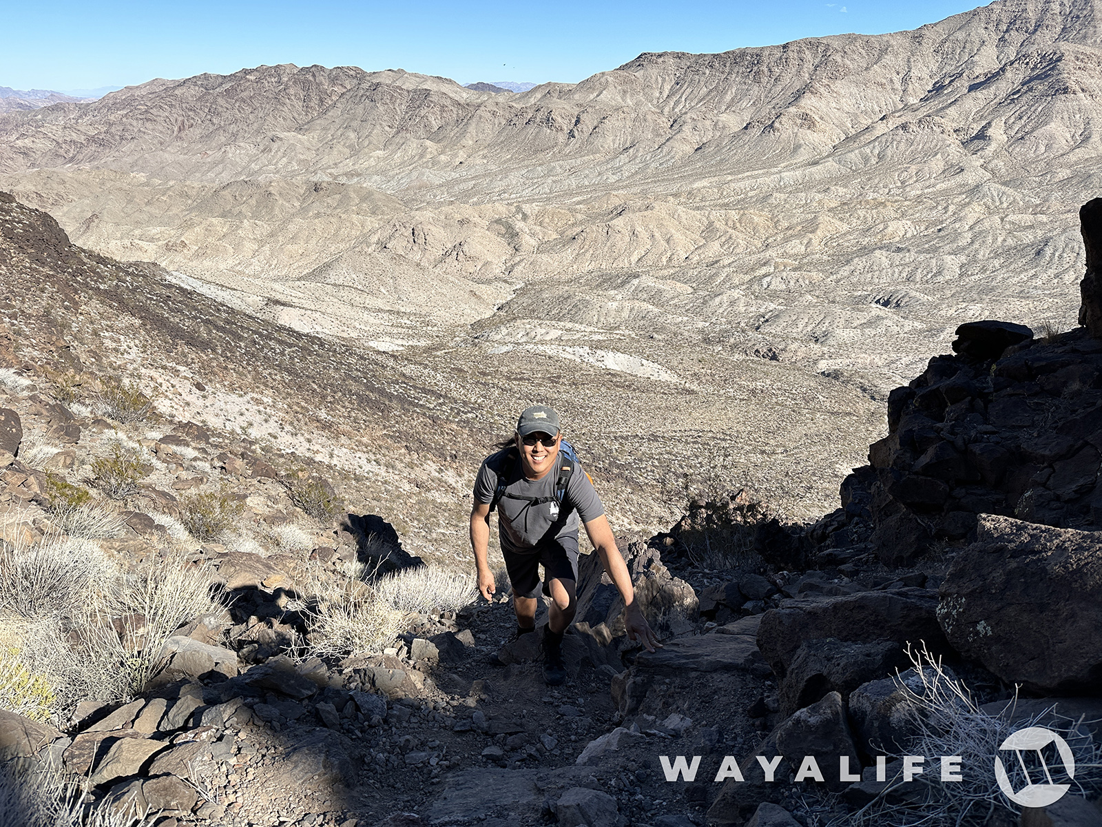
There it is! The top of Fortification Hill!
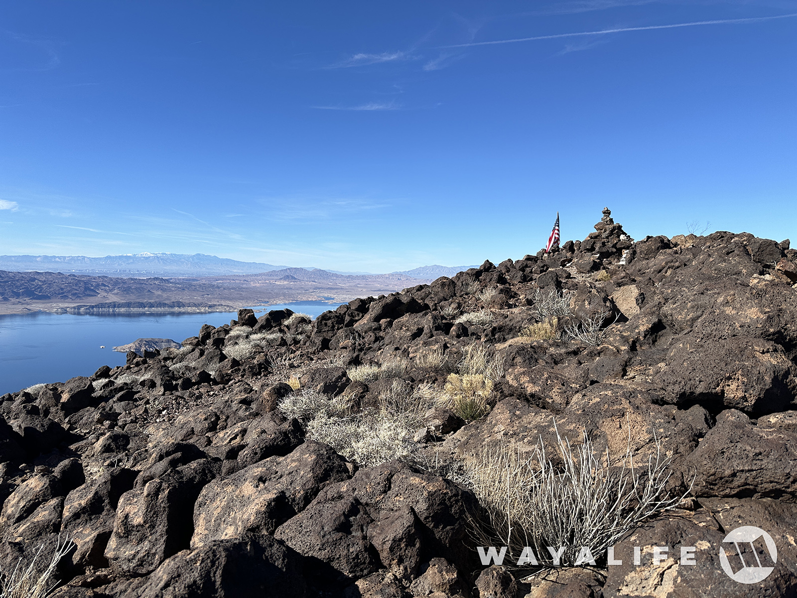
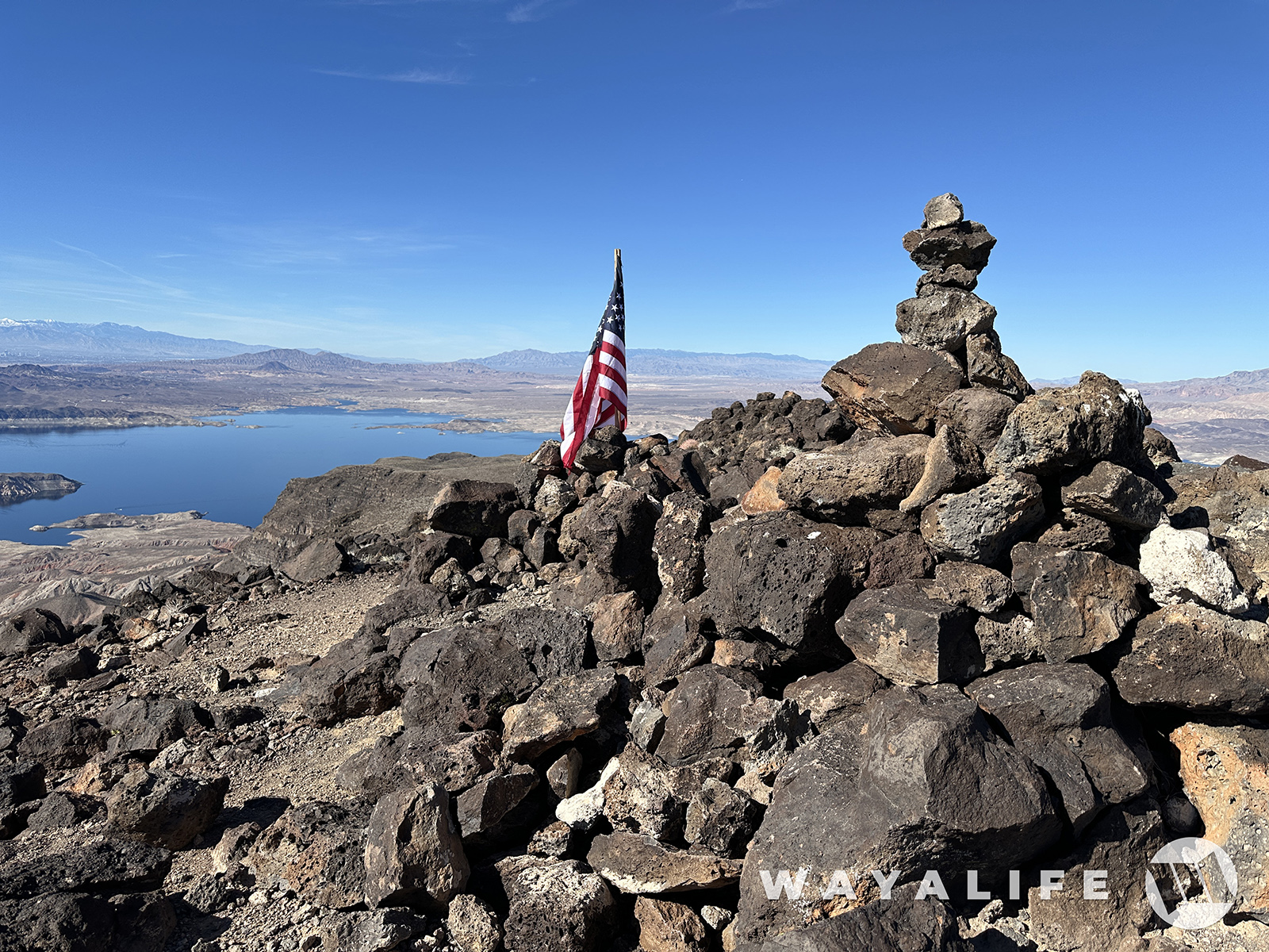
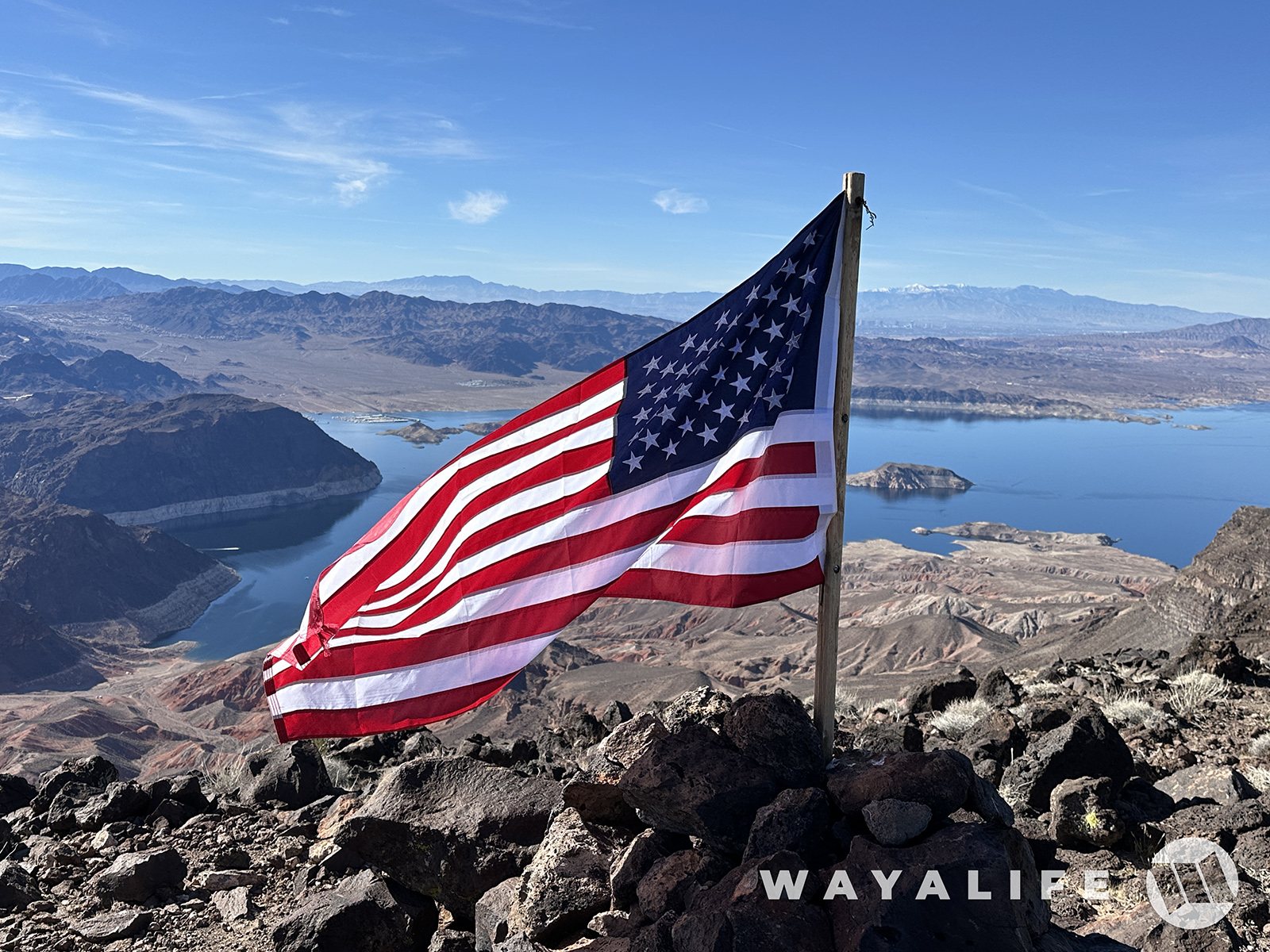
Did I mention that the views from up here are out of this world awesome?
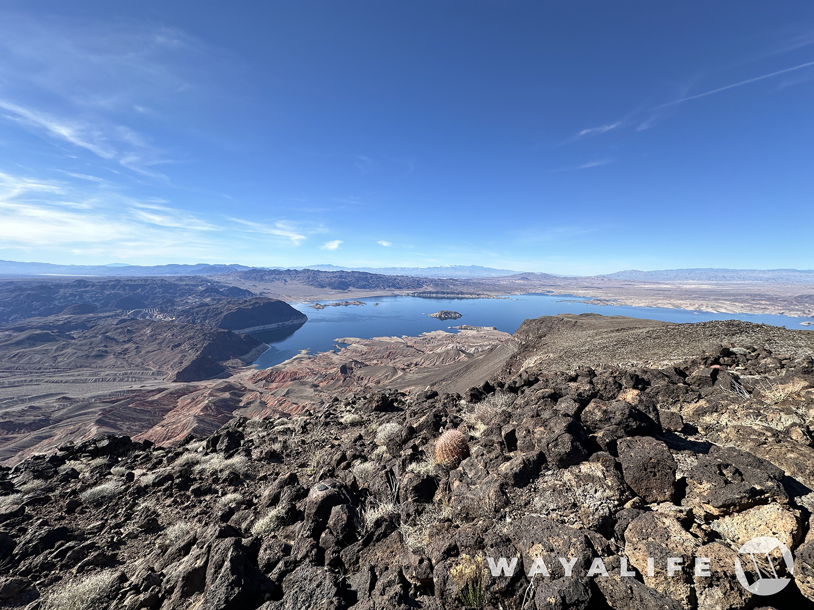
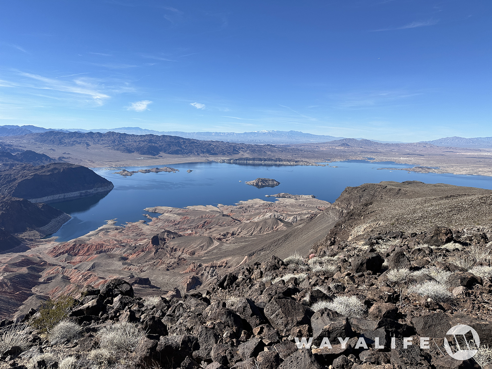
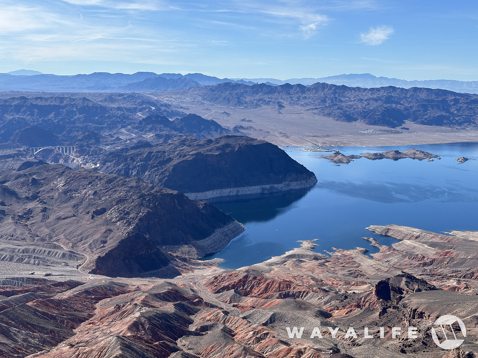
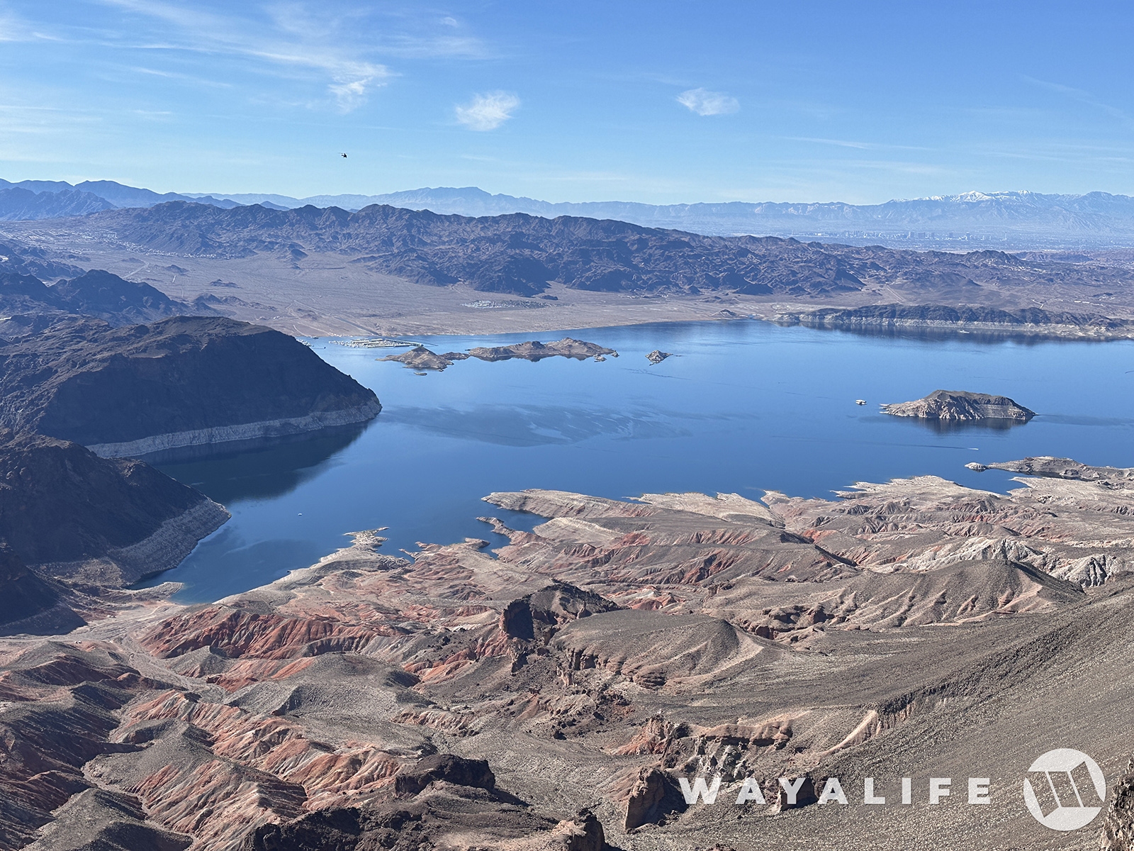
To the left, you can see the Mike O'Callaghan–Pat Tillman Memorial Bridge and Hoover Dam on the left, Kingman Wash Beach in the foreground, the marina that we just had breakfast at in the middle and Boulder City further up the hill.
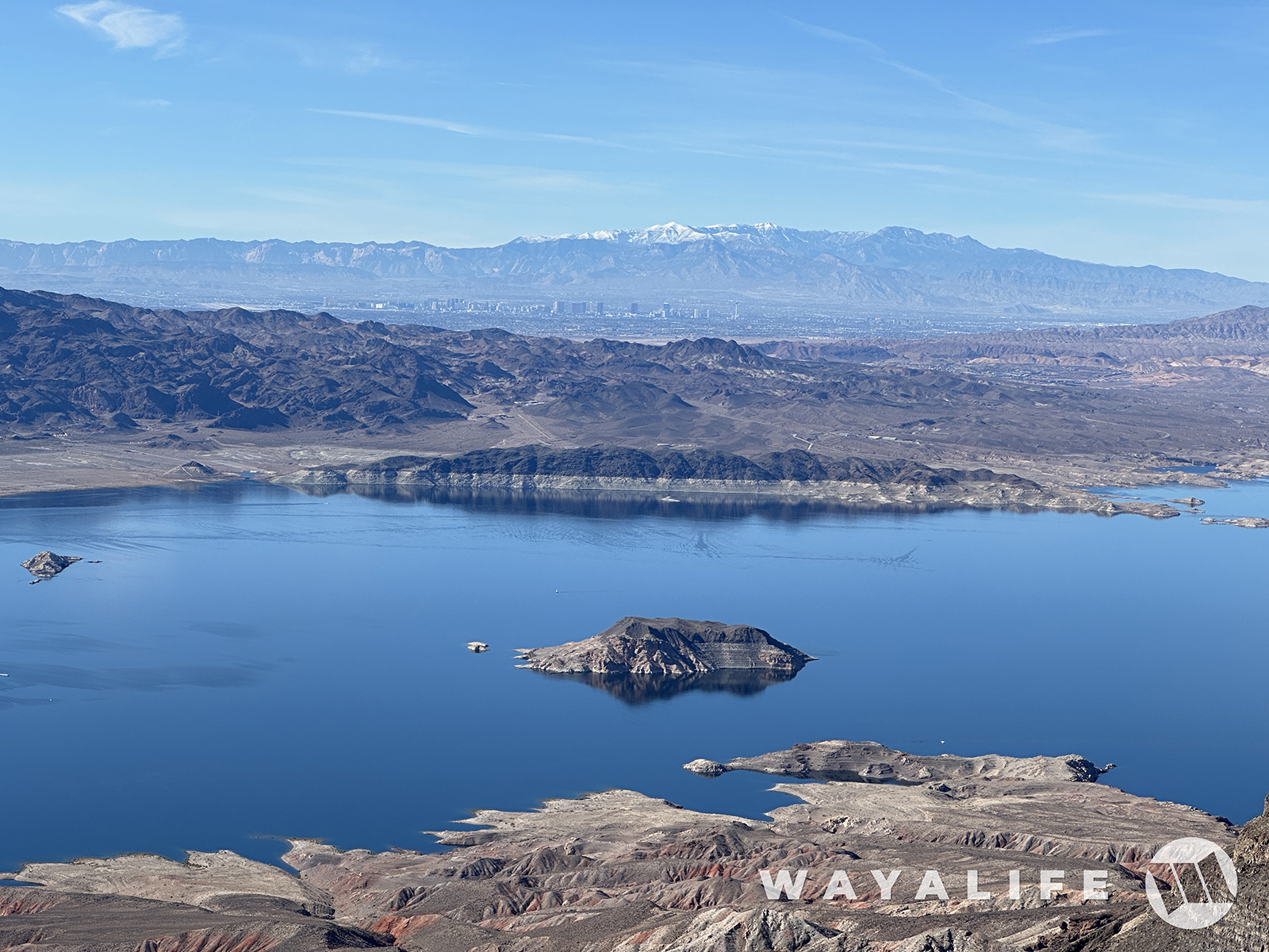
In this shot, you can see the Las Vegas Strip and all the way out to the snow peak of Mt. Charelston in the distance.
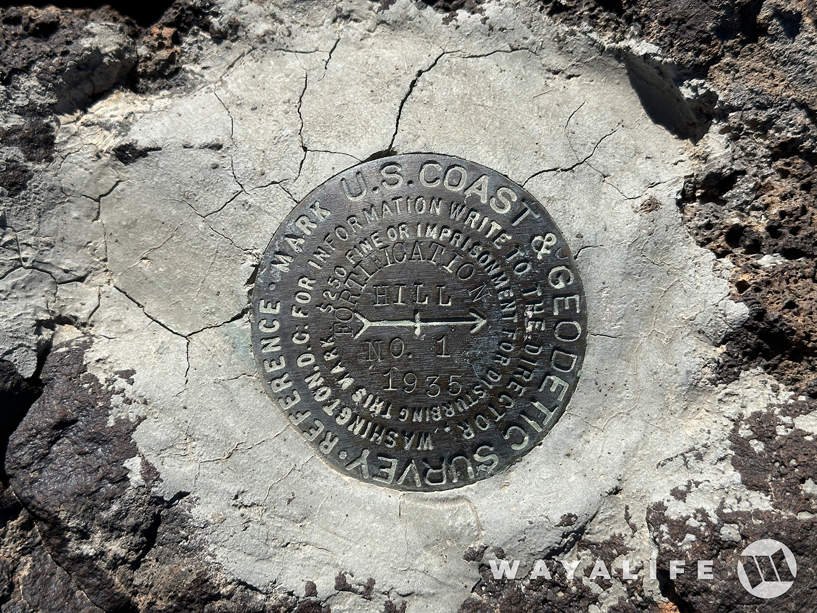
Here's one of two benchmarks that were placed here back in 1935
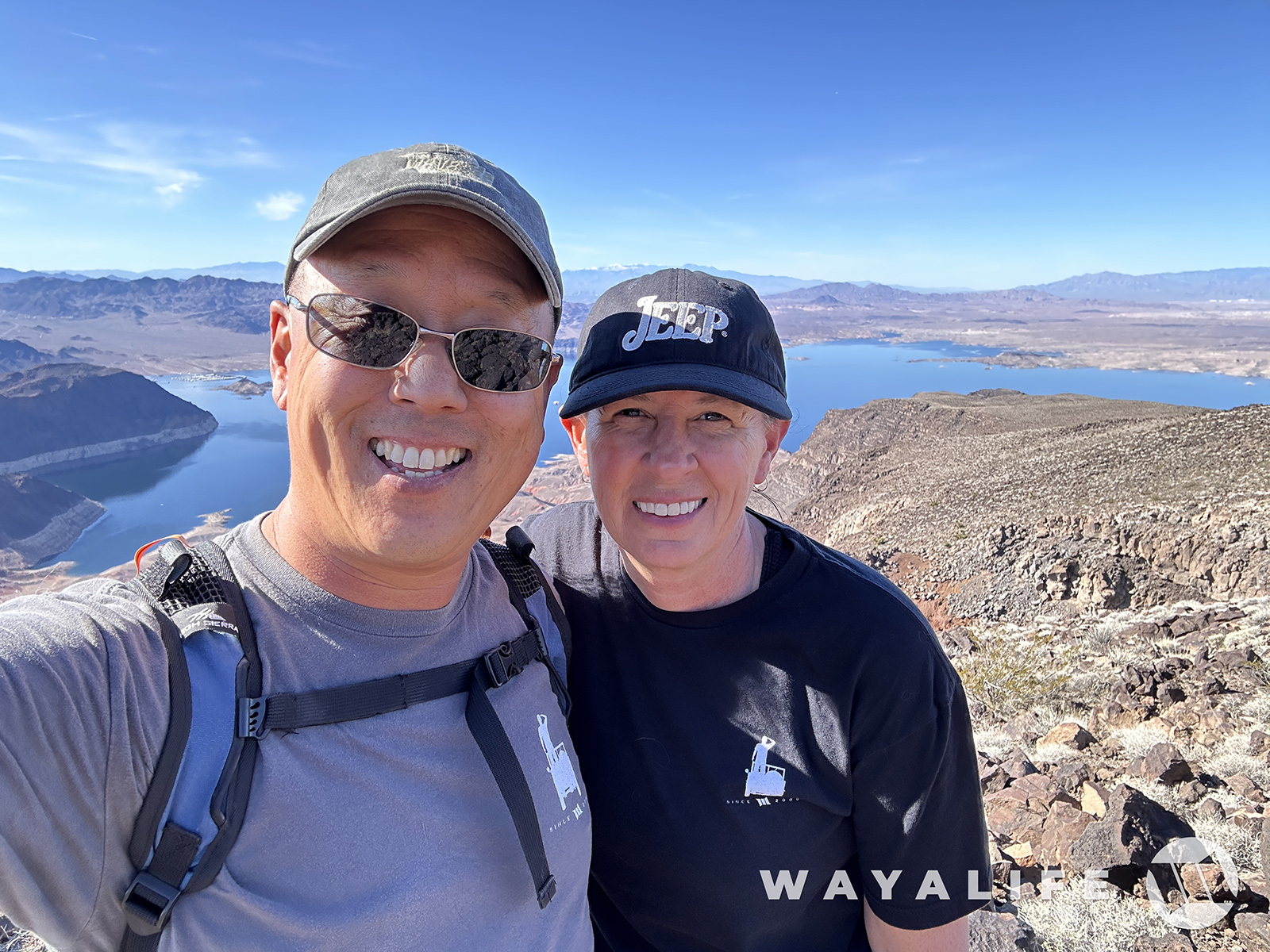
Well, we hope you enjoyed following us along on our little hike today. And I'll tell you, getting back down took a lot more effort than coming up LOL.

Walking along the docks, you can see all the way to Fortification Hill which is the volcanic bluff way in the distance, beyond the boats and on the right side of the pic.

If you've never been here before, the waters are teaming with bigass fish all along the docks.


Of course, we came here to fill our tummies at the Harbor House Cafe.

And of course, enjoy a fine morning cocktail

As we were leaving, I came across Zoltar and decided to ask what we should do today.

And, his answer was, to take a hike!

Taking Zoltar's advice, literally, we decided to cross the Hoover Dam and make our way out to Kingman Wash.

Sure is a pretty sight here and super clear today! You can even see the white tip of Mt. Charleston in the distance.


So, about that hike... this kept on calling us. Fortification Hill.

Although we were close to the base of it, there's no trail that takes you up to the top of it here. So, we hopped back in our 392 and drove to a point where there is a trail we could hike up.

And, we were off!

Fortunately, the hike to the top is only 2 miles long. The sucky part is that within the first mile, you have an elevation gain over 1,400 feet and all on steep, loose rock!

Thanks to the cliffs surrounding it, there's no direct route to the top and so we had to circle around it to get to a point where scrambling up would be a little easier.

The higher up we went, the more you could see including the Mike O'Callaghan–Pat Tillman Memorial Bridge.

Up and up and up we go.

Getting closer to the cliff face.


Ripley asking yet again - "what's taking you so long?"

Made it to the base of the cliff and traversing it along a narrow section of trail.

If you look real carefully, you can actually see our Jeep from here.

You can't really tell from this pic but the final scramble to the top is steep enough in places that you essentially have to climb your way up on all fours.

There it is! The top of Fortification Hill!


Did I mention that the views from up here are out of this world awesome?


To the left, you can see the Mike O'Callaghan–Pat Tillman Memorial Bridge and Hoover Dam on the left, Kingman Wash Beach in the foreground, the marina that we just had breakfast at in the middle and Boulder City further up the hill.


In this shot, you can see the Las Vegas Strip and all the way out to the snow peak of Mt. Charelston in the distance.

Here's one of two benchmarks that were placed here back in 1935

Well, we hope you enjoyed following us along on our little hike today. And I'll tell you, getting back down took a lot more effort than coming up LOL.

Last edited:
HighwayTrout
Hooked
Fantastic!
DirtHeadDavis
Hooked
Awesome pics! We used to take the Jet Skis to Lake Mead quite a bit when I was younger.
Glad you liked the pics. All I could think of on the way up is that you would have thought we were pussiesFantastic!
You mean you were out there last week?Awesome pics! We used to take the Jet Skis to Lake Mead quite a bit when I was younger.

