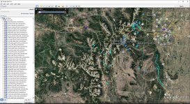
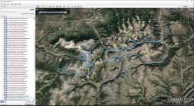
Any interest in Google Earth and trails?

GraniteCrystal

New member
I'm still building up my toolbox when it comes to planning trips, trail rides, etc. Right now I'm looking at putting something together in Google Earth. Here is a sample of what it could look like (bonus points if anyone can name this world famous trail):
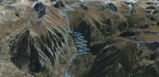
GoogleEarthBlackBear.jpg

If I put this together, would others be interested in a tool like this? Just trying to gauge interest before I do the work.
 
I'm still building up my toolbox when it comes to planning trips, trail rides, etc. Right now I'm looking at putting something together in Google Earth. Here is a sample of what it could look like (bonus points if anyone can name this world famous trail):

View attachment 211360

If I put this together, would others be interested in a tool like this? Just trying to gauge interest before I do the work.

Black Bear Pass?

And I mean, who wouldn't be interested. Jeep Badge of Honors isn't complete enough for my taste.
 
There is a guy in my ATV club that has already done this with Windrock/Royale Blue/Brinstone in Tennessee and sells the overlays for $50 to use on most GPS devices and google earth.
 
I would most definitely be interested especially with all the different trails here in az! I think it all depends on price because I've been holding out on a gps app just because I think the prices aren't worth it. Just my .02cents
 
$50 for 3 trails? Seems steep

I personally haven't seen them, but they are apparently really good and it is lifetime update able for free. A map just for windrock is around $5. Let's say that you buy a map for each place. That's $15 for one year and they make new maps every year. So, in three years it basically pays for itself.
 
If u search many of the trail maps are free including the windrock ones. Not going to post link but use google. I use oruxmaps app for Android as it has offline mode
 
Would also be interested to know if anyone not interested or knows of something like this that already exists

Google Earth + TrailDamage.com is the only way I know. It is fairly tedious - downloading, organizing, etc.. but I tinker with it in spare time.

Here's the monster Alpine Loop on the right, Black Bear on the left-ish.

tracks2.jpg

Next to Moab, Telluride is the jeepin holy land. :crazyeyes:
 
Top Bottom