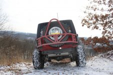
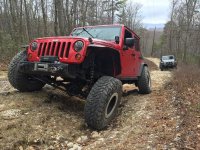
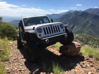
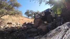
Over the years, Cindy and I have been lucky enough to explore and wheel a myriad of trails extending from the Mexican boarder up to the Canadian border, clear out to the great lakes and a little bit of everything else in between. In spite of all our efforts, we'd be the first to say that there's tons of trails and off road parks that we've yet to run and plenty more still that I'm sure we've never even heard of. Of course, when planning for future trips, we always try to look for areas with a concentration of trails as, I'm sure it is for everyone, time is always limited and we'd like to get in as much as we can while we're there. With all that said, I was hoping a few of you could help paint a picture of what the wheeling is like out in your neck of the woods. In other words, it'd be great if you could share what trails or off road parks are about an hour or so from your home. I'd like for this to be somewhat scientific in that all the information posted should follow the same metric as that way, it can be used as a database for anyone who's interested. With that said, here are the rules I'd like for you to follow:
1. Tell us what city and state you live in.
2. Use Google Maps or the like to calculate a route from your home to trail heads that are located 1.5 hours or less from your home.
3. Post up the total distance to each trail head in terms of routed miles as well as the time it takes to get there.
4. Please list places like Moab, Johnson Valley or an off road park as just one destination.
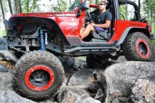
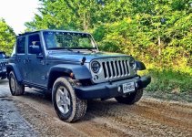
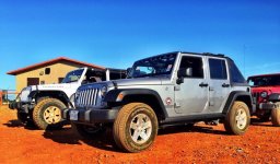
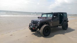
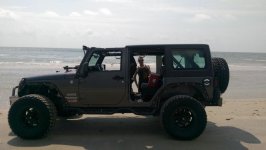
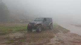
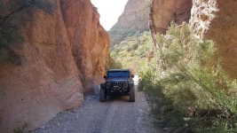
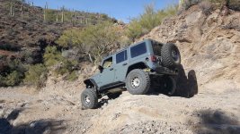
5. Please post just ONE (1) pic of your Jeep on each of the trails you list and tell us a bit about them.
6. DO NOT post up actual maps, directions or GPS coordinates to any of the trails listed.
7. DO NOT post up trails or wheeling areas that are on private land or are illegal to be on.
8. If the trail listed is a LEGAL destination that locals like to keep quiet about, please abbreviate the name.
While we don't have as many trails as some of you out there, the below is a list of a few that we do have and is an example of what I'd like to see from you.
From our home in Carson City, Cindy and I have over 30 trails that we can get to within 1.5 hours or less. 8 of those trails are within an hour or less, 7 can be reached within a half hour or less and 2 are about 5 minutes away. The closest dirt we have is 2 minutes away but you'd have to drive an additional 3 minutes to get onto rocks that require into low range. The following list only highlights trails that I could think of in a hurry and have actual names. Most I will call out but a few I will abbreviate to help keep them local. Most of these trails require the use of 4WD but a few are just scenic forest roads. Where multiple trails start from the same trail head or general area, I have counted them as just 1 destination. Anyway, here are a few of the trails near to us.
Prison Hill
1 miles - 2 min
Large off road play area with big rocks ranging from mild to wild just down the street from our home.

Kings Canyon
6 miles - 17 min
One of many cut offs along the historic California Trail. Eventually became part of the Lincoln Highway and was the east route up to Lake Tahoe. Easy trail with pretty views.
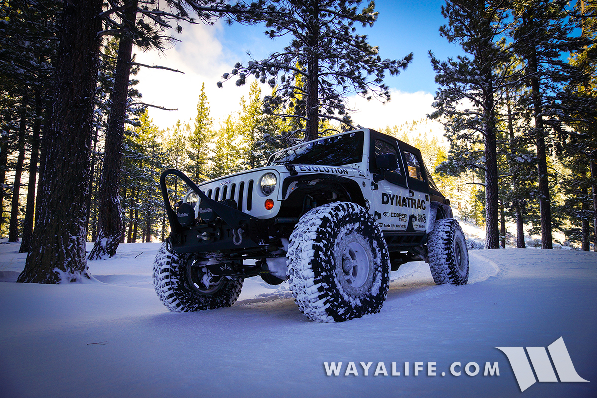
Ash Canyon
6 miles - 18 min
Trail leading up from Carson City up into a part of the Sierra Nevada Mountains. Easy trail with great views of the city below.
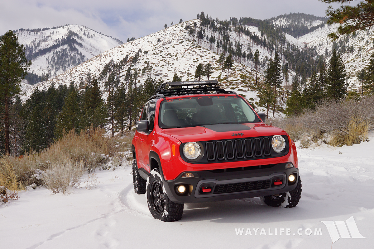
Genoa Peak
11 miles - 15 min
Easy trail that takes you up to one of the taller peaks in the Lake Tahoe area with great views of the lake.

Eldorado Canyon / H&W Canyon / Como
14 miles - 21 min
Several trails extend from this trail head. A few are easy and filled with history and a couple are a challenge.
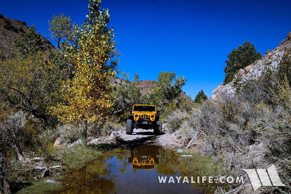
Bronco Canyon
20 miles - 33 min
Fun trail up in the Virginia City area that has some great history and can be a challenge. There is an upper portion that is buggy terrain and there are tons of other trails surrounding the area.
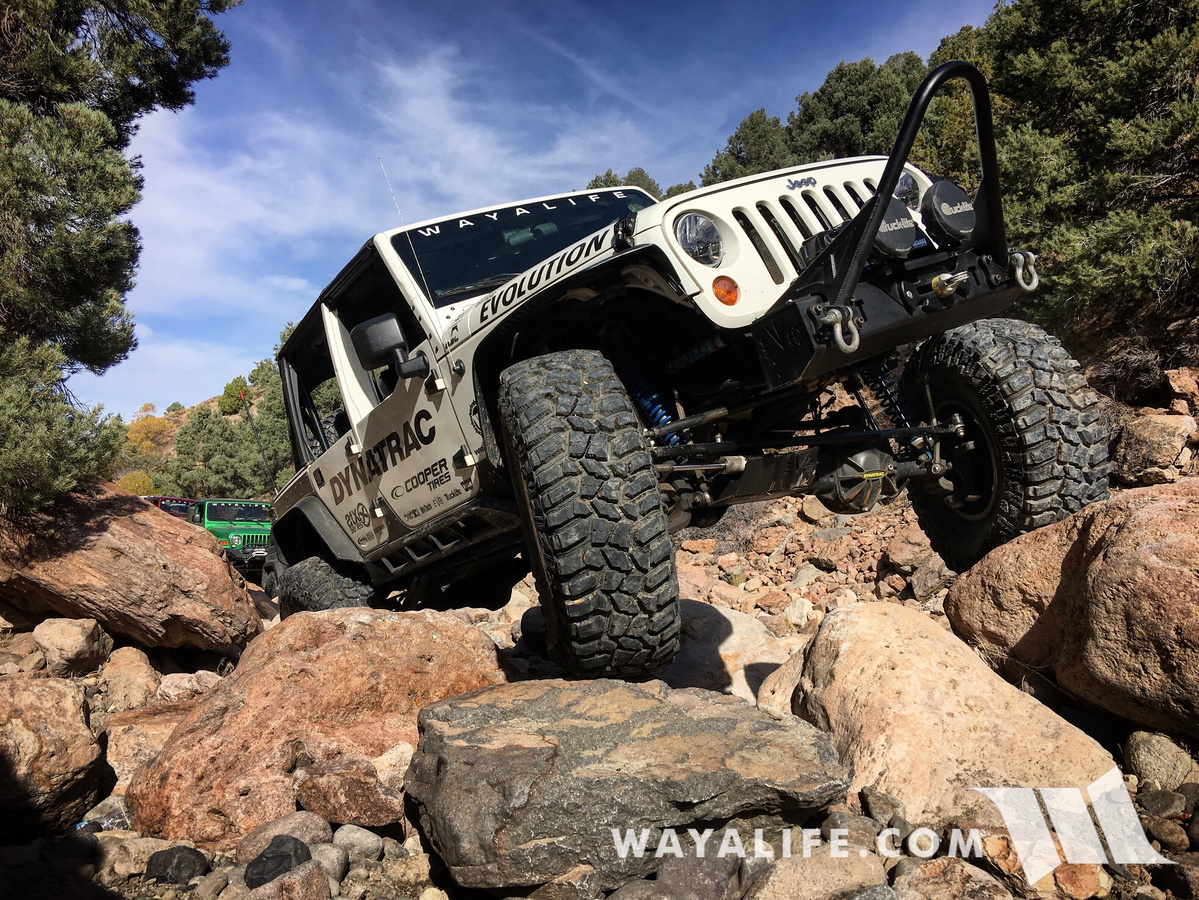
S. Canyon
20 miles - 30 min
A short but challenging trail with an optional difficult stretch at the end.
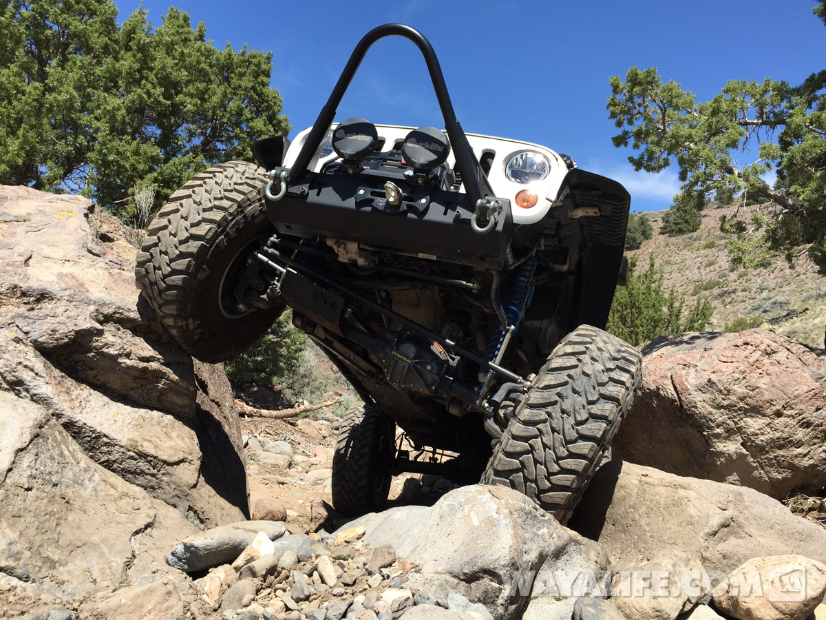
Barney Riley
22 miles - 31 min
Easy trail that takes you along the Carson River and out to a hot spring that requires you to ford the river to get to.

Twin Peaks
31 miles - 50 min
A small off road play area on the west end of South Lake Tahoe. There are a couple of man made challenging lines you can take.
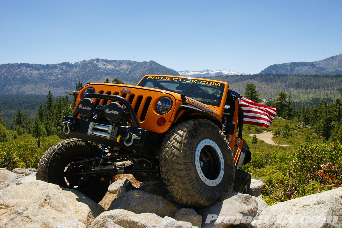
Hunter Lake
33 miles - 43 min
Easy but fun trail that takes you up above the Truckee Meadows and offers great views of Reno below.
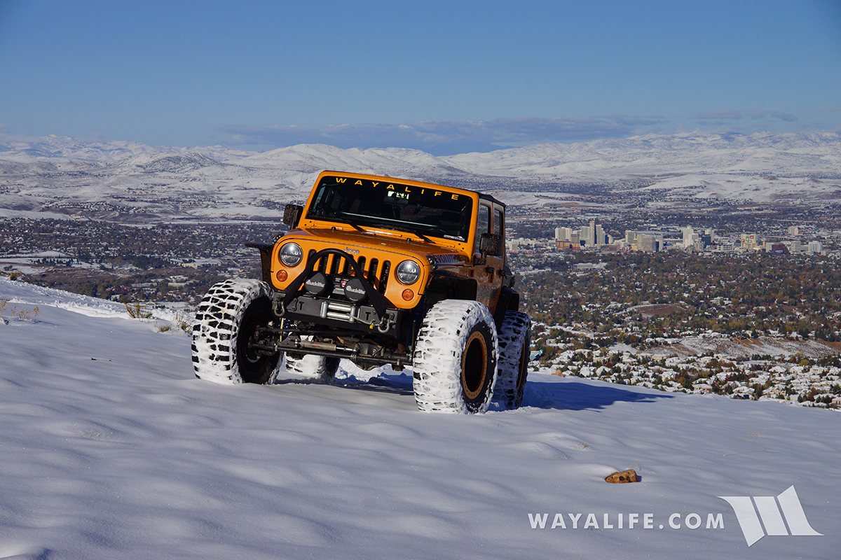
Blue Lakes / Lost Lakes
39 miles - 48 min
Easy shelf road that takes you up the Forestdale Divide and out to beautiful lakes.

Delores
42 miles - 49 min
A short trail just north of Reno that has a challenging rock section toward the beginning and a dry fall toward the end.
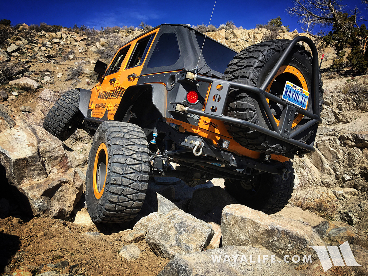
Tonka
45 miles - 55 min
Fun trail north of Reno with some challenging rock sections.
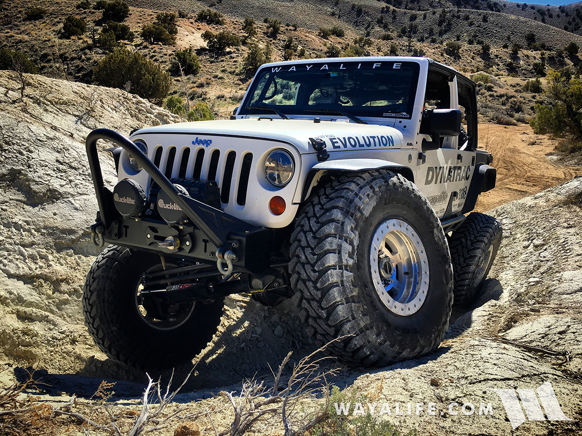
Billy Bob / Twister
46 miles - 59 min
Two short but challenging trails with big rock obstacles north of Reno.
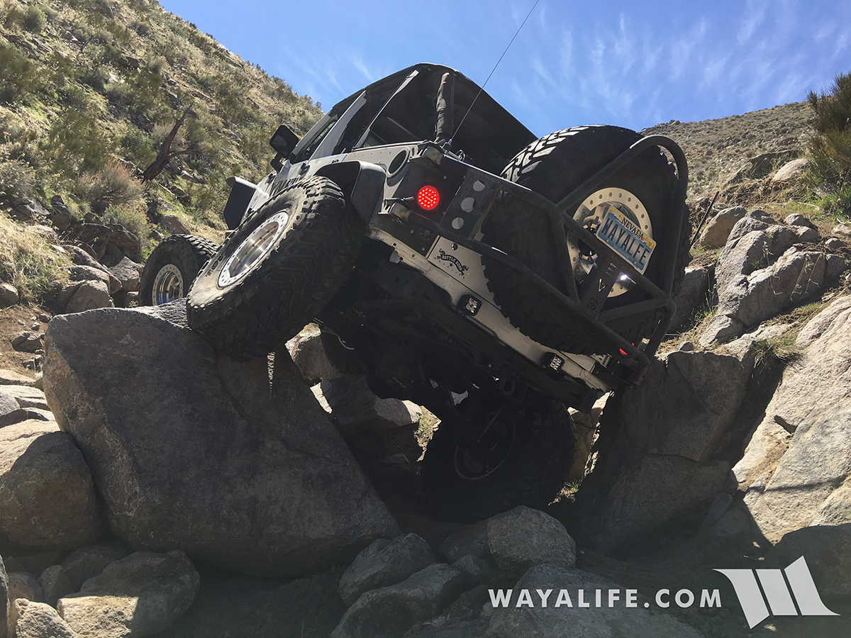
Rubicon / Ellis Peak
47 miles - 1 hr 17 min
What can I say, it's the Rubicon Trail! There is also a lesser known trail that's in the area and it takes you up to Ellis Peak.
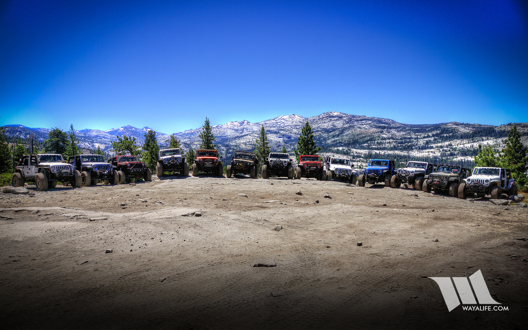
Henness Pass / Peavine
47 miles - 56 min
Easy historic stage route across the Sierra Nevada Mountains.
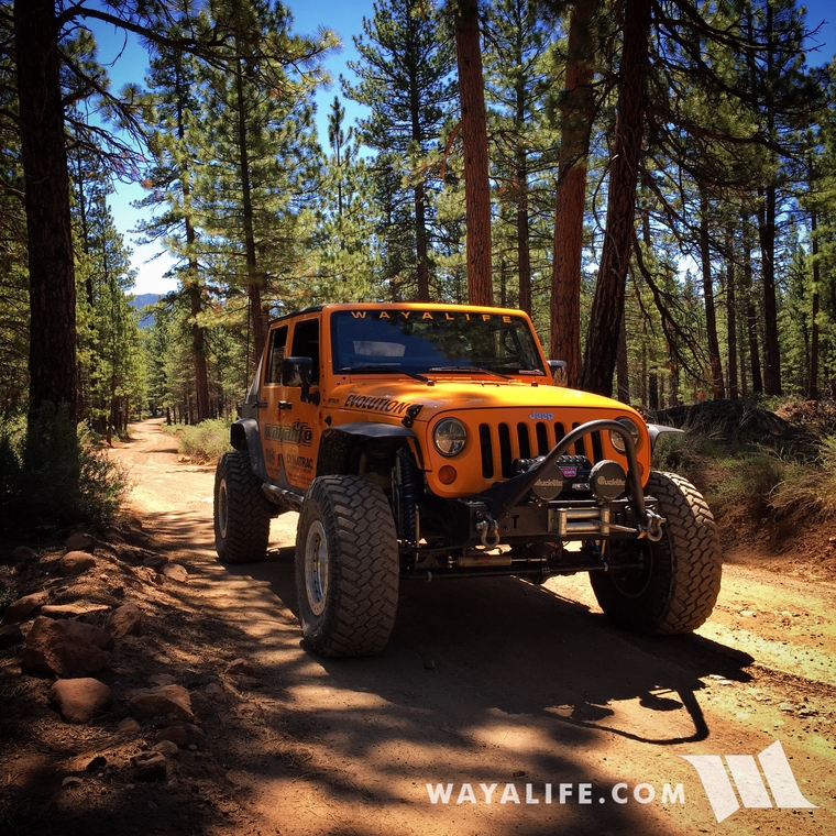
Barrett Lake
49 miles - 1 hr 11 min
A challenging trail just west of Lake Tahoe. This trail was closed up until recently and it's good to see it open again.
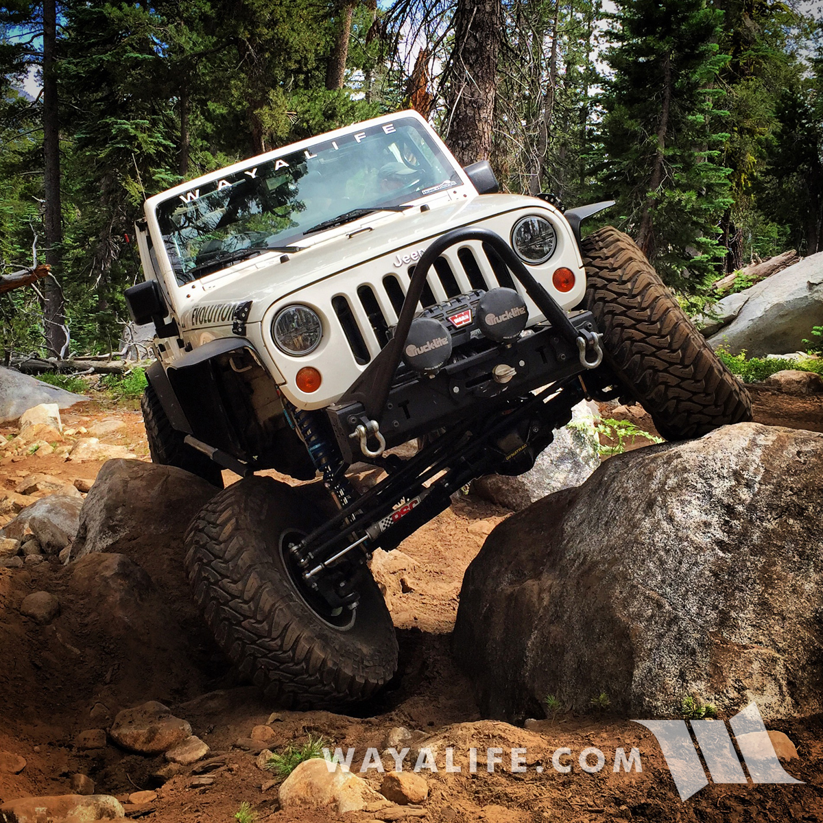
Bear Valley
55 miles - 1 hr 16 min
This is an off road play area north of Truckee. There's only a couple of obstacles for a Jeep to be challenged on but can be fun up in the snow.
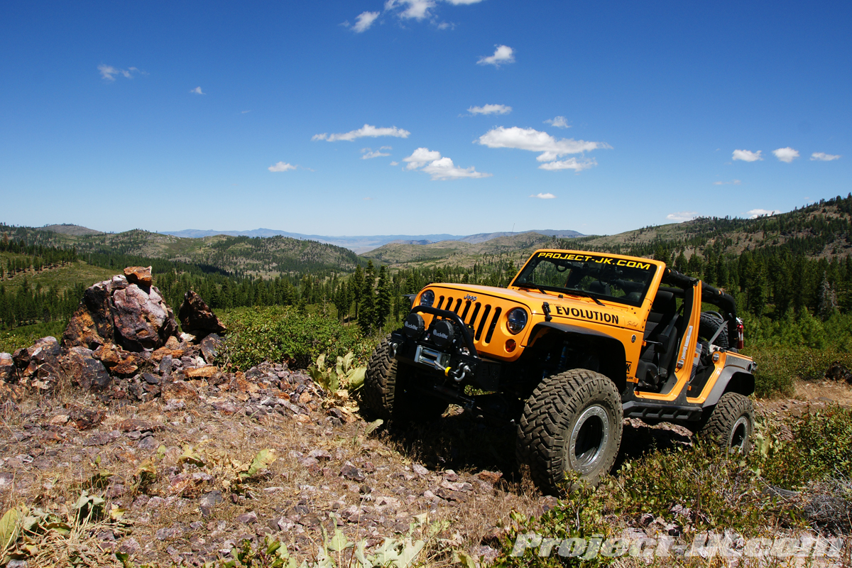
Slickrock
55 miles - 1 hr 9 min
An old service route that was established during the construction of the Utica Reservoir. It used to be a moderate trail but a tough obstacle toward the end has been made a lot tougher in recent years.
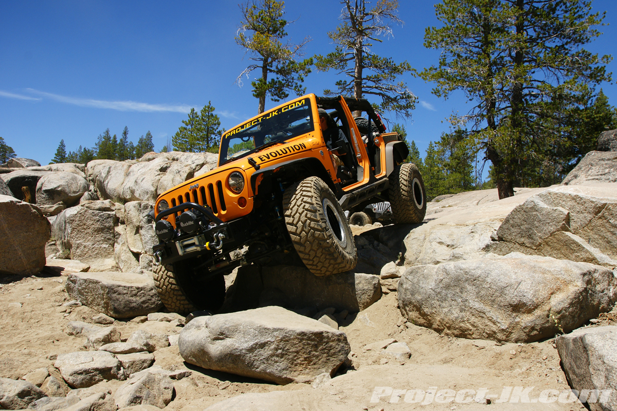
Steve's Loop
62 miles - 1 hr 10 min
A very scenic trail near Pyramid Lake that climbs a small creek and has some challenging boulders in it.
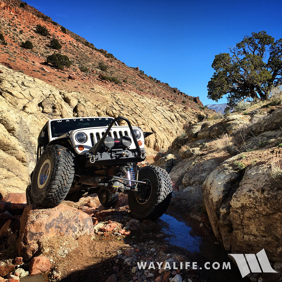
Fordyce / Signal Peak
64 miles - 1 hr 20 min
Signal Peak can be a challenging trail but Fordyce is the real deal. It is without question, one of the toughest trails in the Sierra Nevada Mountains and not just because of it's 5 winch hills. It's water crossings can be prohibitively deep.
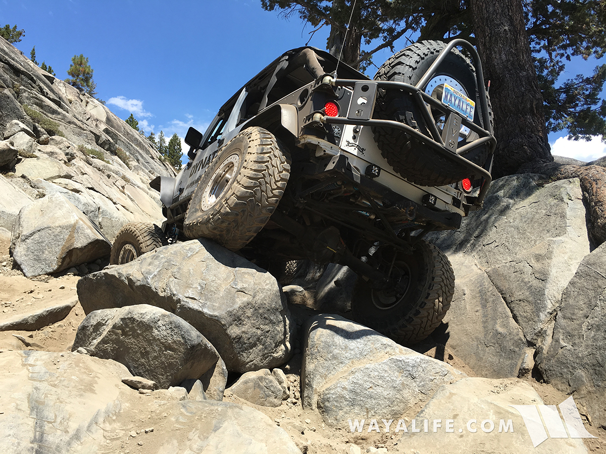
Pine Grove
70 miles - 1 hr 35 min
Easy scenic trail that takes you up to a nice ghost town.
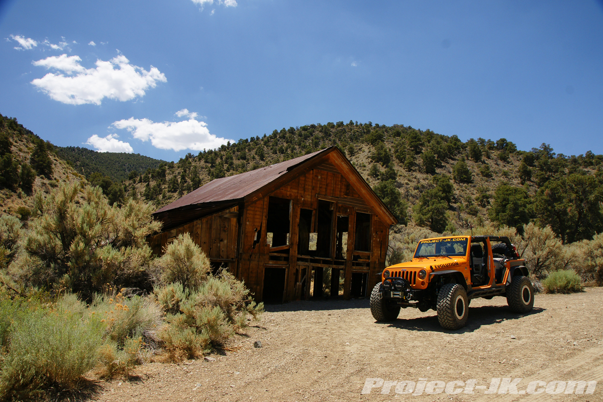
Schoolbus Canyon
80 miles - 1 hr 28 min
Easy trail that takes you out to historic mines and a pair of old school buses out in the middle over nowhere. It has some challenging ruts and a couple of rock challenges.
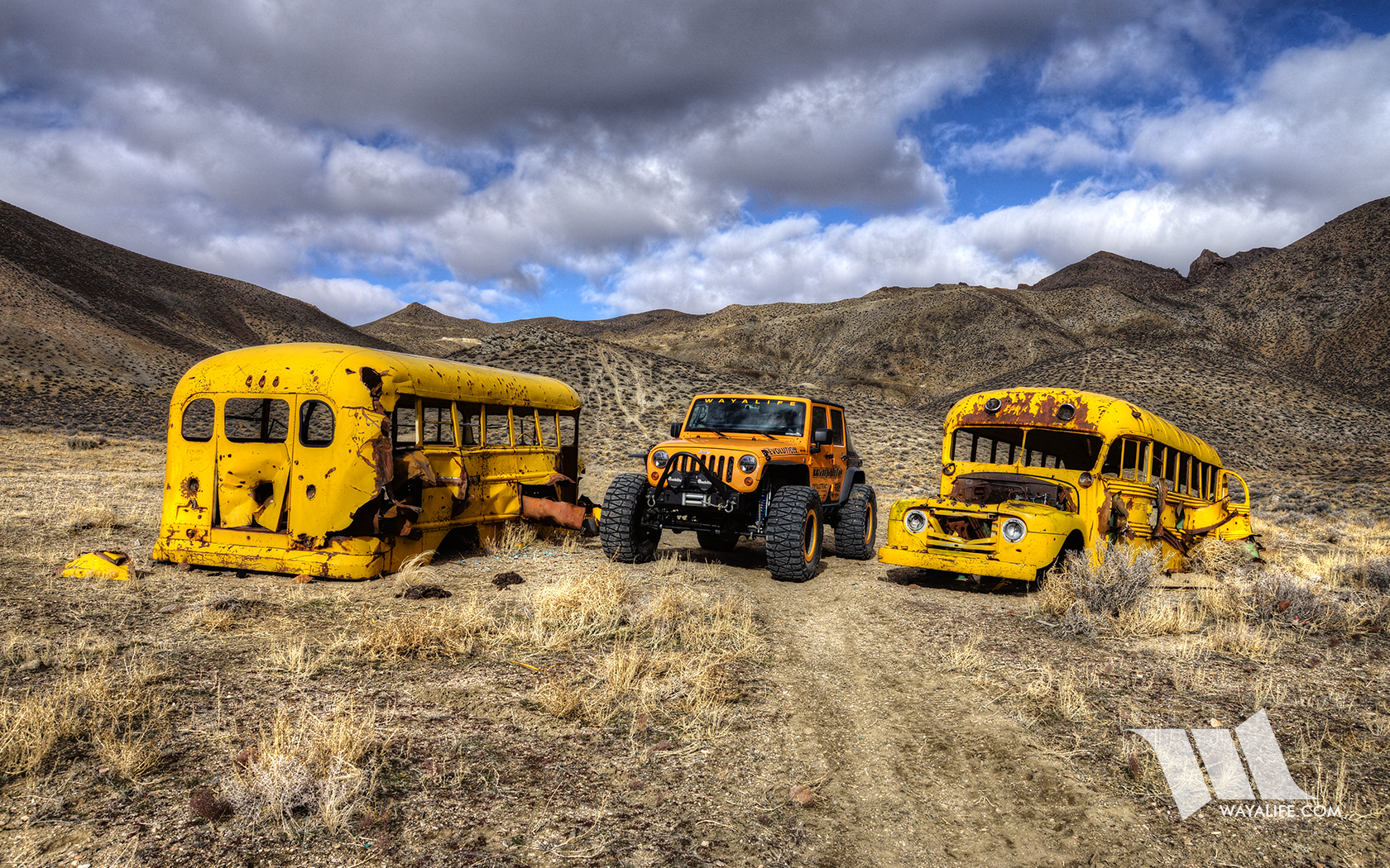
Other trails that we have nearby but couldn't find pics of in a pinch include V. Canyon which is just 1 mile/5min away, Brunswick Canyon and L. Canyon which are 7 miles/13 min, Bud Canyon at 39 miles/47 min and the Moon Rocks at 59 miles/1 hr 18 min. I did not include any trails that have recently closed and this list does not include the countless trails stretching across the Sierra Nevada Mountains to the west and south or out to the open desert to the north and the east. But, in a nutshell, those are some of the trails we have within an hour and a half of us or less.
With that said, I'd love to hear what you have around you? :yup:
1. Tell us what city and state you live in.
2. Use Google Maps or the like to calculate a route from your home to trail heads that are located 1.5 hours or less from your home.
3. Post up the total distance to each trail head in terms of routed miles as well as the time it takes to get there.
4. Please list places like Moab, Johnson Valley or an off road park as just one destination.
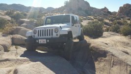
5. Please post just ONE (1) pic of your Jeep on each of the trails you list and tell us a bit about them.
6. DO NOT post up actual maps, directions or GPS coordinates to any of the trails listed.
7. DO NOT post up trails or wheeling areas that are on private land or are illegal to be on.
8. If the trail listed is a LEGAL destination that locals like to keep quiet about, please abbreviate the name.
While we don't have as many trails as some of you out there, the below is a list of a few that we do have and is an example of what I'd like to see from you.
From our home in Carson City, Cindy and I have over 30 trails that we can get to within 1.5 hours or less. 8 of those trails are within an hour or less, 7 can be reached within a half hour or less and 2 are about 5 minutes away. The closest dirt we have is 2 minutes away but you'd have to drive an additional 3 minutes to get onto rocks that require into low range. The following list only highlights trails that I could think of in a hurry and have actual names. Most I will call out but a few I will abbreviate to help keep them local. Most of these trails require the use of 4WD but a few are just scenic forest roads. Where multiple trails start from the same trail head or general area, I have counted them as just 1 destination. Anyway, here are a few of the trails near to us.
Prison Hill
1 miles - 2 min
Large off road play area with big rocks ranging from mild to wild just down the street from our home.
Kings Canyon
6 miles - 17 min
One of many cut offs along the historic California Trail. Eventually became part of the Lincoln Highway and was the east route up to Lake Tahoe. Easy trail with pretty views.

Ash Canyon
6 miles - 18 min
Trail leading up from Carson City up into a part of the Sierra Nevada Mountains. Easy trail with great views of the city below.
Genoa Peak
11 miles - 15 min
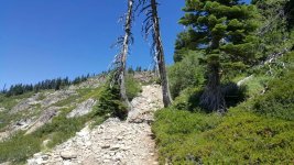
Easy trail that takes you up to one of the taller peaks in the Lake Tahoe area with great views of the lake.
Eldorado Canyon / H&W Canyon / Como
14 miles - 21 min
Several trails extend from this trail head. A few are easy and filled with history and a couple are a challenge.

Bronco Canyon
20 miles - 33 min
Fun trail up in the Virginia City area that has some great history and can be a challenge. There is an upper portion that is buggy terrain and there are tons of other trails surrounding the area.

S. Canyon
20 miles - 30 min
A short but challenging trail with an optional difficult stretch at the end.
Barney Riley
22 miles - 31 min
Easy trail that takes you along the Carson River and out to a hot spring that requires you to ford the river to get to.
Twin Peaks
31 miles - 50 min
A small off road play area on the west end of South Lake Tahoe. There are a couple of man made challenging lines you can take.
Hunter Lake
33 miles - 43 min
Easy but fun trail that takes you up above the Truckee Meadows and offers great views of Reno below.
Blue Lakes / Lost Lakes
39 miles - 48 min
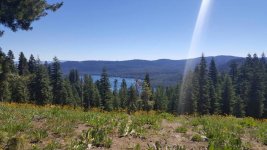
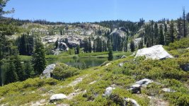
Easy shelf road that takes you up the Forestdale Divide and out to beautiful lakes.
Delores
42 miles - 49 min
A short trail just north of Reno that has a challenging rock section toward the beginning and a dry fall toward the end.
Tonka
45 miles - 55 min
Fun trail north of Reno with some challenging rock sections.
Billy Bob / Twister
46 miles - 59 min
Two short but challenging trails with big rock obstacles north of Reno.
Rubicon / Ellis Peak
47 miles - 1 hr 17 min
What can I say, it's the Rubicon Trail! There is also a lesser known trail that's in the area and it takes you up to Ellis Peak.
Henness Pass / Peavine
47 miles - 56 min
Easy historic stage route across the Sierra Nevada Mountains.
Barrett Lake
49 miles - 1 hr 11 min
A challenging trail just west of Lake Tahoe. This trail was closed up until recently and it's good to see it open again.
Bear Valley
55 miles - 1 hr 16 min
This is an off road play area north of Truckee. There's only a couple of obstacles for a Jeep to be challenged on but can be fun up in the snow.
Slickrock
55 miles - 1 hr 9 min
An old service route that was established during the construction of the Utica Reservoir. It used to be a moderate trail but a tough obstacle toward the end has been made a lot tougher in recent years.
Steve's Loop
62 miles - 1 hr 10 min
A very scenic trail near Pyramid Lake that climbs a small creek and has some challenging boulders in it.
Fordyce / Signal Peak
64 miles - 1 hr 20 min
Signal Peak can be a challenging trail but Fordyce is the real deal. It is without question, one of the toughest trails in the Sierra Nevada Mountains and not just because of it's 5 winch hills. It's water crossings can be prohibitively deep.
Pine Grove
70 miles - 1 hr 35 min
Easy scenic trail that takes you up to a nice ghost town.
Schoolbus Canyon
80 miles - 1 hr 28 min
Easy trail that takes you out to historic mines and a pair of old school buses out in the middle over nowhere. It has some challenging ruts and a couple of rock challenges.
Other trails that we have nearby but couldn't find pics of in a pinch include V. Canyon which is just 1 mile/5min away, Brunswick Canyon and L. Canyon which are 7 miles/13 min, Bud Canyon at 39 miles/47 min and the Moon Rocks at 59 miles/1 hr 18 min. I did not include any trails that have recently closed and this list does not include the countless trails stretching across the Sierra Nevada Mountains to the west and south or out to the open desert to the north and the east. But, in a nutshell, those are some of the trails we have within an hour and a half of us or less.
With that said, I'd love to hear what you have around you? :yup:

