Sightseeing CENTRAL NEVADA

wayoflife

Administrator
Staff member
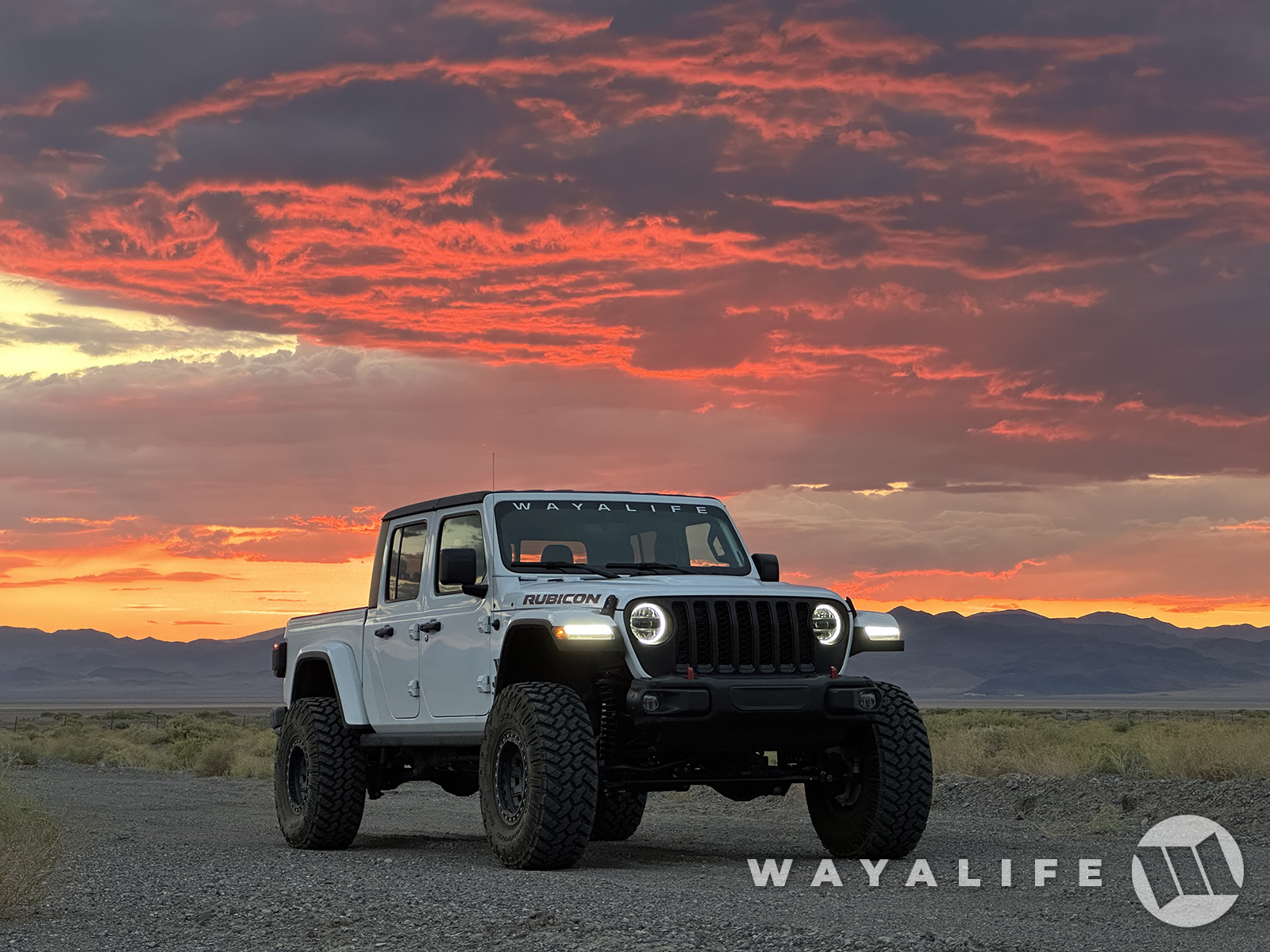
For reasons that I think most can understand, Cindy and I don't usually make it a habit of visiting our place down in Boulder City during the summer months or at least, not unless we have to. Needless to say, something came up that required our presence, twice in two weeks and rather than just bee line it down and back again, the second time around, we decided to use the opportunity to make our trip into a fun filled sight seeing one and across Central Nevada. Anyway, here are a few highlight pics from our trip.

Being that we got a really late start, we decided to make a stop at one of our favorite homes away from home, Tonopah.
20240726085625-c7fe0d6c.jpg


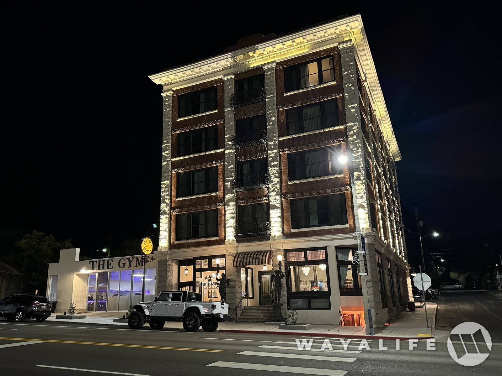
While we typically stay at the Mizpah, on this trip, we decided to spend the night across the street at its sister hotel, the Belvada.
20240726085629-8b6293cb.jpg


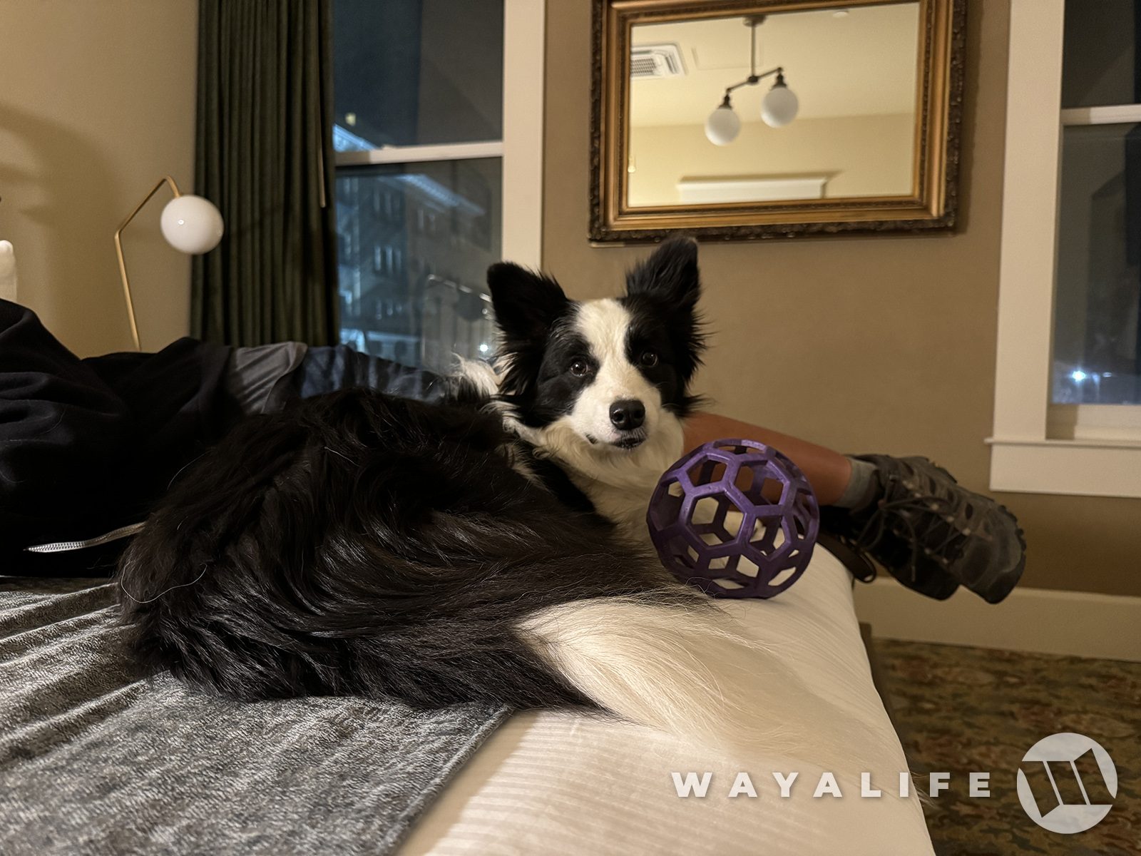
And as you can see, Ripley was all to ready and eager to make herself at home here.
20240726085709-534709d1.jpg


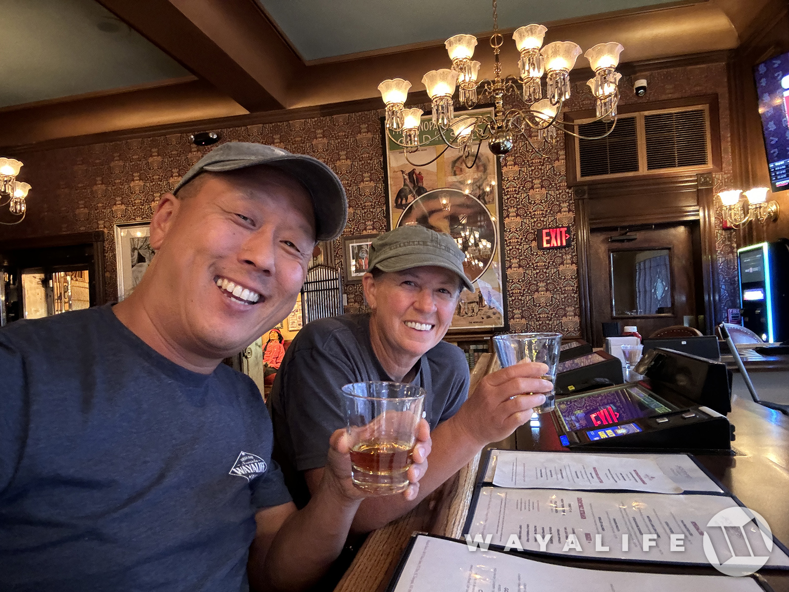
But, before calling it a night, there was some business we had to tend to first - CHEERS!
20240726085537-d0897c7b.jpg


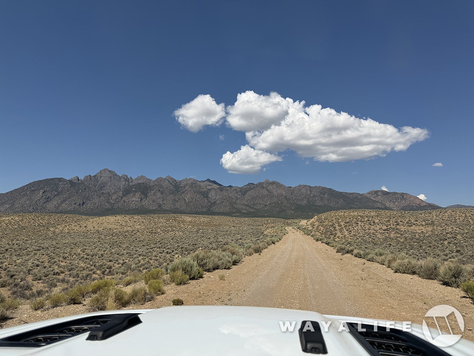
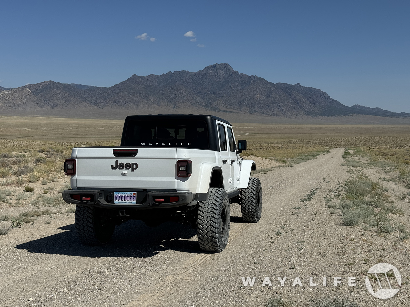
The following morning, we got an early start with the anticipation of spending a very full day checking out some really cool stuff and made our way into the heart of Nevada.
20240726085751-cc54a061.jpg


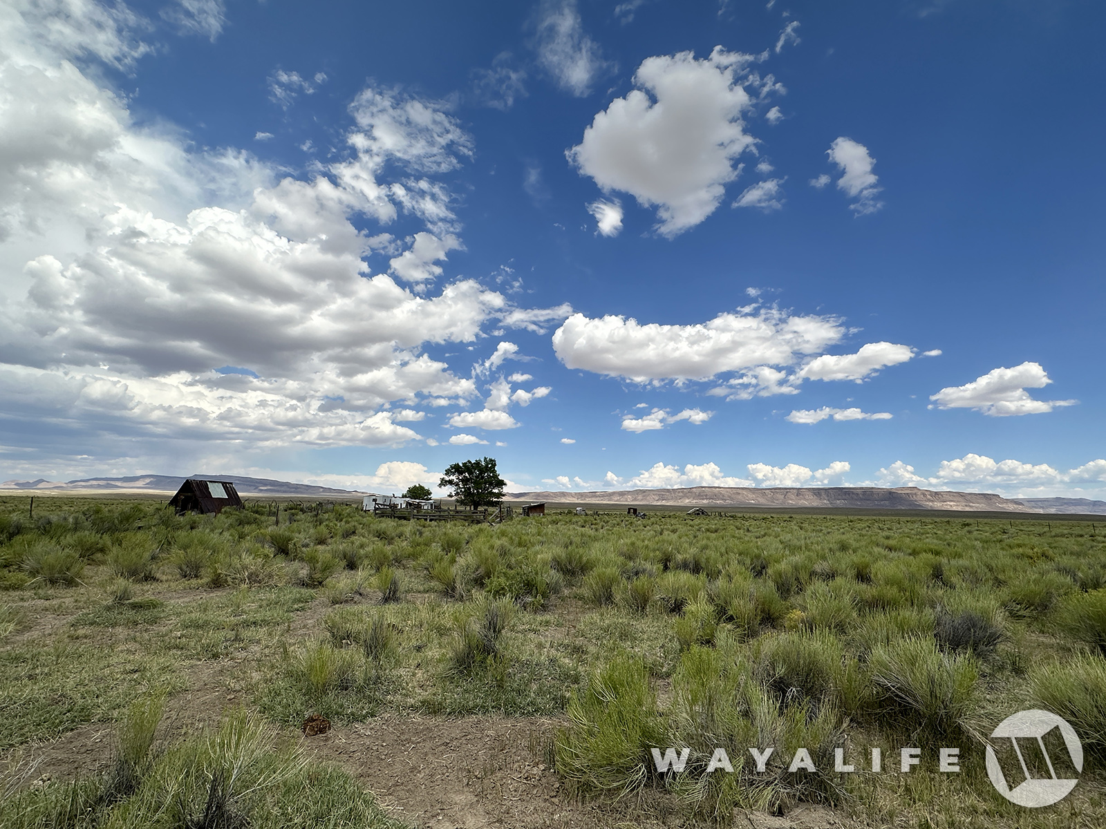
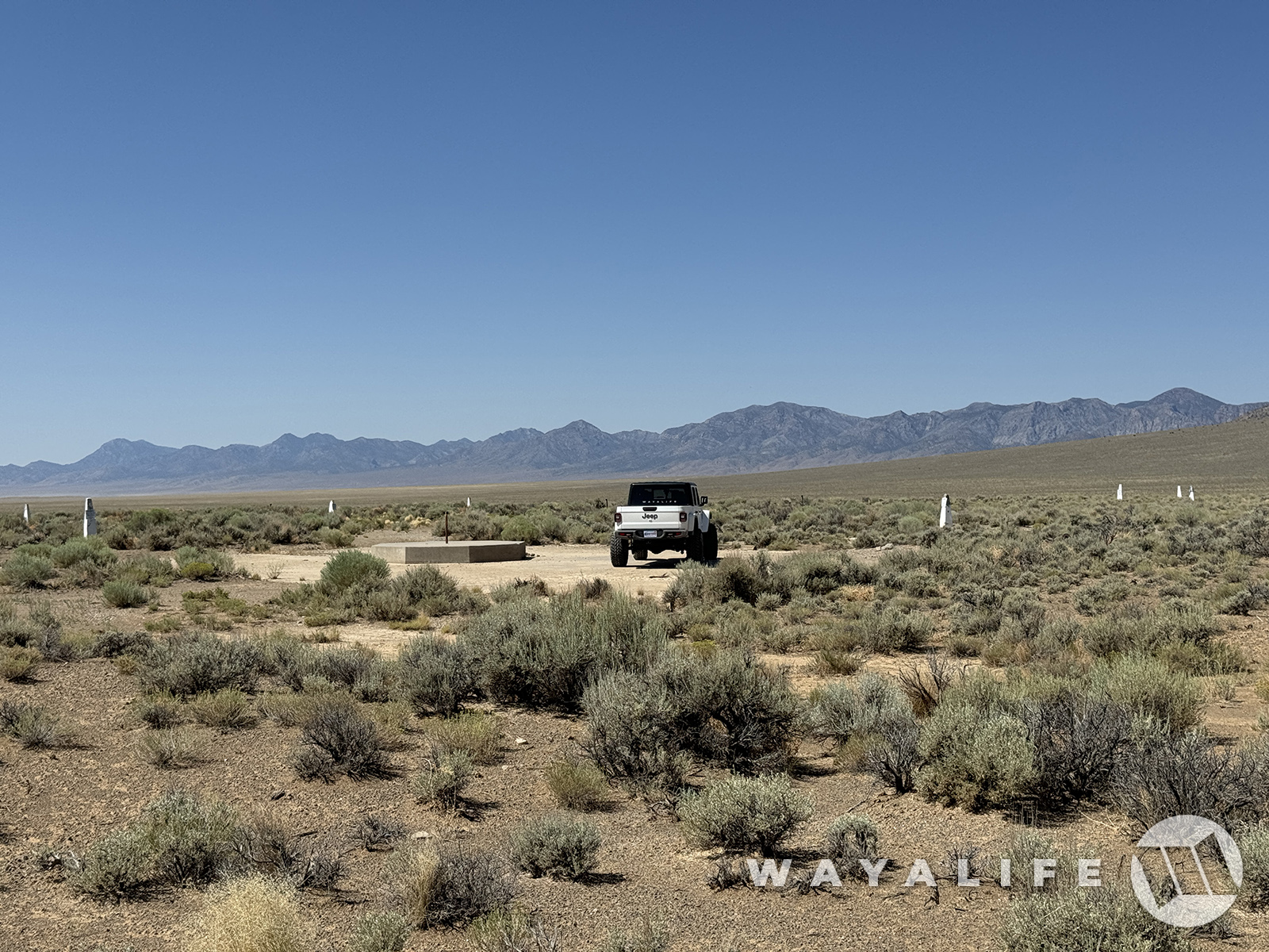
After a nice long drive across across a beautiful valley far from civilization, we arrived at our first destination of the day, the Project Adagio test site located in the CNTA or Central Nevada Test Area.
20240726085901-5d4d20c4.jpg

20240726100344-3947a45f.jpg

20240726100359-80ee2eae.jpg

20240726085823-75390bb3.jpg


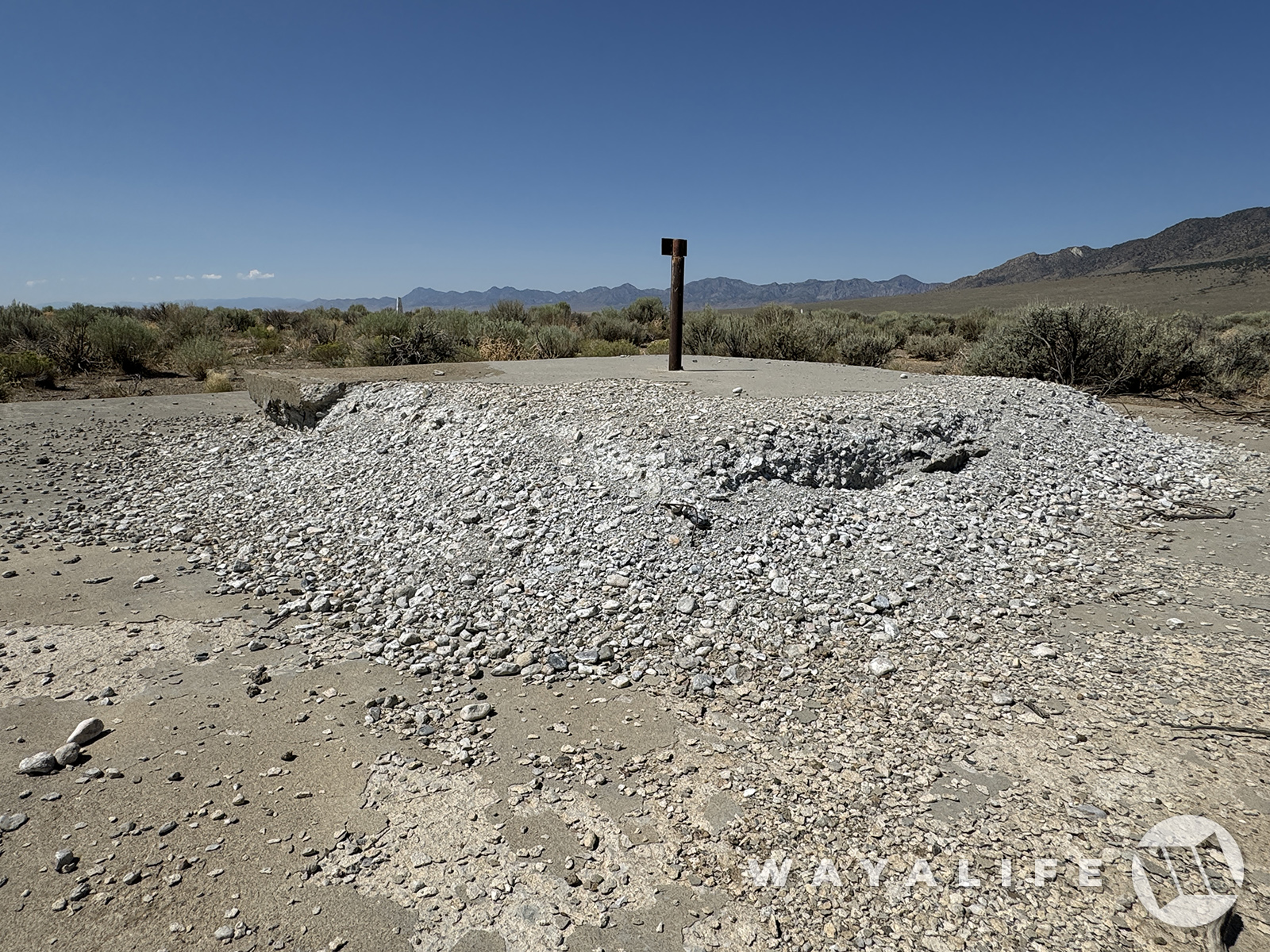
Unlike the better known NTS or Nevada Test Site that is located just 90 miles north of Las Vegas and home to 928 nuclear tests (100 of them being atmospheric), a lesser known CNTA was developed about halfway between Tonopah and Eureka and with the purpose of serving as a supplemental nuclear proving ground.
20240726085909-e5982518.jpg

20240726100341-fe2e5257.jpg

20240726100339-17596125.jpg
20240726085809-bcc88b05.jpg
20240726100345-8777936c.jpg

20240726100354-09c5e5fe.jpg

20240728120710-6b75df36.jpg

20240726100404-ac1a6357.jpg


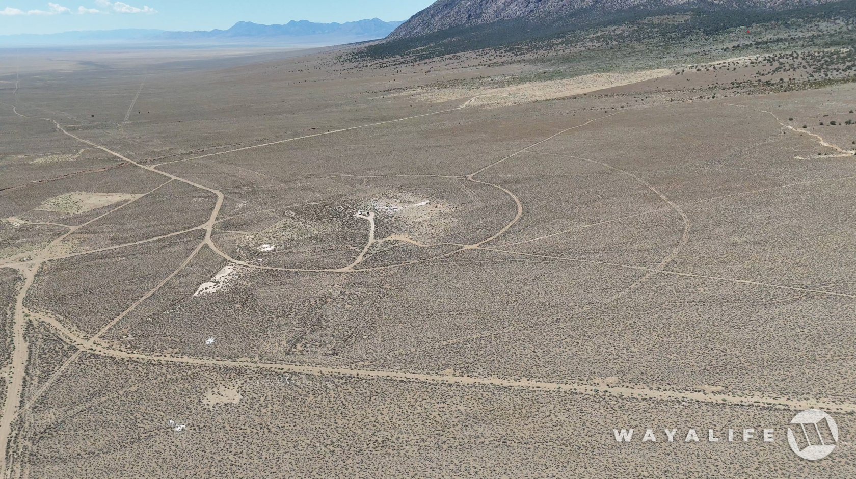
Here's a shot of what Project Adagio looked like back in the late 1960s as they were preparing for the test.
cnta_jw01.jpg

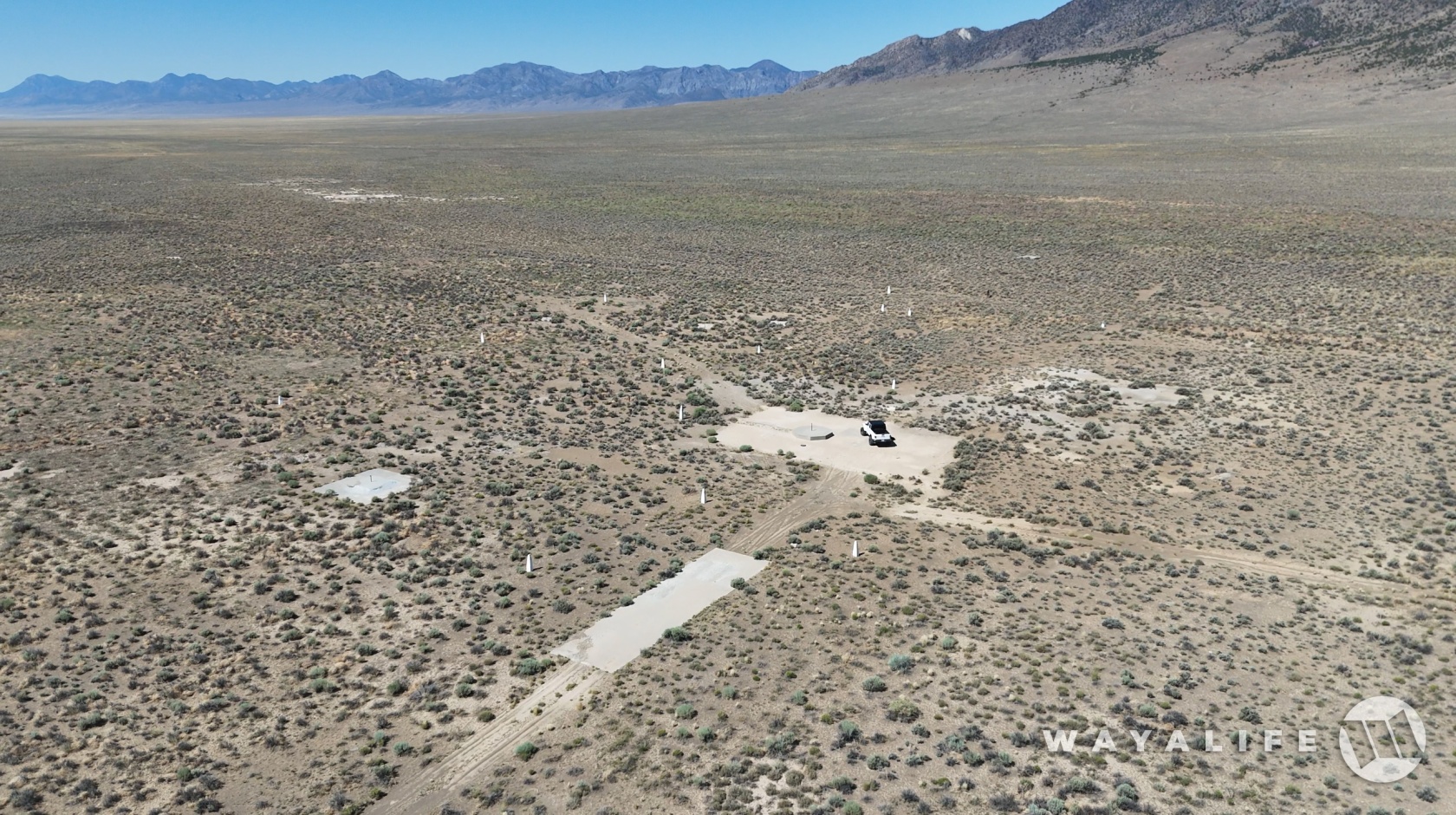
And here's what it looks like today.
20240726142210-8ffb92b9-xx.jpg

20240726142209-bb51922b-xx.jpg

i.php

20240726142212-7fa47ff2-xx.jpg


Project Adagio was slated to be the 2nd of 3 tests performed at the CNTA and with a 3-4 megaton device but it ultimately cancelled.
 
Back in our Jeep and continuing our trip to the north, we soon approached our second destination of the day.
20240726085916-5e7fb388.jpg


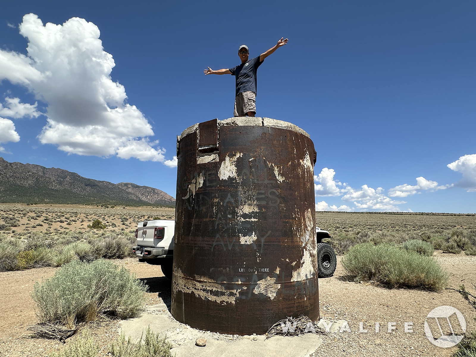
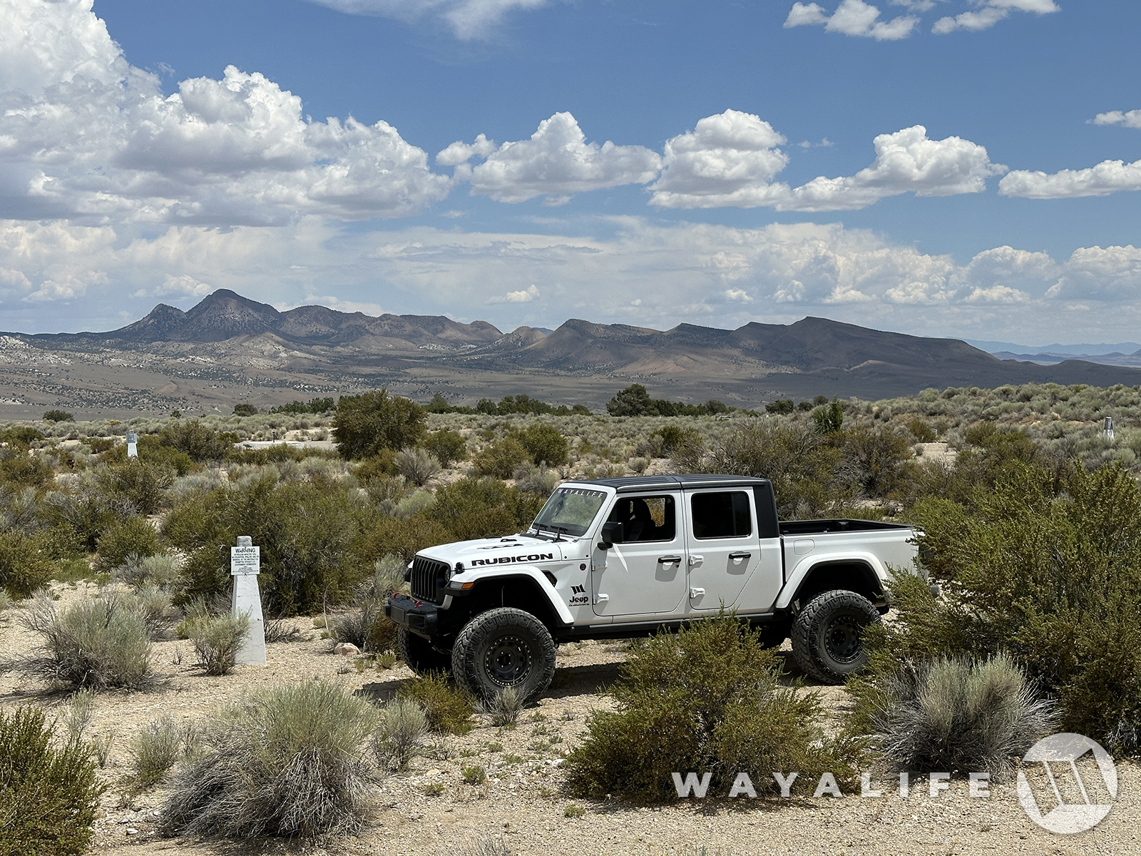
And here we are, Project Faultless.
20240726100429-b0e3da9a.jpg

20240726100408-bdd61d90.jpg


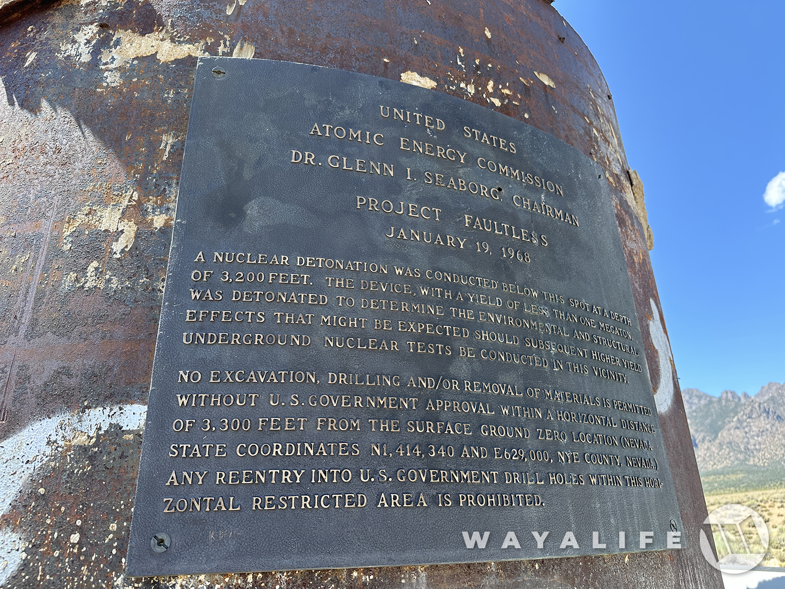
Before the CNTA could be granted full status as a Proving Ground, the AEC or Atomic Energy Commission needed to determine how the geology in the area would respond to explosions of the size they were hoping to conduct. Needless to say, on January 19, 1968, a nuclear device of less than one megaton was detonated 3,200 feet below this point and it was designed to serve as a calibration test to help determine if subsequent devices of a higher yield could be done.
i.php

20240726142215-d18488a7-xx.jpg

i.php


And, here's a video clip of what observers of the test saw.

Quite literally, the explosion caused the earth to lift 15 feet above ground zero and collapse as much as 10 feet in places. In fact, the top of this drill pipe that I'm standing on is where the ground level used to be.
20240726100423-a4264d33.jpg


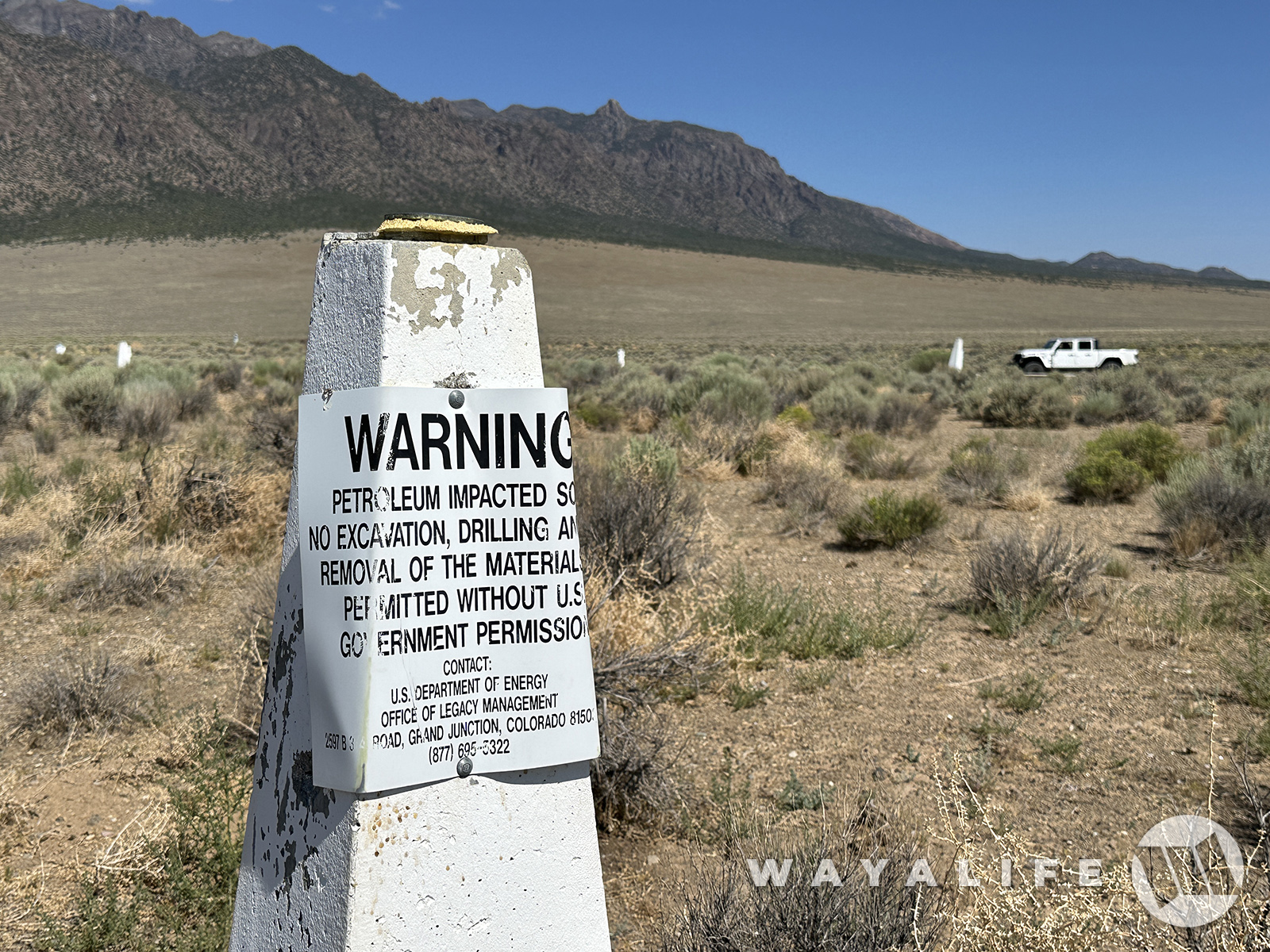
Needless to say, there are warnings all over the place and on this bronze plaque that let you know it may not be such a good idea to excavate, drill or remove any material from the site.
20240726100415-9af65338.jpg


For better or for worse, the geological damage seen after the calibration test proved that the area was unsuitable for future tests and all subsequent tests were cancelled.
 
Last edited:
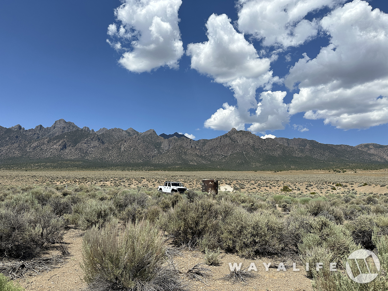
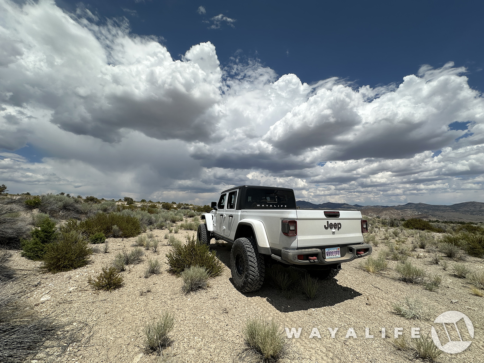
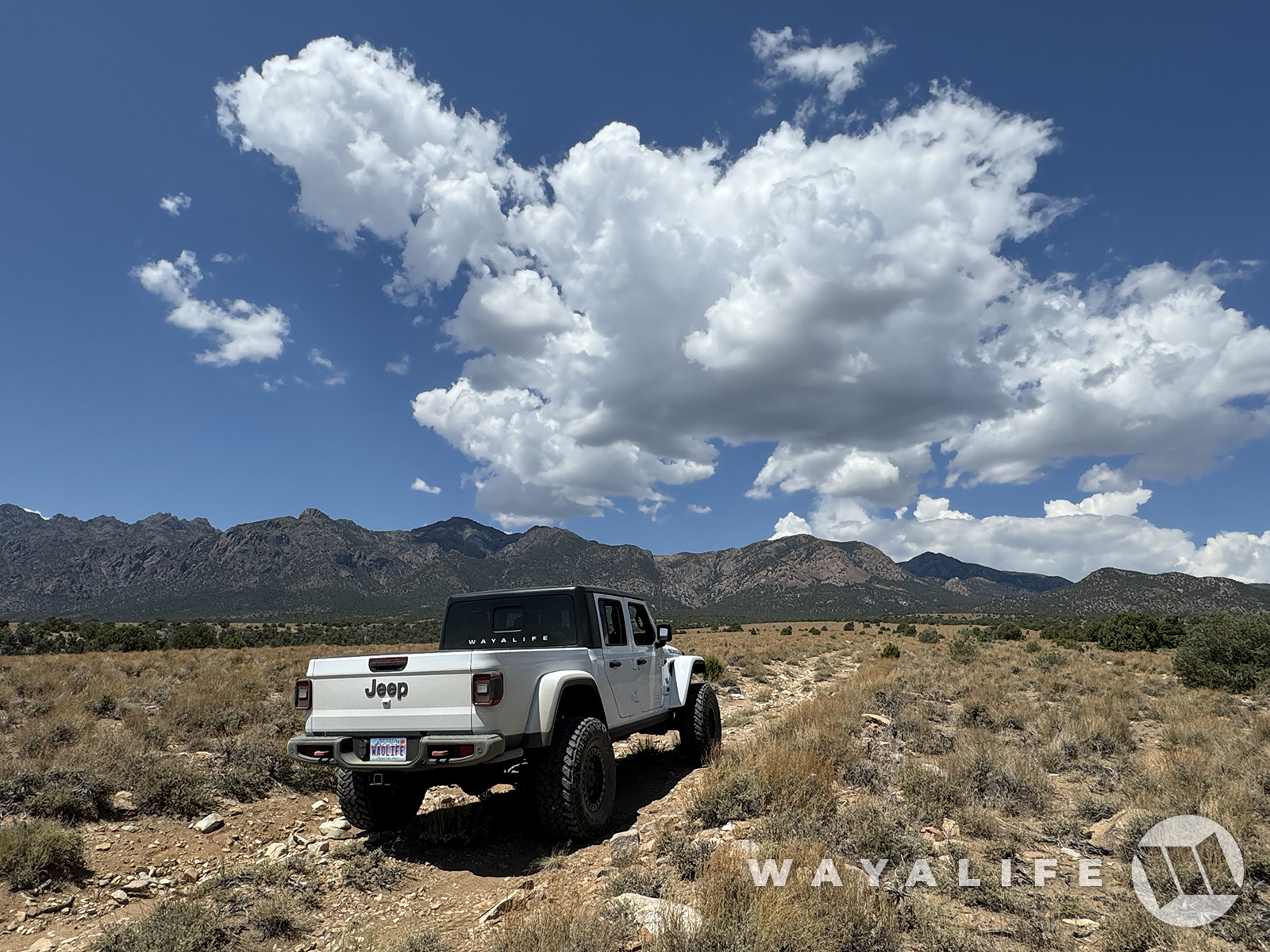
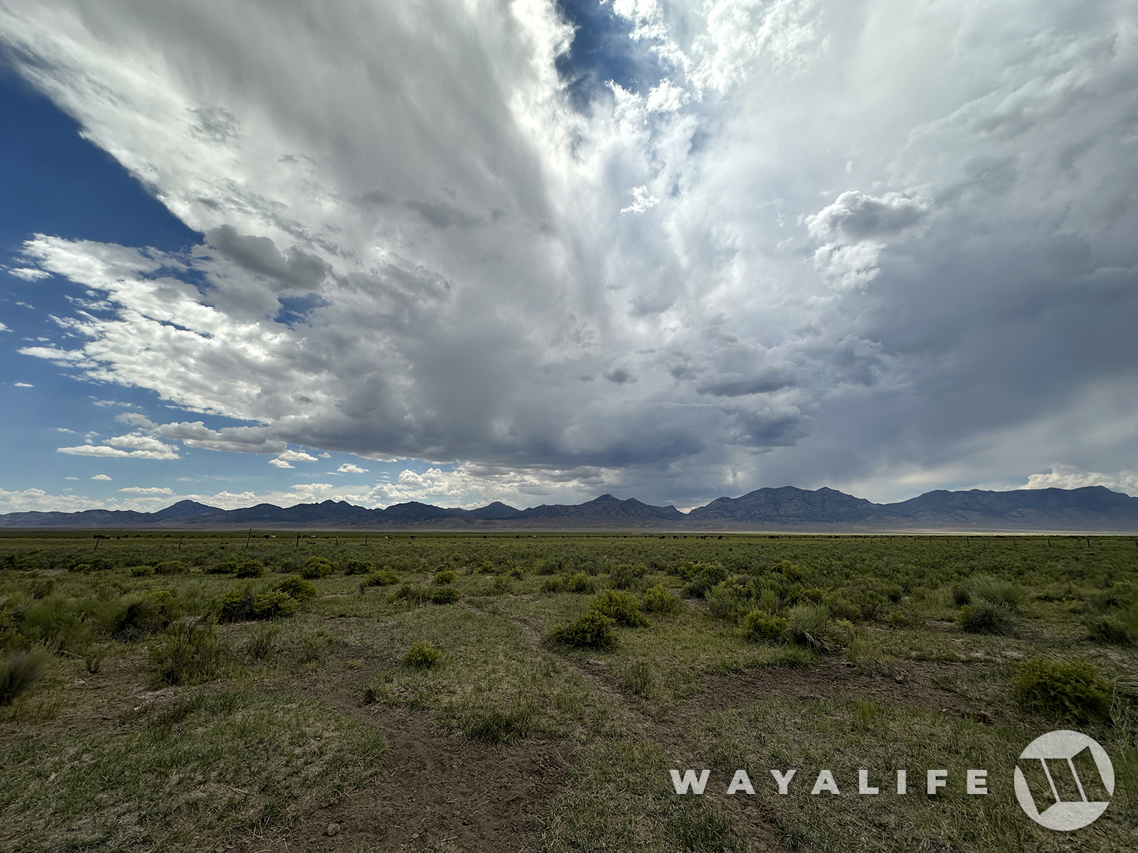
With the clouds rolling in to give the valley we were driving across a truly epic backdrop, we made our way to our 3rd destination of the day.
20240726100521-00cd8b6d.jpg


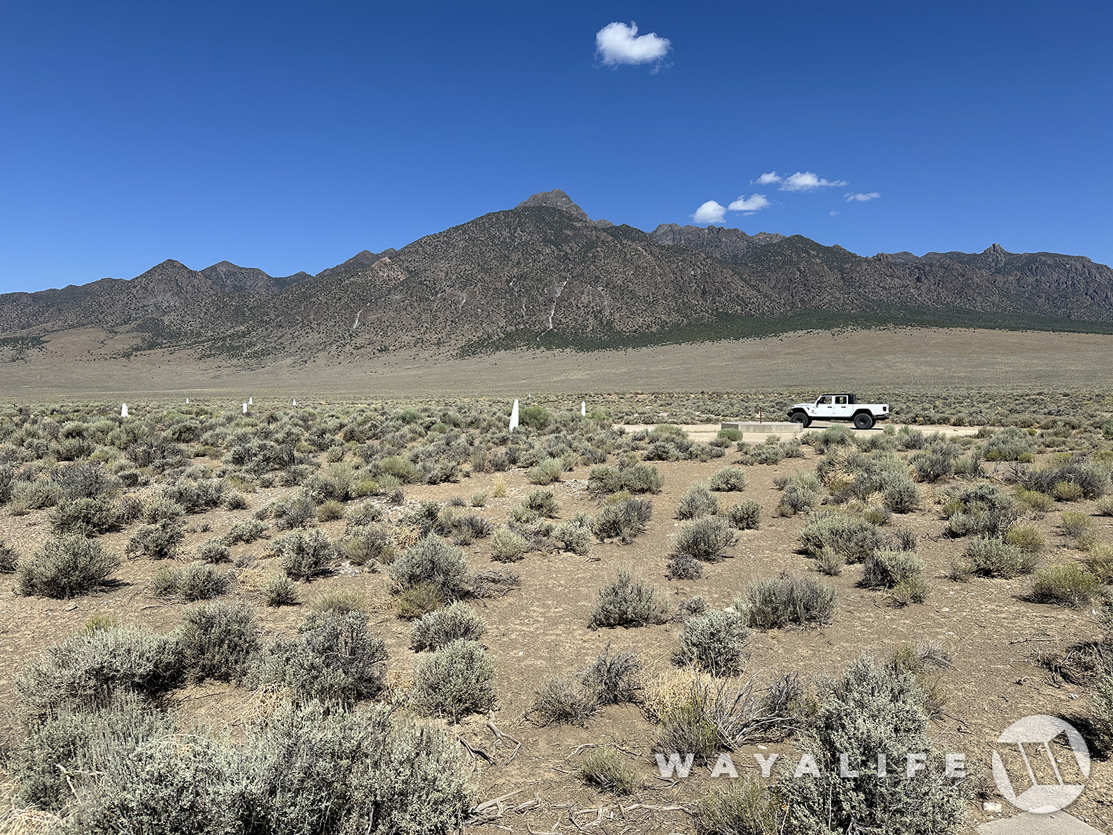
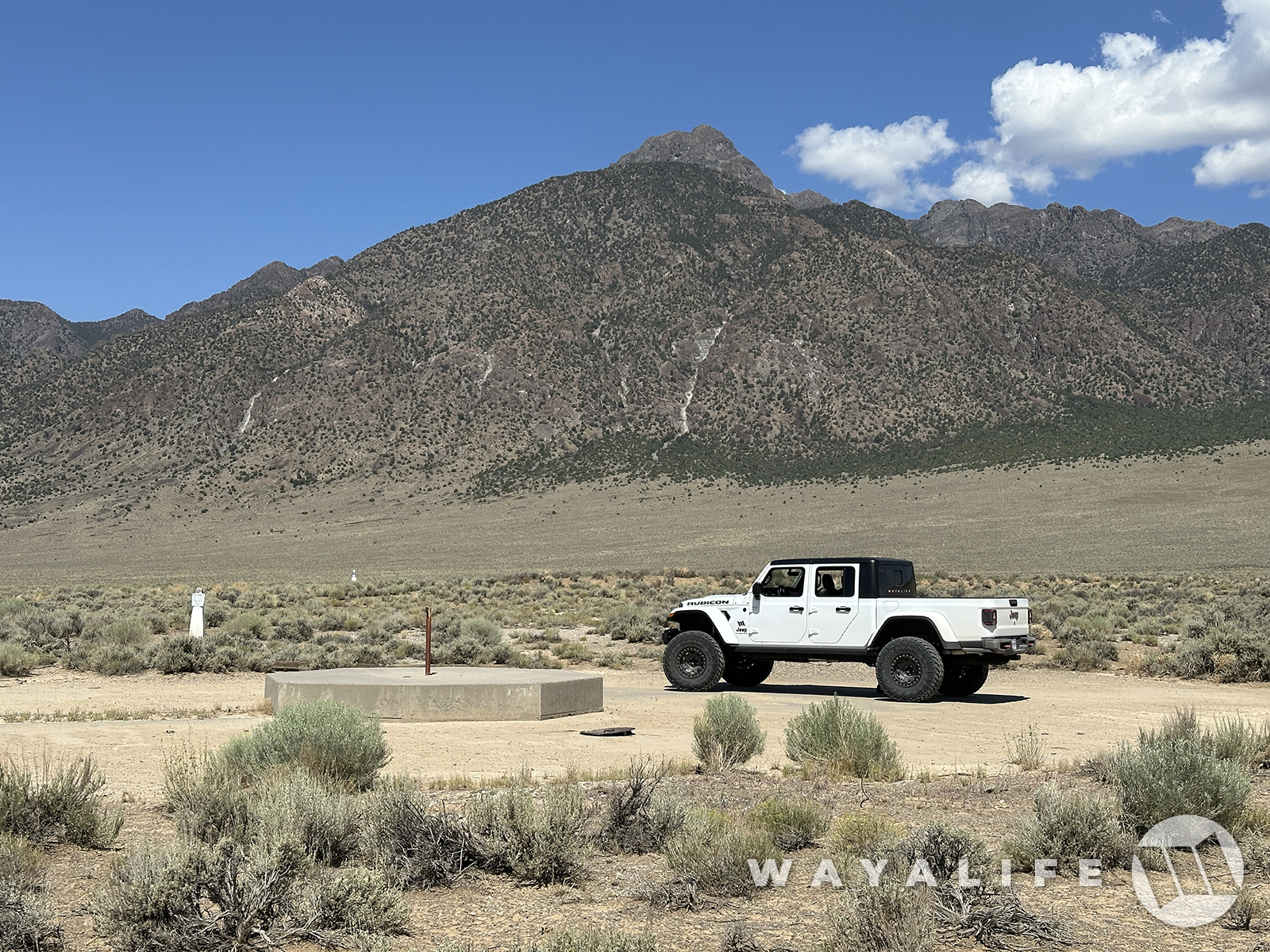
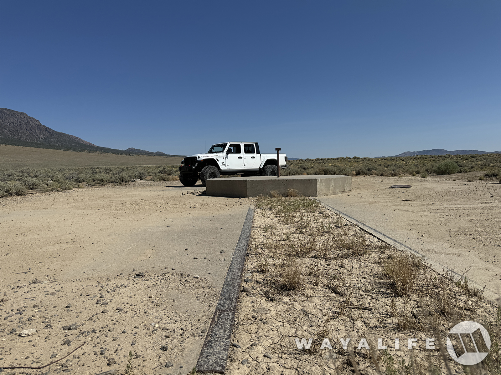
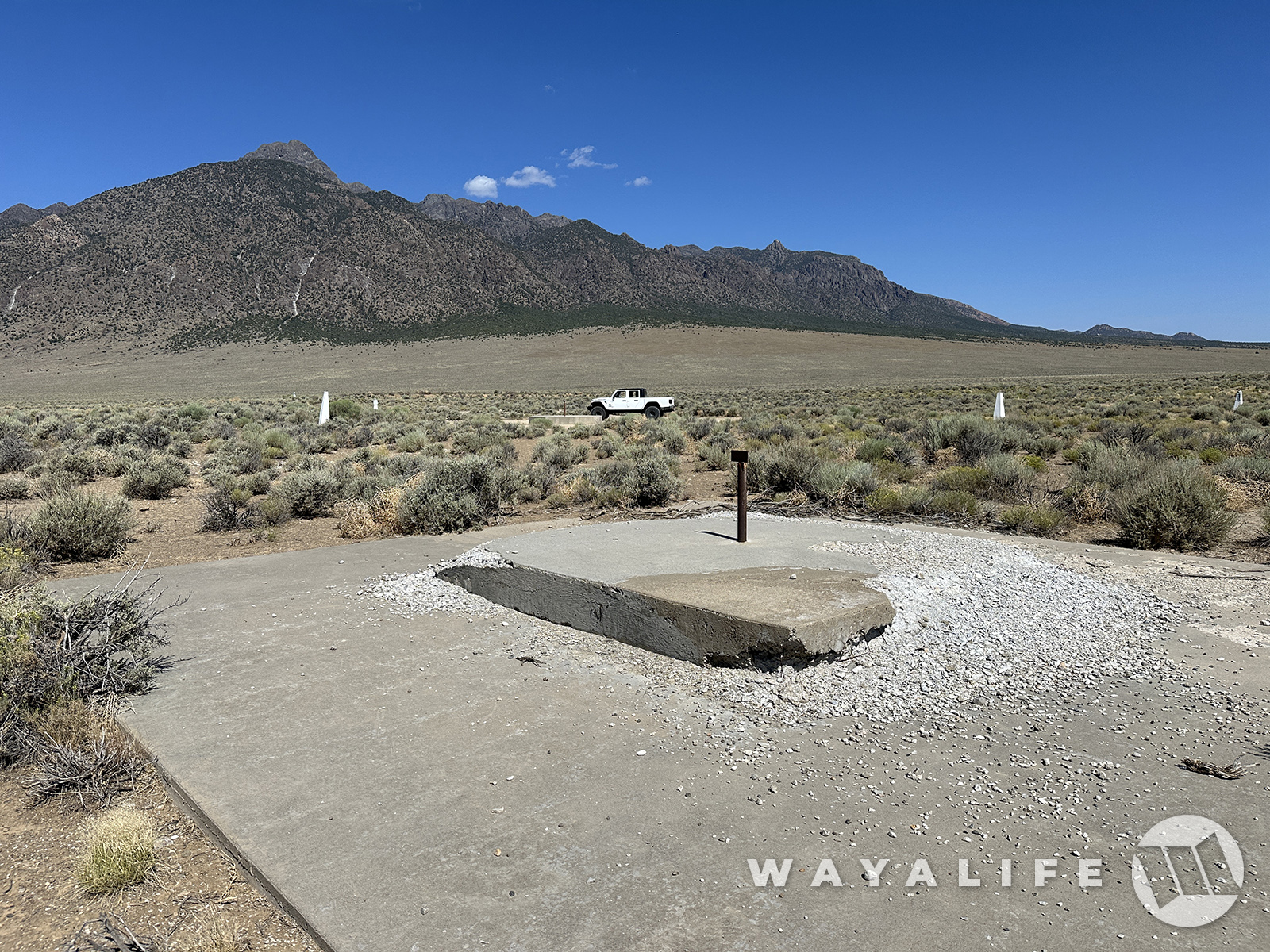
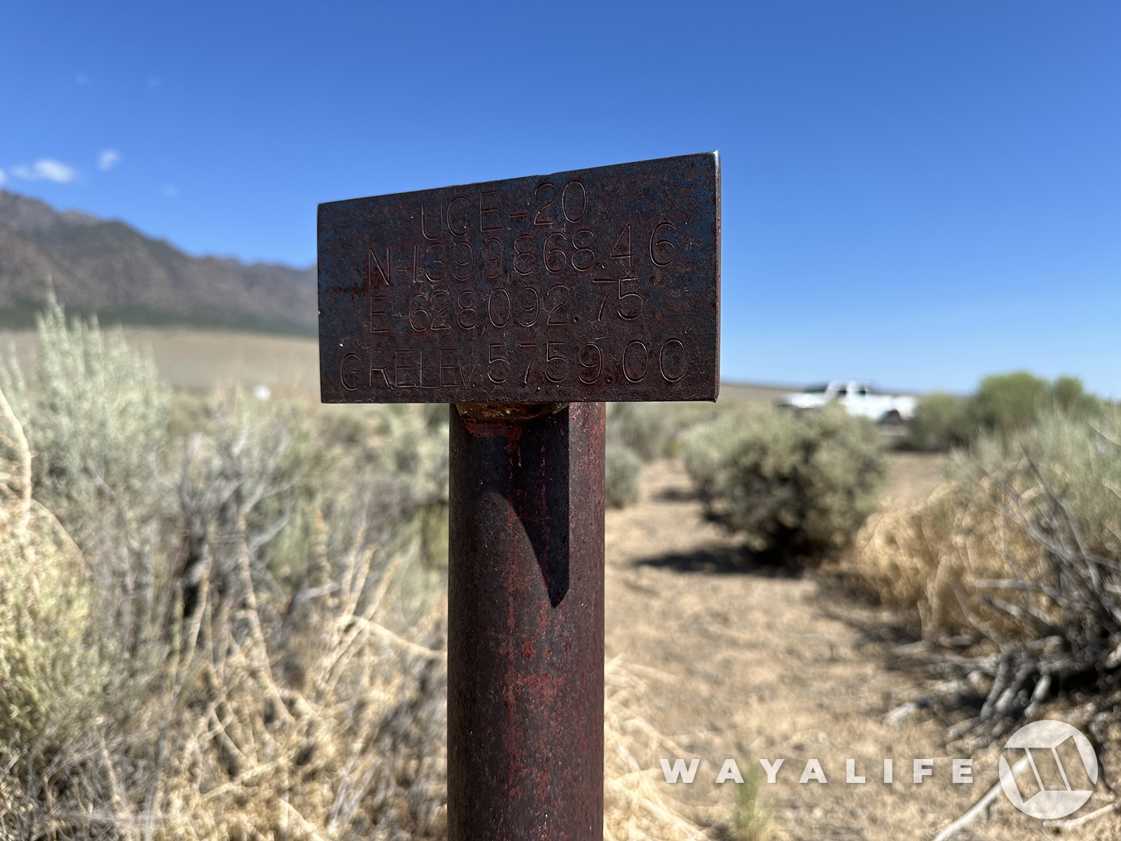
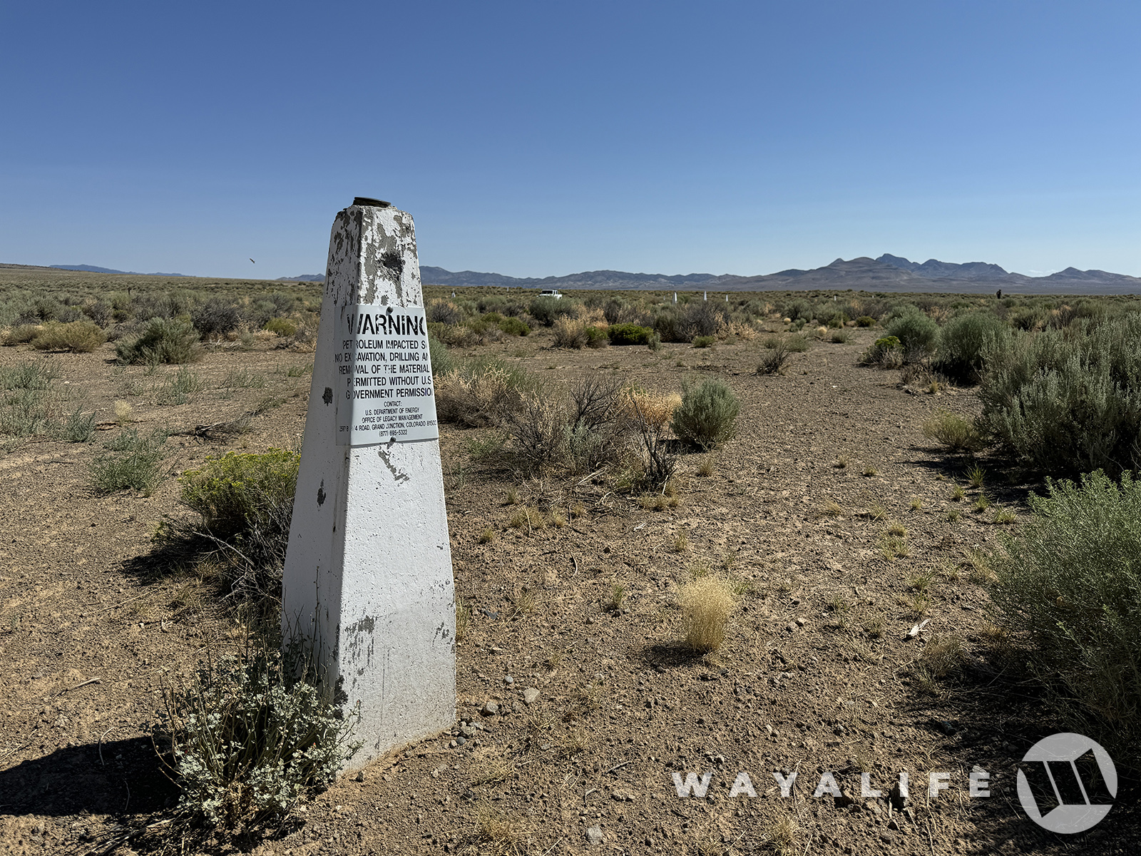
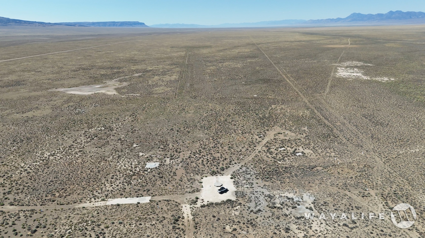
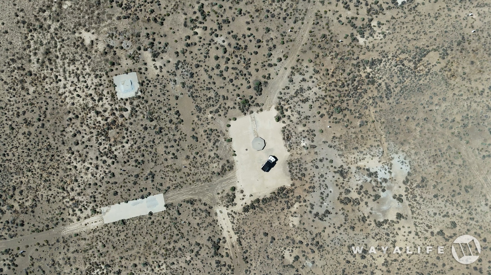
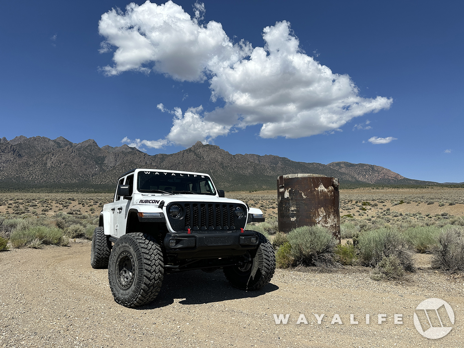
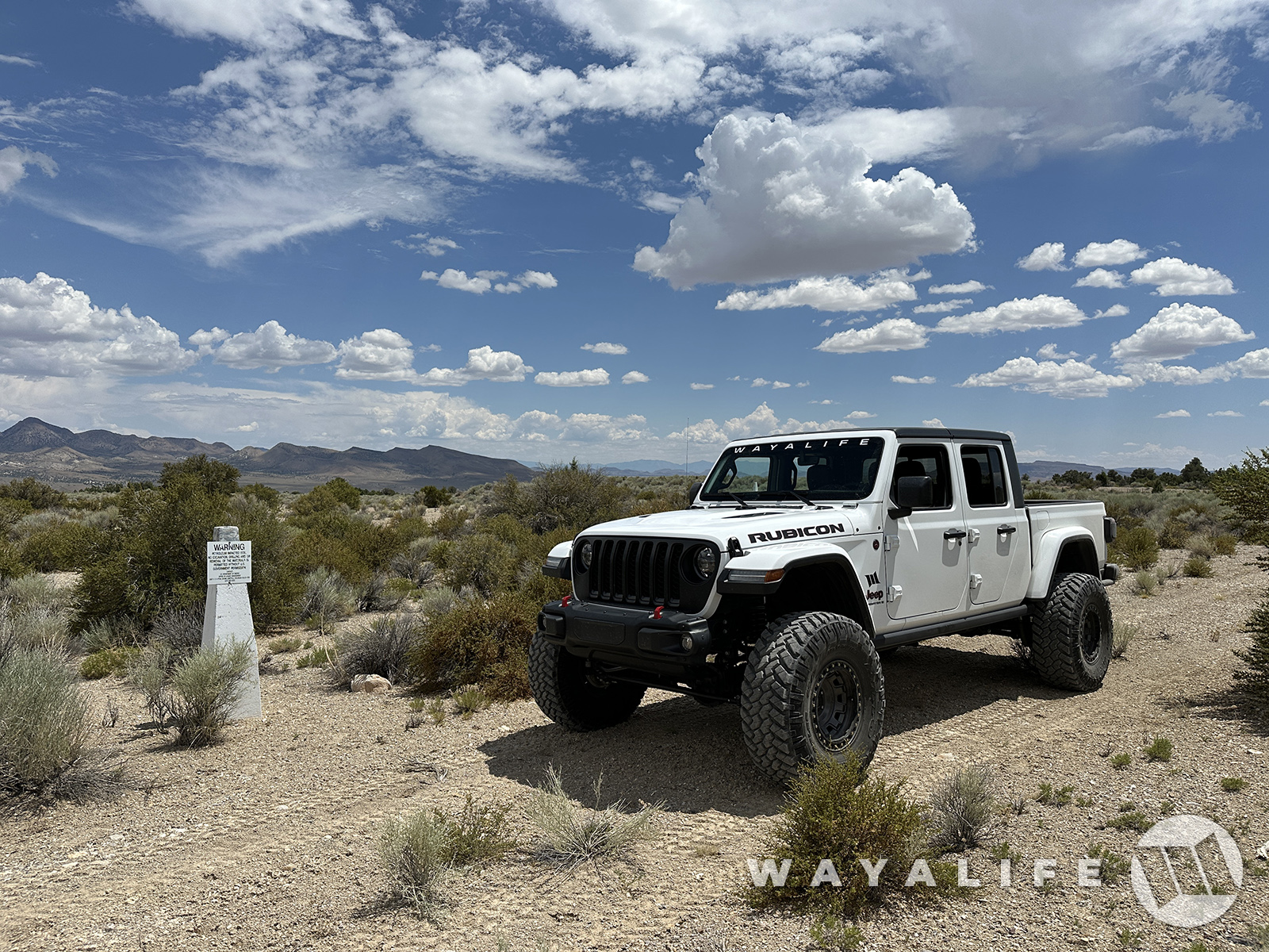
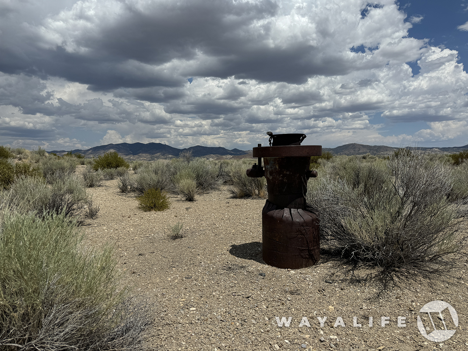
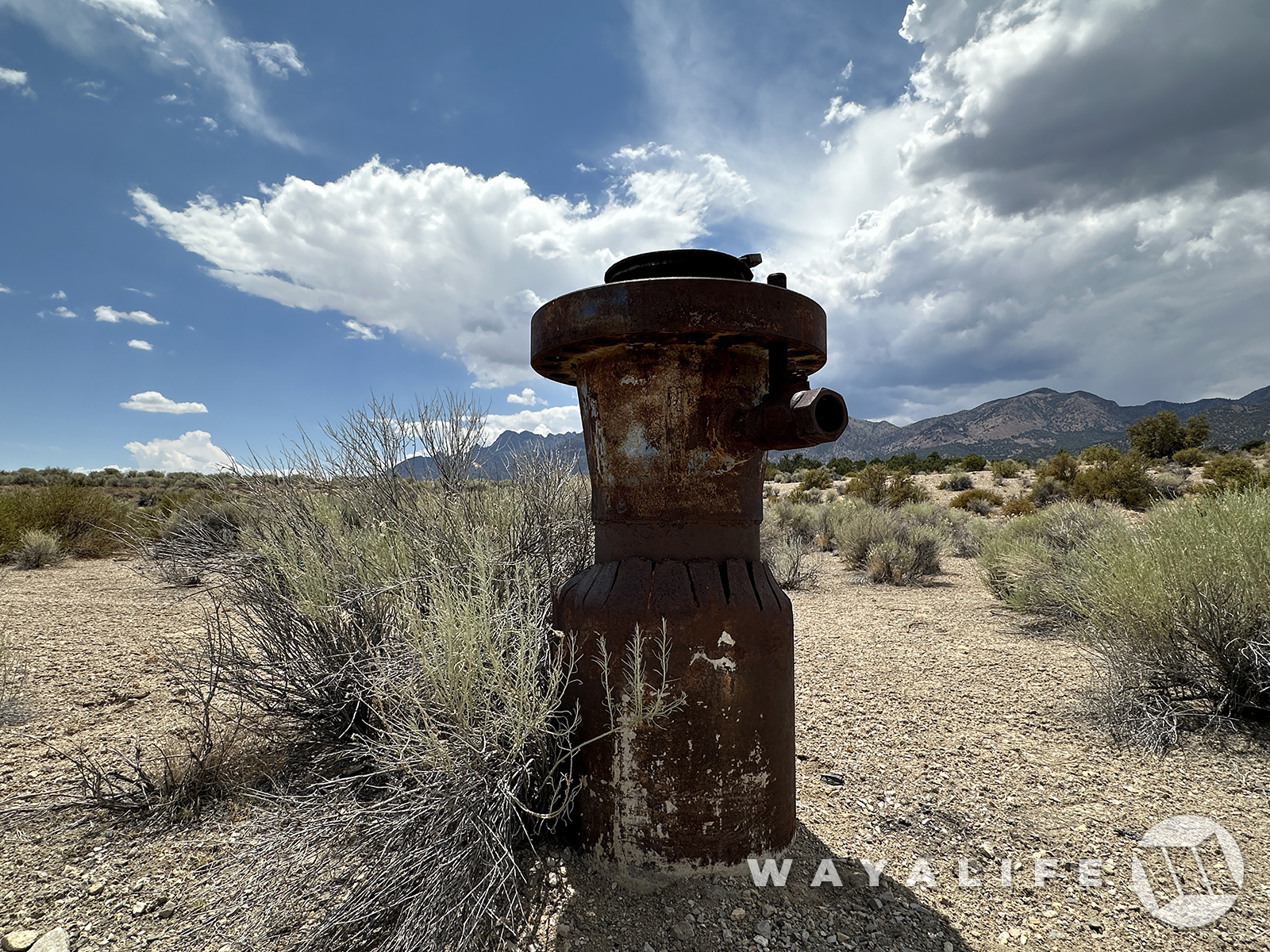
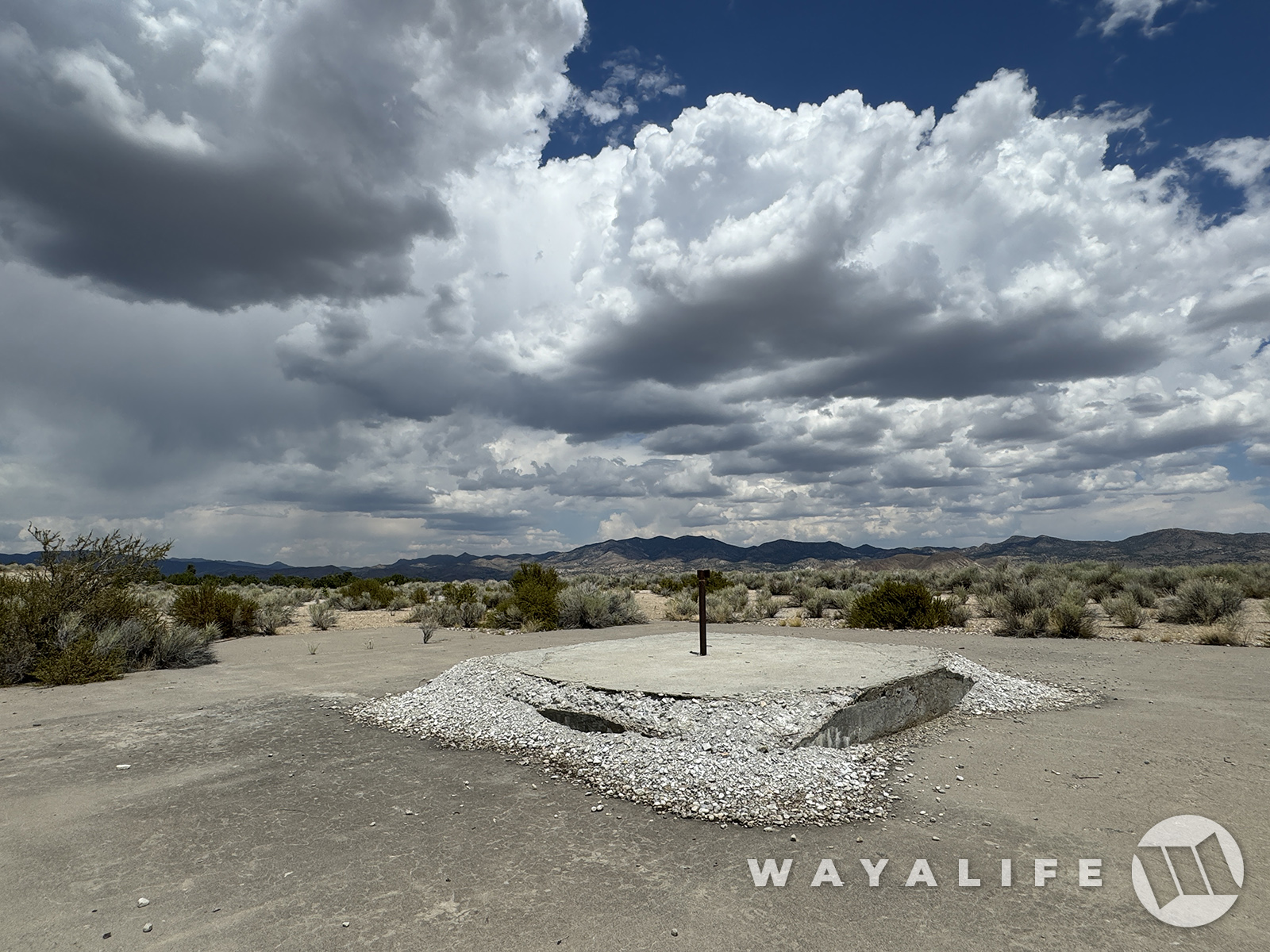
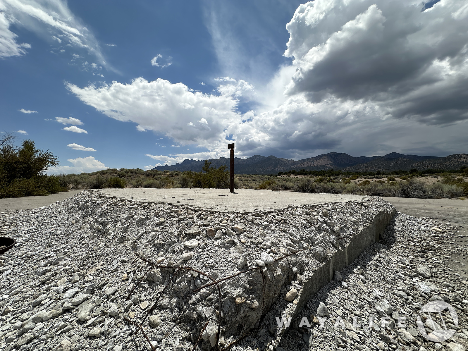
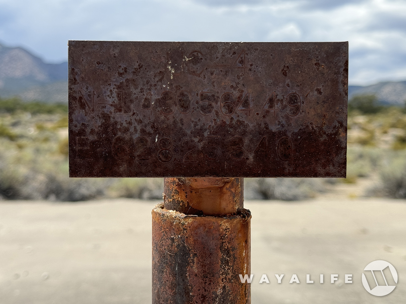
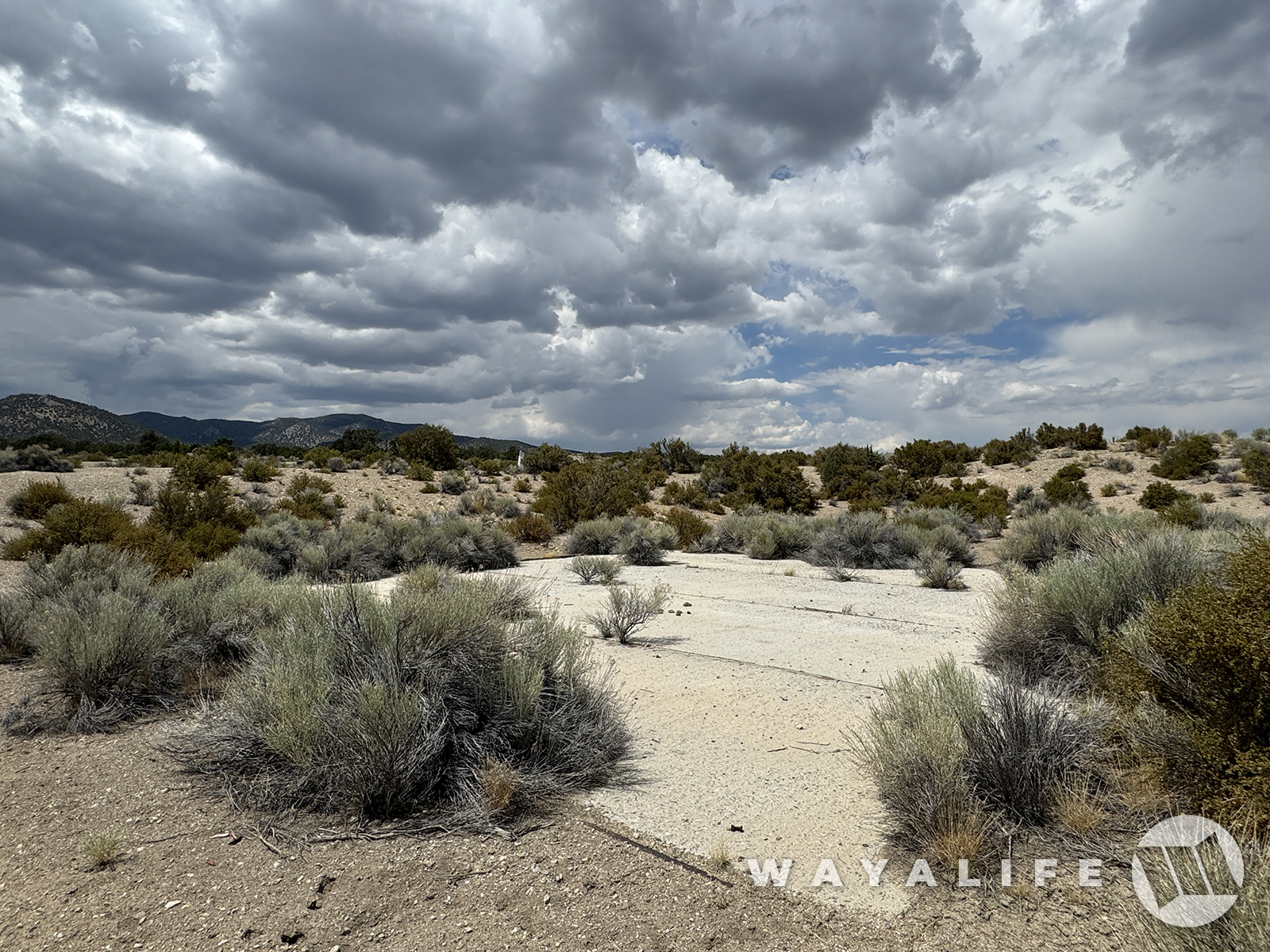
And here we are, the 3rd of the 3 CNTA sites that was slated for testing and the only one to not have a designated code name.
20240726100522-bc4ef1d2.jpg

20240726100522-d7dc1a40.jpg


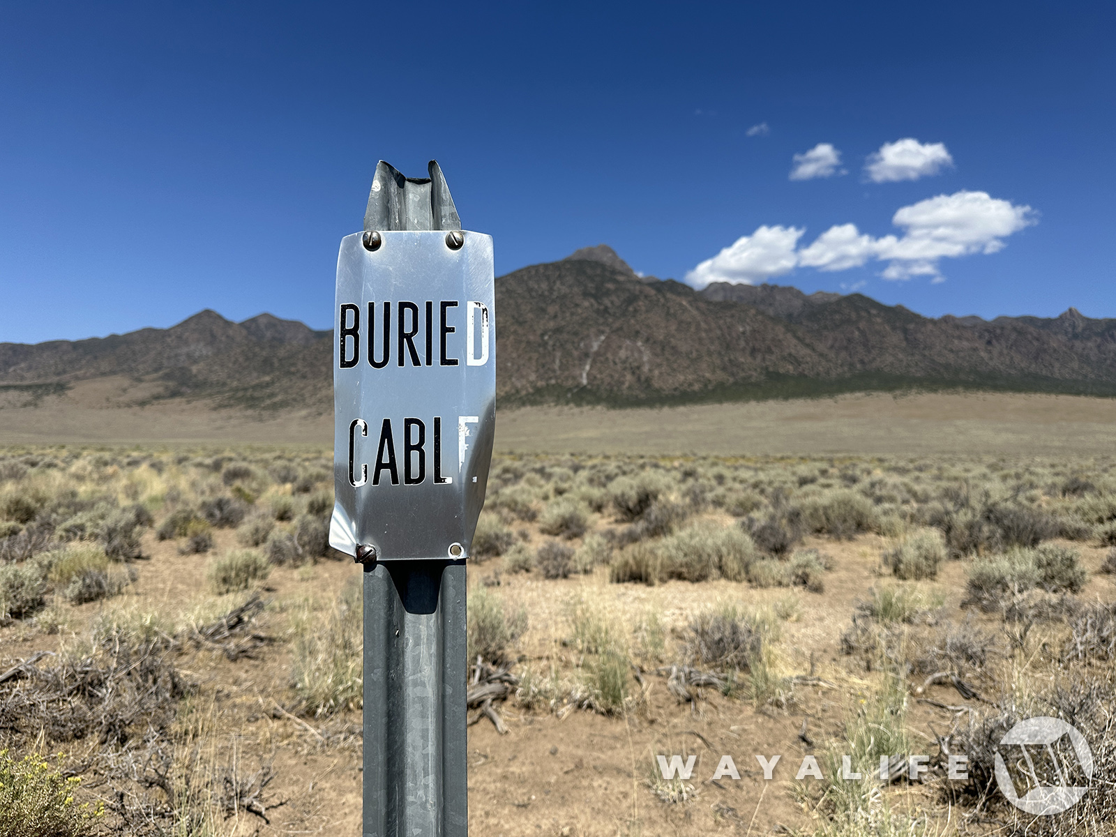
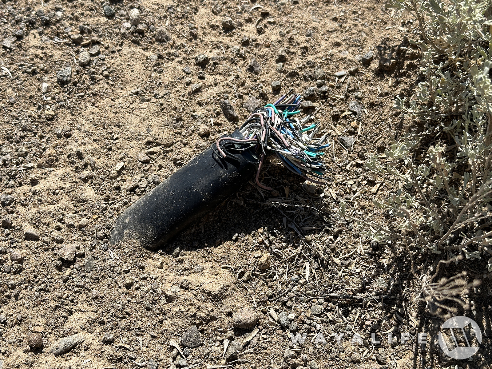
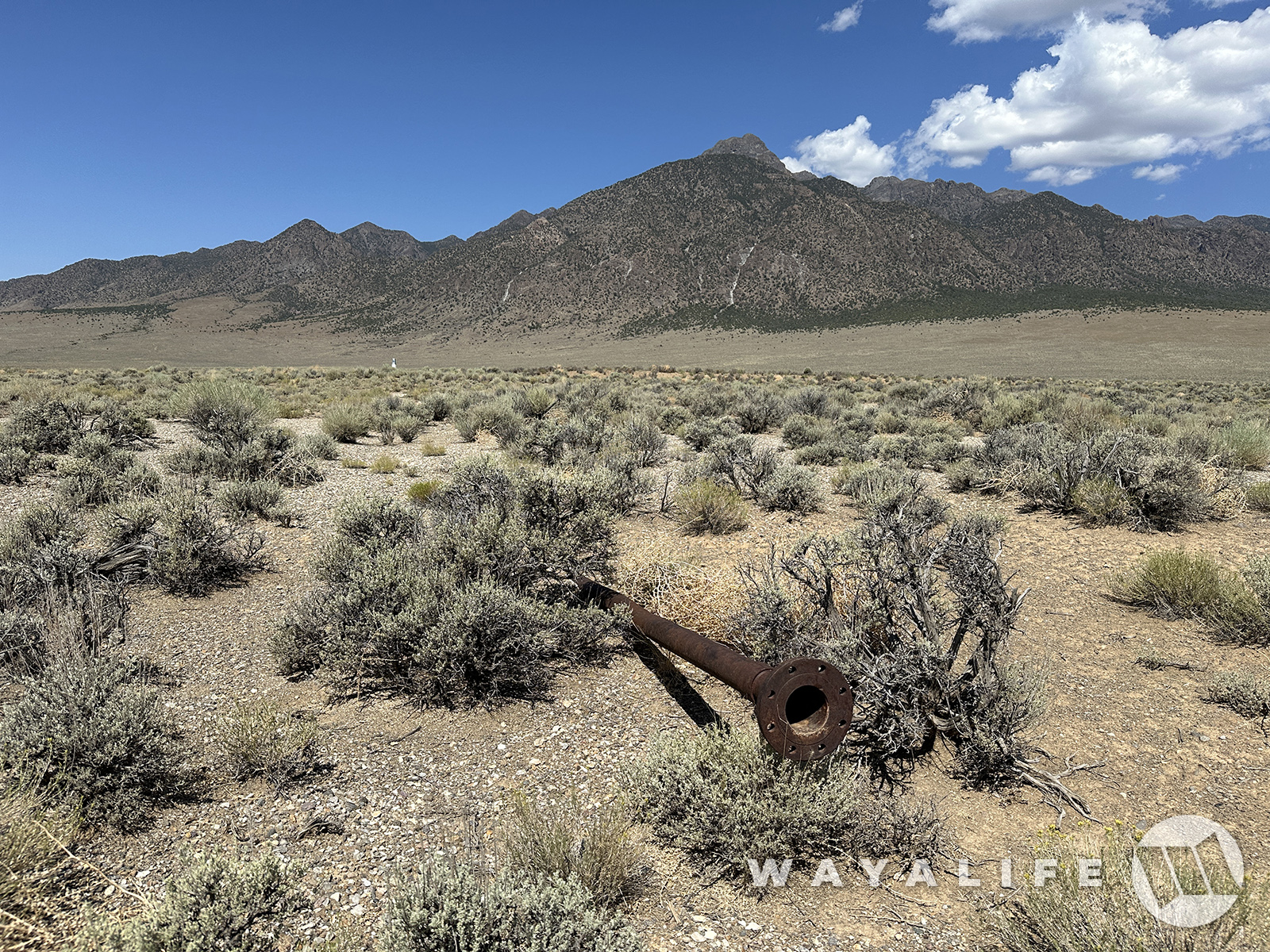
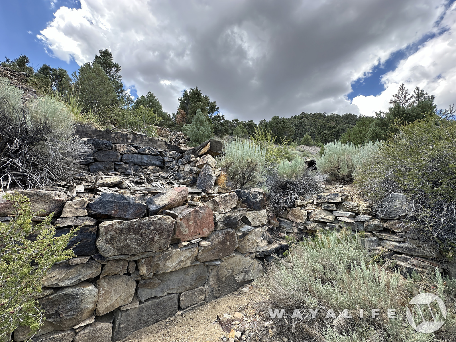
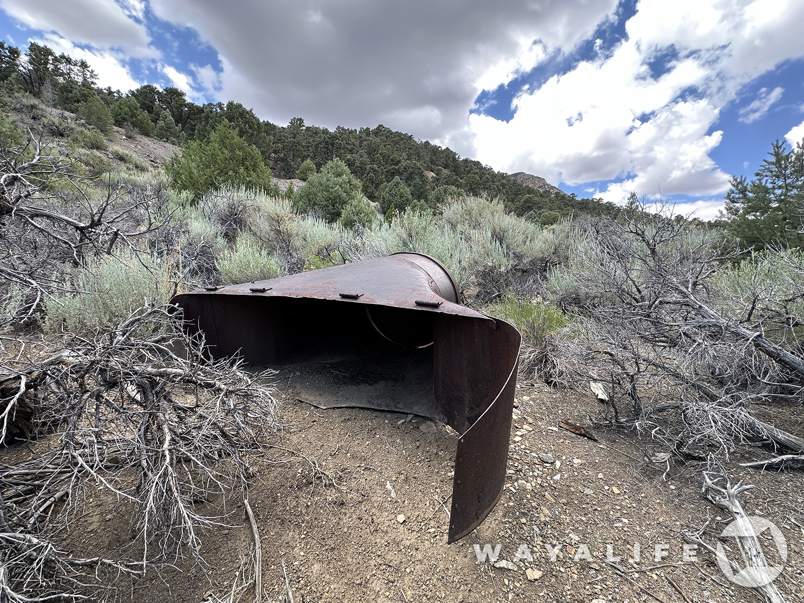
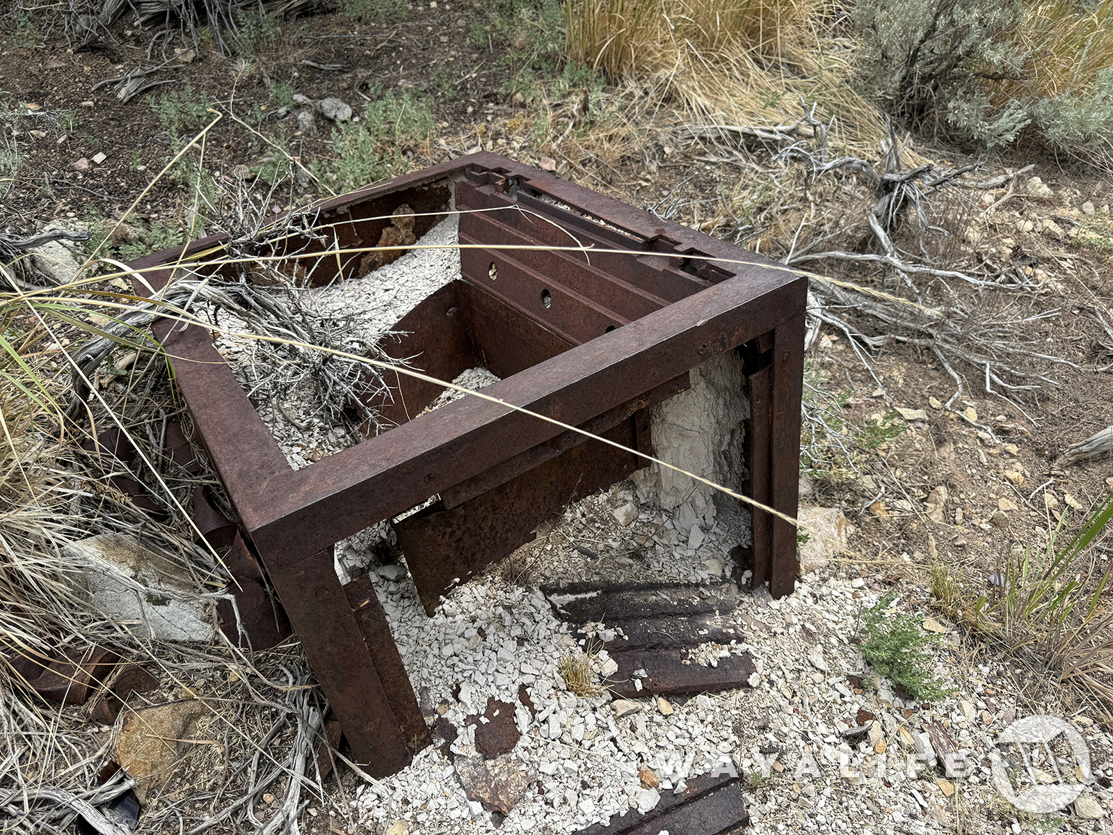
As mentioned, all underground nuclear testing at the CNTA was cancelled after the results from Project Faultless but a few remnants of what was being planned can still be found here today.
20240726085423-121efde7.jpg

20240726100525-1e7468bb.jpg

20240726085428-01d1a038.jpg

20240726100527-5062d381.jpg

20240726085427-f9cfc855.jpg

20240726085429-3023d41f.jpg
 
Of all the places I have explored across the United States, few places are as remote as this and the closest sign of any real civilization is well over 100 miles away. Needless to say, fuel or the lack there of is a legitimate concern and something you do have to be mindful of. And, while the original plan was to head on out of the wilderness, the temptation to keep on exploring was just too great.
20240726085930-f79b0e39.jpg


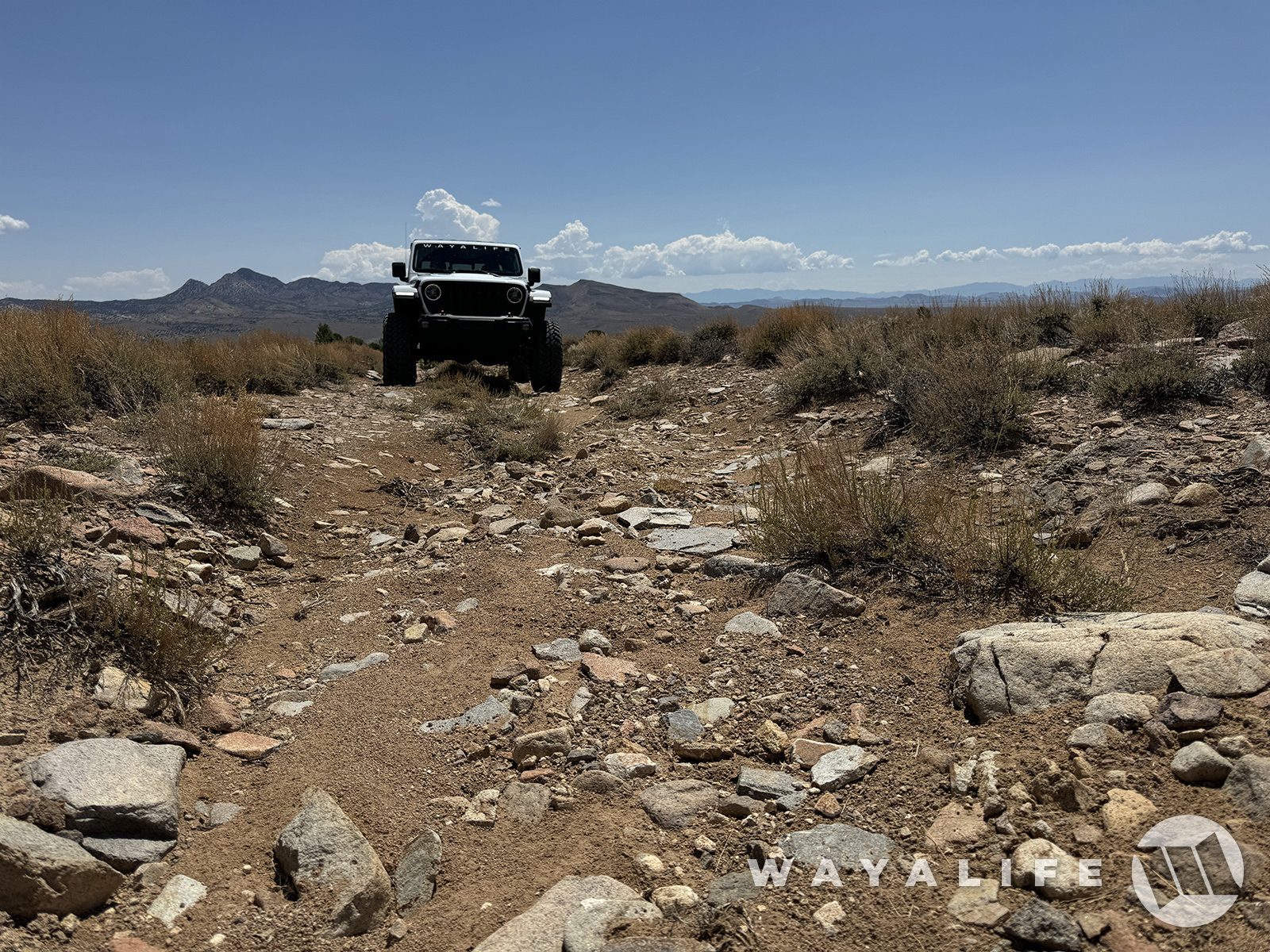
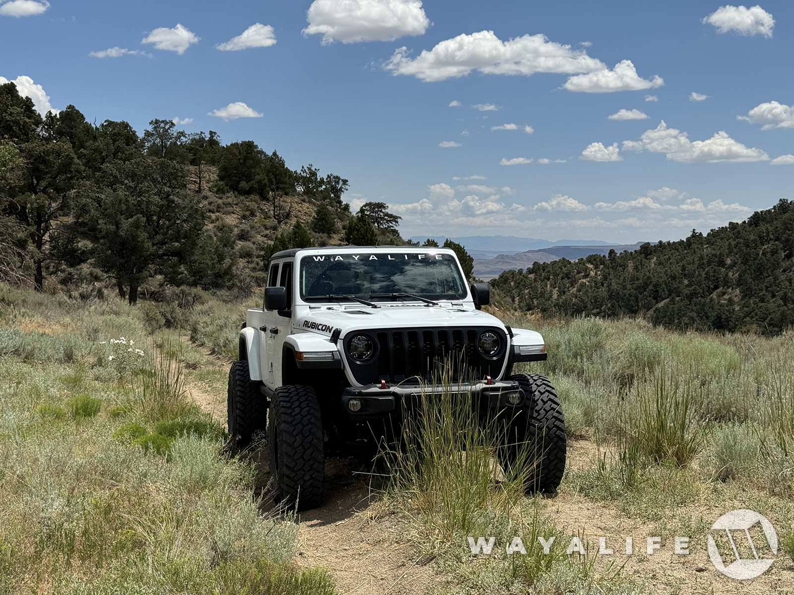
Probably not the smartest thing to be doing but where we wanted to go next was up in the mountains and the road leading there was steep and rubbly.
20240726085936-8bb2a131.jpg


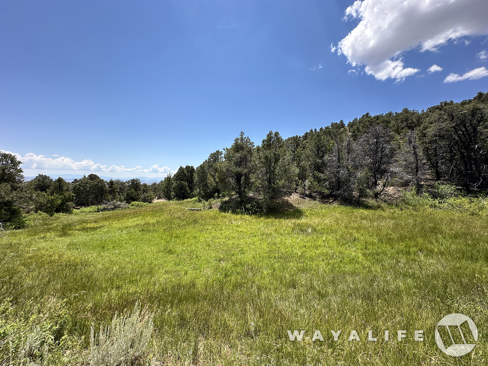
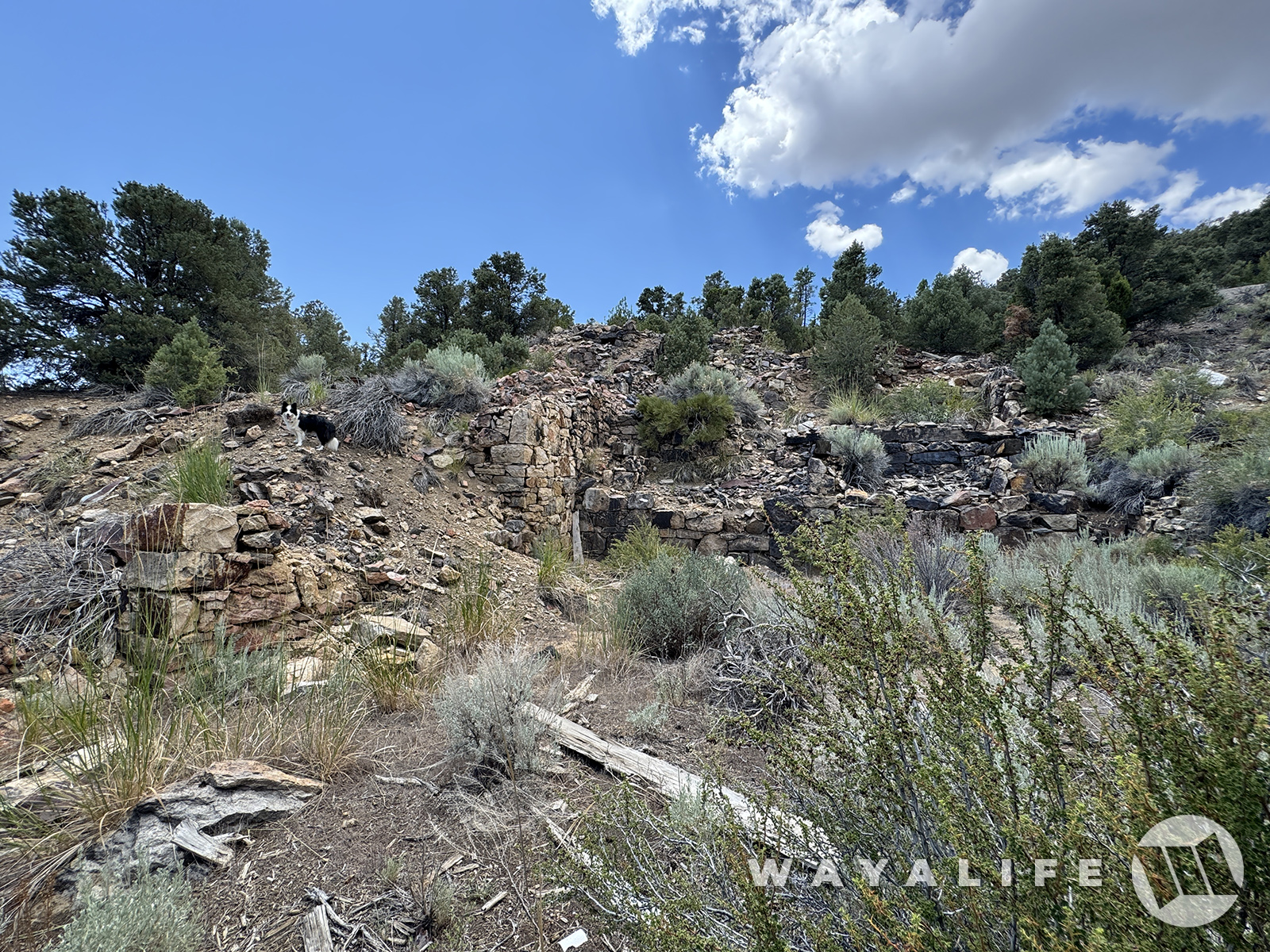
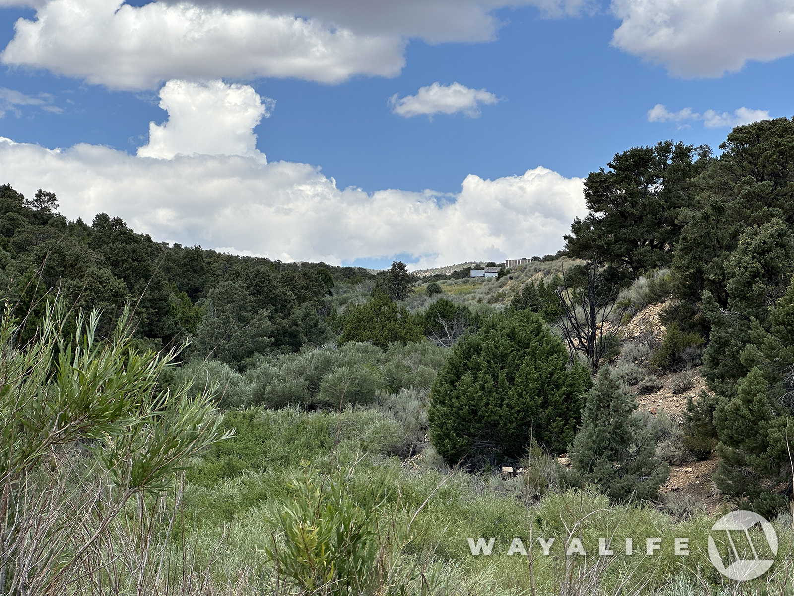
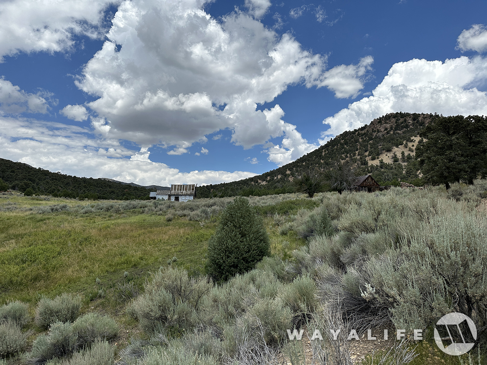
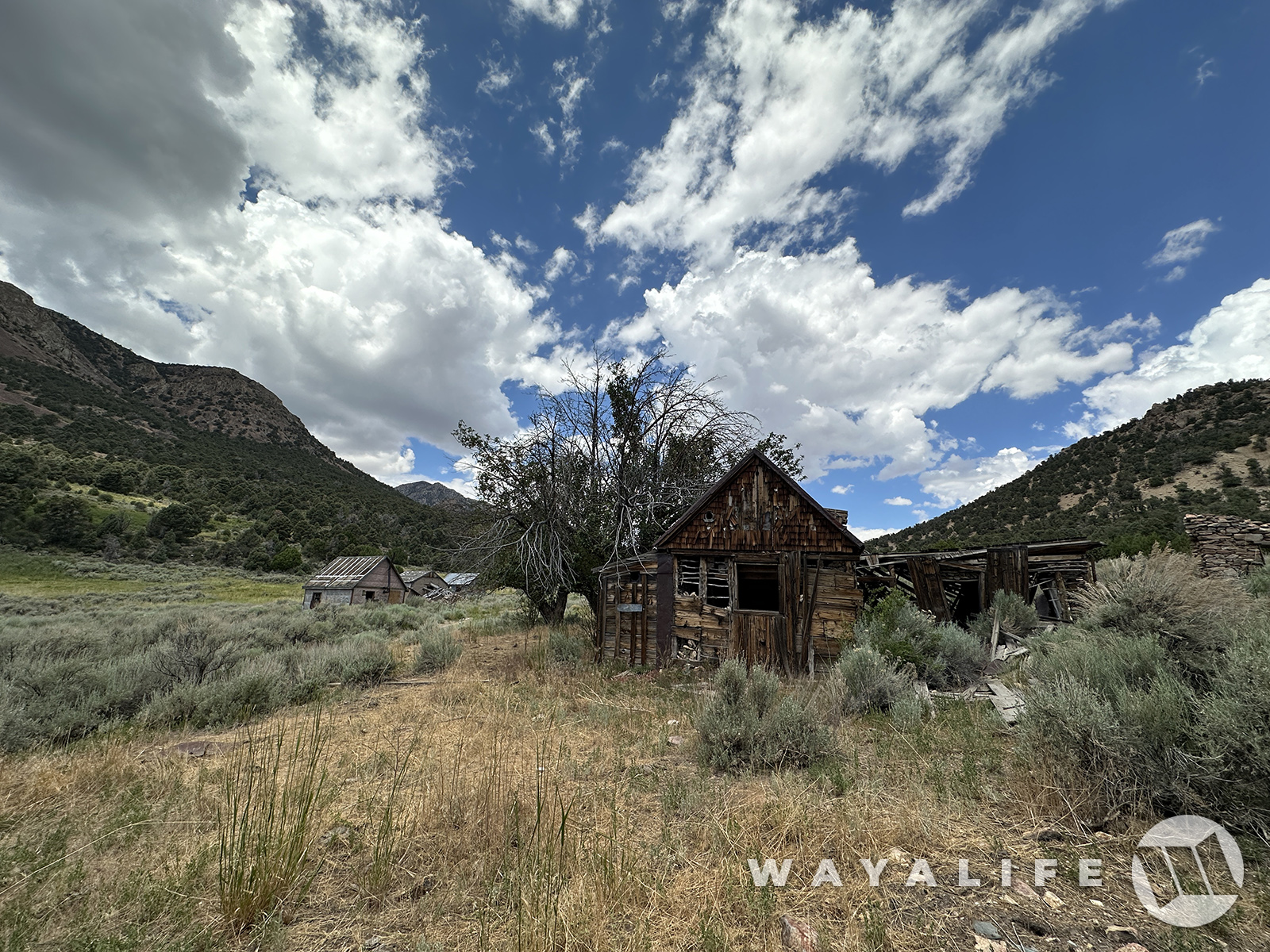
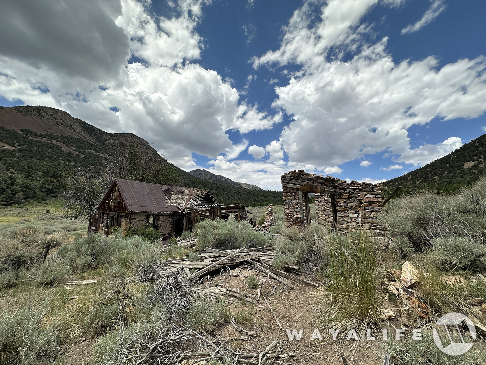
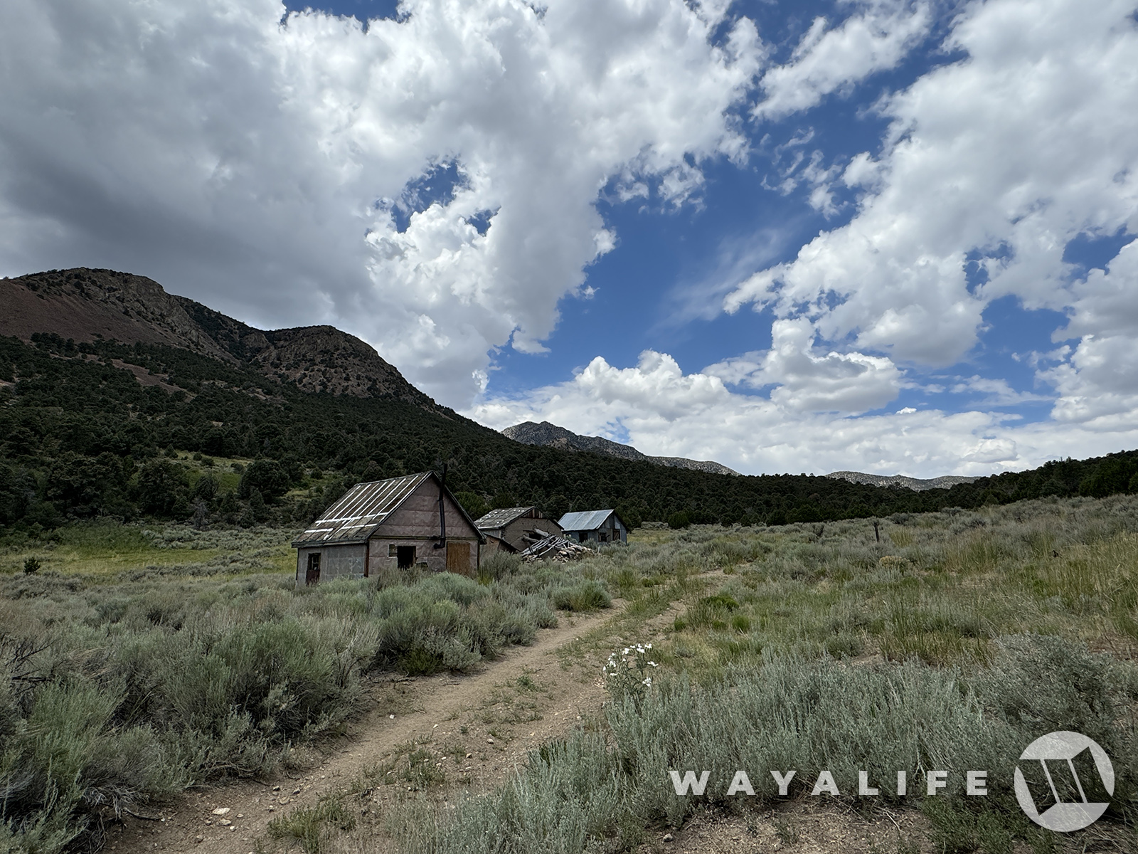
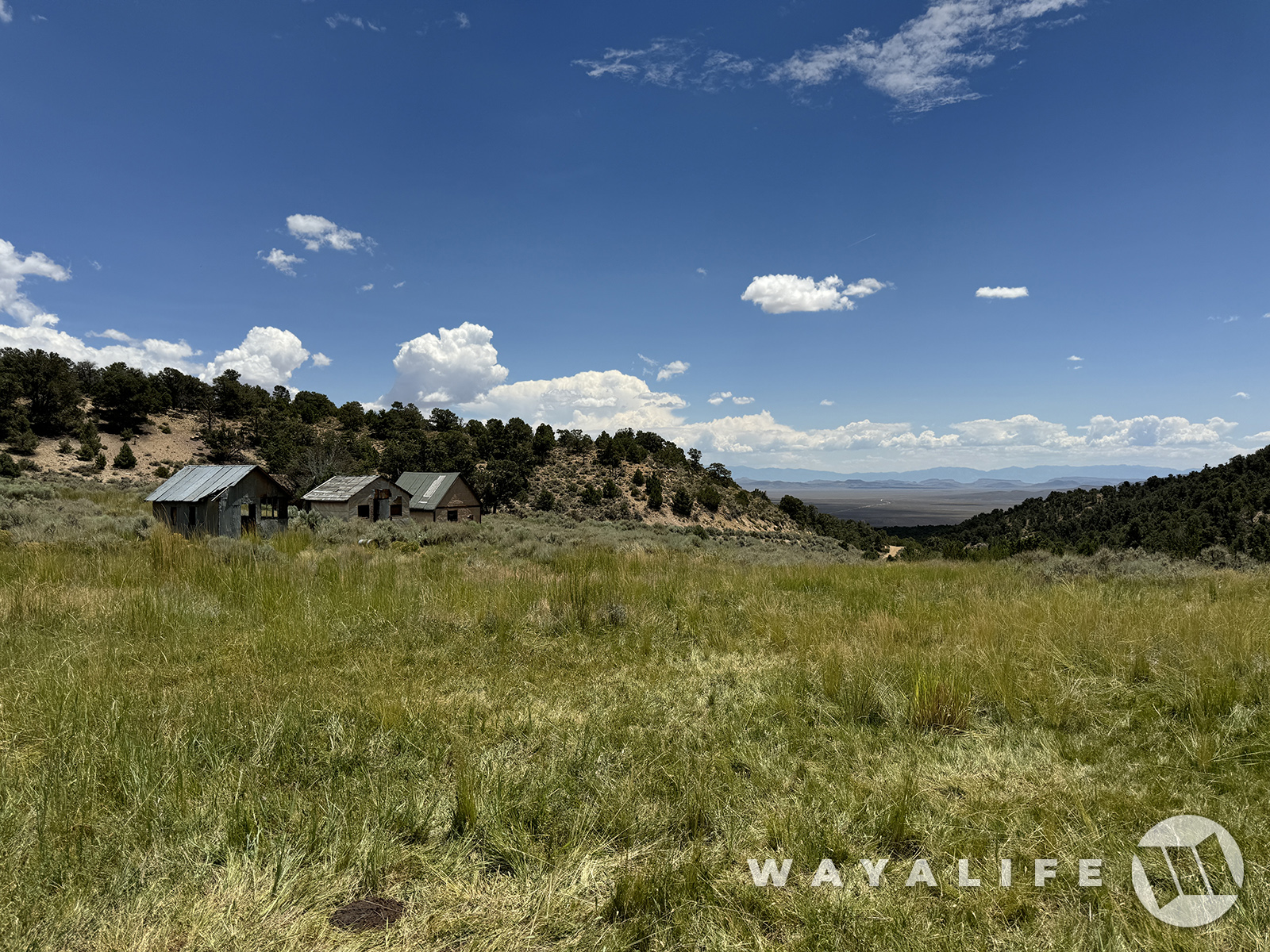
It'd been almost a decade since we've been out this way and there's a wonderful ghost town that we were dying to see again. As we got closer, we decided to hoof it on foot so that we could take a route that was no longer passible by vehicle and to visit the old mill site. And, I have to say that I'm glad we did as it afforded us a beautiful hike through a lovely meadow.
20240726100431-2509013d.jpg


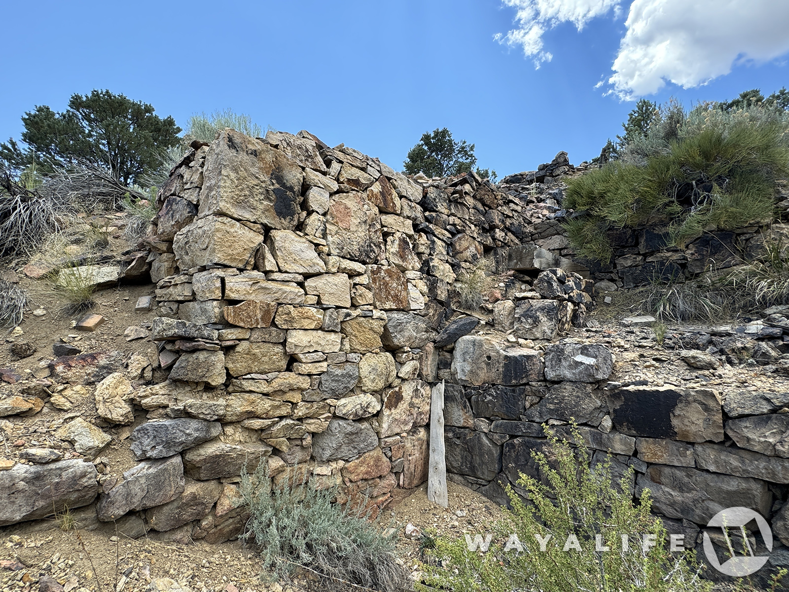
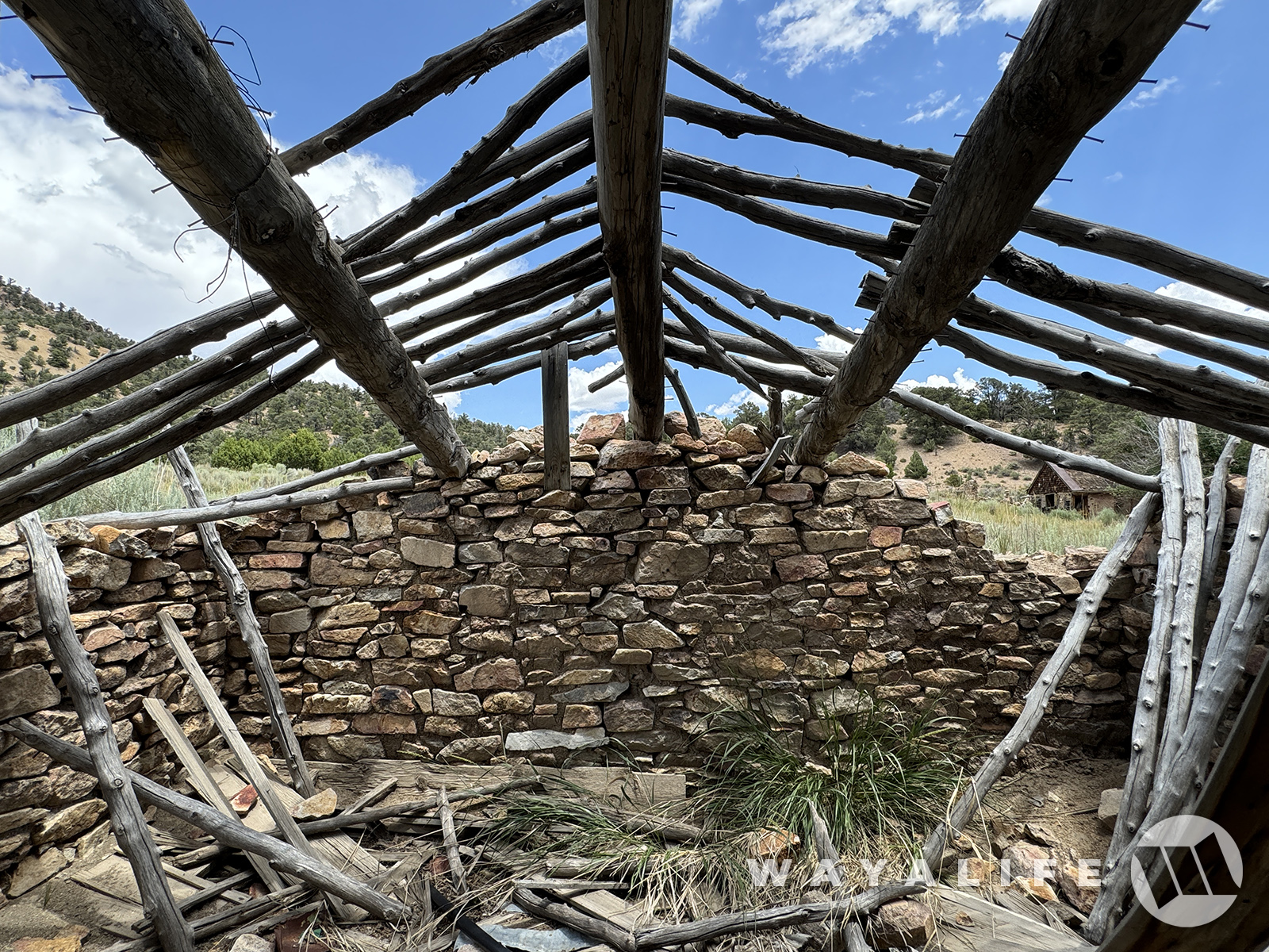
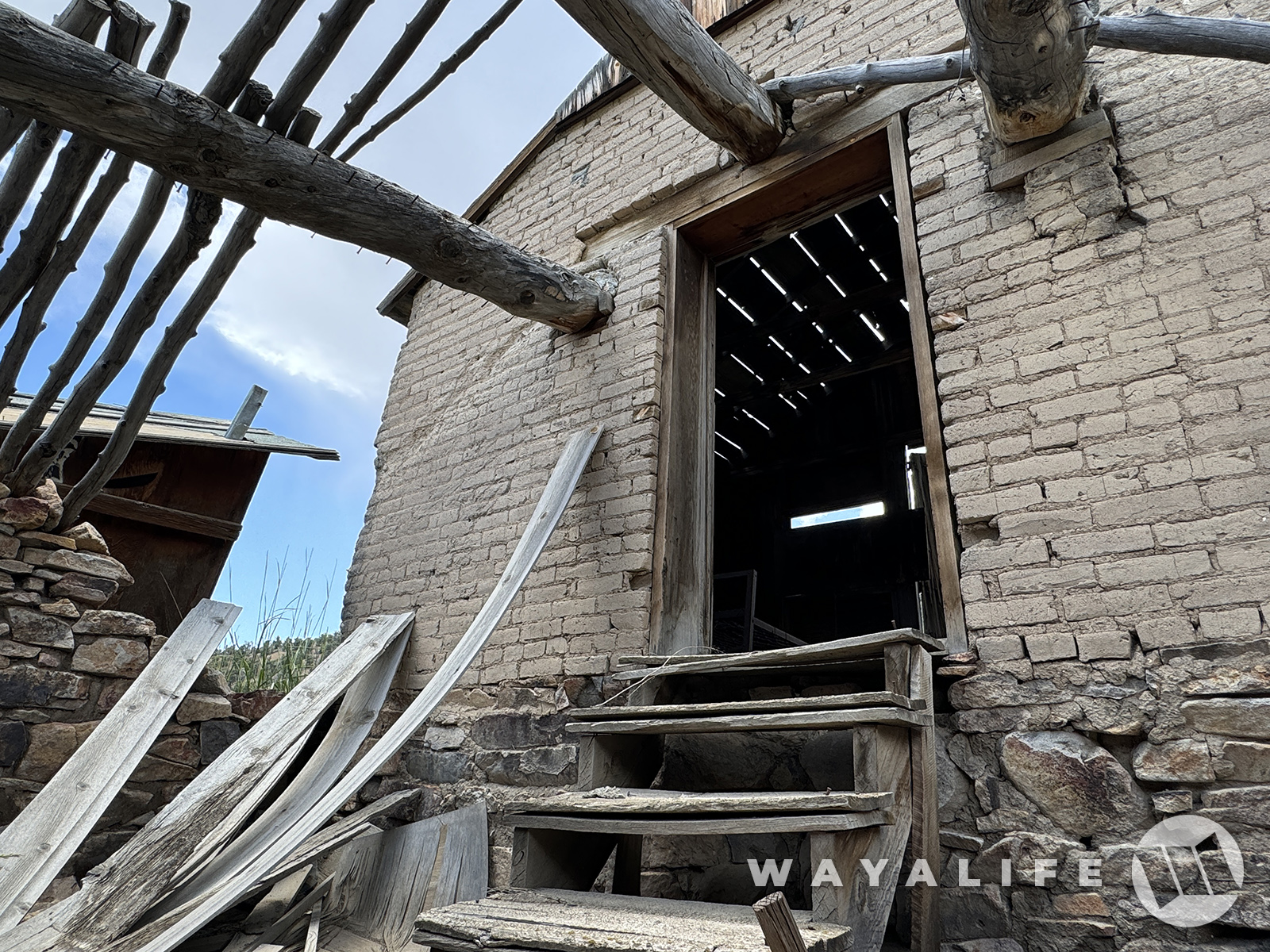
Gold and silver was discovered here in 1867 but an official mining camp wouldn't be formed until 1869. And, while a lot of care was taken to build this mill back in the early 1870s, it only operated for a short time.
20240726085958-f21c758c.jpg

20240726090001-72b7e484.jpg
20240726100437-0045b16d.jpg
20240726100438-1abe045b.jpg


While the town is something you can drive to on another route, we were close enough to it at this point that we decided to just hike the rest of the way there.
20240726100441-c159e701.jpg


By 1872, a post office was established and at its peak, the town had a blacksmith, boarding house, various stores and a population of about 100 people.
20240726100441-16271434.jpg

20240726100452-bb59b7be.jpg

20240726100446-fea1d185.jpg

20240726100455-edc089eb.jpg
20240726090028-4715b115.jpg

20240726090053-aec6b643.jpg


Always love finding old safes like this and imagining what was in it and how tough it was to crack.
20240726090040-7f18ab22.jpg

20240726090056-d3ec15a5.jpg

20240726090102-ccd5636a.jpg

20240726090108-35a61537.jpg


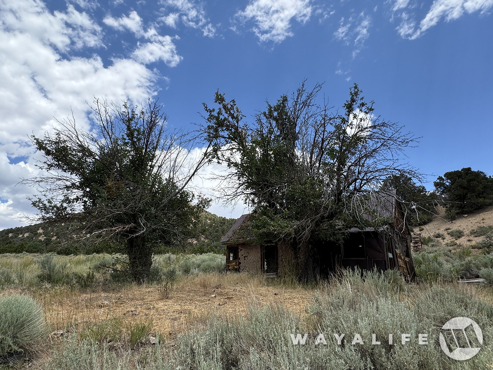
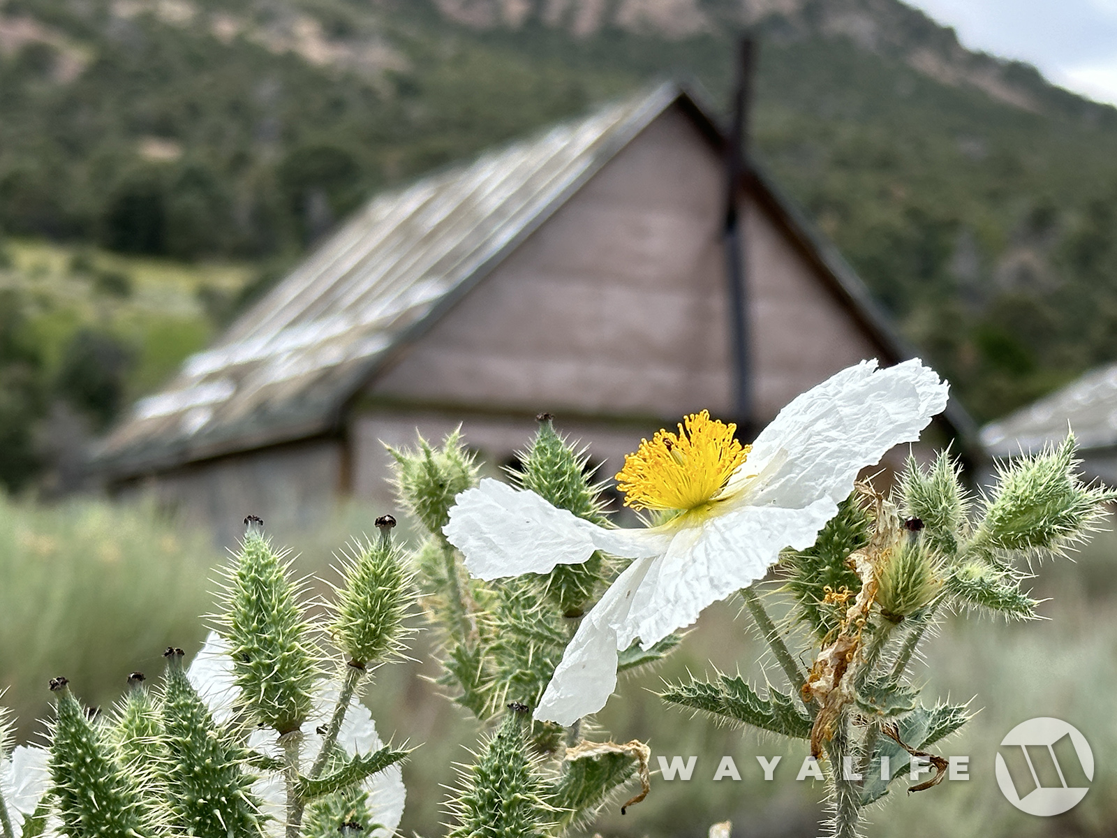
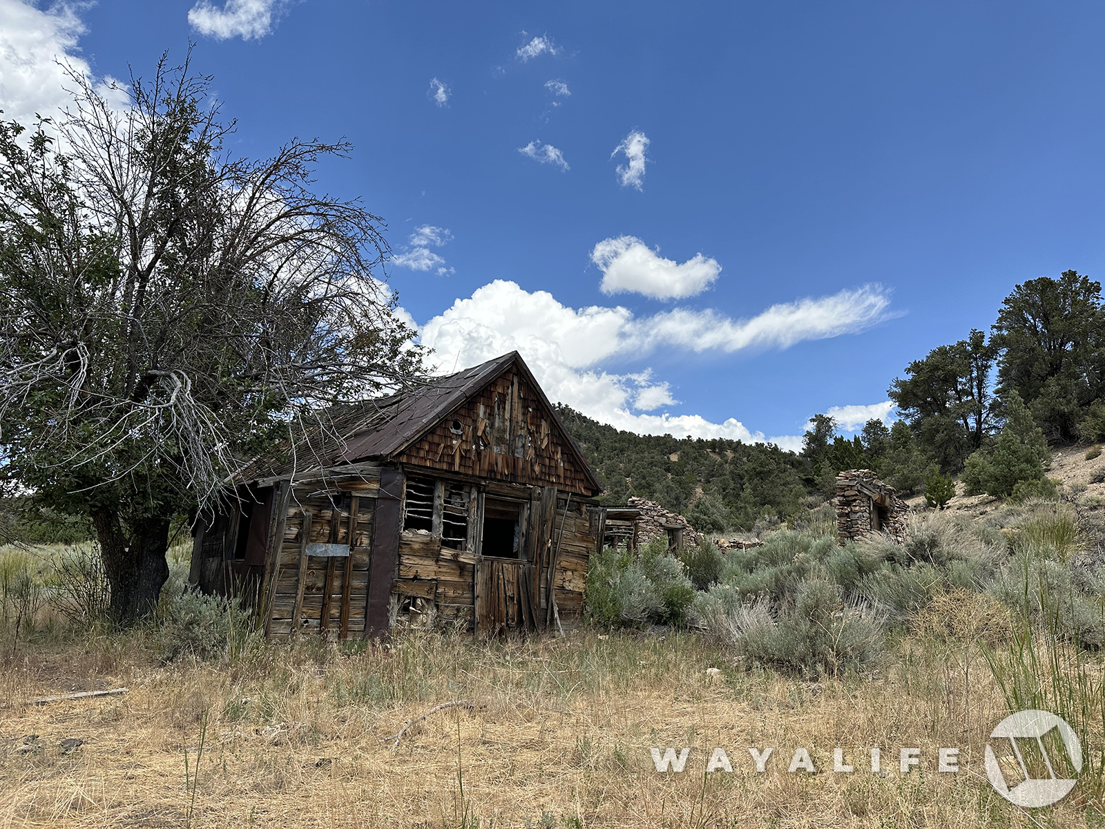
Looking at the girth of the trunks, I can only guess that the two apple trees out front were planted soon after the original residents of this cabin moved in and that means they could be 150 years old or older.
20240726090204-ffdcfa7b.jpg


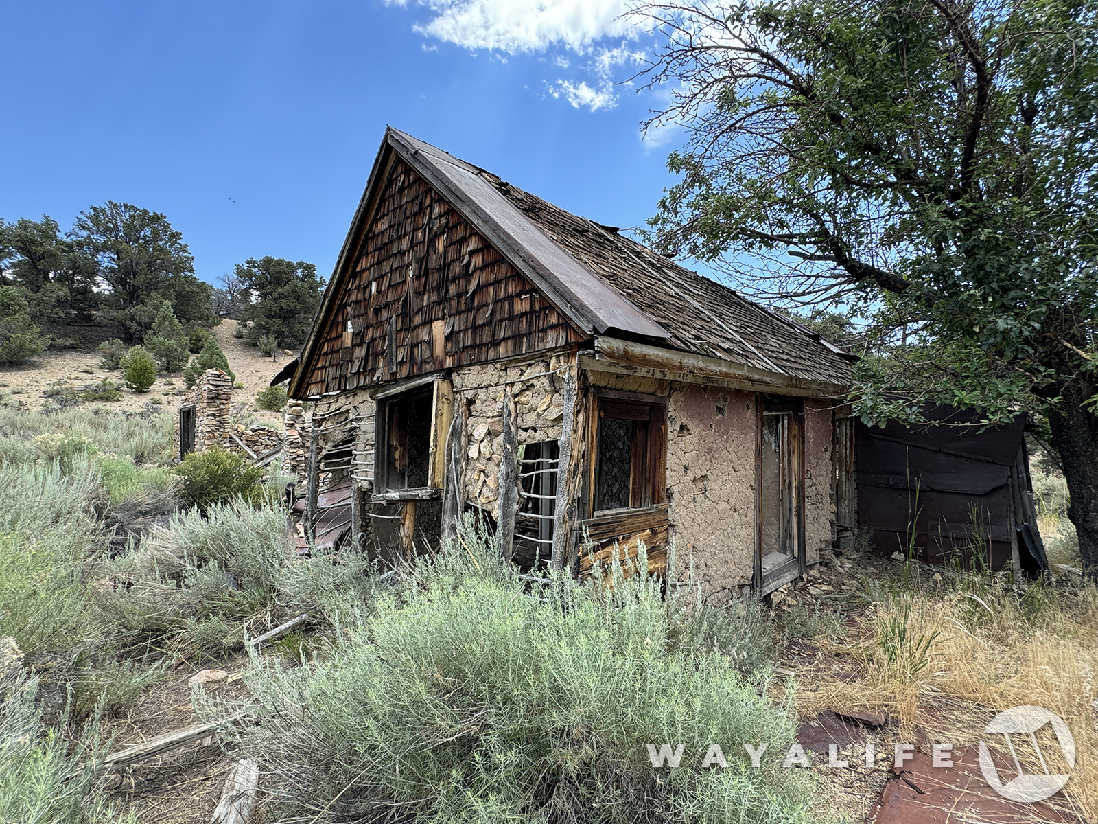
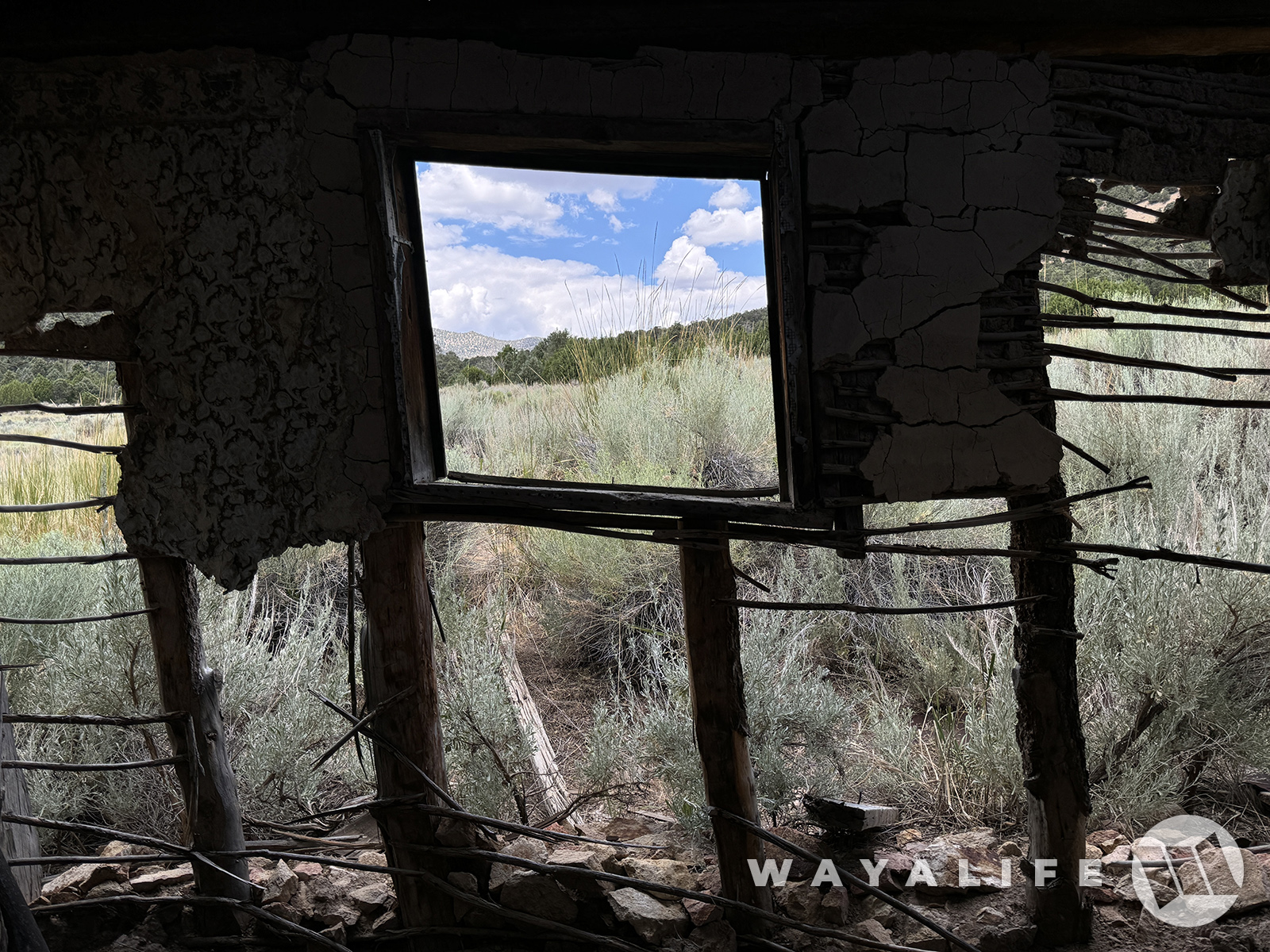
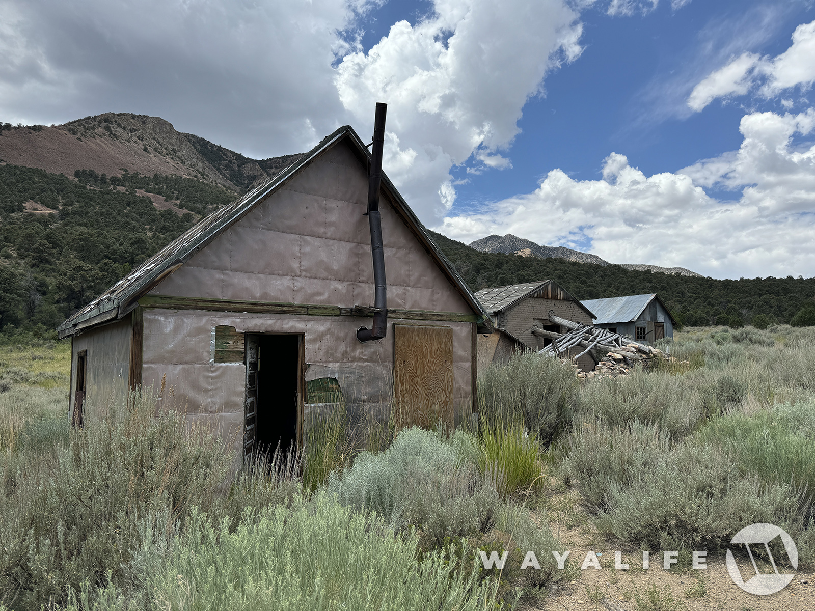
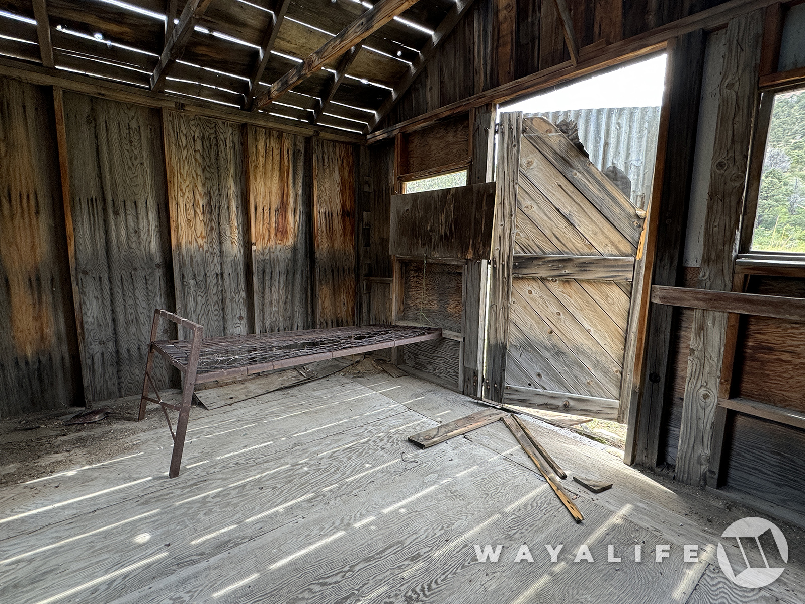
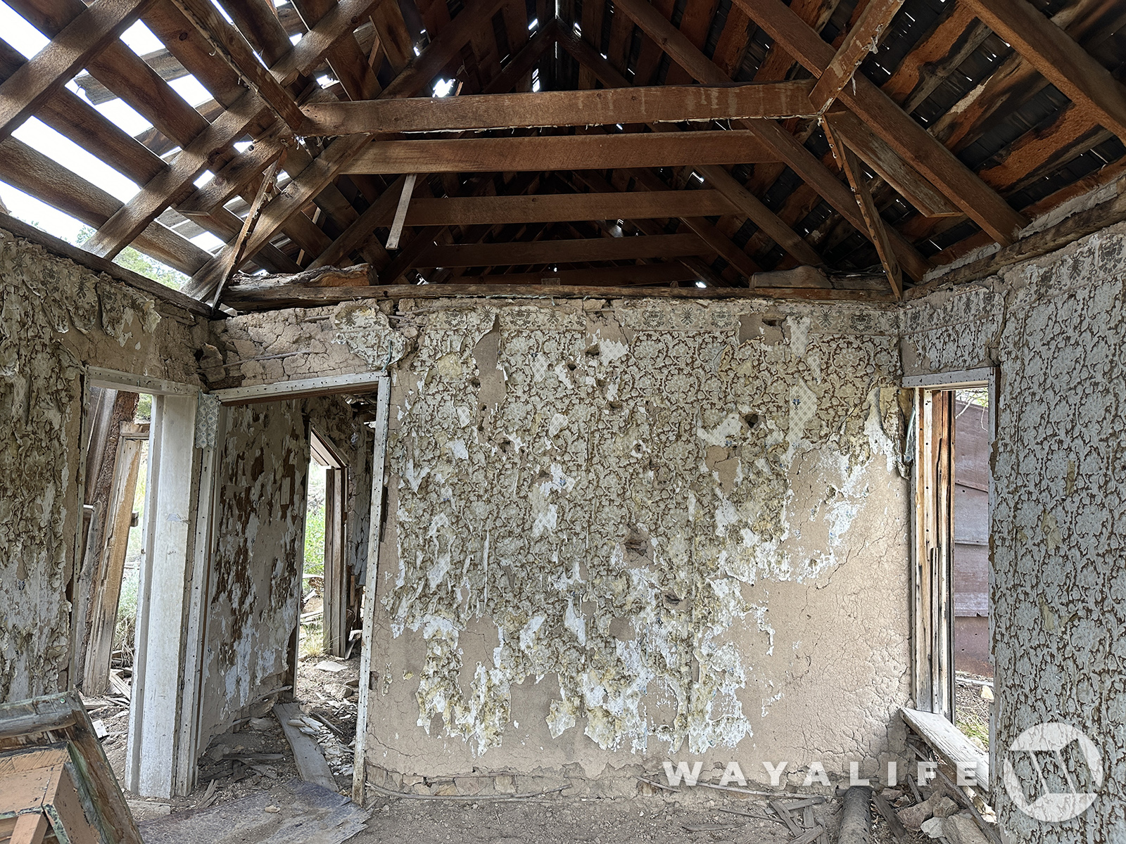
Stepping inside cabins like this is always fun in that you get to imagine what it was like to live in it.
20240726090126-b44ac76f.jpg


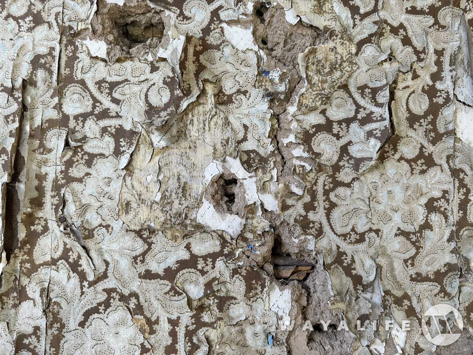
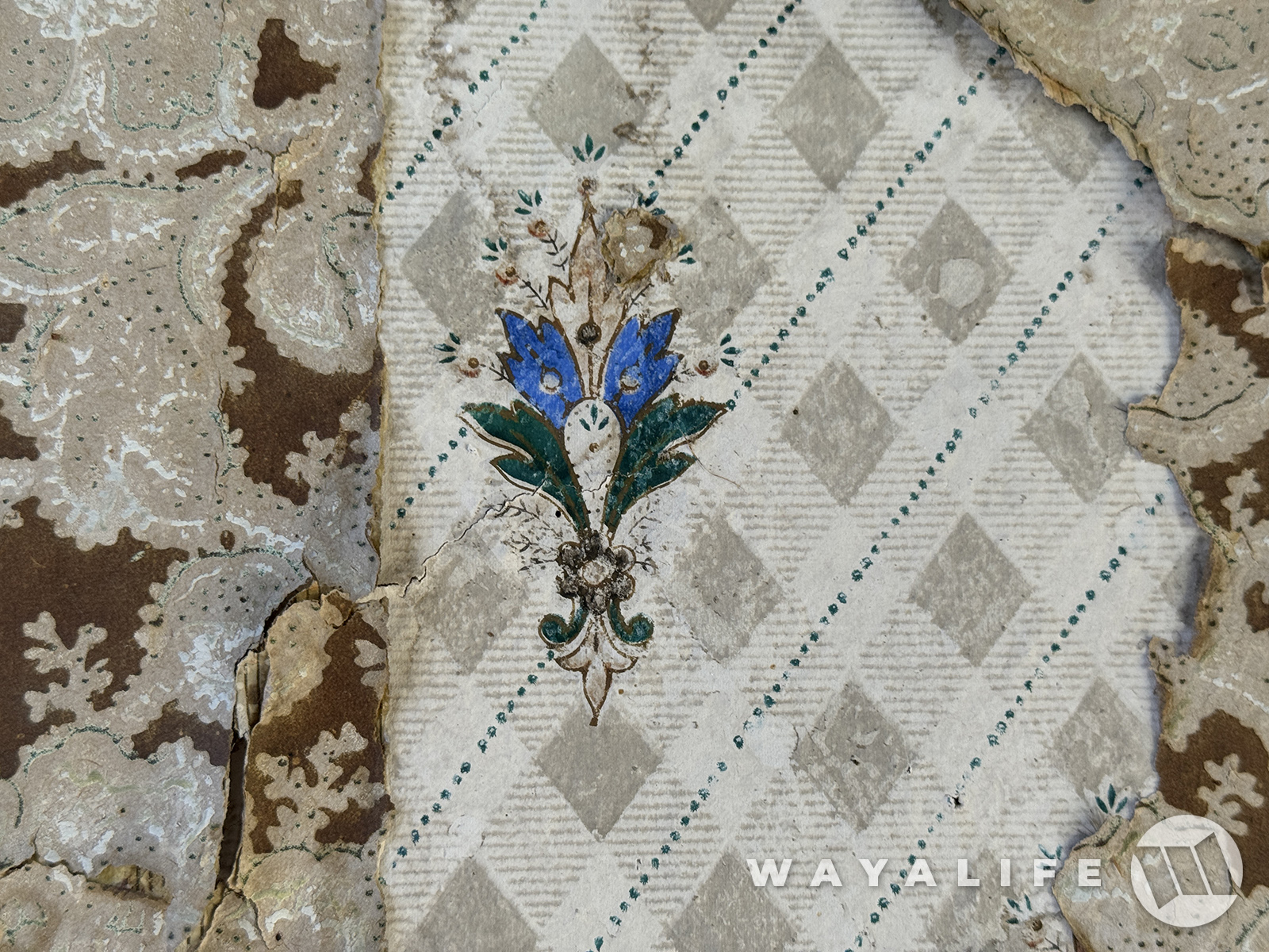
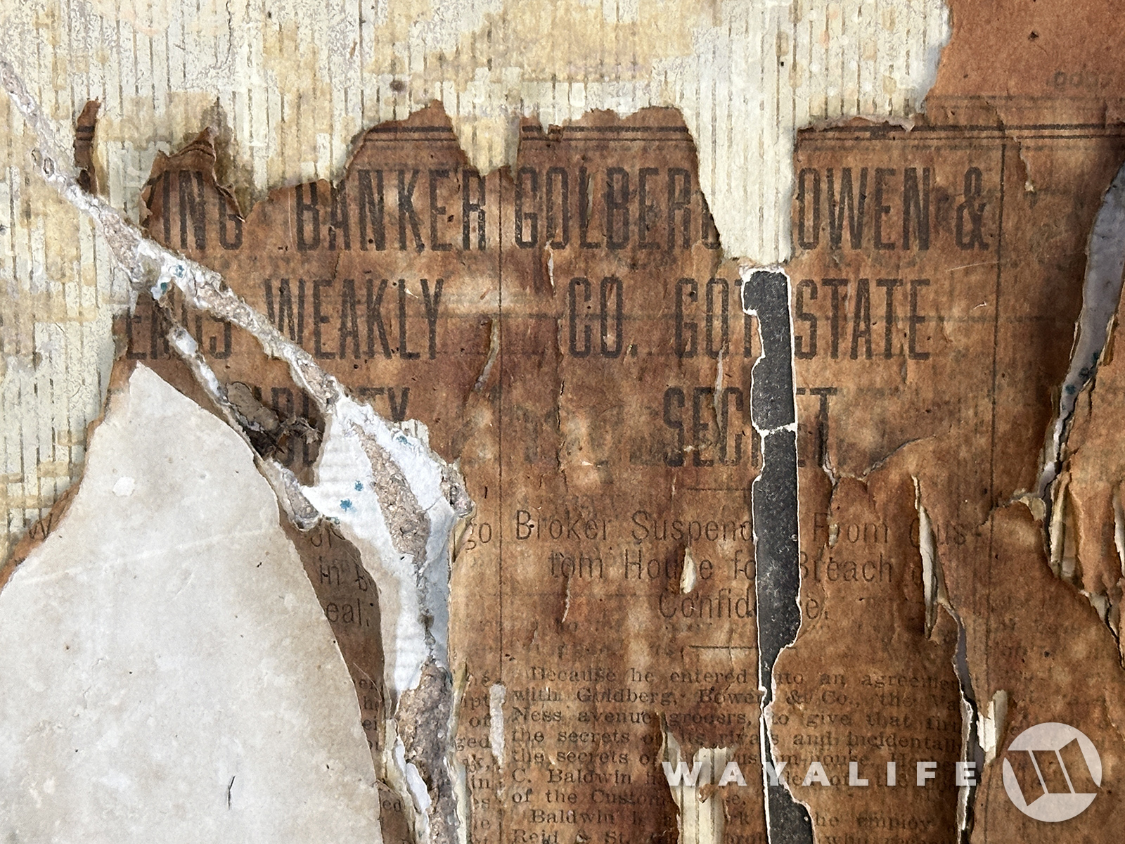
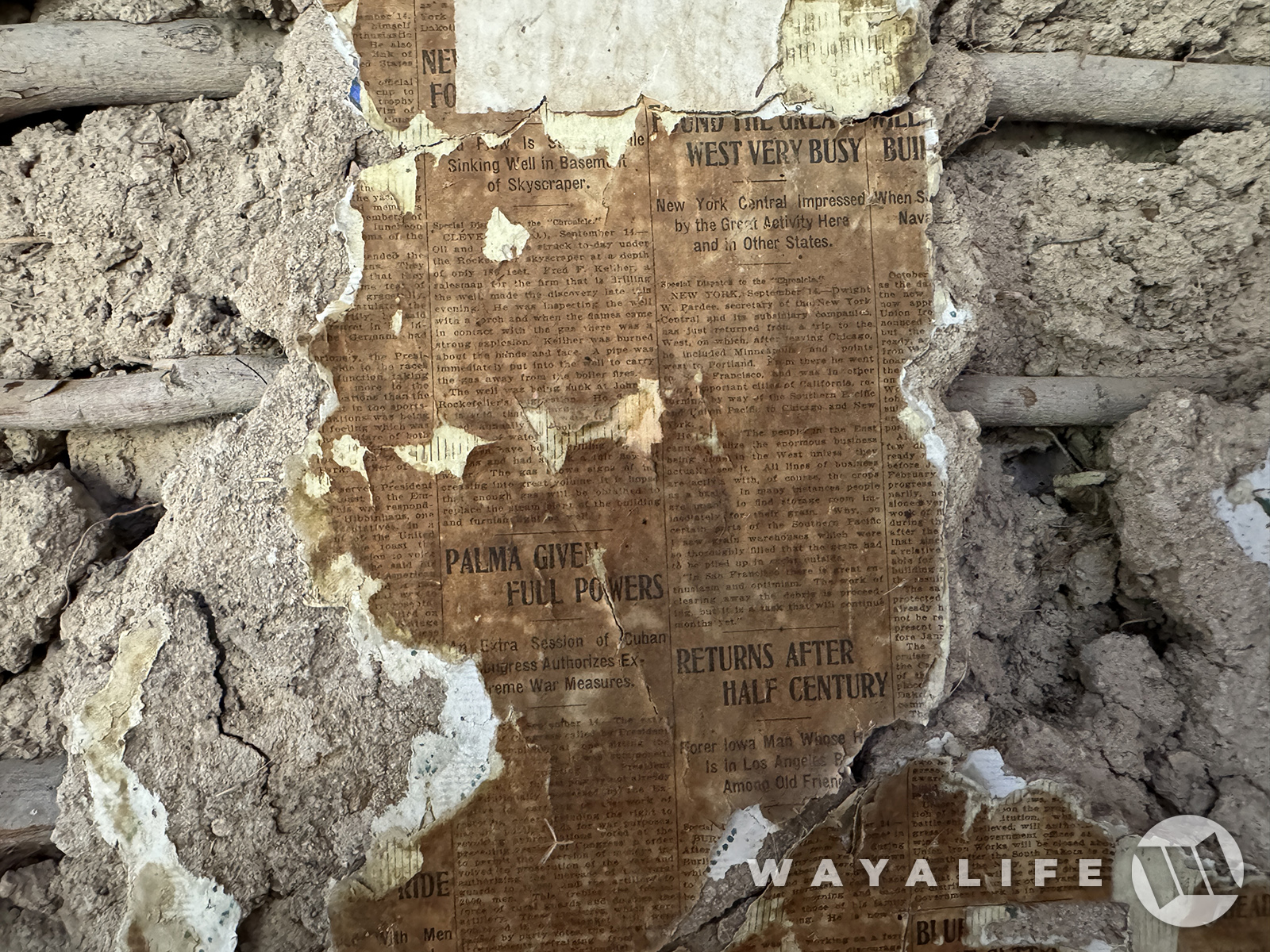
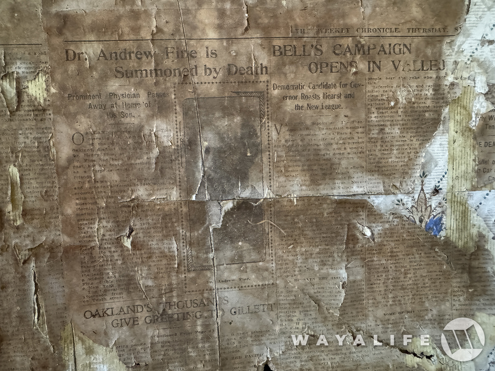
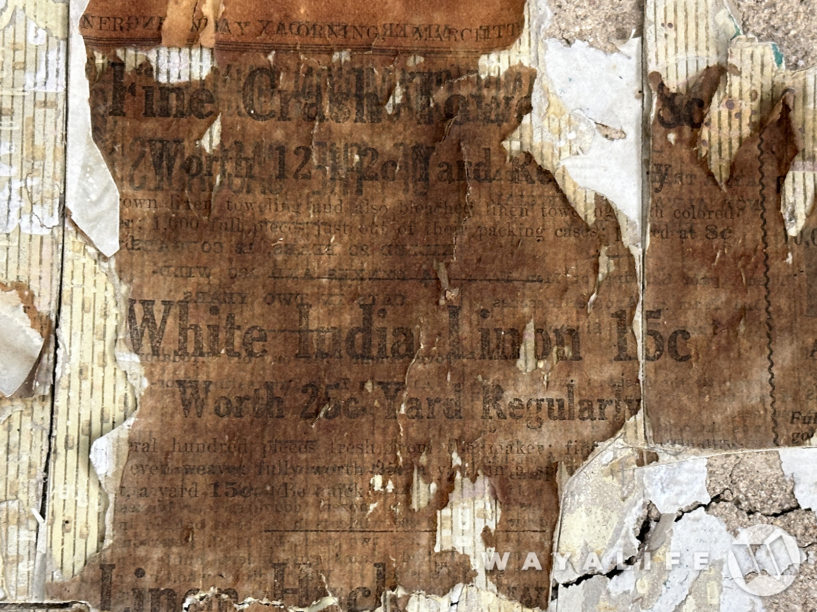
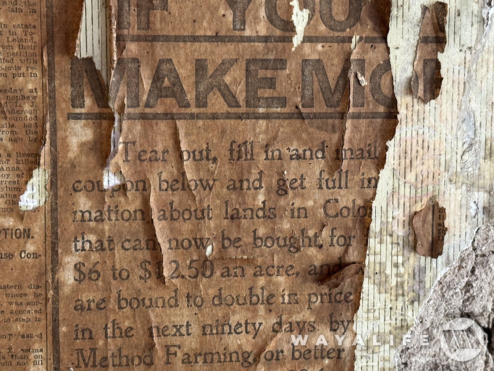
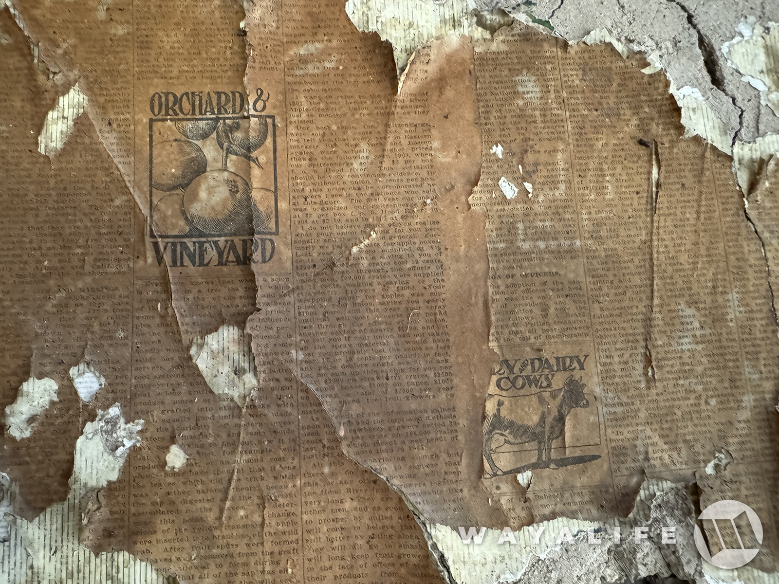
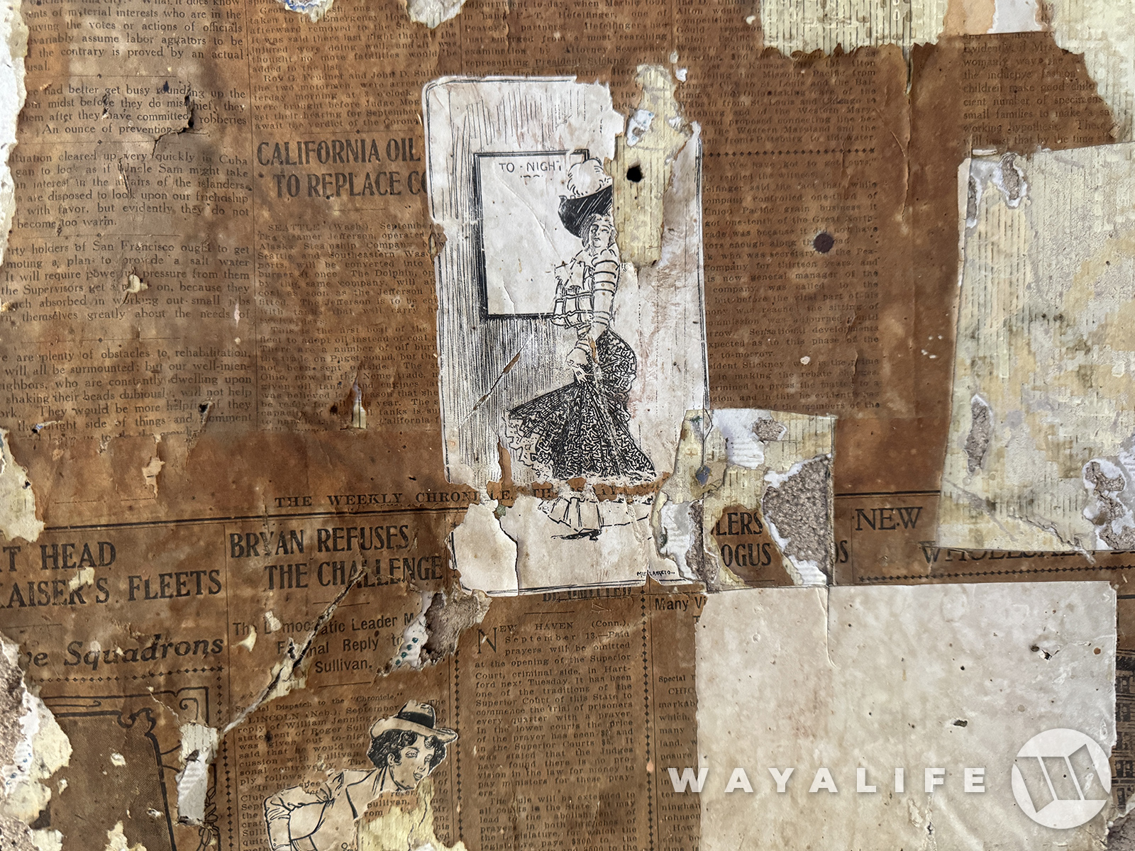
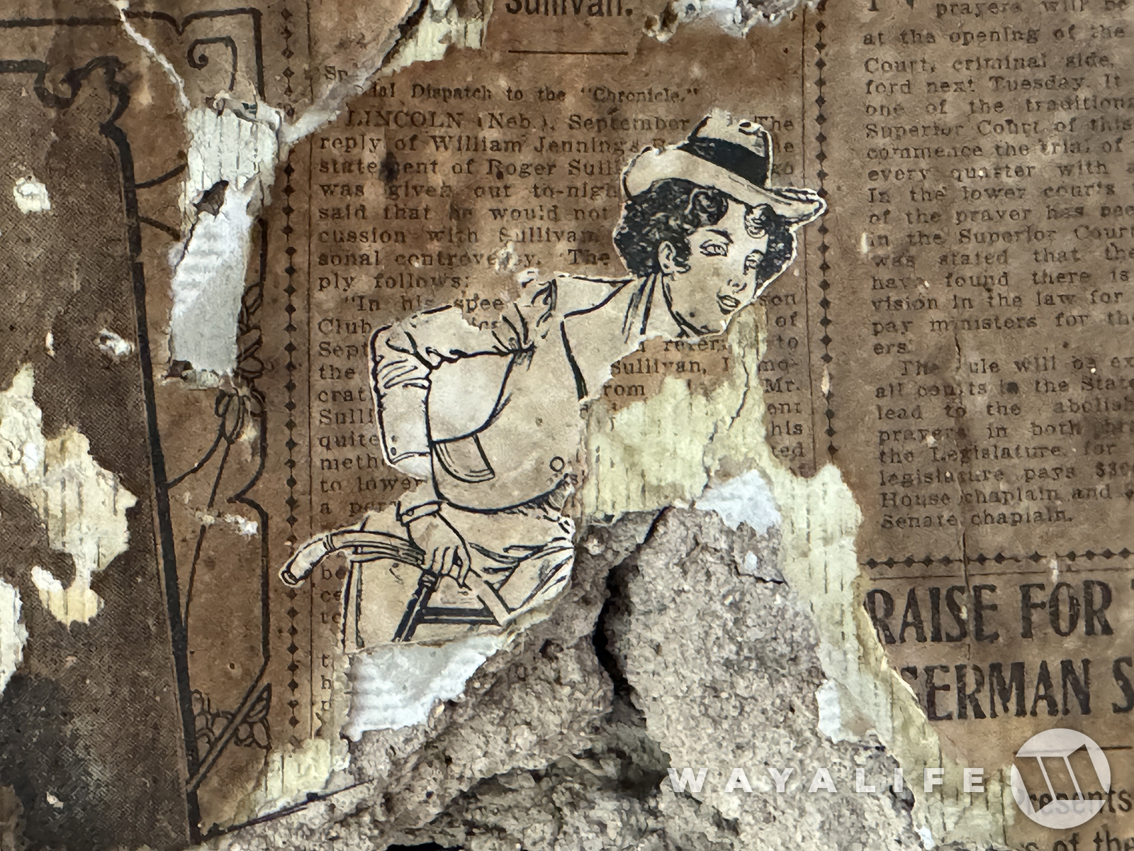
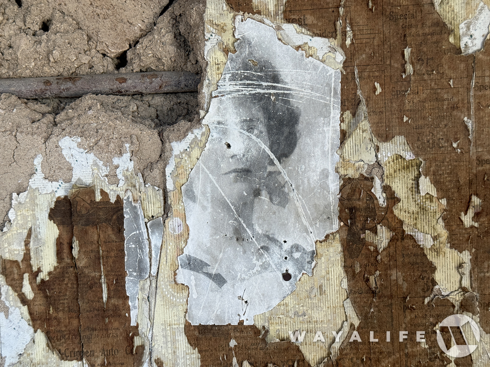
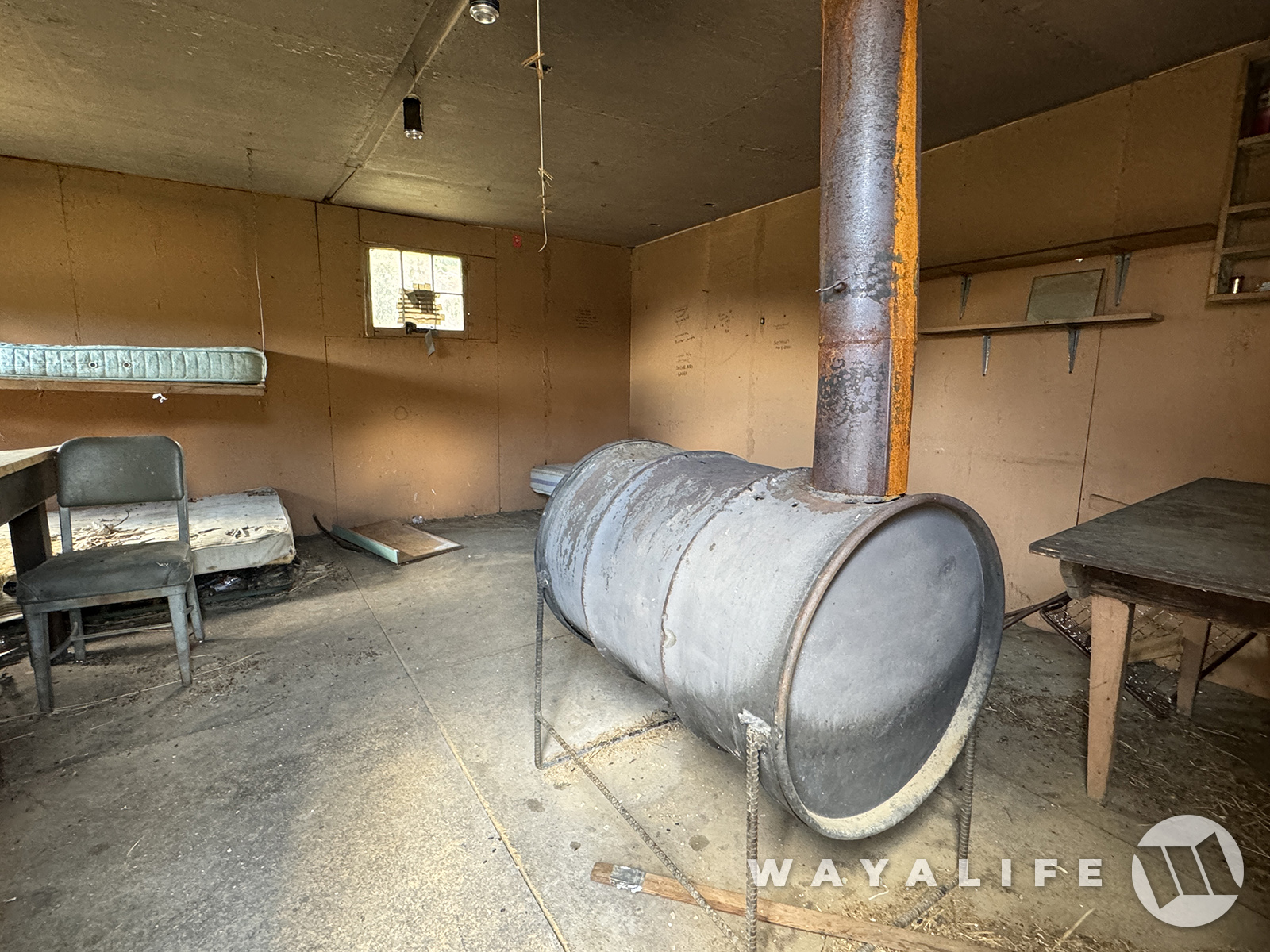
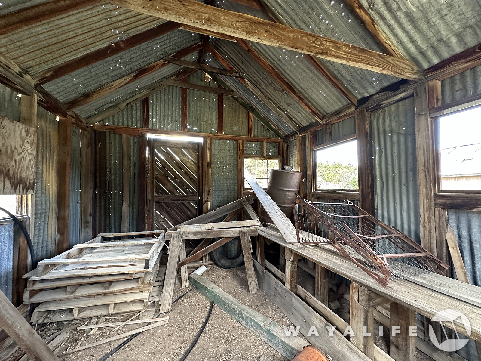
Like most cabins of their time, the walls of this cabin were covered in layers upon layers of newspaper to help insulate it and then finished with a decorative wall paper. However, unlike most, this cabin has been spared the kind of stupid destruction and or vandalism that has become so commonplace these days and it still has a lot (not all - it's still suffered its fair share of stupidness over the last 150+ years) of it's wonderful history remaining.
20240726100500-20296cc0.jpg

20240726090111-9e955916.jpg

20240726090117-54a6f75c.jpg


Unfortunately, many of the newspaper clippings have been cut out and or defaced and just in the last 10 years but some do remain and here are some of what they look like.
20240726100503-3bae20cb.jpg
20240726090140-818385c4.jpg
20240726090143-73b7cbac.jpg
20240726100507-66ea075f.jpg
20240726100509-927353dc.jpg

20240726090148-480421cb.jpg


If you look just below the illustration of the lady, there is an article regarding William Jennings Bryan refusing a challenge. Bryan was of course a powerful Democrat politician back in the late 1800s and ran as the party's nominee in 1896, 1900 and 1908.
20240726090132-f0997047.jpg

20240726090137-b8a3ddc6.jpg

20240726090129-53c82da5.jpg
 
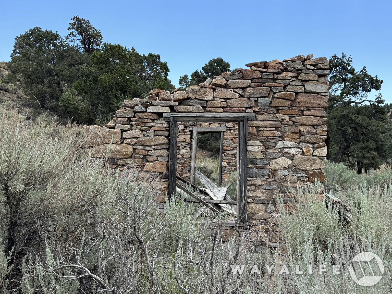
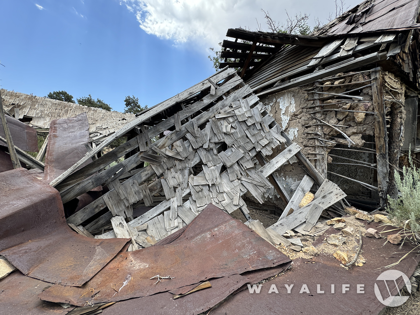
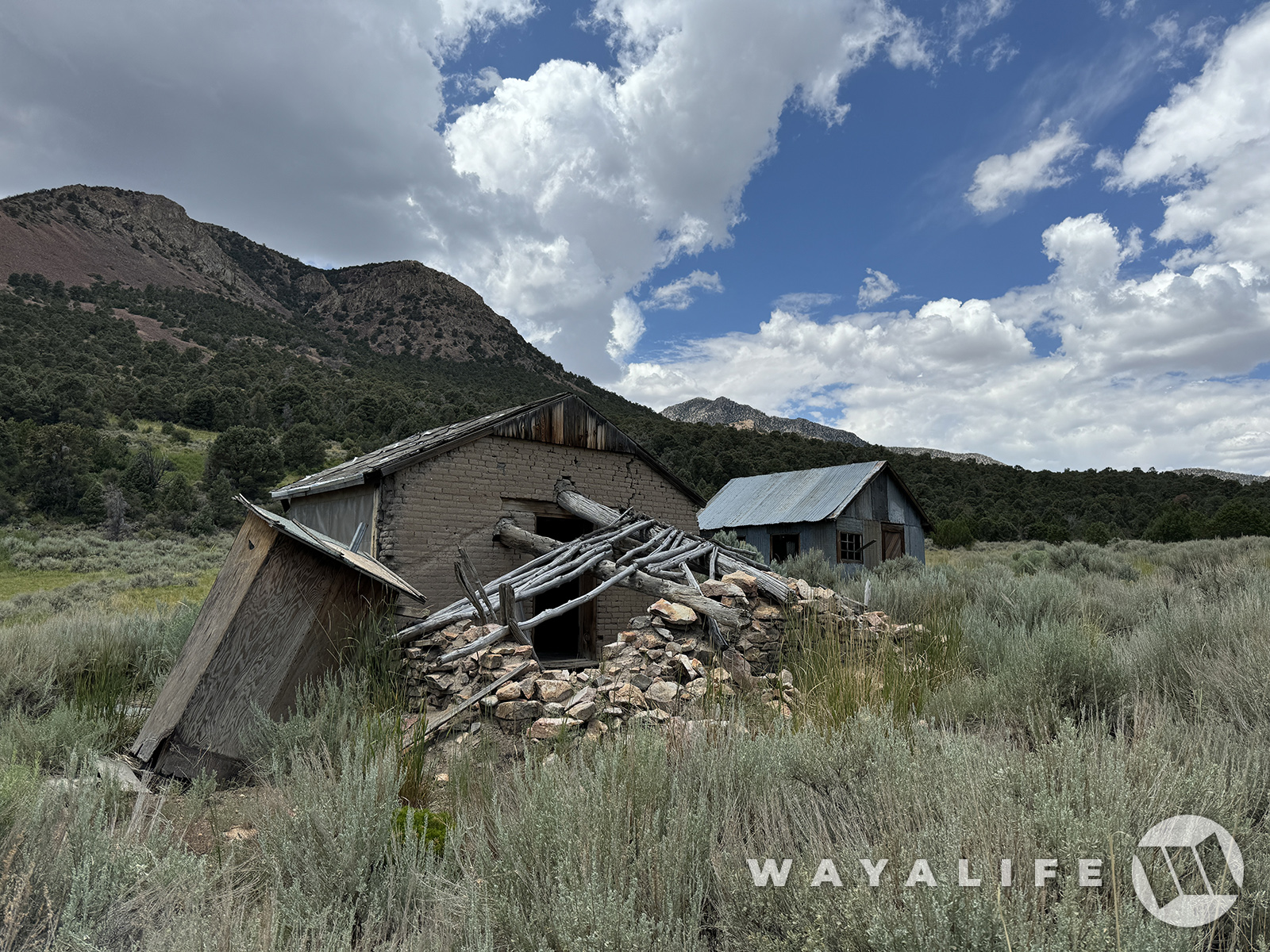
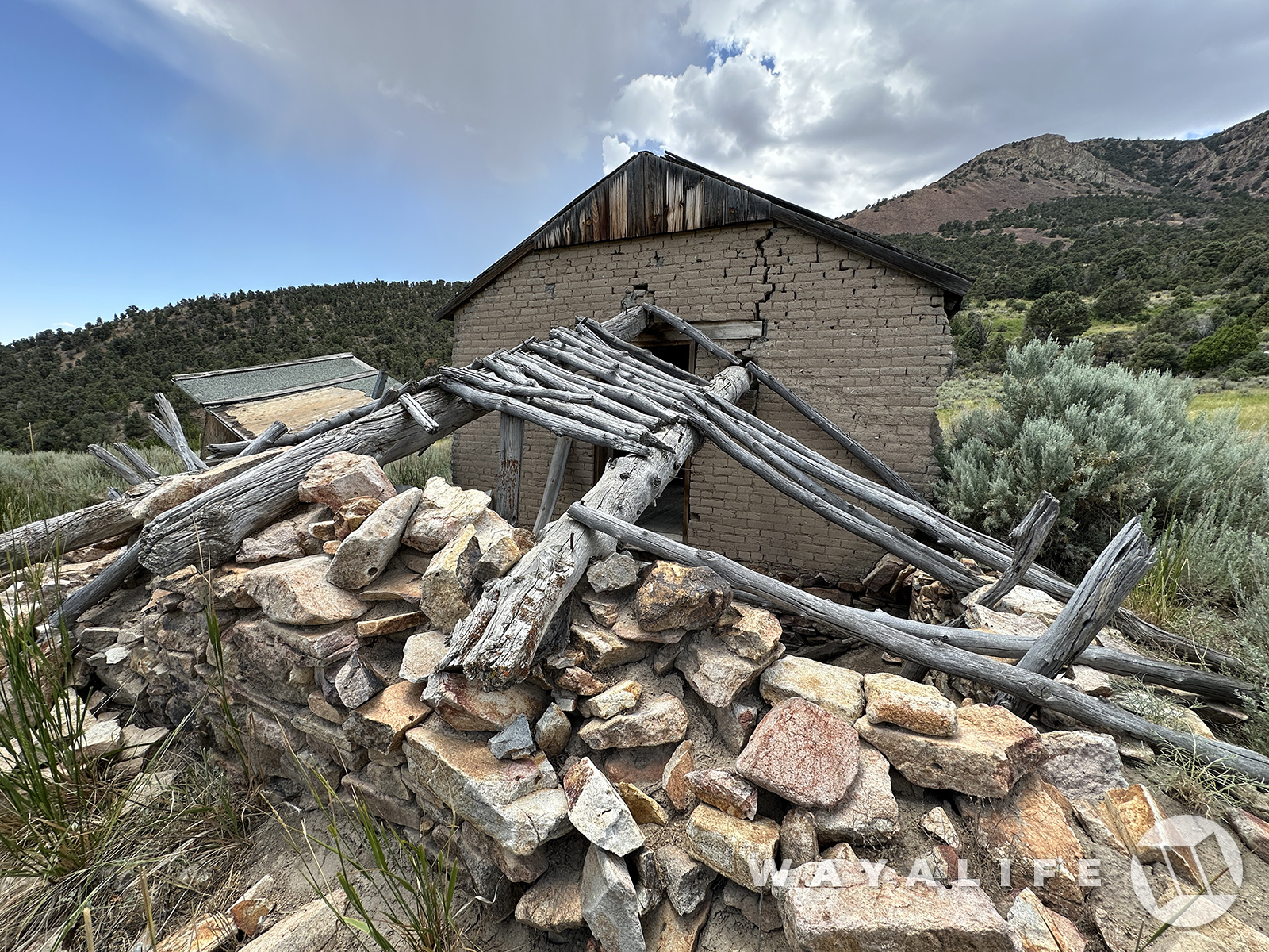
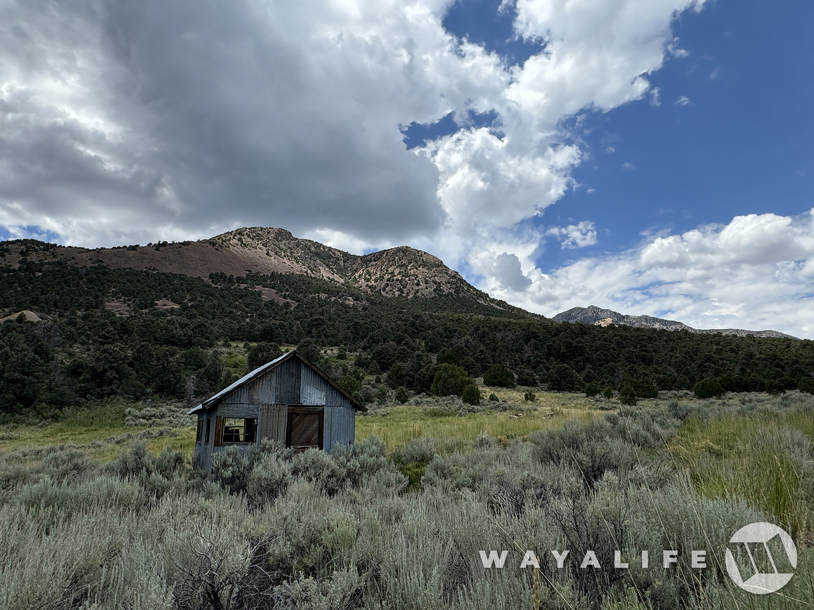
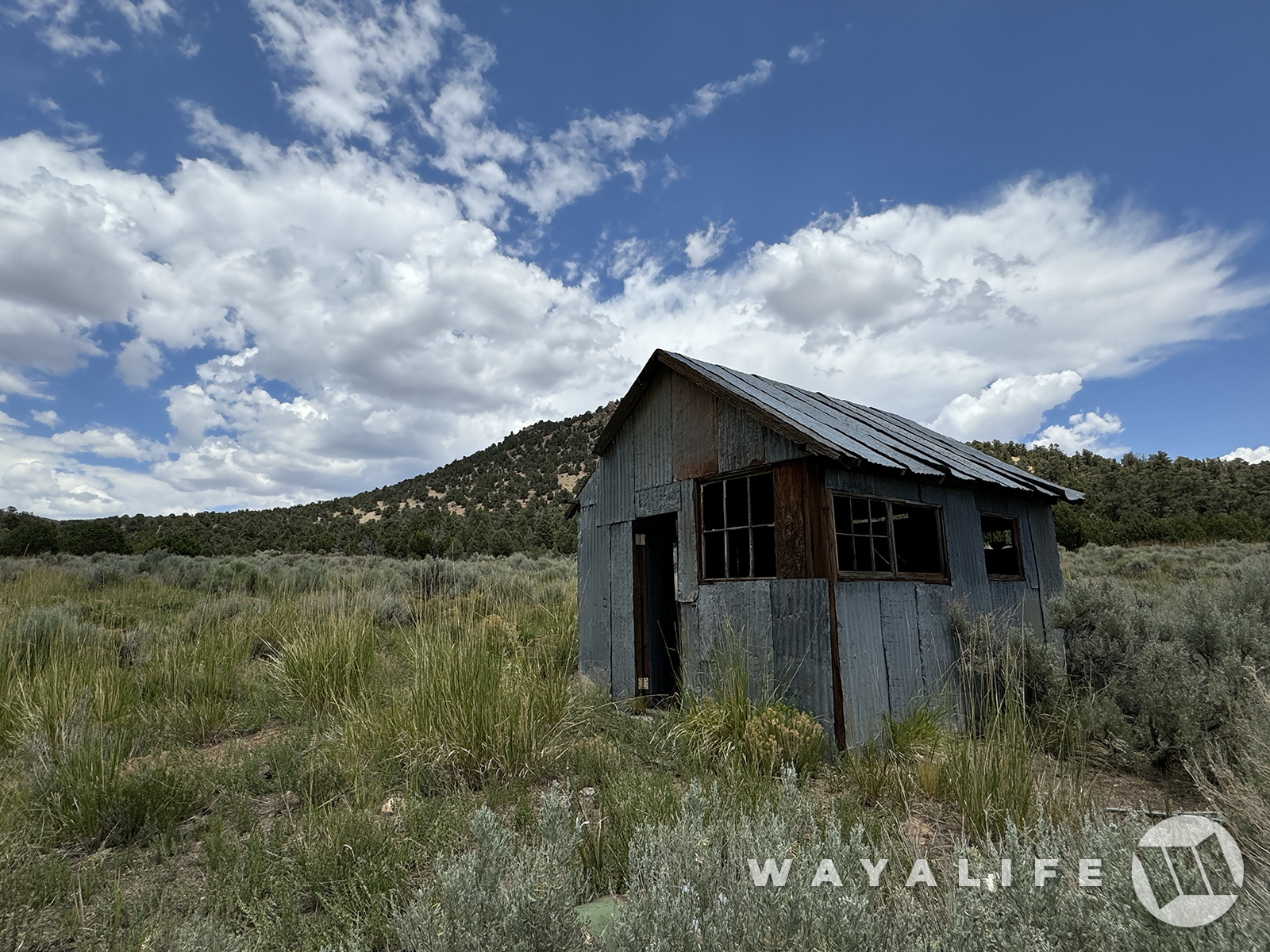
Move on the explore the rest of the town or at least, what remains of it.
20240726090224-3c1d5764.jpg


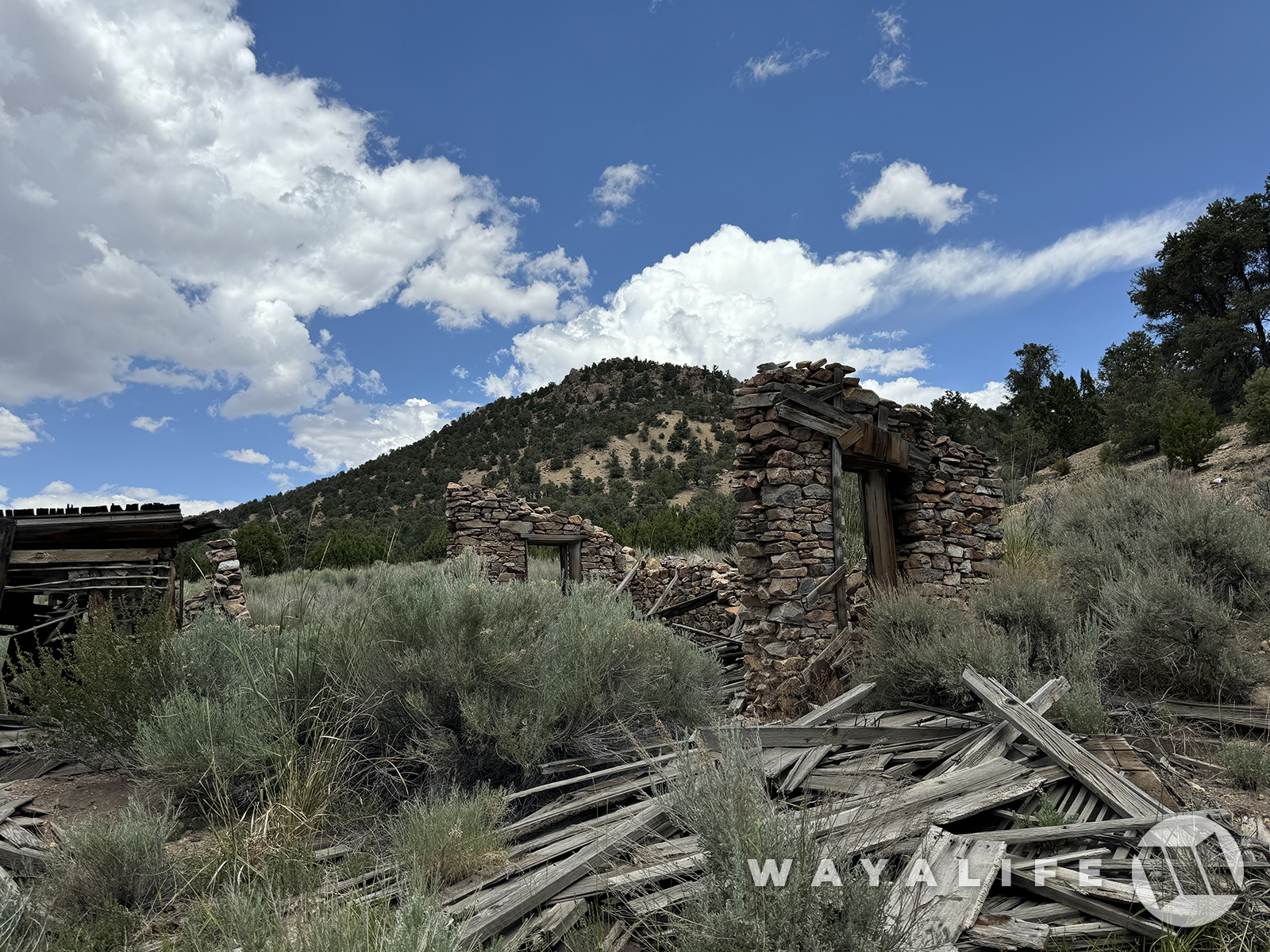
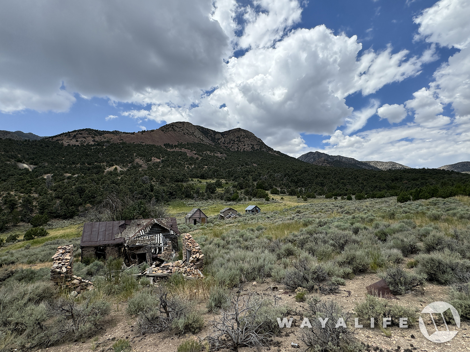
If there is a common theme regarding many of the ghost towns in Nevada, it's that most were abandoned about as quickly as they were established and this one was no different. By 1905, the post office was closed and the last of its residents had left by 1909.
20240726100515-40cad90a.jpg

20240726090233-dc06963e.jpg

20240726090240-fed462ae.jpg


While there were several attempts to resume production of the mines, all efforts had come to an end in 1926.
20240726090243-25857224.jpg

20240726100516-c0a50d93.jpg
20240726090257-e8d8134e.jpg
20240726090303-f68a94ed.jpg
20240726090312-e3433857.jpg

20240726090331-7939f8b7.jpg

20240726090319-e36f4c62.jpg
20240726100518-24945379.jpg

20240726090337-ec32652d.jpg


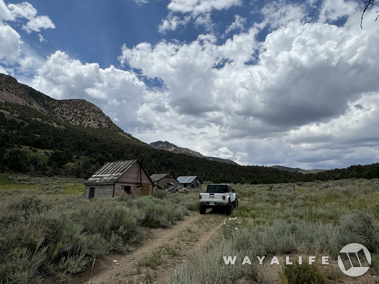
After hiking back to our Jeep, we decided to take the route that would have gotten us up to the town and if only to take a pic of it there.
20240726085418-be0ba322.jpg

20240726090352-c7a99957.jpg


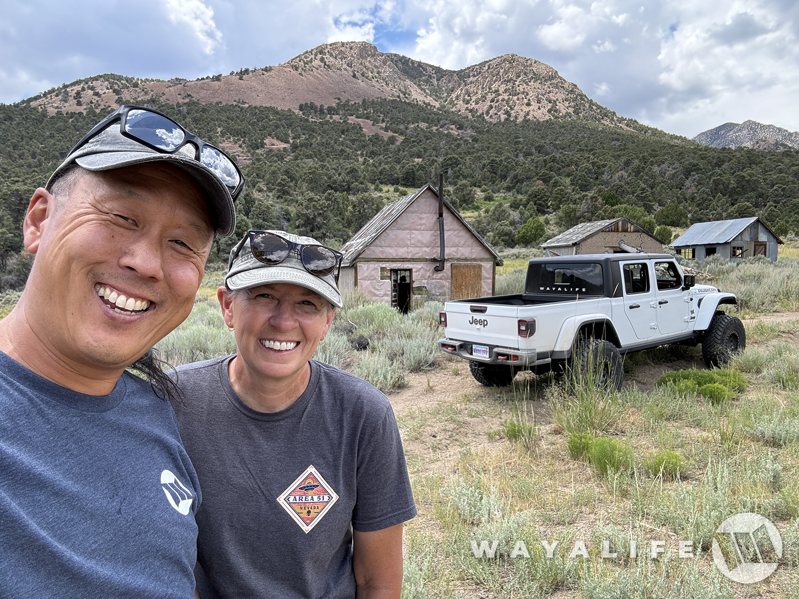
Well, and a pic of us there too - something we had forgotten to do.
20240726090343-b529aac8.jpg
 
Last edited:
With gas getting low, it was time to get serious and make our way back to pavement.
20240726090358-a2c54b5f.jpg

20240726085422-2a585b3e.jpg


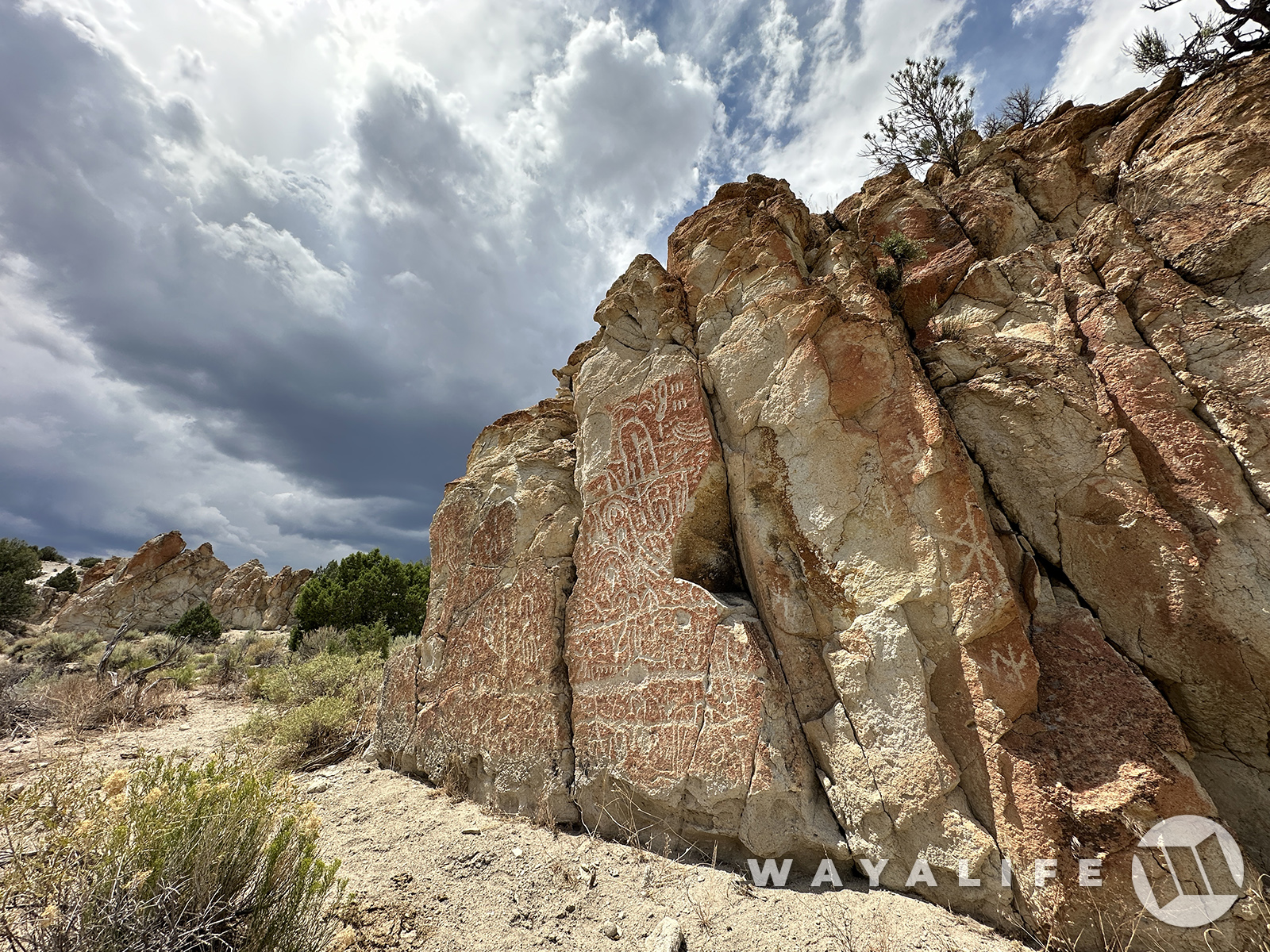
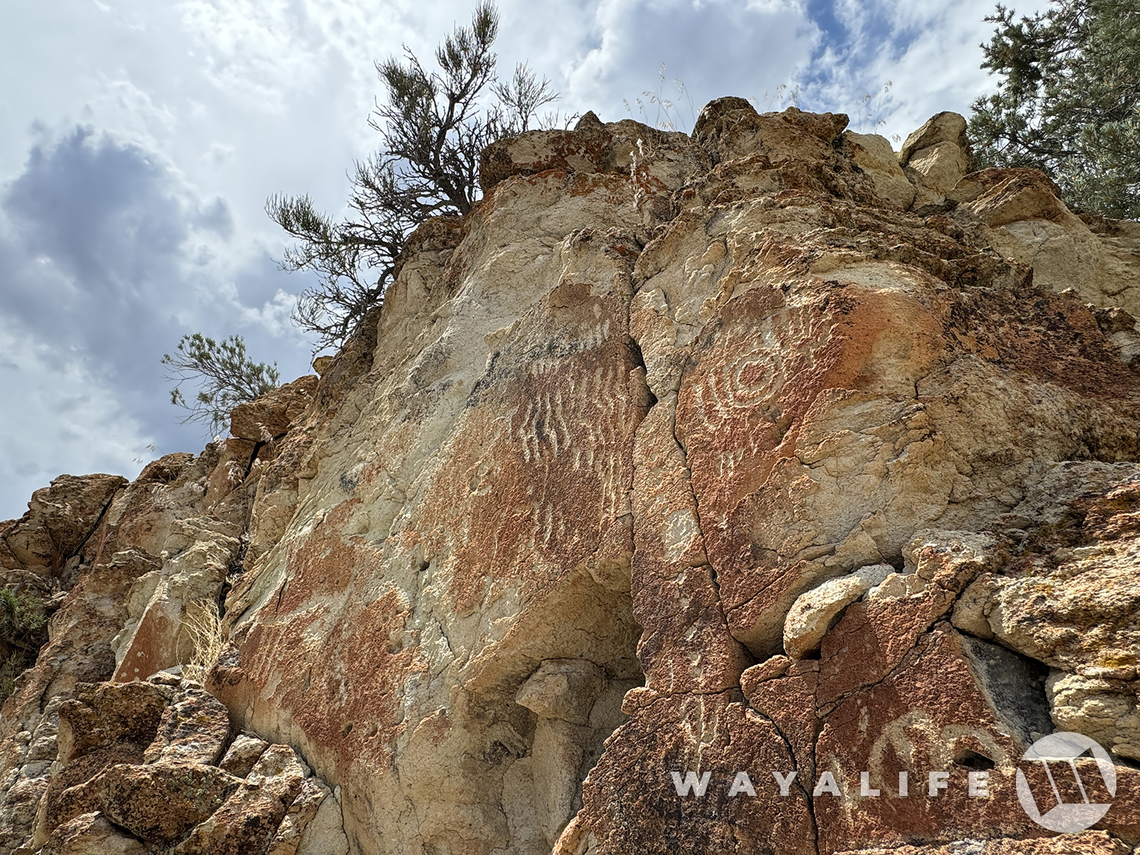
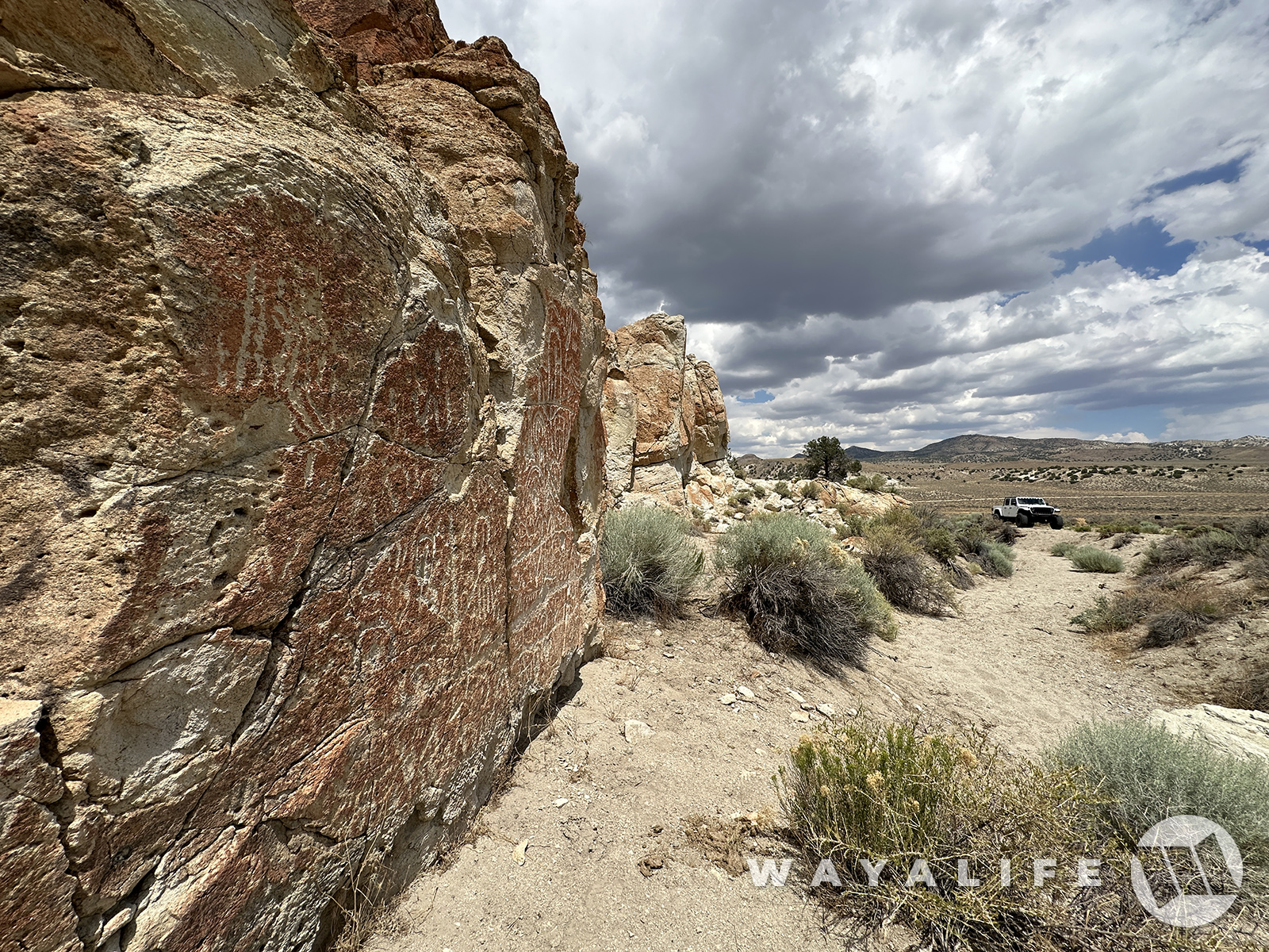
But first, there was a petroglyph site kind of on the way and that we hadn't visited in quite some time and we just had to make a stop there.
20240726100530-f32234f2.jpg


Unlike most of the petroglyphs that you can find out in Nevada where the people who created them did so on nearly black basalt, the panels you find here have been pecked out of pumice or other kind of igneous rock that's covered in a reddish orange patina.
20240726100531-c30feb68.jpg
20240726085434-ba8c3840.jpg
20240726100538-ef62ad0a.jpg


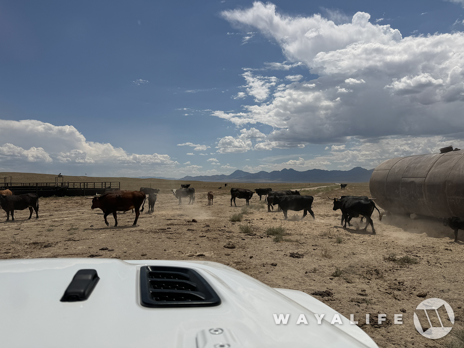
On the move again and in the direction of pavement, we ran into some traffic.
20240726085455-bc9f024a.jpg


And then, there was a piece of property that Cindy wanted to check out that was nearby too.
20240726100550-ff3c1ee4.jpg

20240726100546-d55460c3.jpg


When we finally got back to pavement, we had 3 choices for gas. First, go back west to Tonopah as that would be the closest town but in the wrong direction. Second, press on eastward toward Ely as that'd be the next closest town and again, in the wrong way. Or, head south toward Rachel and with the hopes they still have gas.
20240726085457-3b3e7fa5.jpg


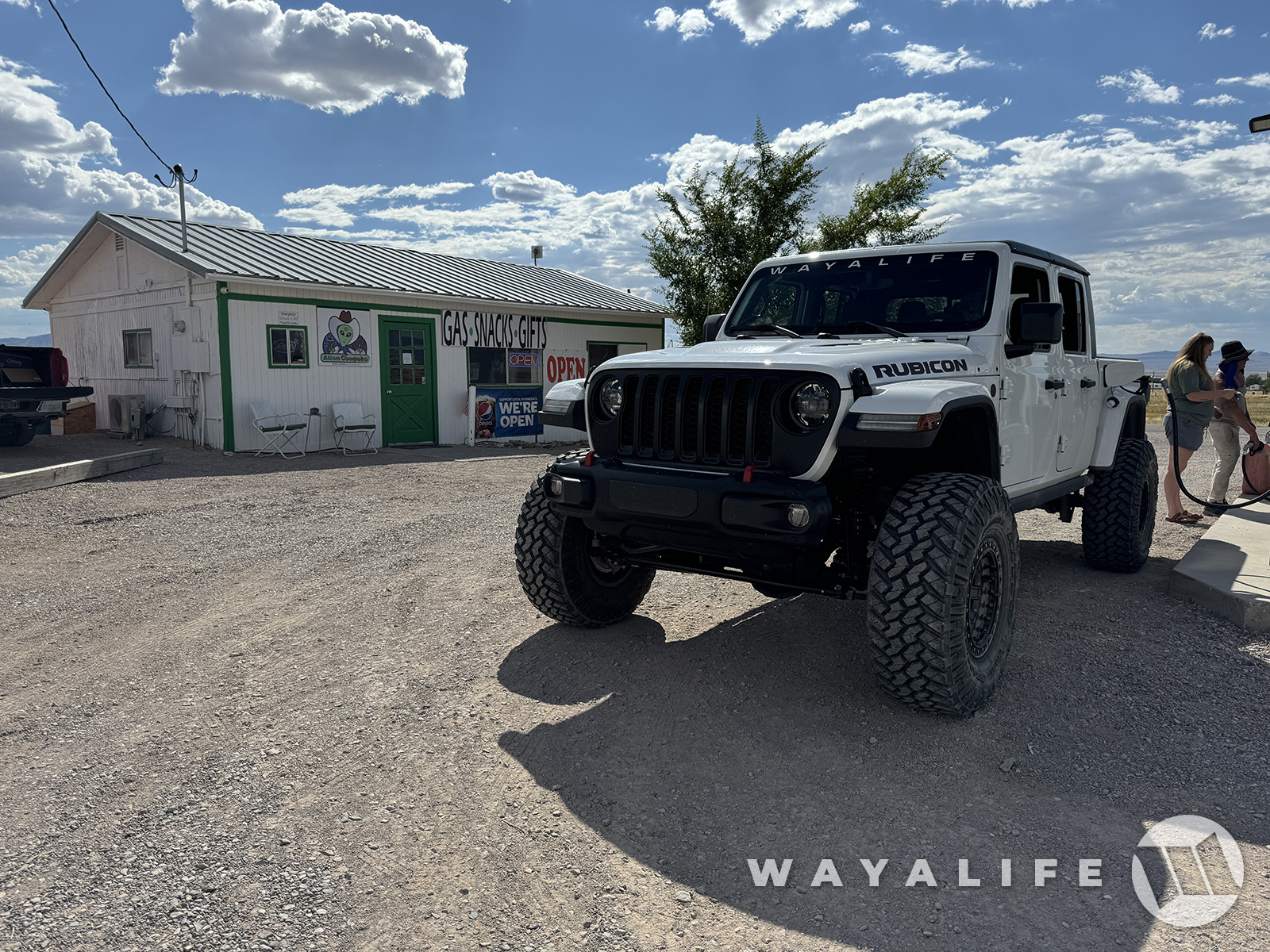
Fortunately, Rachel is what we chose and thank goodness that they have gas there again because even driving real slow to conserve fuel/increase range, we just made it. If we had to go down to Ash Springs, we wouldn't have made it LOL.
20240726085514-a96879f5.jpg


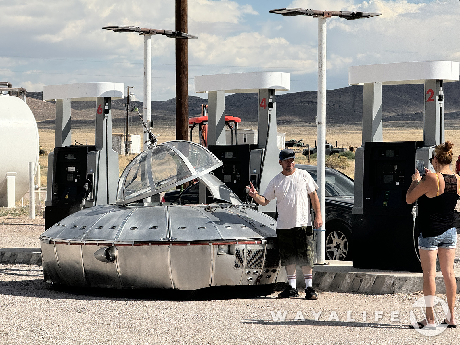
Of course, this is Rachel - what else would you expect to see here LOL
20240726085508-fca8a2b5.jpg


Is there really a better way to end an epic day of exploring the Nevada Desert?
20240726100622-c5e4c838.jpg


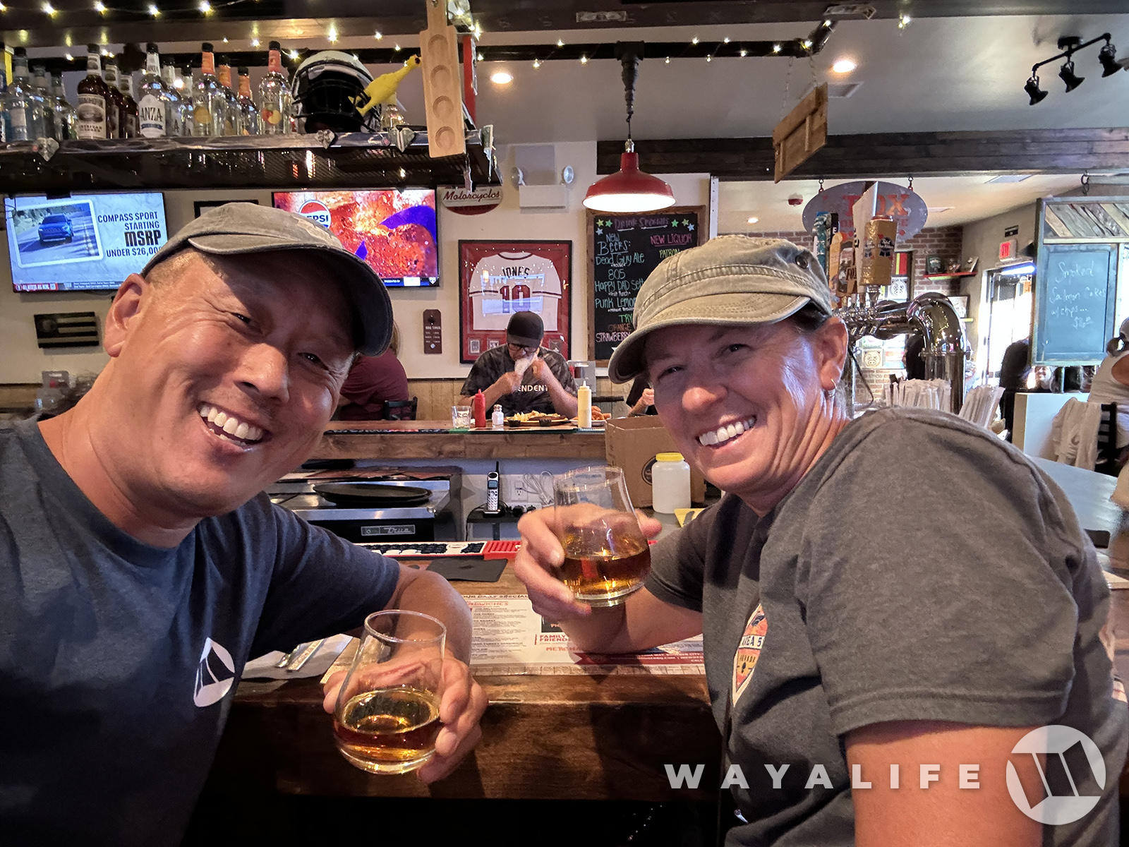
Last but not least, a BIG CHEERS to a great day!
20240726085532-ddd67d6e.jpg
 
Last edited:
Absolutely love the American history that can be found in the desert. I so want to do some more exploring within Nevada (probably when the temps cool down lol) and thank you for taking us along this one with these awesome pictures!
 
Top Bottom