sipafz
Caught the Bug
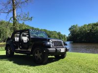
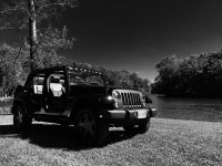
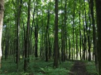
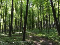
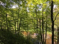
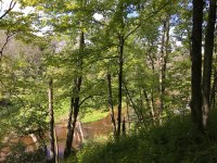
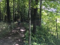
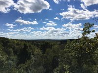
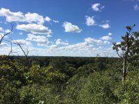
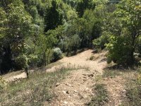
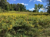
Just returned home from our 5 day camping trip to Hartman Creek State Park located near Waupaca, in central Wisconsin. We had a great time Jeeping, mountain biking, fishing, relaxing and living the Wayalife!
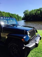
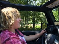
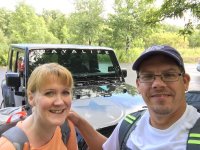
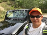
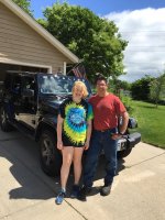
My navigator and I ready to start our adventure:
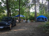
After a five hour back roads drive and a few stops, we made it to the park and set up camp:
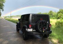
A brief rain shower rolled through, so we took a drive around the surrounding area:
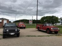
We stumbled across a couple of old International Harvester Fire Trucks. One was from the Chicago Fire Department and "All Wheel Drive":
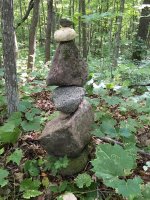
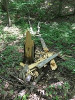
Day three had us heading Northeast two hours to Lakewood, Wisconsin for some off road fun. On the way we drove through the Menomonee Indian Reservation on Highway 55. This section of road has no posted speed limit for 20 miles of twist and turns. Unfortunately the Jeep doesn't handle like a sports car so 65 was our maximum speed. In the reservation we stopped at Spirit Rock. When I was a kid it was 2 feet tall. Now there is not much left:
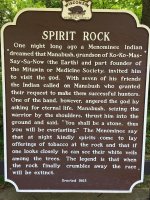
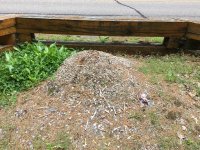
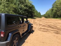
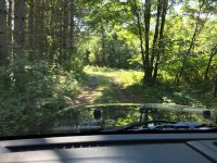
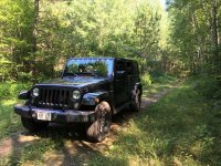
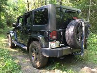
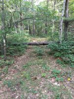
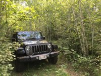
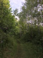
We intended on wheeling the "Pipeline" just East of Lakewood, and stopped at the Nicolet National Forest Office for a map. There we found out that many sections of the Pipeline were closed because of yahoos causing damage. The ranger was very helpful, marking our map with the closed areas. She also suggested many forest service roads that require 4 wheel drive to pass. We took her advice and had a blast exploring the National Forest:
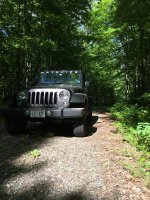
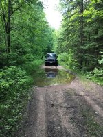
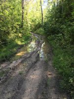
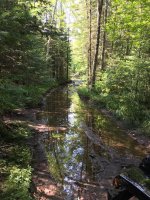
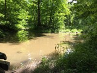
One trail we went down was really wet with many holes filled with knee deep water. We kept going until we came across this "pond" that was a good 100 feet long and couldn't tell how deep. Being by ourselves and without a winch, we decided to save that for a different day:
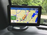
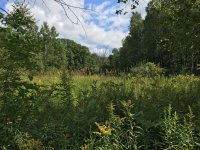
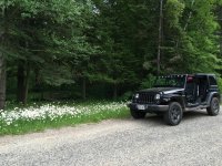
Toward the end of our trip we found ourselves on the road again exploring the countryside:
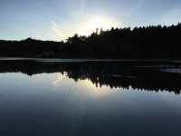
What a great trip!
My navigator and I ready to start our adventure:

After a five hour back roads drive and a few stops, we made it to the park and set up camp:

A brief rain shower rolled through, so we took a drive around the surrounding area:

We stumbled across a couple of old International Harvester Fire Trucks. One was from the Chicago Fire Department and "All Wheel Drive":

Day three had us heading Northeast two hours to Lakewood, Wisconsin for some off road fun. On the way we drove through the Menomonee Indian Reservation on Highway 55. This section of road has no posted speed limit for 20 miles of twist and turns. Unfortunately the Jeep doesn't handle like a sports car so 65 was our maximum speed. In the reservation we stopped at Spirit Rock. When I was a kid it was 2 feet tall. Now there is not much left:


We intended on wheeling the "Pipeline" just East of Lakewood, and stopped at the Nicolet National Forest Office for a map. There we found out that many sections of the Pipeline were closed because of yahoos causing damage. The ranger was very helpful, marking our map with the closed areas. She also suggested many forest service roads that require 4 wheel drive to pass. We took her advice and had a blast exploring the National Forest:


One trail we went down was really wet with many holes filled with knee deep water. We kept going until we came across this "pond" that was a good 100 feet long and couldn't tell how deep. Being by ourselves and without a winch, we decided to save that for a different day:

Toward the end of our trip we found ourselves on the road again exploring the countryside:


What a great trip!
Last edited:

