Jeeping Across America - Western Follies

Another awesome trip so far! Thanks for taking the time to document this, and giving us east coasters motivation to get out west
 
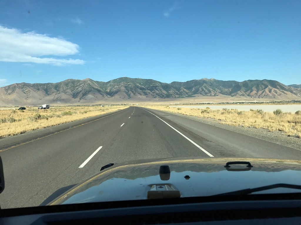
So once we packed on from the salt flats, we had to head back east towards Salt Lake City,
36999704386_58a7c27700_b.jpg


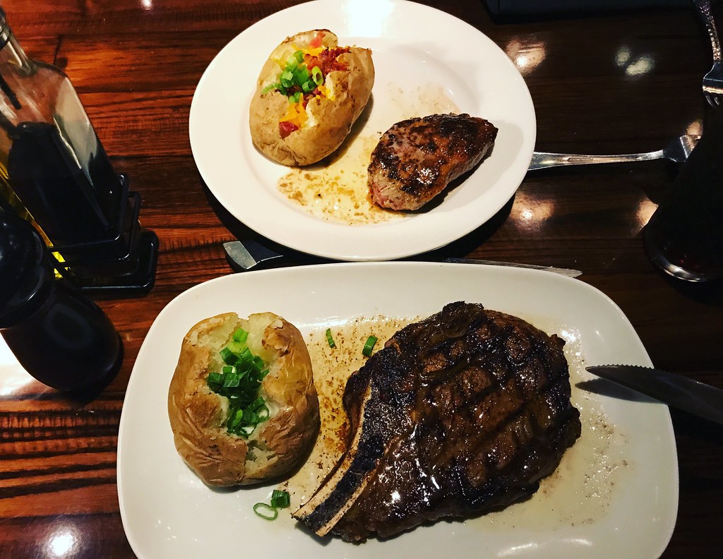
but didn't really have a plan of where to go, nor did we have anything booked for the night. We were fairly hungry, as we were just eating health bars throughout the day, so I was pretty happy when we passed by a Longhorn Steakhouse (which is actually pretty damn good for the money) so we can get a hot meal


His and Hers
36999704206_9a74800449_b.jpg


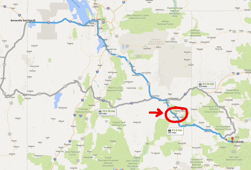
While we ate, we talked about a few options. I've been to all 5 of the "big 5" in Utah, but my wife has been to only 4, leaving just Capitol Reef National Park. She also wanted to go to the carribbean for this vacation, so she kind of wanted to swim as well, so we threw around going to Capitol Reef and Lake Powell. After a little more deliberation, she says she wouldnt mind going back to Colorado, especially since she's now on board with moving out there, and the fact that she had a great time the last time we were there...so both agreed that we can save a few days and have extra time to spend in Colorado, so looking at the map, if you look carefully, you'll understand why it didn't take much convincing to get me to agree with this plan.
36578396793_852a80972e_b.jpg


Passing through Moab meant that I can have a day to relax, maybe run a trail, before heading into the mountains....this plan would bring us into Moab at around 3am, far too late to camp, so we had to find a hotel for the night.

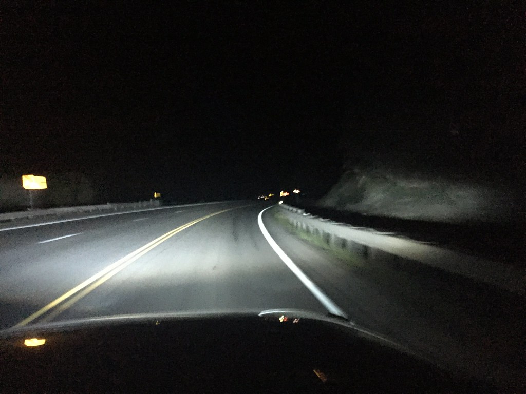
Driving was slow going, as it wasn't an interstate, but a dark and lonely B road with one lane in each direction with the occasional passing lane.
37017904332_26935d5fa5_b.jpg


We arrived in Moab in the middle of the night, found a cheap motel, booked 2 nights (hotel made us book for the night we checked in at 4am) and went to bed.

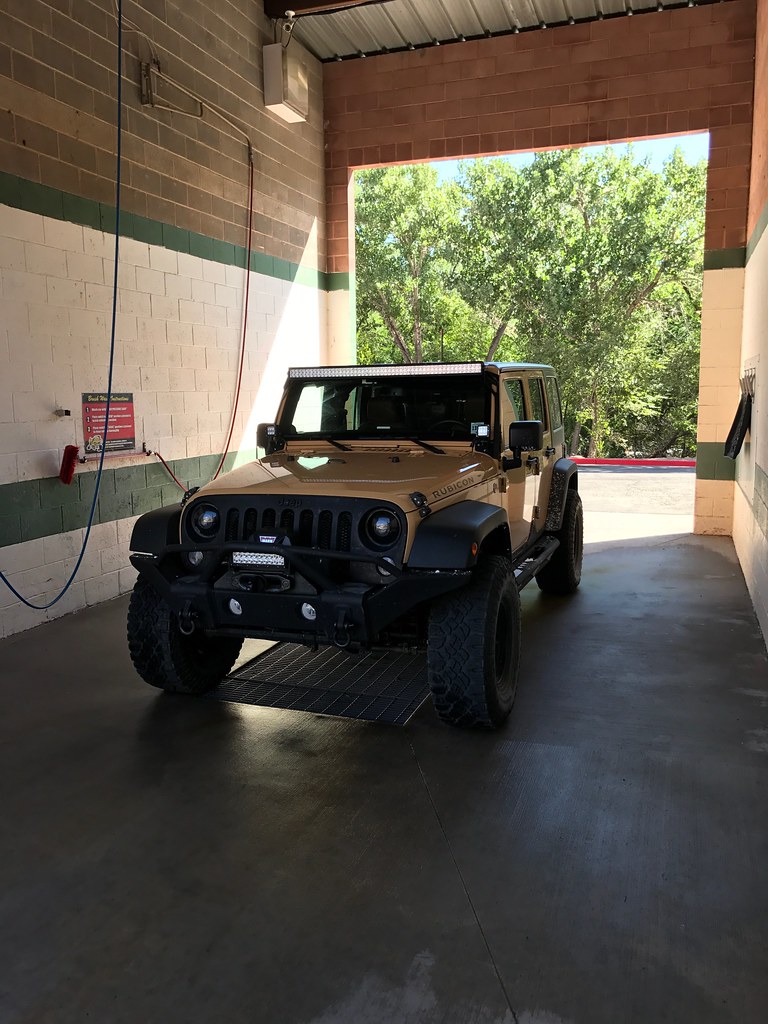
We woke up, and the first order of business was to get the salt off the Jeep. The guide at the Salt Flats told us to make sure we get it off ASAP, so I obliged.

Stopping by my favorite car wash in Moab
36999704046_0745e93b38_b.jpg


After that, we had breakfast along the colorado river...
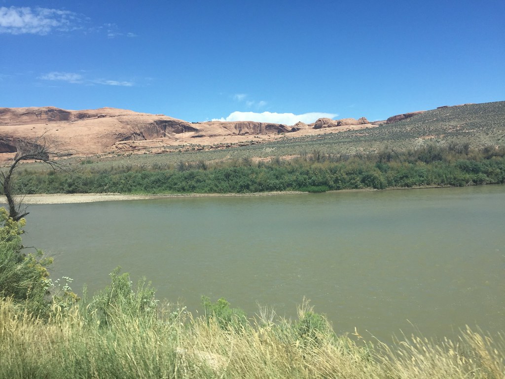
36999684546_abfd052093_b.jpg


on our way to run just 1 trail, a trail that I got blocked off from during my first year in Moab, Chicken Corners.

Trail starts as an easy graded road
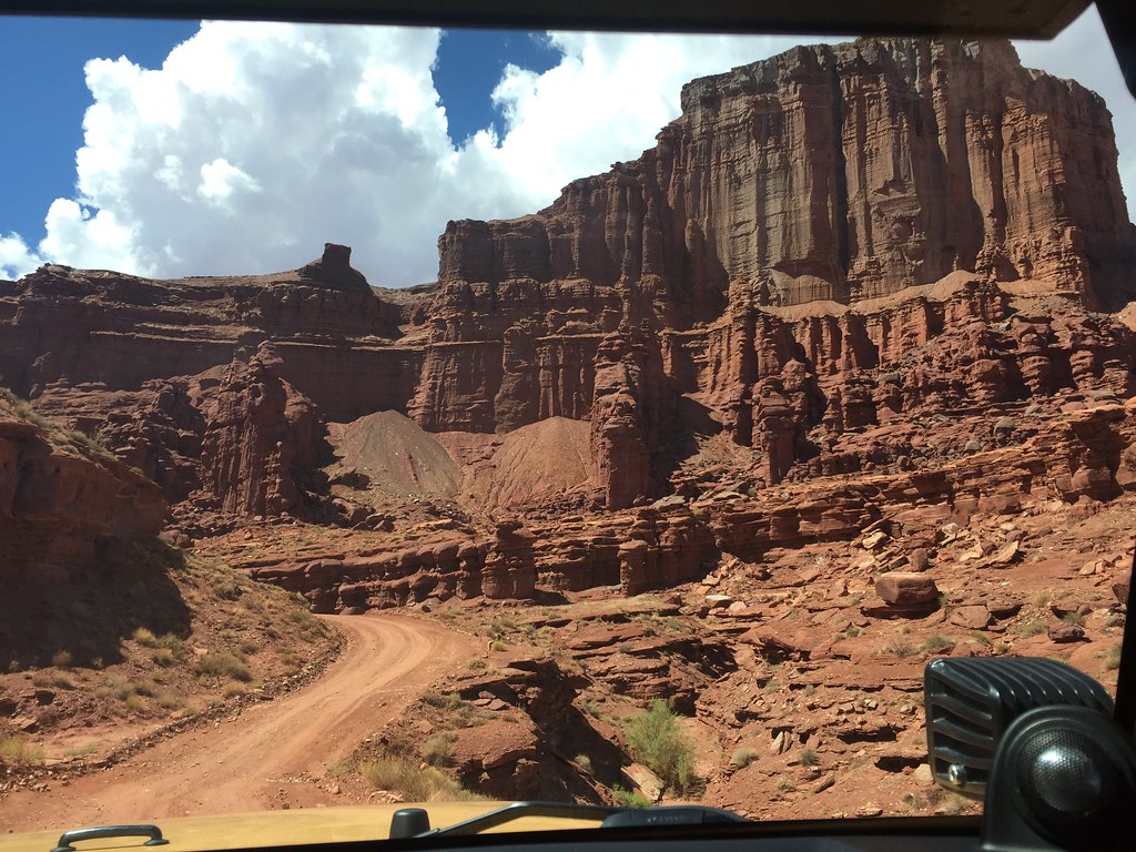
36792004640_0278408e34_b.jpg


But then quickly gets rocky and tippy as you climb
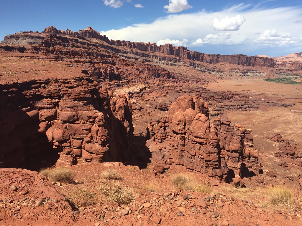
36999682586_5b379032b7_b.jpg


Wife was annoyed that the cliff edge is always on her side lol, and she asked me why the trail was called "Chicken Corners"...well, the answer is that a few of the turns towards the top are very off camber and they make the Jeep lean towards the cliff face, and it's pretty damn unnerving.

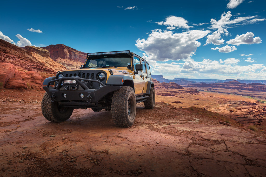
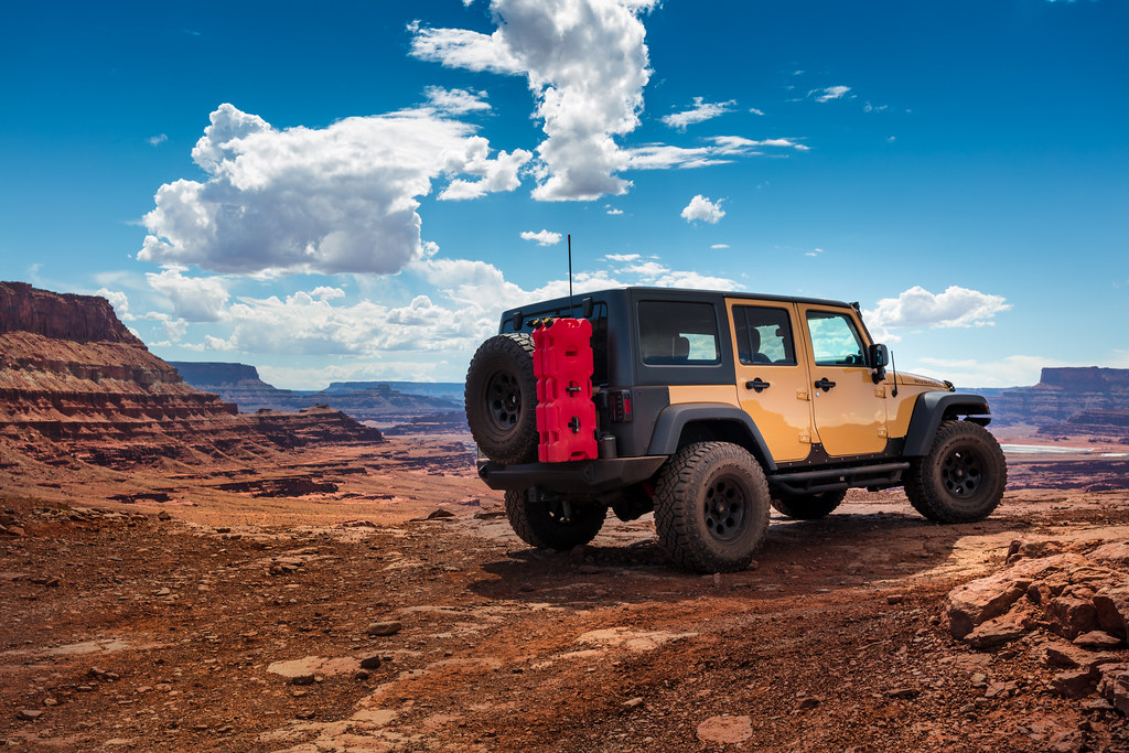
Finally, as you crawl your way to the top, you are rewarded with a great view
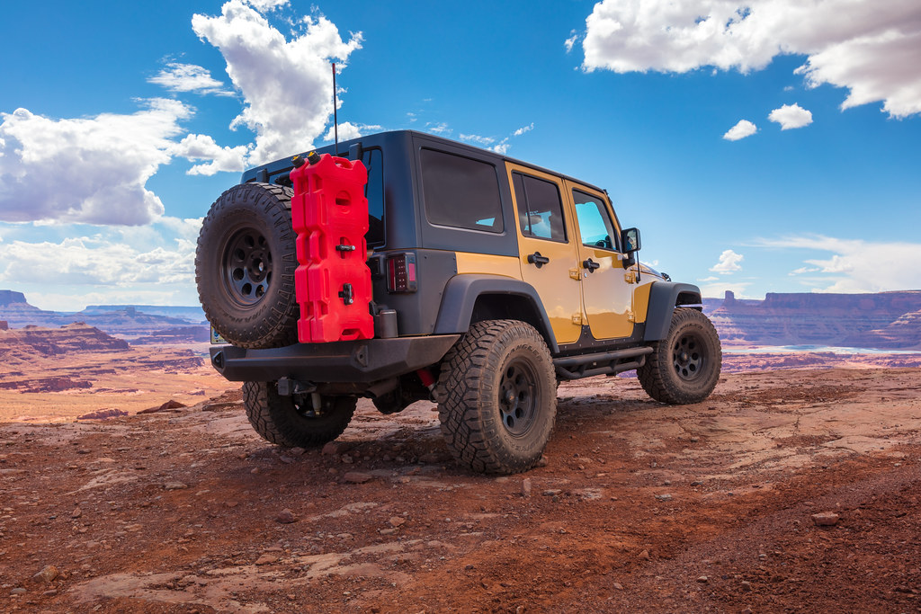
37008885456_2e5cd92ed5_b.jpg


36248261933_1237f4f59d_b.jpg


36914515121_bb1b2dd798_b.jpg


We wanted to have a little lunch up here and relax, but the weather had other plans. It started to drizzle, and then some nasty looking storm clouds rolled in. I know from reading the trail book (as well as my own experience from 4 years ago) that you can get trapped on this trail, as rain quickly turns the exit of this trail into a river, and then you are basically stuck here until the river subsides.

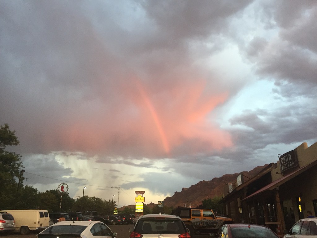
My instinct was right, as soon as be got past the point of being trapped, it started to pour, and it would have certainly trapped us. We drove down to the Moab brewery for an early dinner, and just as we pulled up, the rain stopped, and the sunset started peeking through.
36999681076_c1bde204e4_b.jpg


We relaxed the rest of the evening, walking around town, wife was visiting the gift shops, and then we called it a day, for tomorrow, we head into Colorado.
 
So once we packed on from the salt flats, we had to head back east towards Salt Lake City,
36999704386_58a7c27700_b.jpg


but didn't really have a plan of where to go, nor did we have anything booked for the night. We were fairly hungry, as we were just eating health bars throughout the day, so I was pretty happy when we passed by a Longhorn Steakhouse (which is actually pretty damn good for the money) so we can get a hot meal


His and Hers

36999704206_9a74800449_b.jpg


While we ate, we talked about a few options. I've been to all 5 of the "big 5" in Utah, but my wife has been to only 4, leaving just Capitol Reef National Park. She also wanted to go to the carribbean for this vacation, so she kind of wanted to swim as well, so we threw around going to Capitol Reef and Lake Powell. After a little more deliberation, she says she wouldnt mind going back to Colorado, especially since she's now on board with moving out there, and the fact that she had a great time the last time we were there...so both agreed that we can save a few days and have extra time to spend in Colorado, so looking at the map, if you look carefully, you'll understand why it didn't take much convincing to get me to agree with this plan.

36578396793_852a80972e_b.jpg


Passing through Moab meant that I can have a day to relax, maybe run a trail, before heading into the mountains....this plan would bring us into Moab at around 3am, far too late to camp, so we had to find a hotel for the night.

Driving was slow going, as it wasn't an interstate, but a dark and lonely B road with one lane in each direction with the occasional passing lane.

37017904332_26935d5fa5_b.jpg


We arrived in Moab in the middle of the night, found a cheap motel, booked 2 nights (hotel made us book for the night we checked in at 4am) and went to bed.

We woke up, and the first order of business was to get the salt off the Jeep. The guide at the Salt Flats told us to make sure we get it off ASAP, so I obliged.

Stopping by my favorite car wash in Moab

36999704046_0745e93b38_b.jpg


After that, we had breakfast along the colorado river...
36999684546_abfd052093_b.jpg


on our way to run just 1 trail, a trail that I got blocked off from during my first year in Moab, Chicken Corners.

Trail starts as an easy graded road

36792004640_0278408e34_b.jpg


But then quickly gets rocky and tippy as you climb

36999682586_5b379032b7_b.jpg


Wife was annoyed that the cliff edge is always on her side lol, and she asked me why the trail was called "Chicken Corners"...well, the answer is that a few of the turns towards the top are very off camber and they make the Jeep lean towards the cliff face, and it's pretty damn unnerving.

Finally, as you crawl your way to the top, you are rewarded with a great view
37008885456_2e5cd92ed5_b.jpg


36248261933_1237f4f59d_b.jpg


36914515121_bb1b2dd798_b.jpg


We wanted to have a little lunch up here and relax, but the weather had other plans. It started to drizzle, and then some nasty looking storm clouds rolled in. I know from reading the trail book (as well as my own experience from 4 years ago) that you can get trapped on this trail, as rain quickly turns the exit of this trail into a river, and then you are basically stuck here until the river subsides.

My instinct was right, as soon as be got past the point of being trapped, it started to pour, and it would have certainly trapped us. We drove down to the Moab brewery for an early dinner, and just as we pulled up, the rain stopped, and the sunset started peeking through.
36999681076_c1bde204e4_b.jpg


We relaxed the rest of the evening, walking around town, wife was visiting the gift shops, and then we called it a day, for tomorrow, we head into Colorado.
Good times!

back in the late 80', my buddy and I drove his truck out in the Great Salt Lake - back when the beach was clean and the Saltair Pavilion was functioning.

The truvk floated great and with the oversized tires on it we could maneuver around pretty good lol...however, the rust and corrosion that hit that truck within 2 weeks was unbelievable!

Moab! some of those trails get scary slick when it rains, not to mention the mini flash floods. It's always amazed me how quickly water moves even with a small amount of rain.
 
Great pictures, can't wait to see what happens in Colorado! This is starting to be like a TV series... lol.
 
Great pics - this is a really nice thread.

So, how fast did you get the ol Jeep up to on the salt flats? A couple hunnerd? :brows:
 
We wake up the next morning and begin our drive into Colorado....

36999679116_c4e5fd7a43_b.jpg


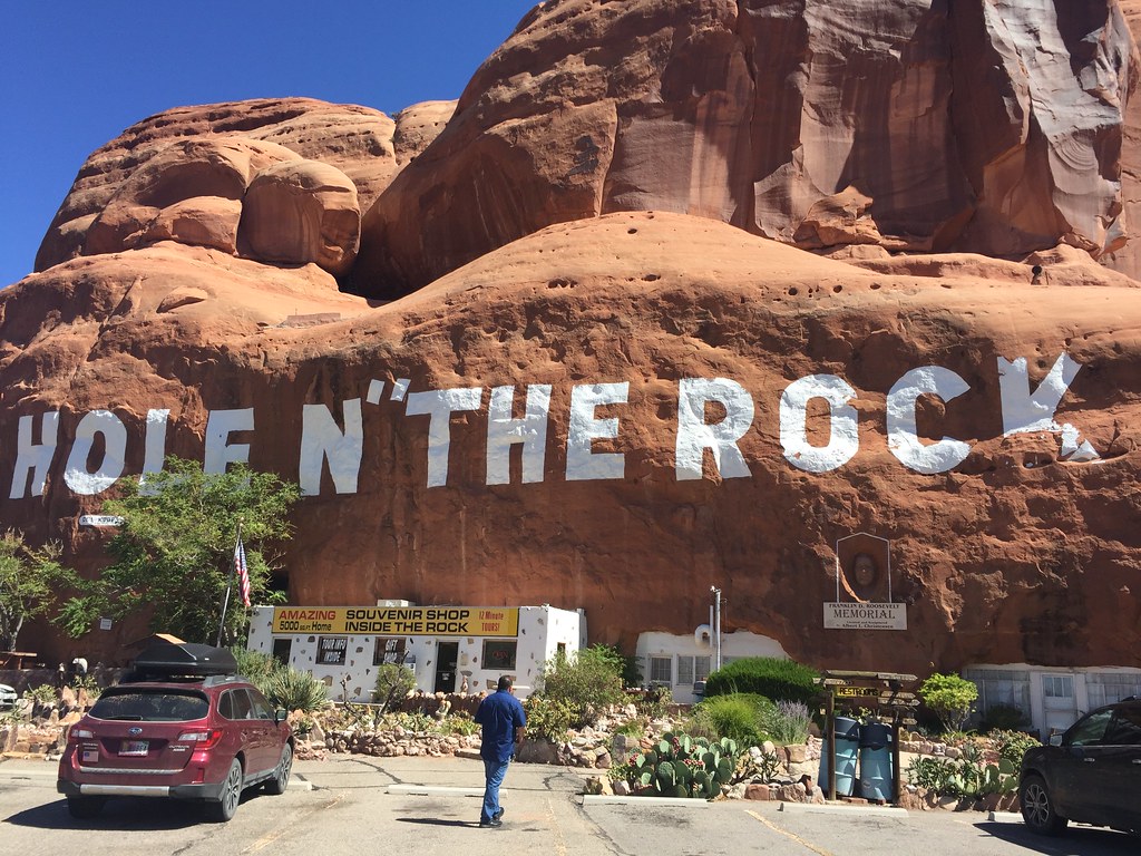
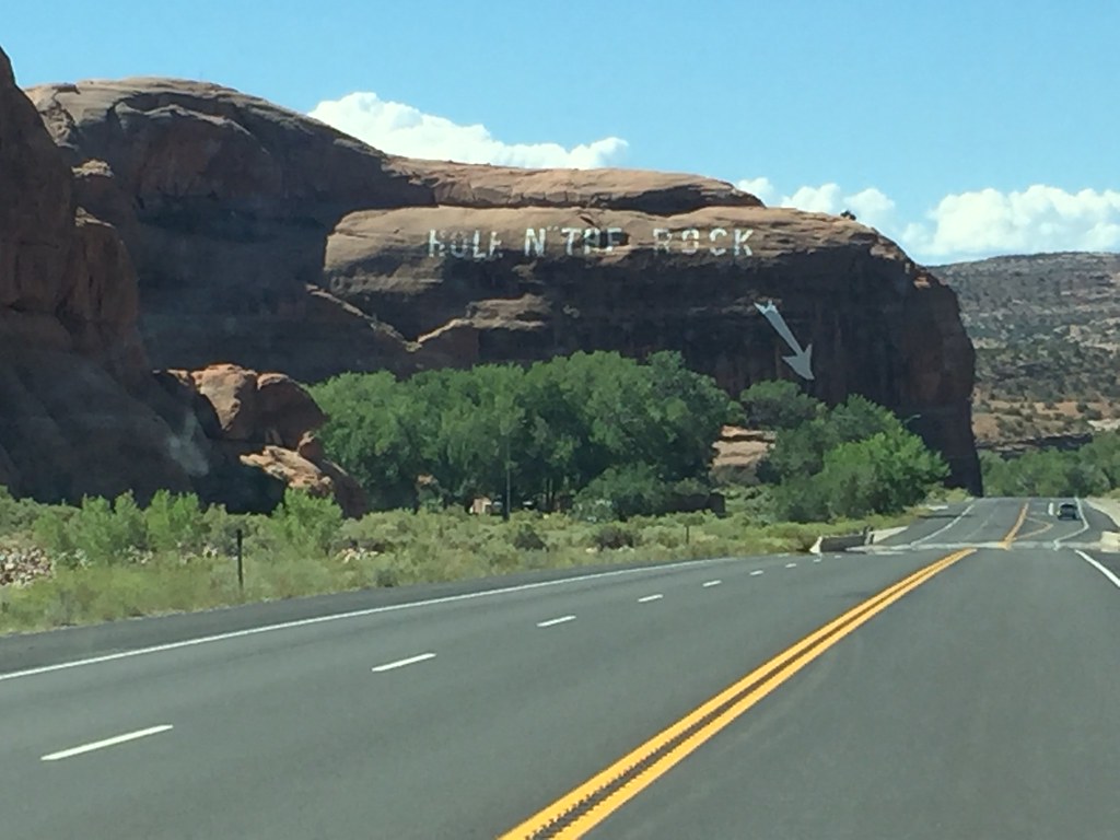
When my wife and I first met, we actually took a trip to Vegas, and included some canyons in the trip, and stumbled upon this place....and decided to stop by for some photos nearly 9 years later, for nostalgia sake

36999678896_d7a468d80d_b.jpg


Those that have been in Moab will surely recognize it, but for those that don't the "Hole in the Rock" used to be a small home of a couple in the 20s. The home belonged to Albert and Gladys Christensen, that over the span of 12 years carved/blew up a 5000 square foot home inside, as well as an operational diner, and would serve the multiple of uranium and copper miners. The place has been bought and sold a few times, but tours still run to this day, and it's worth the few bucks to stop and check it out.

36999678666_d292a8ce15_b.jpg


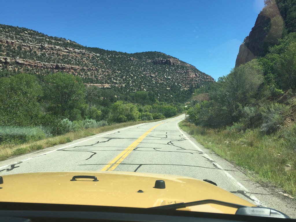
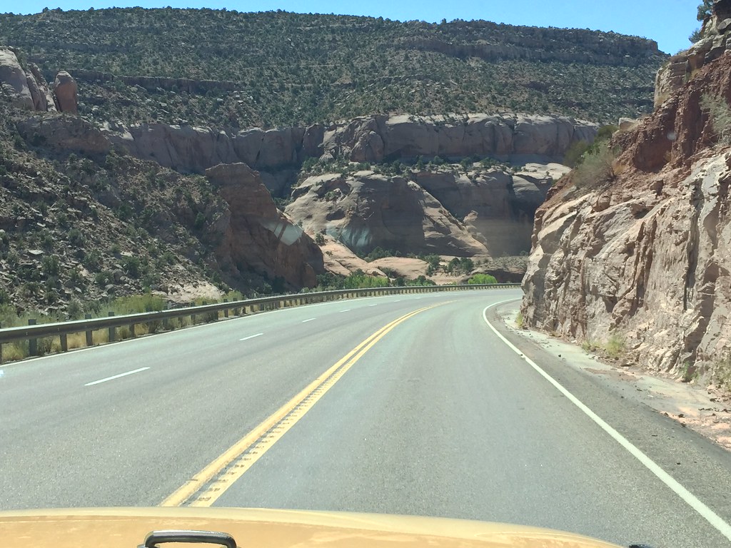
We continued onwards, slithering through the canyons (some of the best sports car roads you will find anywhere)

36999678116_6dcbc4e779_b.jpg


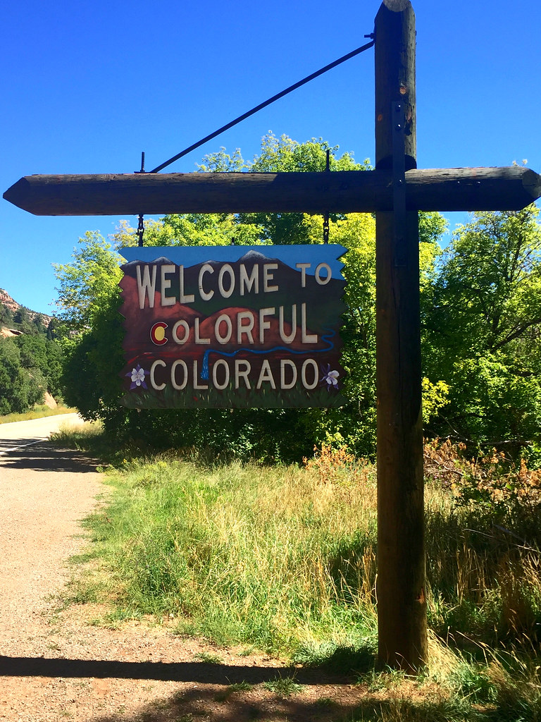
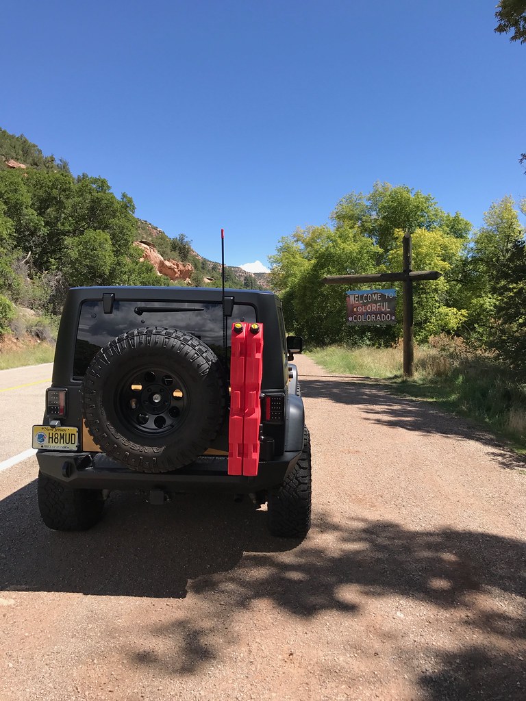
until we finally cross a very understated and sudden state line

36999677536_6f7fb05875_b.jpg


37189615715_fae7a538db_b.jpg


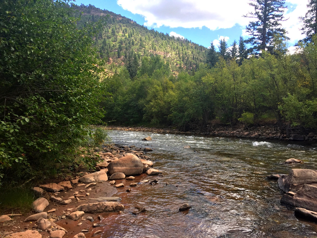
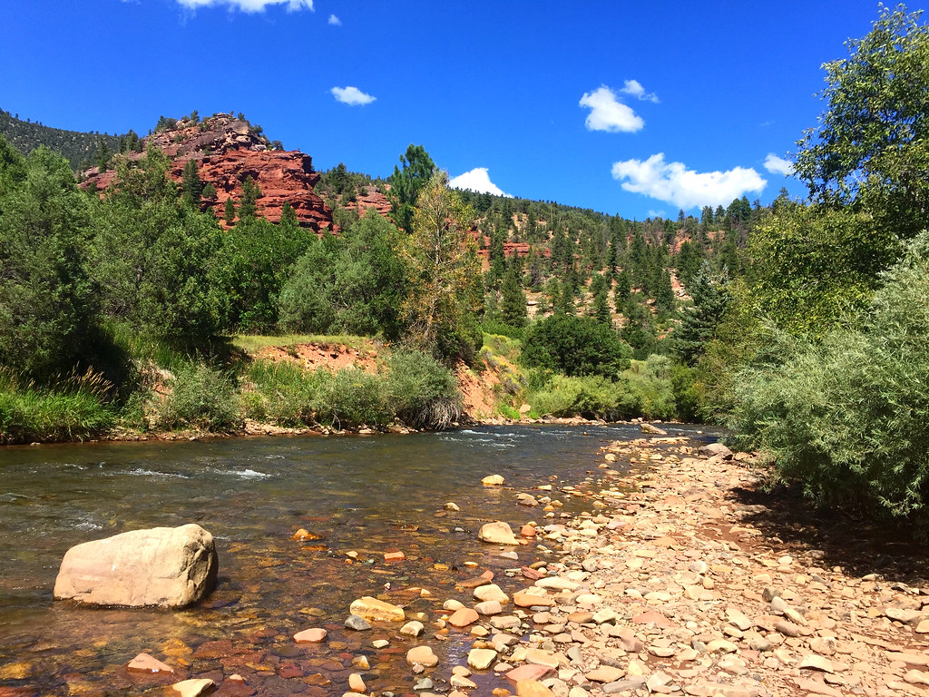
Once we got into colorado, I really wanted to do some fishing in the pristine waters. Im no fisherman, nor have I ever went fly fishing, but I did want to give it a try....so we looked at a map, and followed a route to the San Miguel river and had a little bit of R&R.

37047306061_bf755ace4e_b.jpg


After a little bit of fishing (water was pretty chilly) it was time for lunch

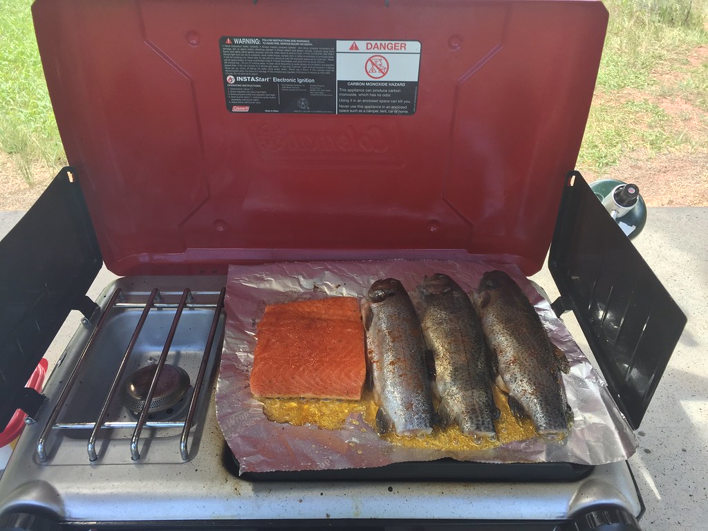
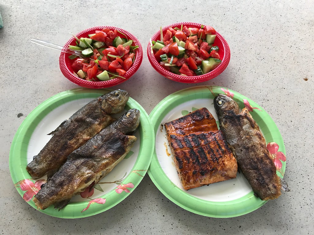
Usually I have steaks, but this time, we had a little bit of salmon that I still had from Moab and some delicious rainbow trout.

37047324471_0639090c56_b.jpg


Everything did come out delicious if I may say so myself,

37189614985_9631e32d4c_b.jpg


And it was a superb place to kick back for a little while, enjoy some fresh air, and just take in the quiet with the serenity of the flowing river in the background.

37189614445_cbd5ac5497_b.jpg


36999667956_132274ddc8_b.jpg


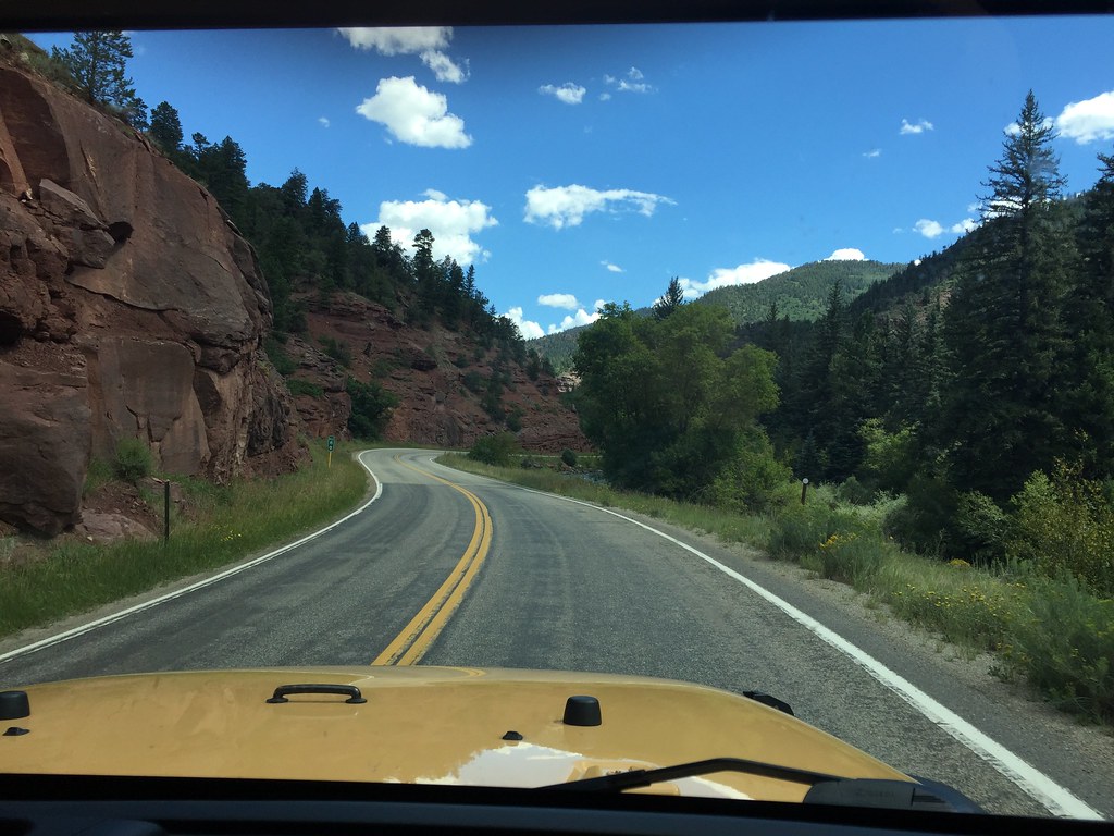
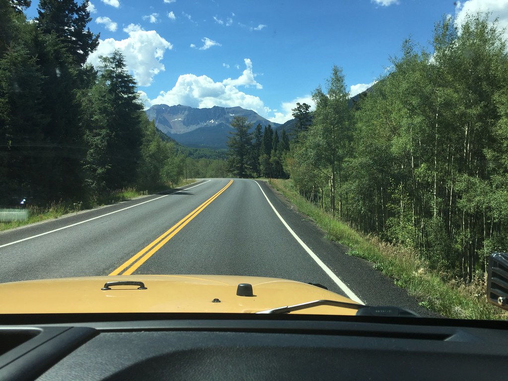
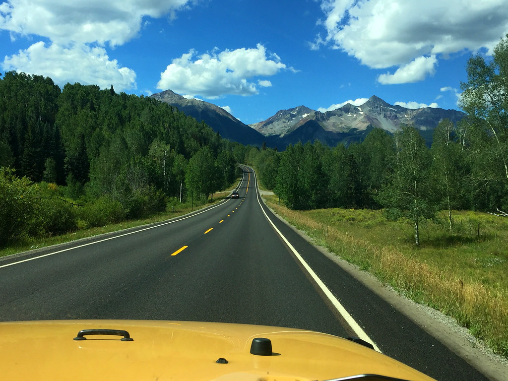
After our lunch, we packed up, cleaned up, and headed out, as we still had a long drive, some through awesome twisties

37017895062_6a56640899_b.jpg


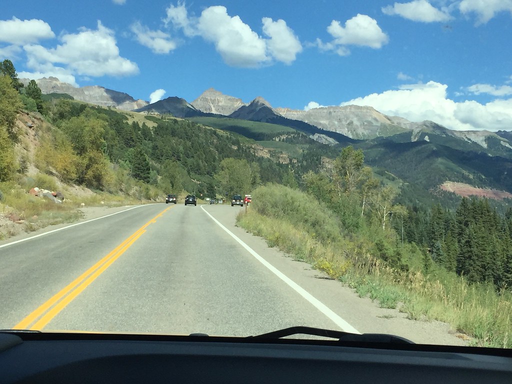
And the rest painfully climbing a very tall mountain (I can't wait until the new Wrangler has 8 gears instead of 5)

37017892762_6cc08a23d4_b.jpg


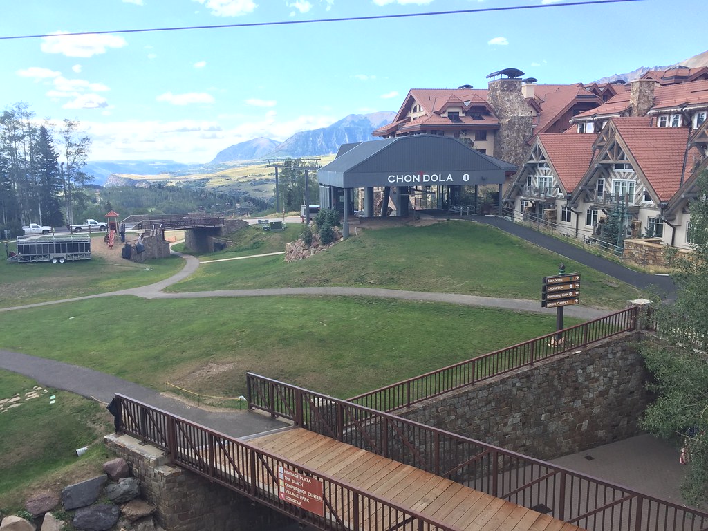
But we finally made it to our destination in Telluride just as the sun was beginning to set. We got a smoking deal on Kayak (technology really made travel like this easy and possible, with you being able to book the room literally a few minutes before arriving, and it's currently the ONLY way we travel, regardless of where/how we go, saves a lot of money too) for a superb 5 star hotel in Telluride Village (the ultra exclusive/luxurious part of telluride on the side of the mountain) for the Inn at Lost Creek..really a terrific hotel, and the views were to die for

37017891702_06e85cbc85_b.jpg


We took advantage of their reservation only rooftop hot tubs and soaked our stiff limbs, and then went to dinner in the village. Our original plan was to spend the night here, do some trails and then head to Vail, then Aspen, then home, but we liked it so much we decided to spend the rest of our time in Colorado right where we were, which didn't bother me since all the awesome trails are around these parts anyway! :D
 
Awesome trip! We were wanting to go visit Yellowstone as well when we went up to Wyoming in august, but decided not too. As for the tree. I believe it is a cell phone tower. My uncle installs them in Vegas, but they usually look like palm trees.


Sent from my iPhone using WAYALIFE mobile app
 
The tree is a sculpture by a Swedish artist. It is titled,Metaphor, The Tree Of Life.It was located next to an interstate without an exit. Doh!Stopping is illegal, no parking.

Sent from my LG-P769 using WAYALIFE mobile app
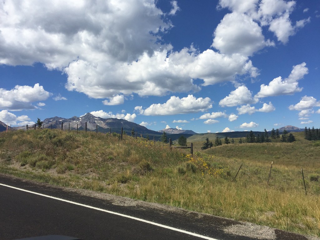
 
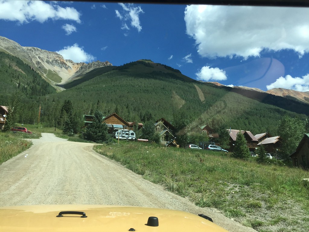
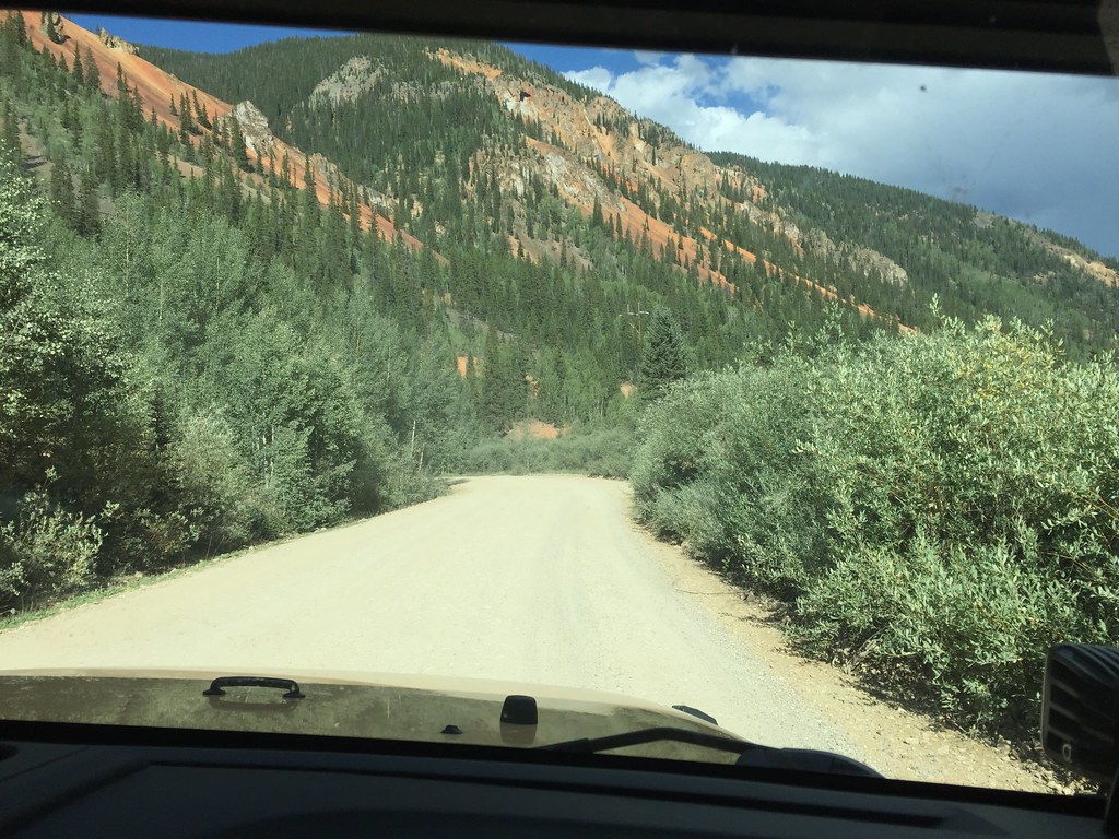
So all the long driving and the constant plan changing has been tiring us out, so we were excited to just relax for the few days we had left, and enjoy the Colorado scenery. We once again discussed moving here, what we were going to do for work, where we would live, and both of us agree that it's going to be an exciting new chapter in our lives. We woke up refreshed and were eager to start the day. My wife really wanted to go shopping in Silverton, she liked the stores there, so I obliged...this of course also gave me the opportunity to get there by going over a mountain, so we got dressed and headed out.

37047298461_ee43518dd5_b.jpg


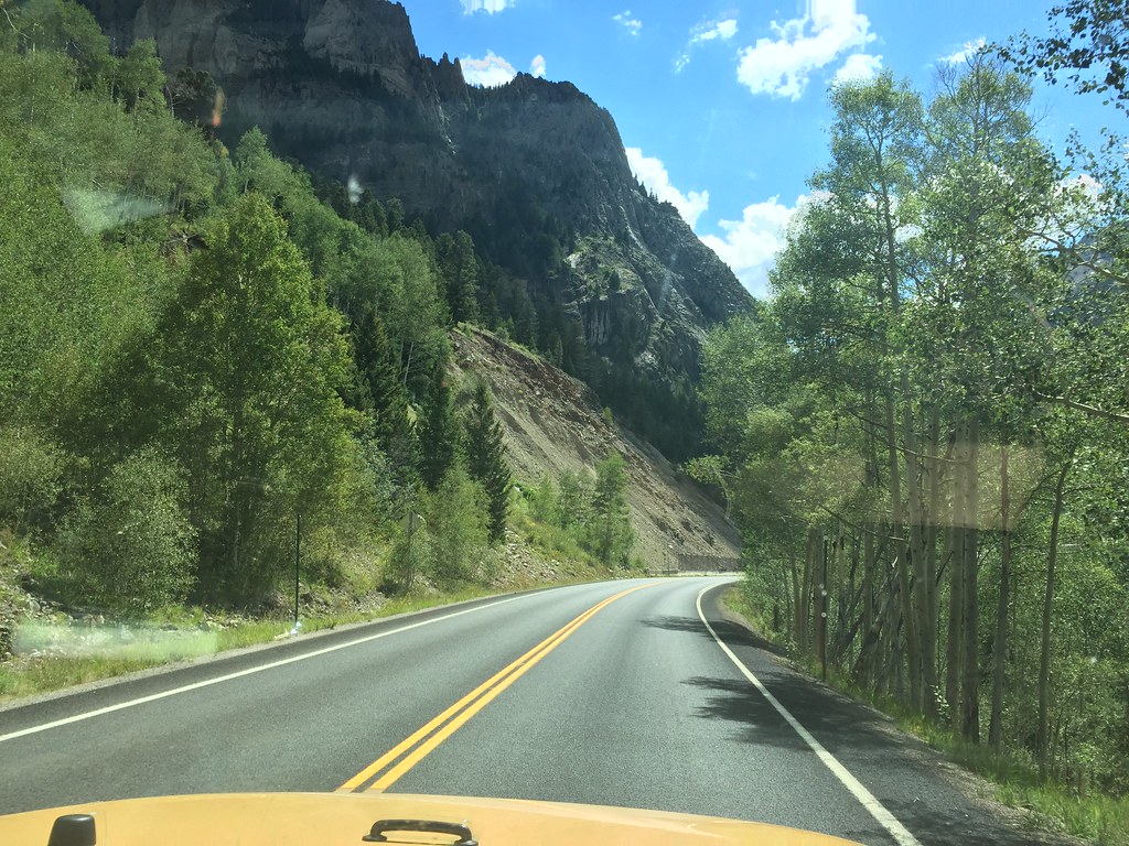
The road is scenic in any direction you look

37047297141_6fea81b215_b.jpg


37047296451_2372be7385_b.jpg


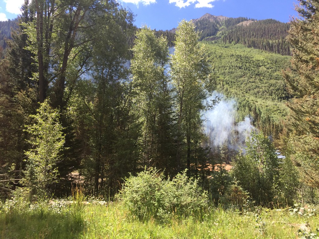
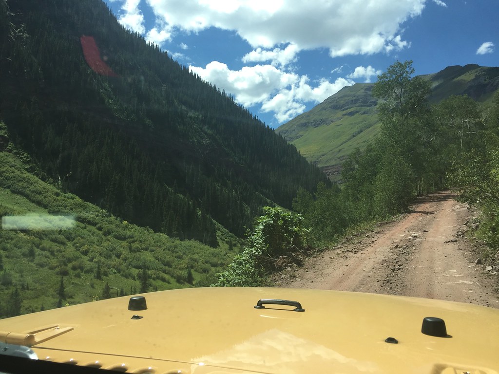
As we pulled off the paved road and onto the dirt track leading into the town, we smelled what we thought was a wildfire, but as it turned out, it was just a construction crew burning wood

36352750744_06dae351a6_b.jpg


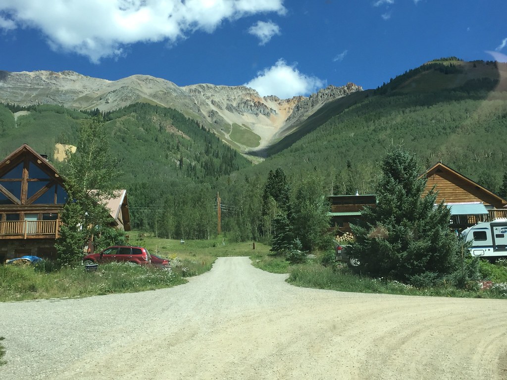
As you head into this tiny town, it makes you wonder how people live up here in the winter time, the amount of snow they get must be measured with a 10' pole, and it's not as if the local plows come up here

36352749554_637bdb7fed_b.jpg

36352749344_9651ba0093_b.jpg


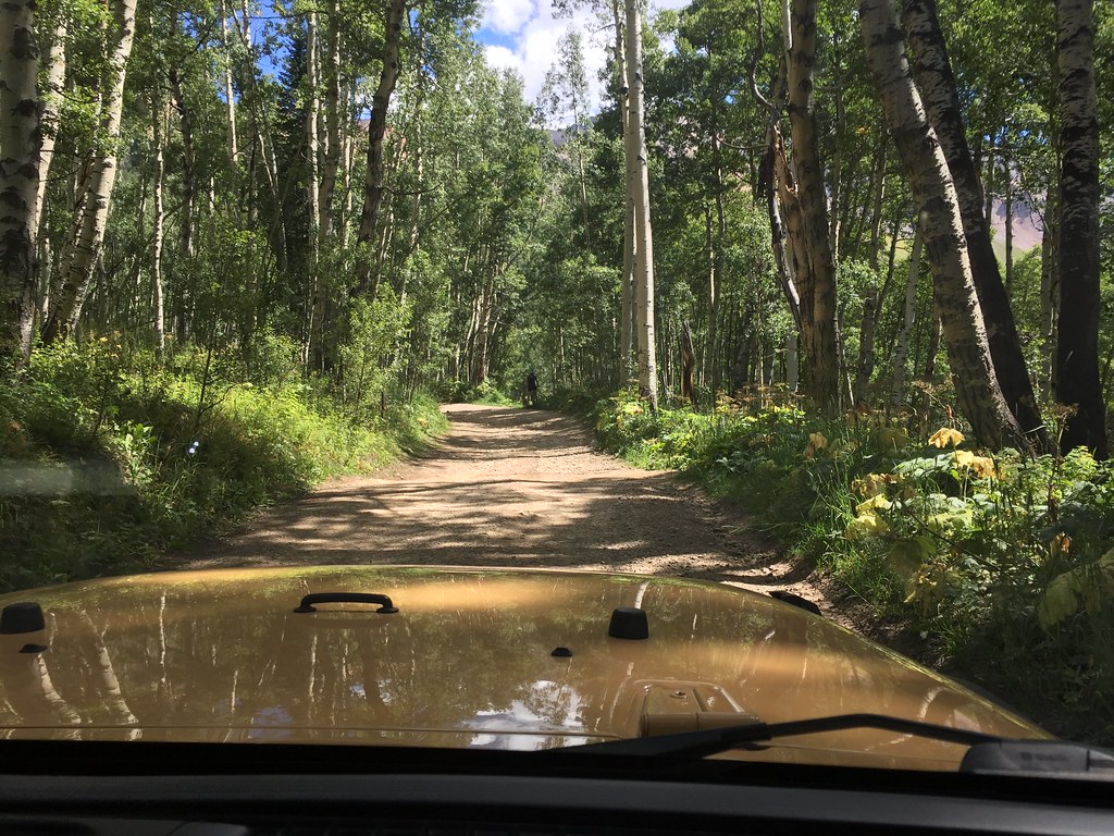
The town folk have seized on the opportunity to capitalize off of all the 4 wheeling tourists, so you see a lot of stands right in front of their house for lemonade, t shirts, trinkets, etc. I bought an Ophir Pass tshirt from a little kid, do my part of contributing to the local economy. :) Once you pass the town, you enter the tree line with all the insects

36352749184_a3aca085c0_b.jpg


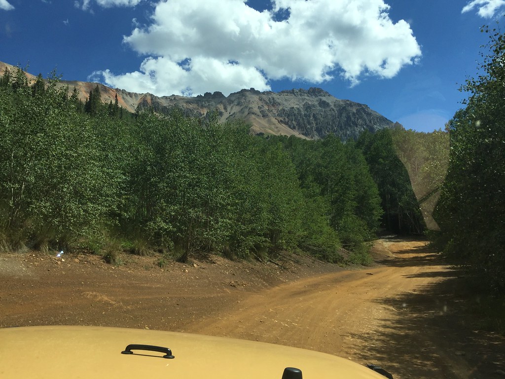
Then you quickly ride above the tree line

36352748514_36eaa5f7b5_b.jpg


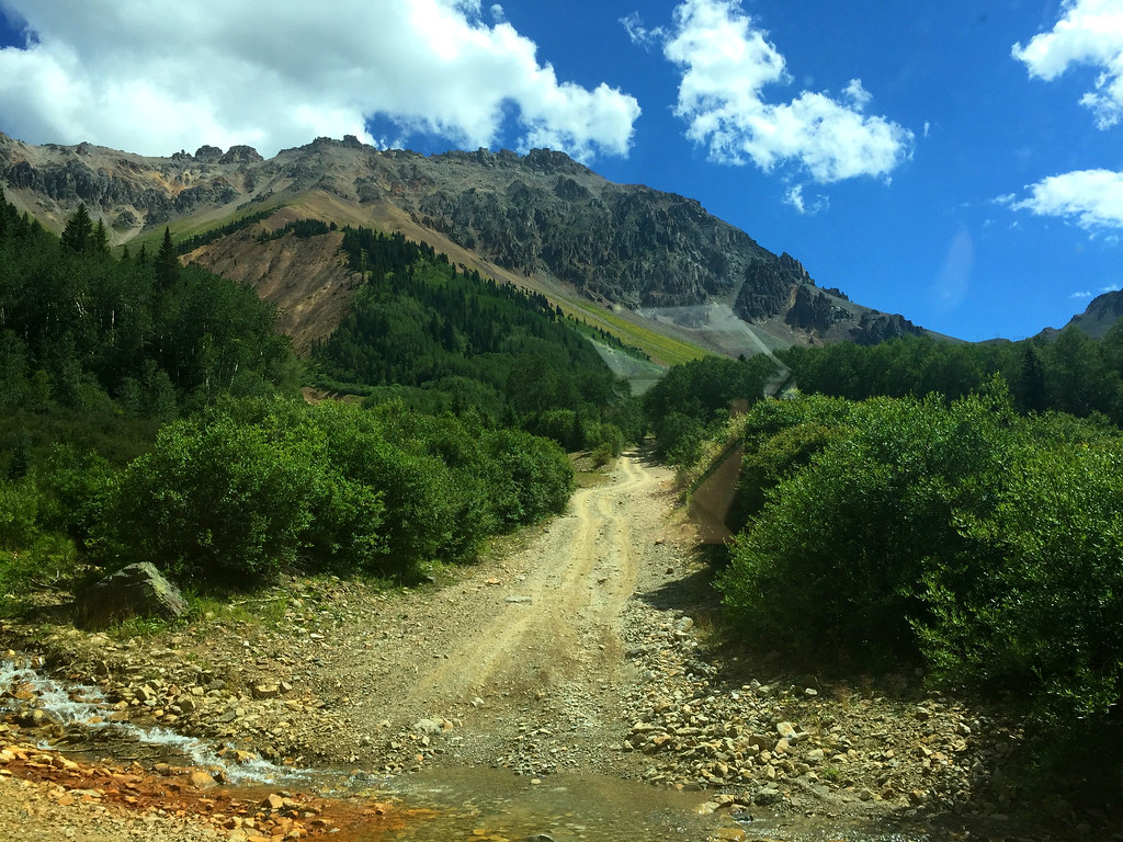
The snowmelt is almost all gone, but there are a few creeks that are left flowing, which was a plus, since I can say I've actually had some water crossings on this trip :)

36352748374_7cb4397c07_b.jpg


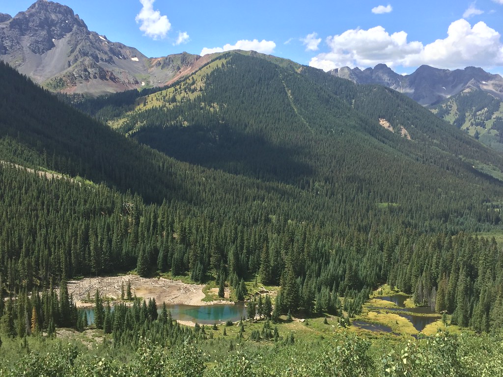
Once you get high enough, a few alpine lakes come into view

36791983260_0087efc663_b.jpg


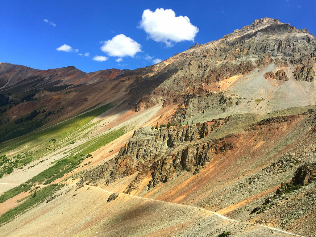
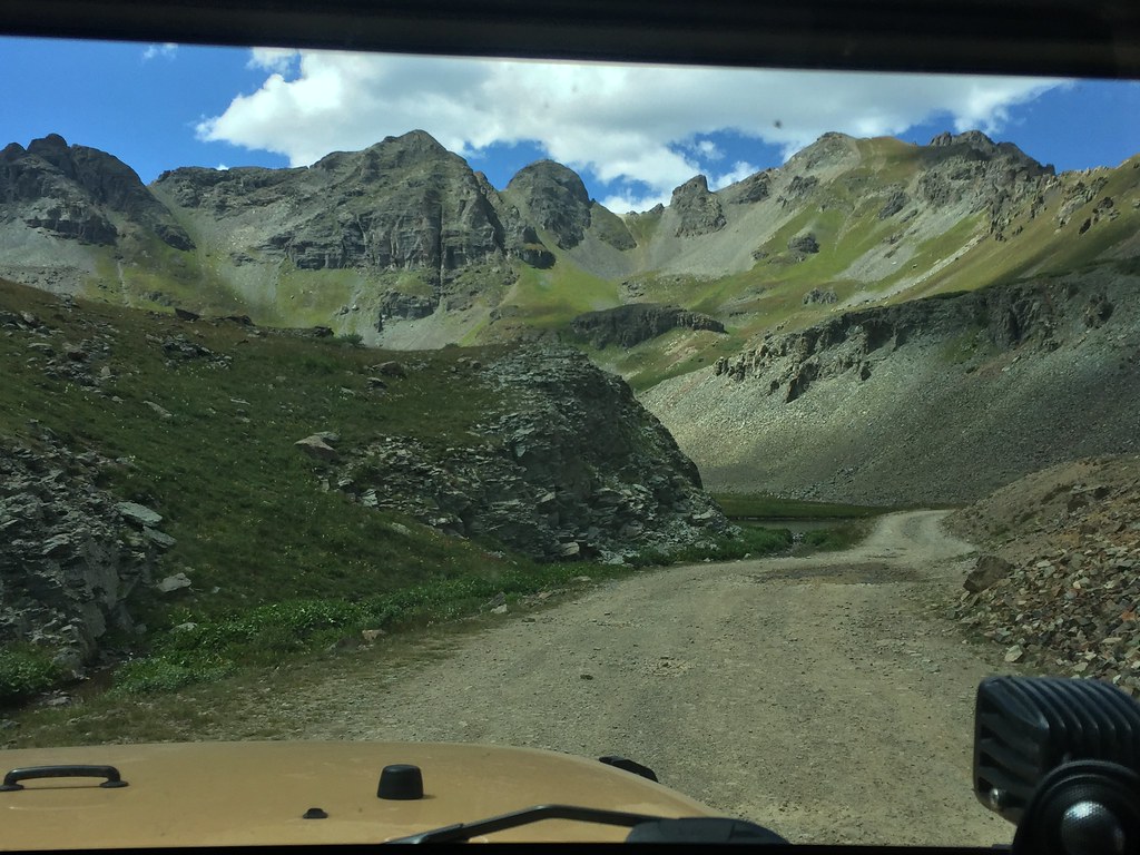
Finally when you really get above the tree line, you are rewarded with the true magnificence of the San Juan mountains

37047281241_7e646df0ea_b.jpg
 
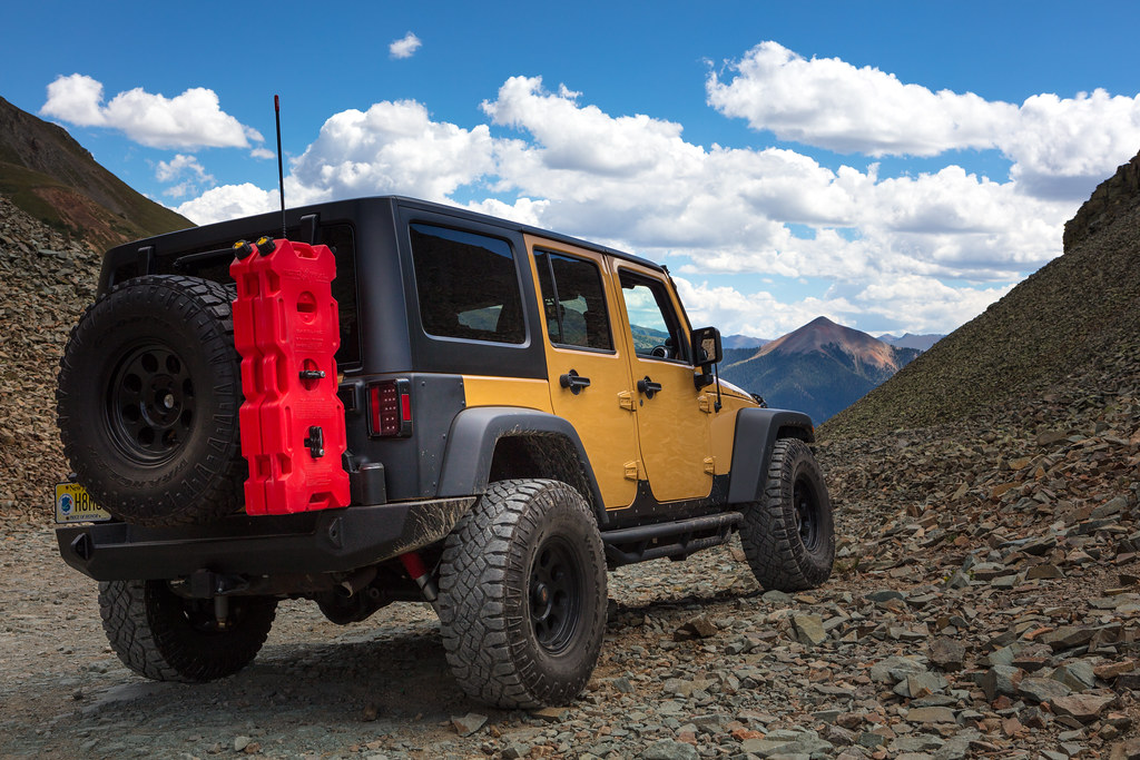
As you climb higher, the trails turns quickly from fairly easy, to dangerous (not so much difficult.) The rocks are fairly large, they are sharp, and they are extremely loose. They are constantly shifting, making the vehicle seem like it's sinking in some spots. It also has the weird effect of acting like ice, making the rear end dance around and slide, not too pleasant when you have in spots, 1-2 feet of space before a tire slips off the edge. My wife managed to snag a little bit of footage when we were climbing the final leg towards the summit.


Just recently, a family in a rental Jeep rolled off one of these trails, and have to be med-evaced out by helicopter. Inexperience on these trails can really lead to serious issues, and I myself have run across quite a few of them on the trail.

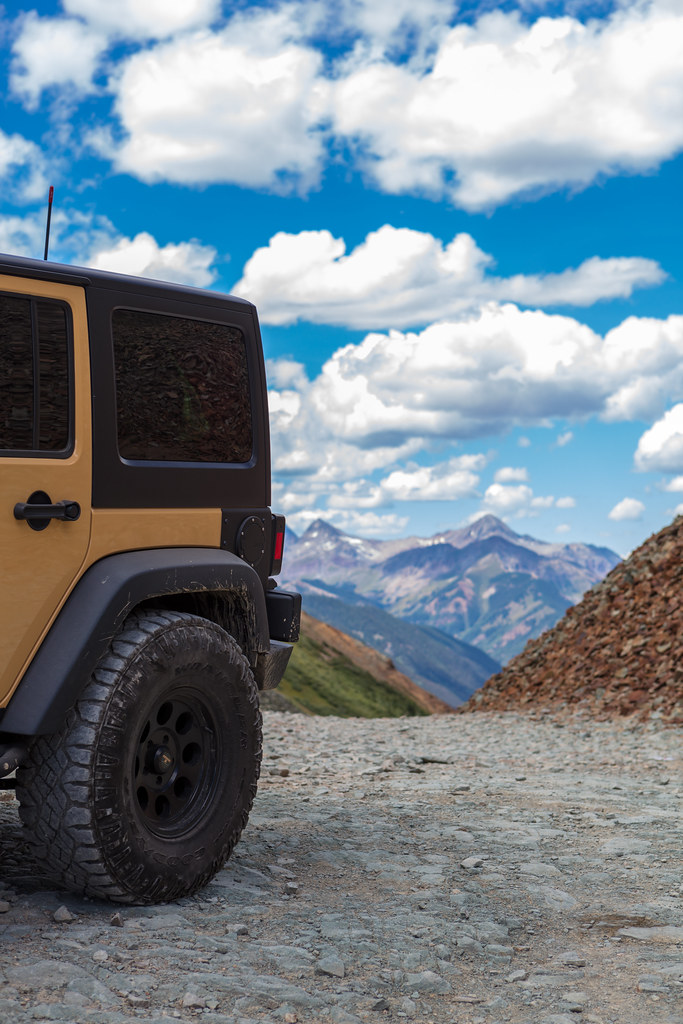
The top of the trail brings you between two peaks

Looking back at Telluride

36606235104_a95f9ebfe4_b.jpg


37008884916_878956c0df_b.jpg


36606235774_1cbf11f44a_b.jpg


And somewhere in the distance is the town of Silverton.

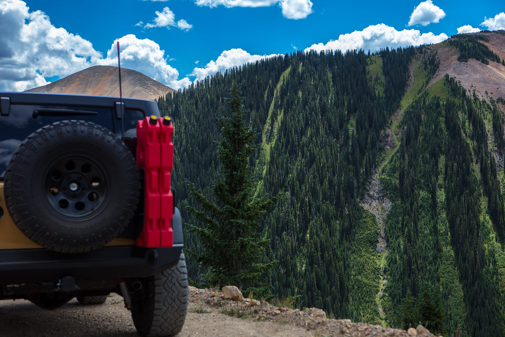
As we descend, we stop and admire the views once more, and you can see the empty channels where snowmelt in the spring would turn them into a raging cascade of alpine water.

36606234484_ee92a6af53_b.jpg


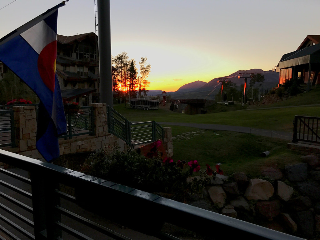
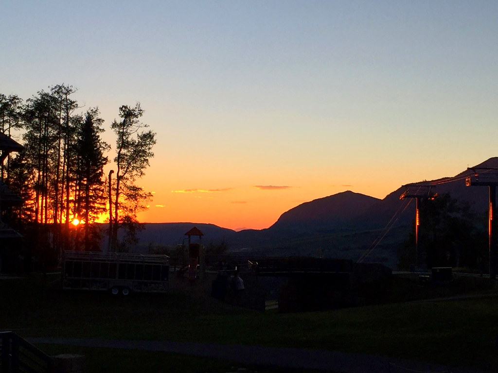
After we enjoyed a little time in Silverton, we headed back towards our hotel (a 2 hour drive on pavement through the windy mountain roads) but we made it just in time for a beautiful sunset. Tomorrow would be our final day before we had to start our trip back home.

37017911032_34620a2723_b.jpg
 
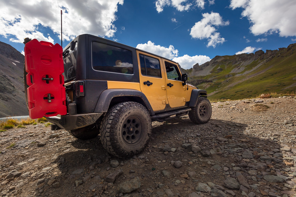
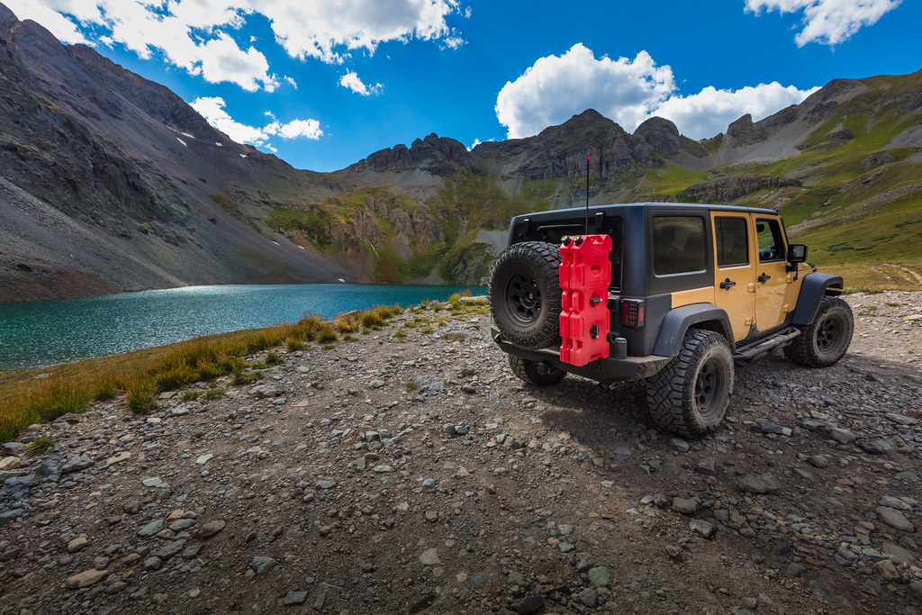
On our final day, we just wanted to relax a bit, and while earlier in the trip, we planned on doing the hanging lake hike one more time, since we weren't going to be near Vail, we decided to find a nice mountain lake to relax near and enjoy a nice afternoon. So after doing some research, we decided to head to clear lake, which was 12000' high surrounded by mountains on all sides, and is actually pretty well hidden.

We first had to follow a dirt road for a few miles,
36352740344_16ed99e295_b.jpg


until you had to find a turnoff that was heavily hidden in some brush

37017878622_db86b75ea4_b.jpg


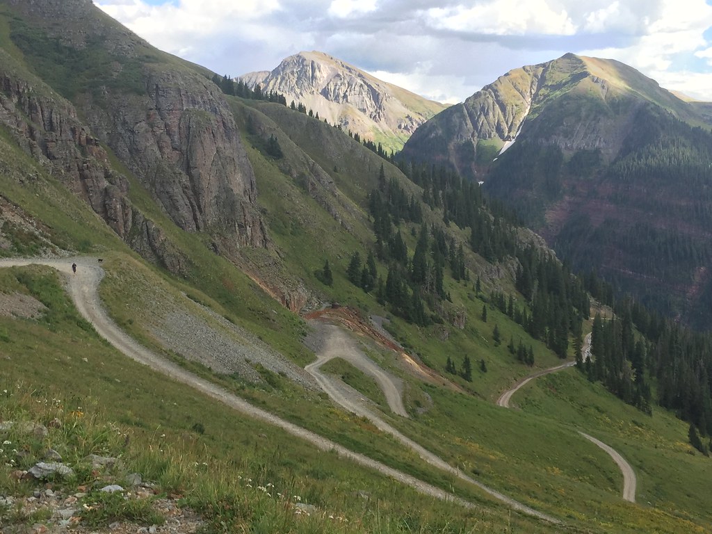
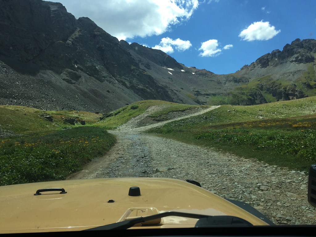
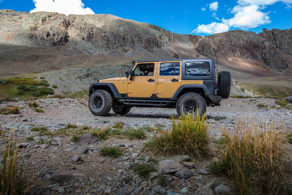
The trail is long, rocky, twisty, and a lot of it is on a shelf road which winds it's way up the mountain, similar to black bear, just not as tight (although there were a few sections that I had to back up with my unlimited)

Gaining some altitude

36791979590_fdc15b22f6_b.jpg


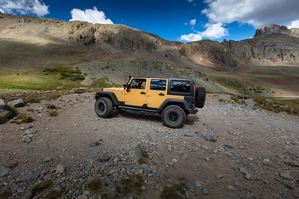
As you get close you start wondering if you are lost, because all you can see are mountains on all sides

37017878032_1d125b09d4_b.jpg


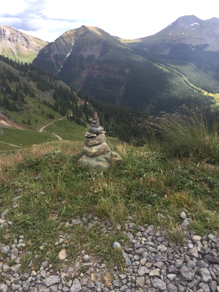
Thankfully, some helpful local 4WD clubs put cairns to mark the right path

36352741464_06437835bc_b.jpg


More and more switchbacks which got my wife nervous, especially the tight ones that I had to back up, notice the guy and his dog, some people hike up to this lake

36791975430_81f5b95aca_b.jpg


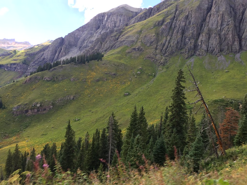
Views in every direction

36791974840_a0ca86a303_b.jpg


This is also the first place in Colorado that we saw some snow on the mountains still remaining, this was late August mind you.

36791979310_2a26487cc9_b.jpg


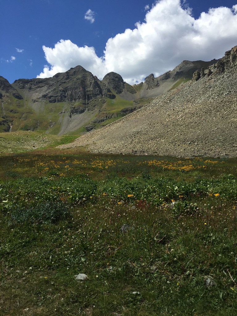
Wildflowers everywhere, it was starting to flatten out and look like a meadow, so we knew we were close

37017877952_96c12ae2be_b.jpg


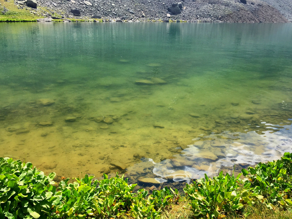
Finally we arrive, and marvel at how amazing the color just looks, especially when the sun is obscured by a cloud so the natural color can pop

37017877602_2288a84700_b.jpg


We ate a nice lunch, I snapped a few shots, and then we headed back to the hotel for the night.

36606238704_aa9276656c_b.jpg


37458427725_0eecebefaa_b.jpg


36606244254_b53359e869_b.jpg


36606242414_3d0fa6f19e_b.jpg


Drone issue #3, for some reason, when I tried to fly the drone here, it would only go up around 50' or so, and they tell me max altitude reached. Yes the drone is limited to 400 feet high, but its 400 feet from where it took off, not from sealevel, so I couldn't for the life of me figure out why it refused to fly any higher. It was probably for the best however, as the winds were pretty decent up there, and above the peaks would have probably been a real problem, as I already almost lost the drone twice this trip.

The sun was already below the mountain line of sight, so I knew it wouldn't be long before the light was gone like a lightswitch, and I really didn't want to be going down those switchbacks in the dark, so we bolted out of there, and settled in for the long drive back to the hotel.

Amazingly, we managed to get back to the hotel right as the sun was basically about done for the night

36791974080_4fffd2918a_b.jpg


The next morning, we woke up, said our goodbye's to the amazing scenery, and headed back towards Omaha, where my wife would be catching a flight, and I would continue to NJ by my lonesome. As odds would have it, I made it to Omaha ahead of schedule, it was 3am when I was just outside of Omaha (80 miles) and my wife's flight wasn't until 8pm that night. On top of all of that, we looked up her flight and already it was 3 hours delayed, so that makes it 11pm. We calculated that if she rides home with me, and we drive nonstop like we did going out west, she would arrive in NJ at almost the same exact time as the flight, assuming nothing else goes wrong with the flight. She didn't want to, but she was comfortable and half sleeping, so she decided to stick with me and drive all the way back home. I awarded here an honorary road warrior badge, NJ to Wyoming then Colorado to NJ nonstop, so she can brag proudly. We made it home unscathed, the Jeep in perfect working order, and another item crossed off the bucket list. Thanks for reading, and until next time.

37047298061_3b736a40eb_b.jpg
 
Awesome trip!! I can't wait to go west again. Next time there will be trails involved. We did a bunch of the national parks with the kids already so it will be play time for me next time.
 
Top Bottom