You are using an out of date browser. It may not display this or other websites correctly.
You should upgrade or use an alternative browser.
You should upgrade or use an alternative browser.
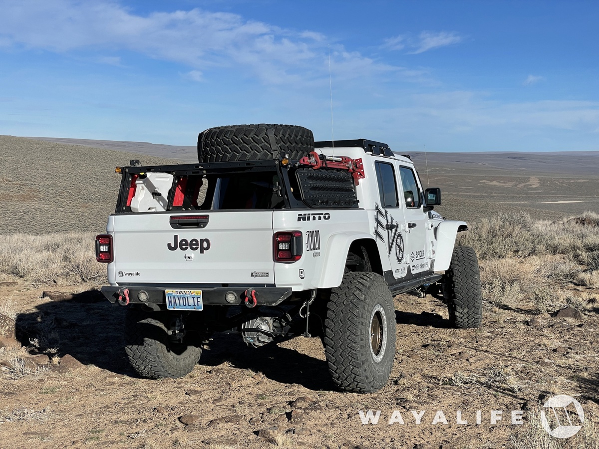
In DENIAL in DENIO - Getting Away & Exploring the Northwest Corner of Nevada
- Thread starter wayoflife
- Start date
Lsmith
New member
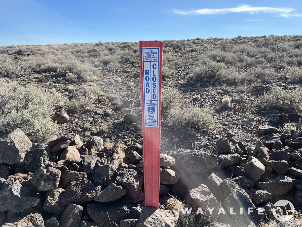
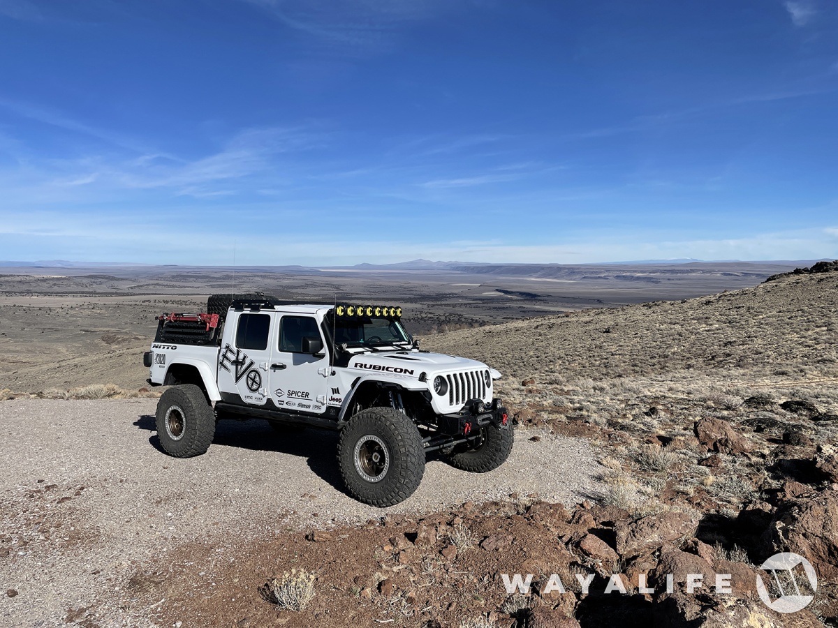
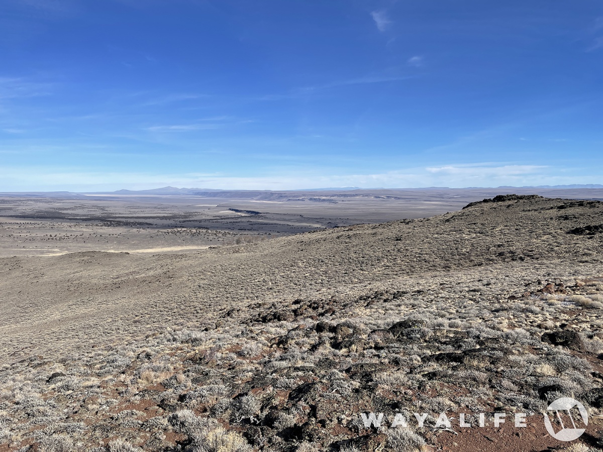
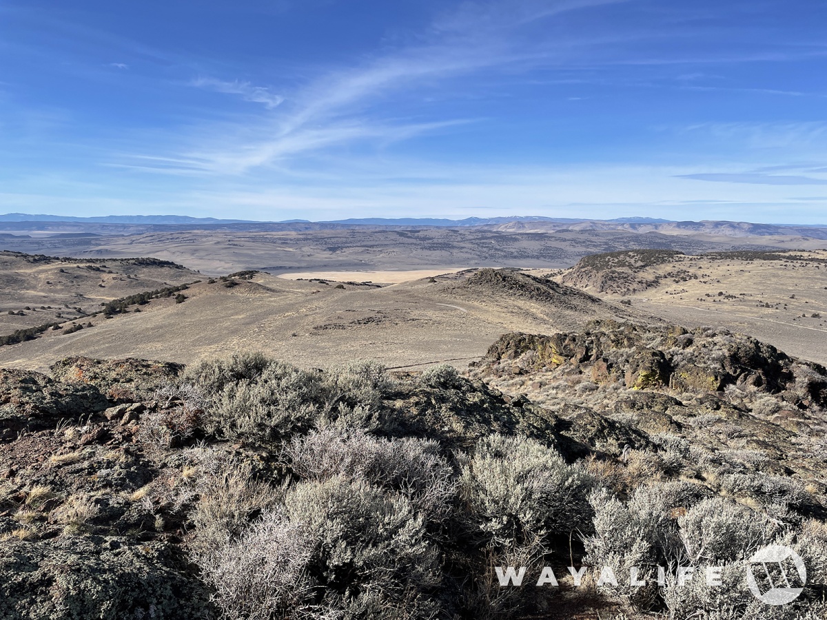
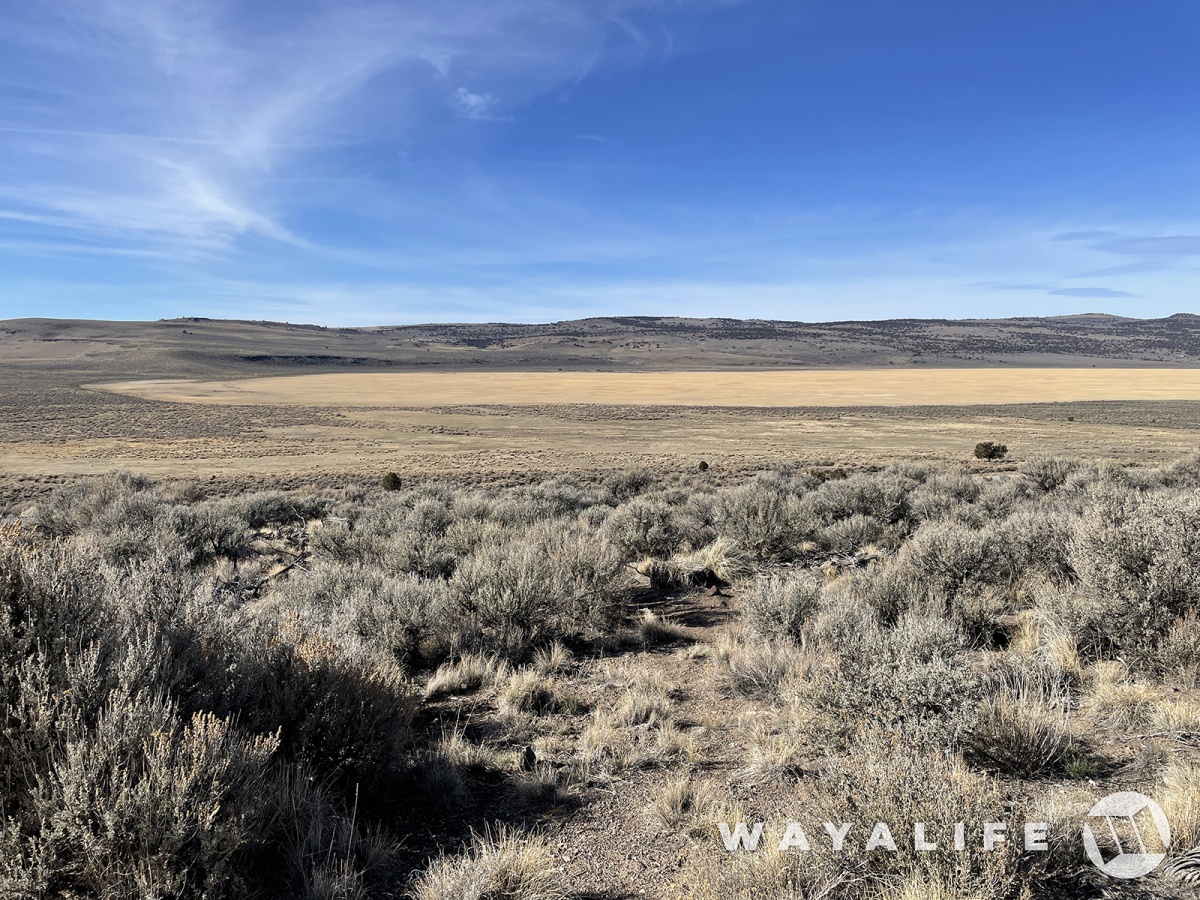
Happy birthday I’m so grateful to watch your guys adventures it always puts a smile on my face. Also I know how you feel as I get older I am in denial myself.Back on the trail, we made our way up to the top of one of the many mesas in the area. According to our maps.
And, this is what really sucks about visiting non-BLM government run lands. In spite of our maps showing us that the road should continue and for quite some time, we were stopped by one of these.
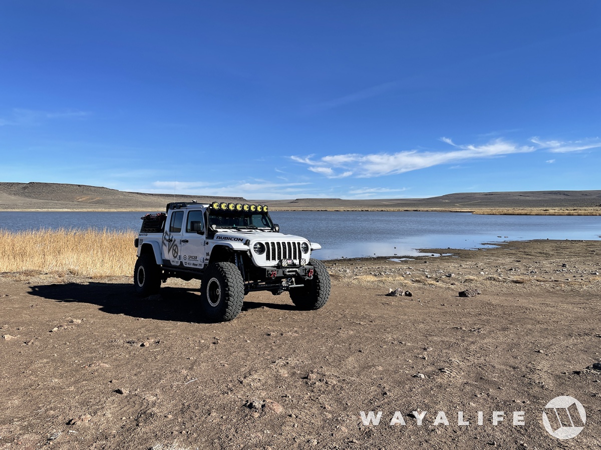
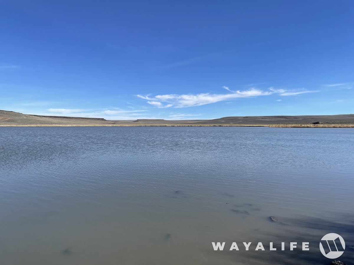
Continuing our way to the west, we made a stop for some lunch at the old Catnip Reservoir.
On the far western edge of the refuge, there's a trail that'll take you up to a fire lookout tower on the top Yellow Peak. And from here, you really can see forever.
This is a shot looking back toward the east.
And this is a shot looking out toward the west and into California in the distance.
As we made our way down Bald Mountain and into Long Valley, we were treated to an awesome view of Calcutta Lake... dry lake that is.
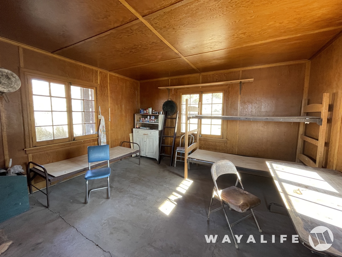
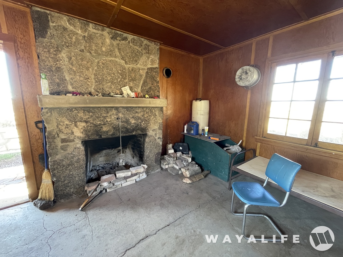
About half way down and just past the refuge boundary, we came across a really nice old cabin that reminded us of the geologist cabin out by Stripped Butte. It was well kept and open to the public but signs on it stated no camping was allowed.
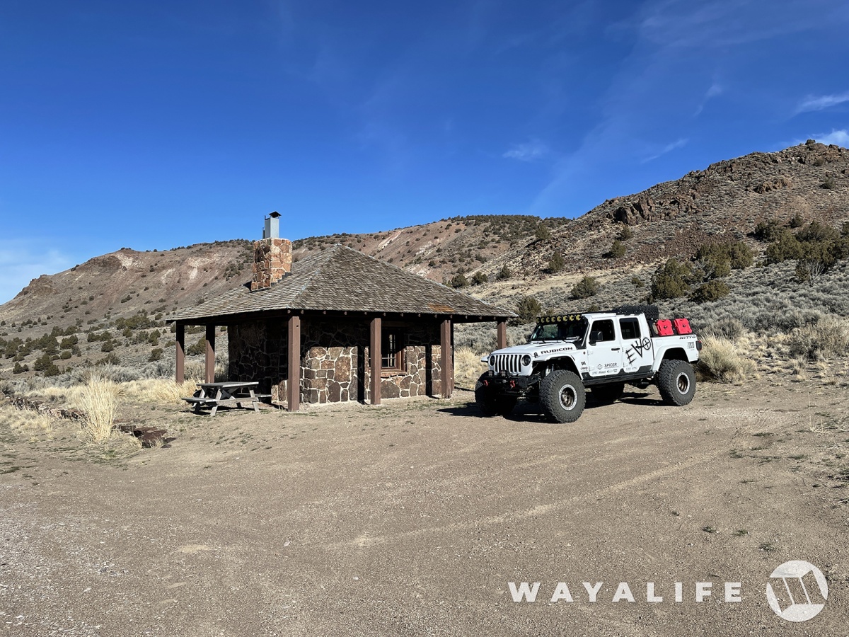
But, that doesn't mean people don't spend the night in it.
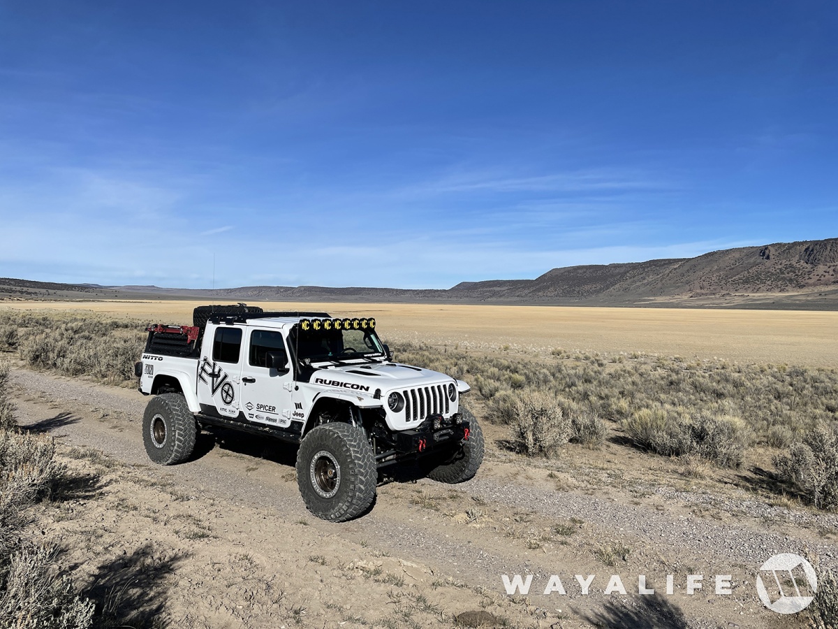
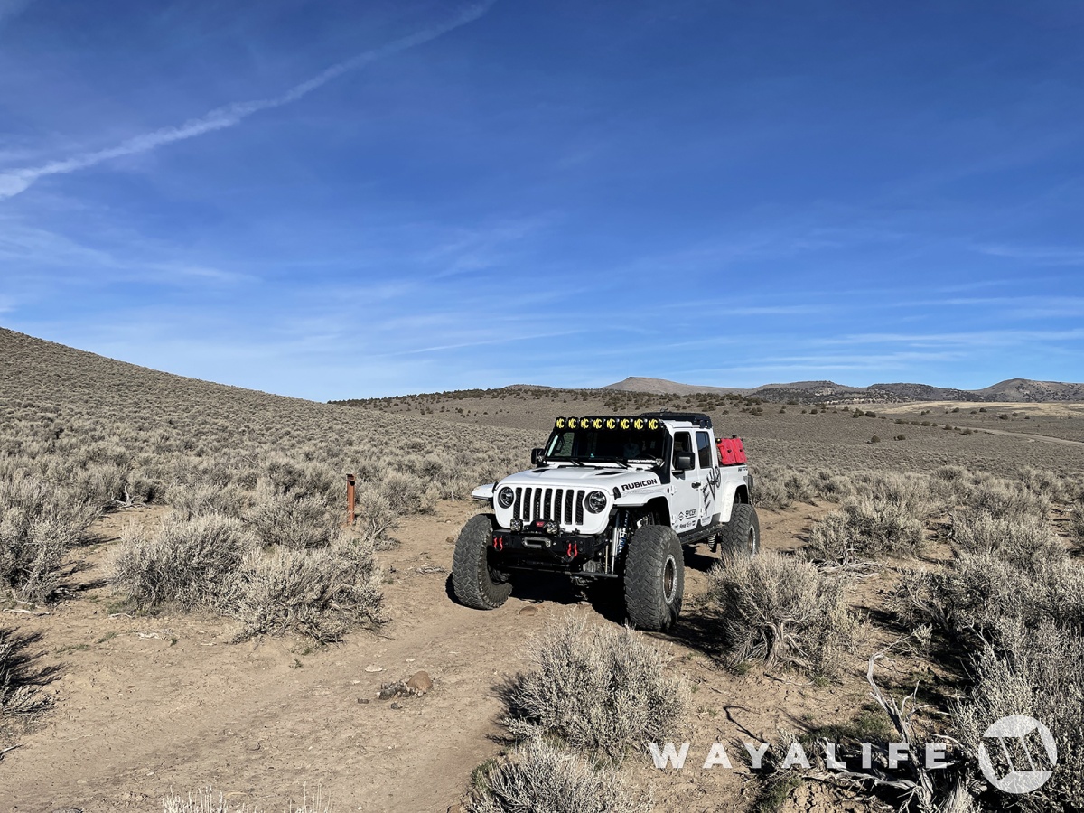
Down in the valley and working our way toward California.
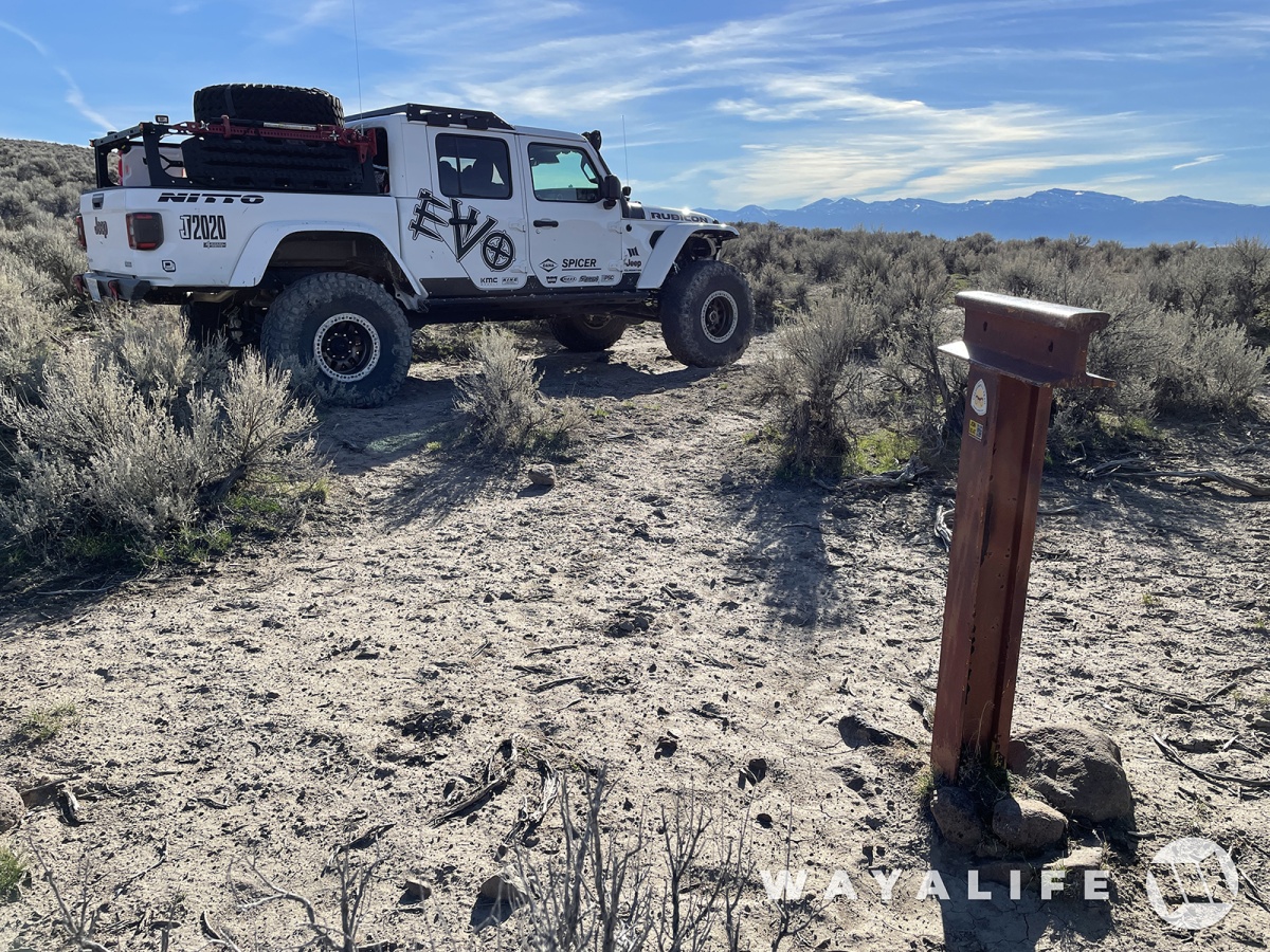
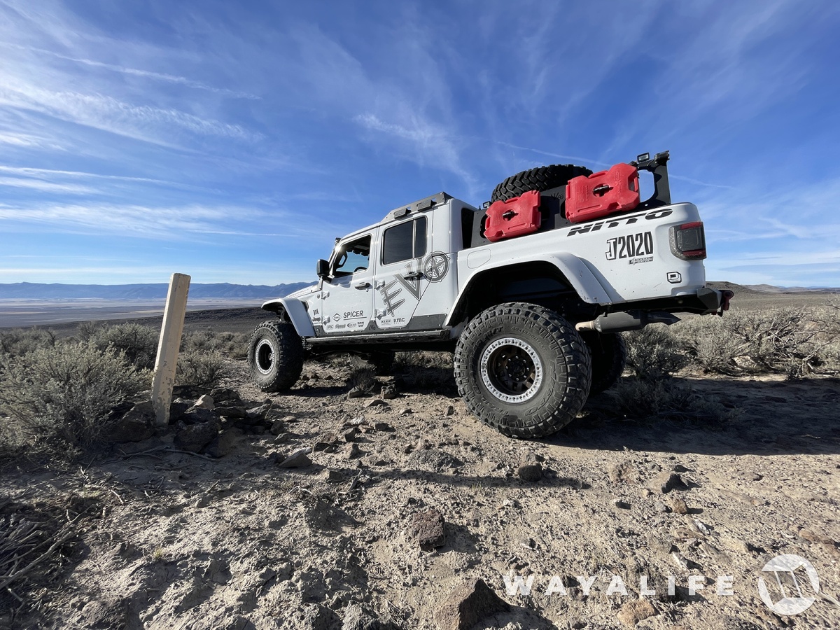
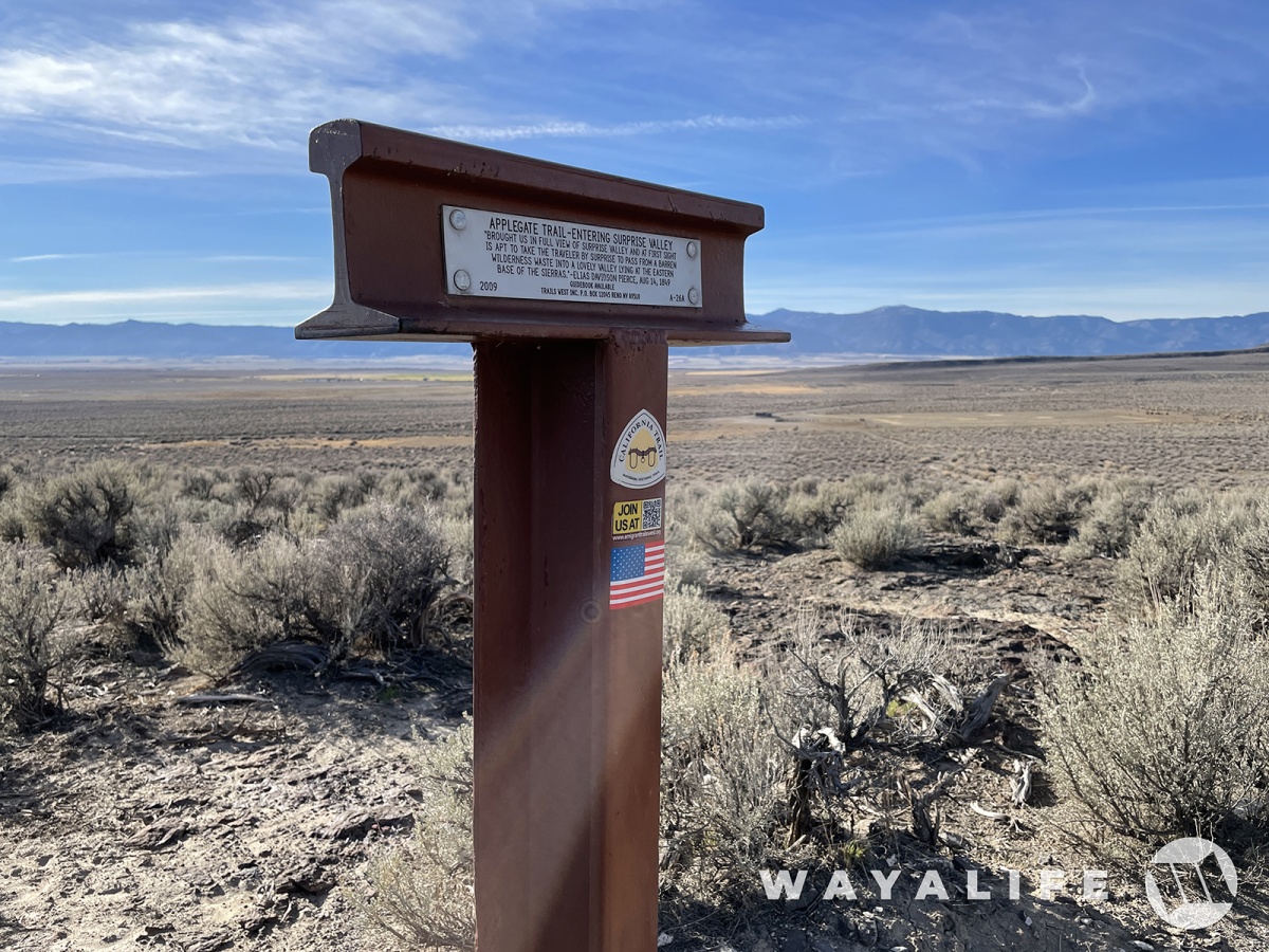
Of course, when you're heading to California, what better way to do it than out on an emigrant trail. Specifically, the Applegate Trail.
And here we are at state line. Farewell Nevada and hello California!
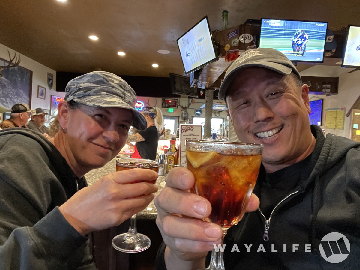
And last but not least, Cindy and I celebrating a great time that stared in Denio and where we could continued to be in denial out on the trail. From Bruno's, one of our favorite watering holes in Northern Nevada, CHEERS!!

Thanks! And yes, really nice up there. So different that other parts of the state and in a good way.ive always heard how cool of an area that part of the state is, Happy bday as well
")
Thank you. It was excellentHappy birthday. It looks like you had a great time.
So happy to hear you can appreciate threads like this just as much as our videosI definitely enjoy your videos, but these photos and captions were very enjoyable too! Glad you enjoyed being in denial! hah
LOL - thank you.Happy birthday I’m so grateful to watch your guys adventures it always puts a smile on my face. Also I know how you feel as I get older I am in denial myself.
RanchoRubi
Active Member
Happy belated Birthday! So happy to see you guys are getting back out and sharing your adventures again
Thanks! Been tough to find the time to make posts like these but I'm working on itHappy belated Birthday! So happy to see you guys are getting back out and sharing your adventures again
Thank you. And yes, we like it hereHappy belated birthday. Love the pictures it’s amazing to see how much Nevada truly has to offer.

Thank you my friend. It's been a while since we've seen you around. Hope all is good.Happy Birthday. Great pics.
WJCO
Meme King
All is good. Been busier than a stripper on nickel night.Thank you my friend. It's been a while since we've seen you around. Hope all is good.
All is good. Been busier than a stripper on nickel night.
Glad to hear it Bullwinckle
Hooked
Great pics and history. Happy belated Birthday as well!
Thank you my friendGreat pics and history. Happy belated Birthday as well!