About an hour north of Lake Tahoe and deep into the Sierra Nevada Mountains, the northern most stretch of Highway 49, also known as the Mother Lode, crosses through an area containing more than 45 glacier carved lakes, and because of it, has been given the name, Lakes Basin. Crowned with an ancient volcanic peak known as the Sierra Buttes, this area was once buzzing with activity and populated with thousands of miners trying to strike it rich. Of course today, about the only thing buzzing around are mosquitos. Thanks to its remote location and being in a county that has one of the lowest populations in the state, the Lakes Basin is a perfect place to get away from it all and explore California's rich history in a way that might have resembled what it was like over 150 years ago.
For our Gold Rush Run, we decided to explore the short but difficult rated Snake Lake Trail which is located on the eastern edge of Gold Valley and then circled around down and out west on the Mother Lode Highway until we reached the historic town of Downieville. From there, we headed on a long journey north and off pavement to the old mining town of Poker Flat and eventually, La Porte before calling it a day. Here are some pics from our trip, I hope you enjoy.
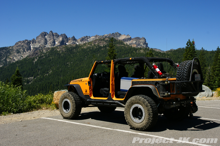
After gasing up in Sierra City, we turned off the Mother Lode Highway and stopped to take a shot of Rubicat with the beautiful Sierra Buttes towering in the background...
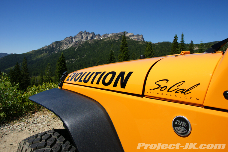
Turning onto the Gold Lake Trail which leads to Snake Lake - It's pretty cool as this is a designated difficult rated OHV camping trail...
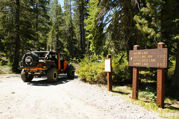
Turning onto the Snake Lake Trail. It's hard to believe that there were 10-20 foot snowdrifts blocking the trail this time last year...
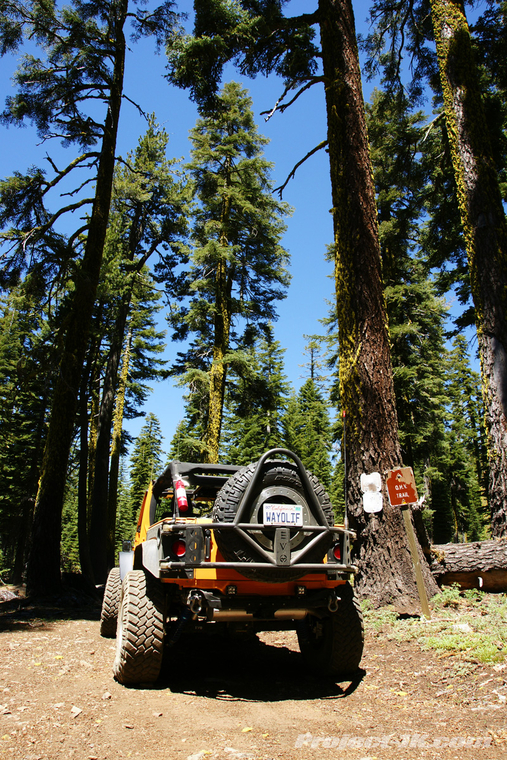
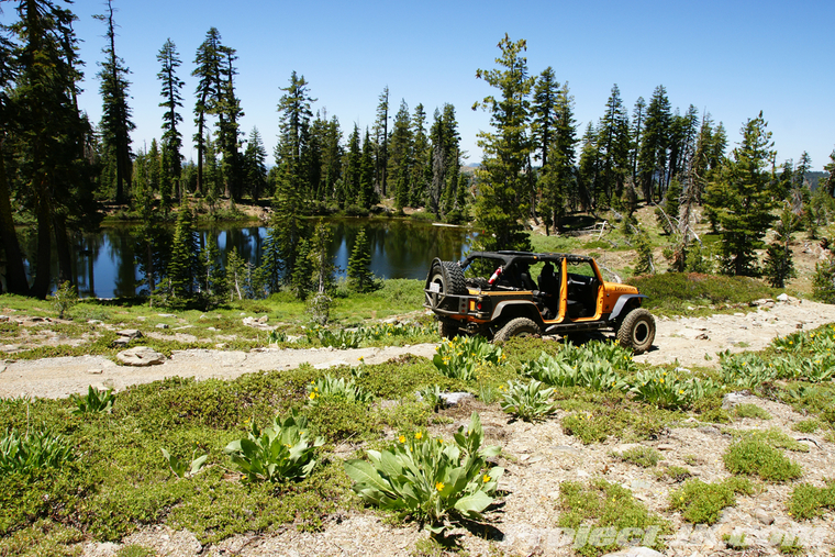
The first part of the trail is all easy stuff - here we're coming around the first of three bodies of water along the way - Oakland Pond...
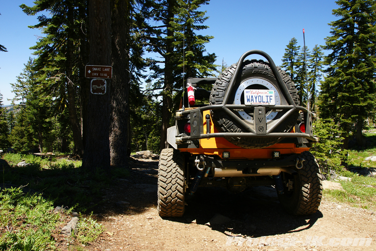
From here, the trail gets a bit more technical...
Getting ready to drop down off the ridge into Snake Lake...
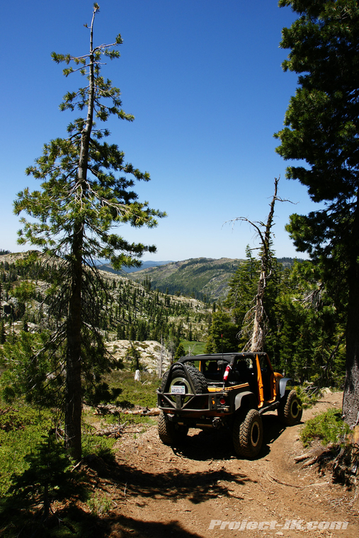
Heading on down. You can't tell from the pic but this is a really steep section of trail with loose rocks under foot. There are a couple of technical sections along the way too...
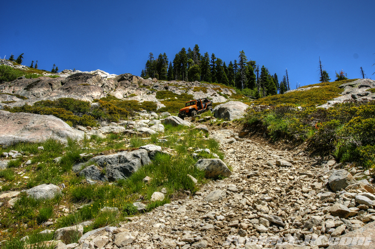
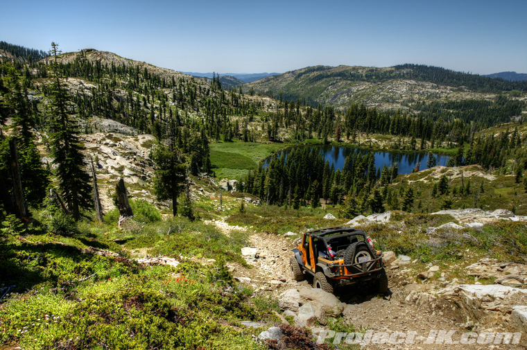
Circling around and working our way up to Little Deer Lake...
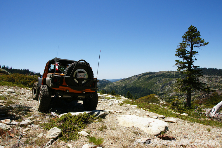
Our lunch stop for the day - Little Deer Lake...
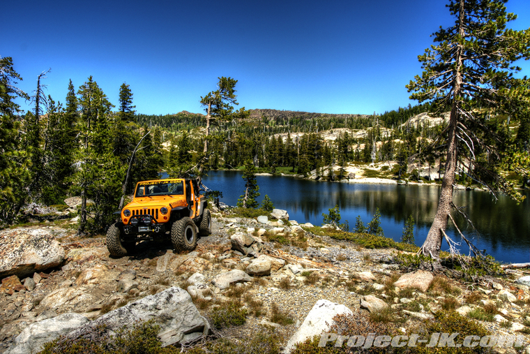
View looking across this pretty lake...
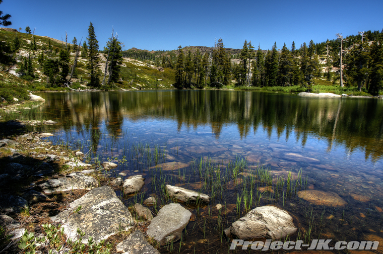
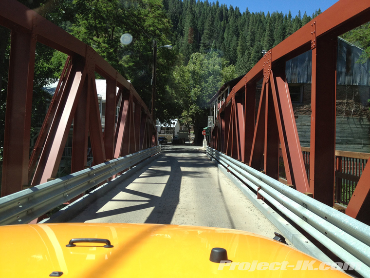
After lunch, we worked our way back to Highway 49 and headed west to Downieville where every street and bridge is pretty much just wide enough for one vehicle and you have to wait your turn to go by...
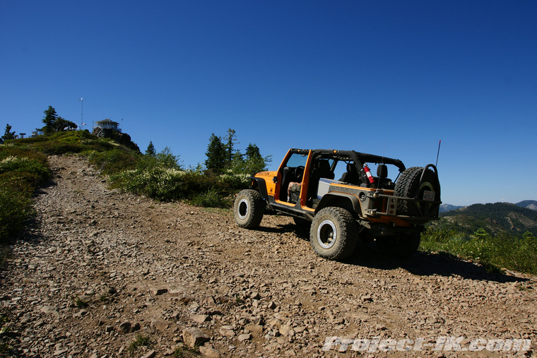
Heading north out of Downieville, we started our longest stretch of trail and made our first stop over at the Saddleback Lookout tower...
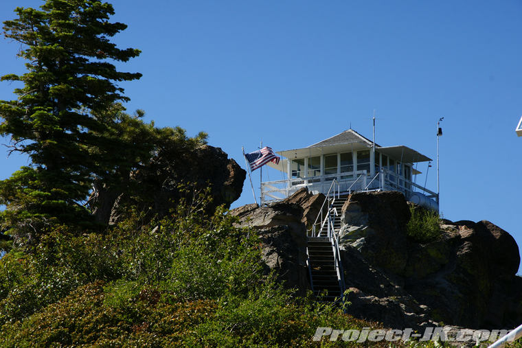
If you can believe it, this lookout tower is still manned and very much in use today...
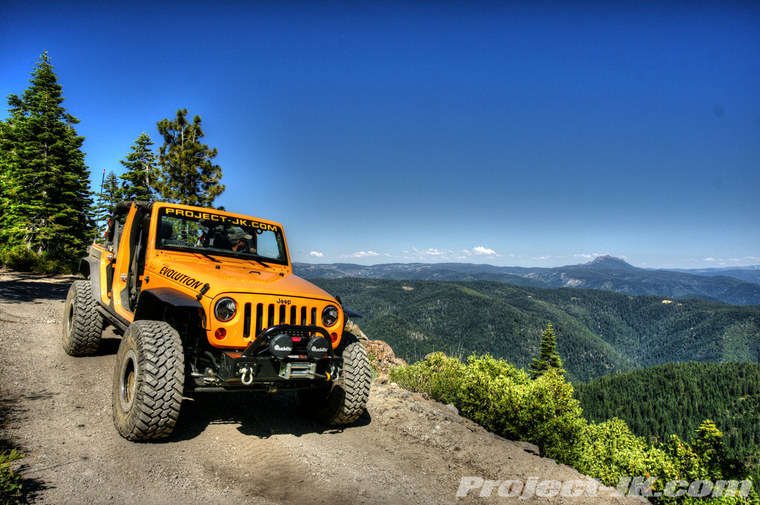
Working our way around the mountain, you can see the Sierra Buttes out in the distance...
After a hell of a long and dusty ride across really narrow shelf roads and thick forests, we finally made it to our destination, Poker Flat...
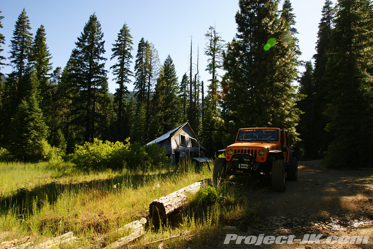
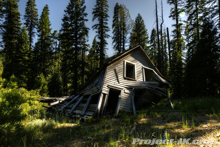
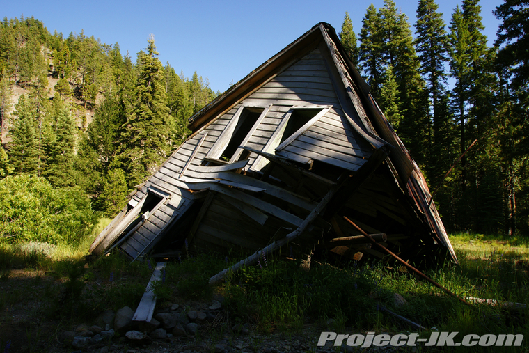
Established back in the 1850's, Poker Flat once had as many as 400 miners living in this town. Today, all that remains is the old Scott home which was built in 1886 and just barely at that...
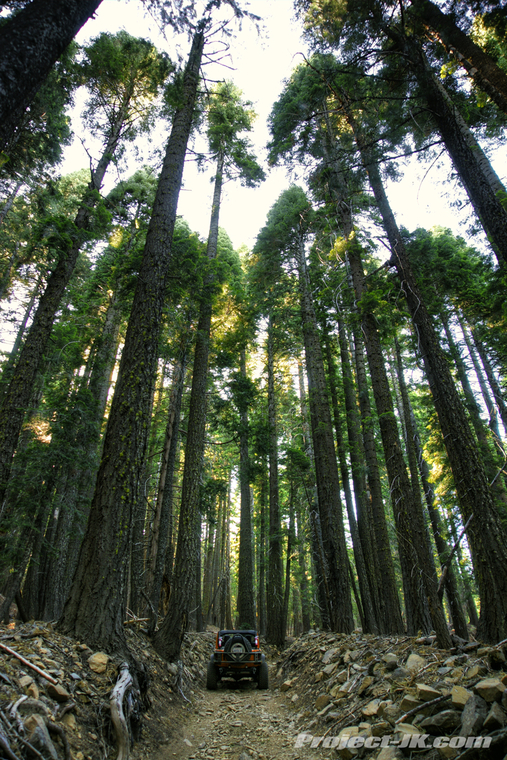
The trail leading up and out of Poker Flat is extremely steep and deeply worn into the mountain side. At times, you literally feel as if you're in some kind of flume...
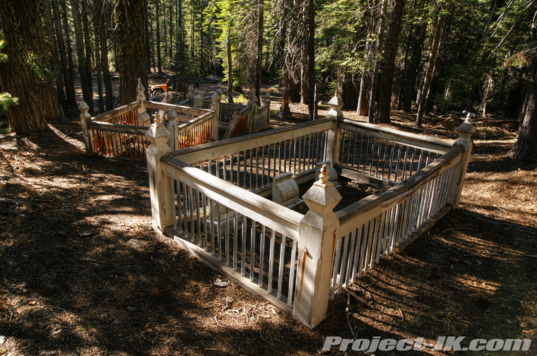
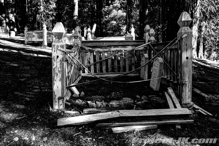
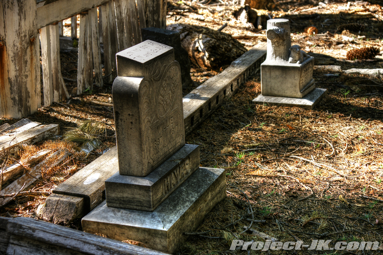
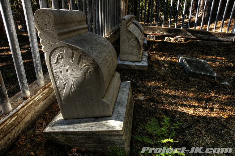
Up on top of the northern ridge, we stopped over at the old Potosi Cemetery which, being so deep in the forest and really far from anything, was way creepy cool...
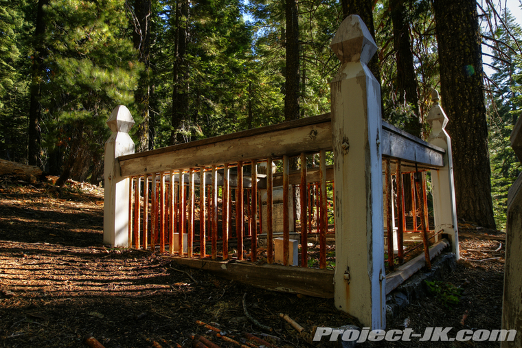
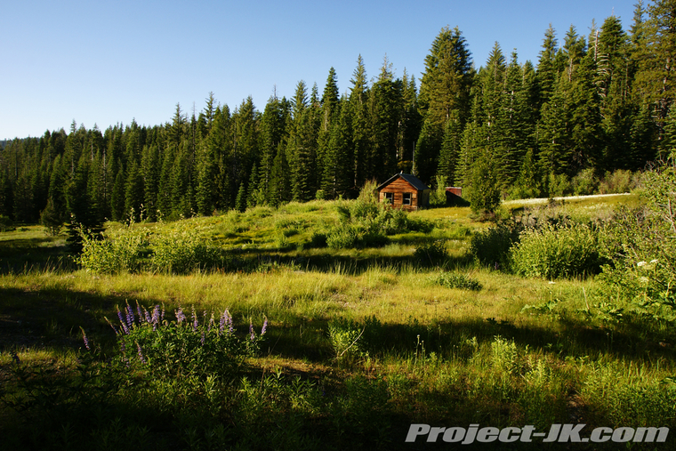
Moving along, we stopped to check out some of the old cabins still standing over at Howland Flat...
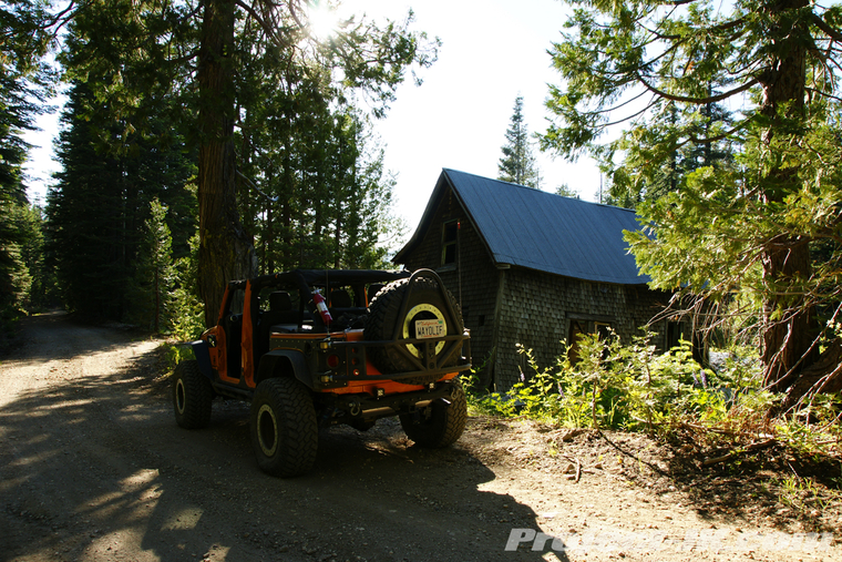
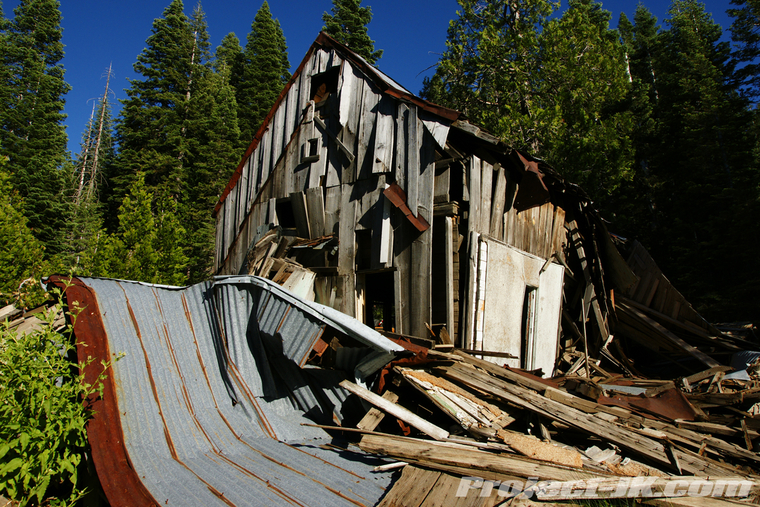
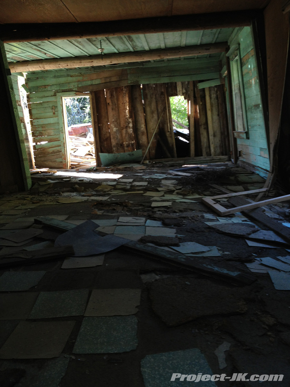
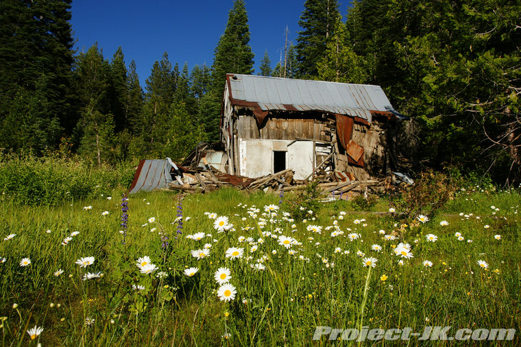
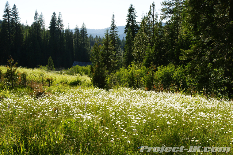
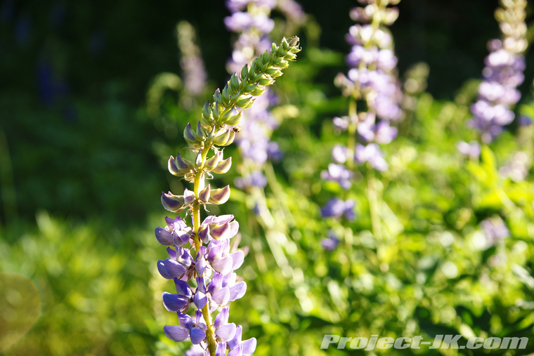
The wildflowers were really in bloom out here...
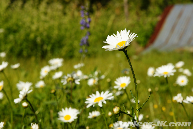
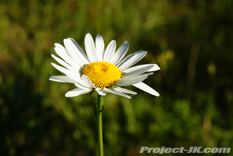
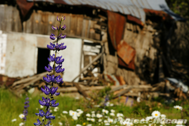
Another miners cabin still standing...
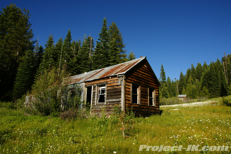
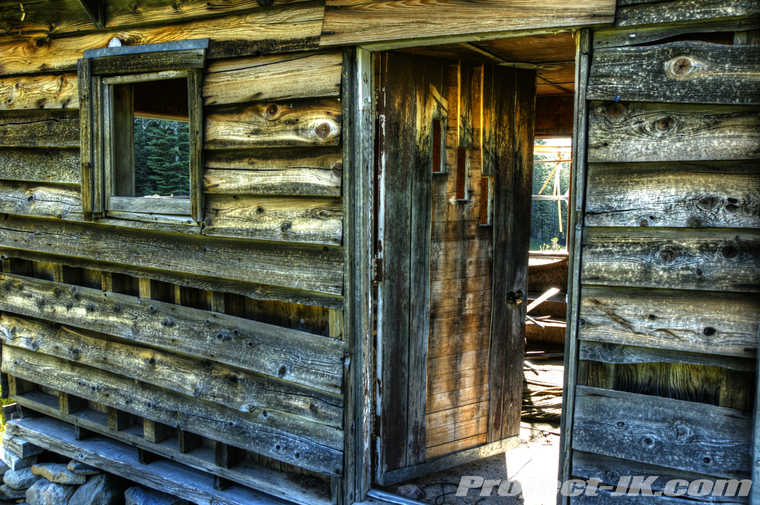
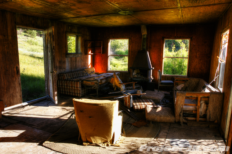
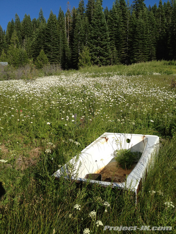
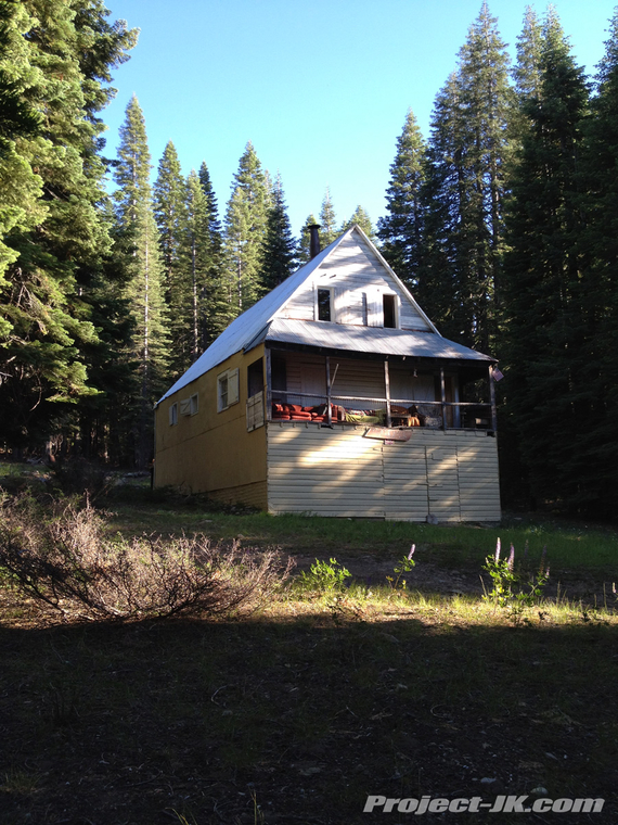
It's hard to imagine but, there are cabins in the area that are still owned with mining claims that are still active...
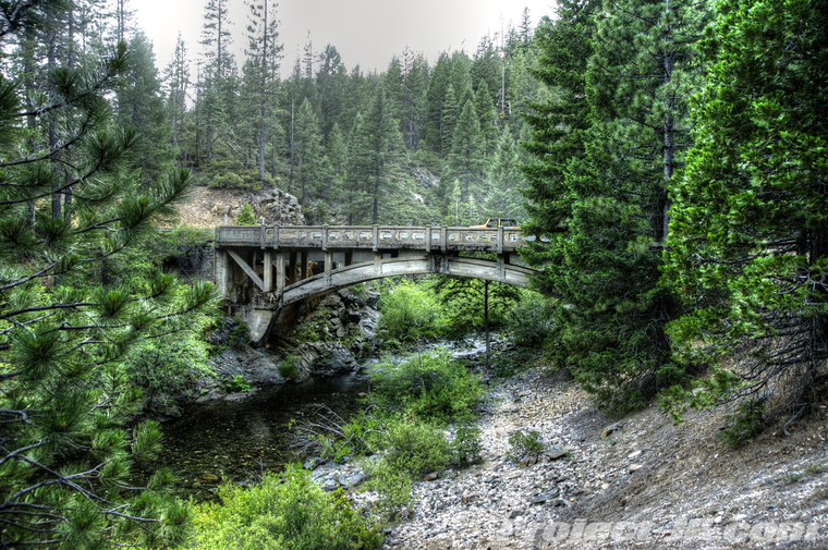
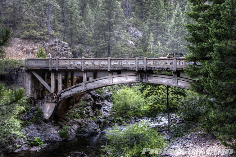
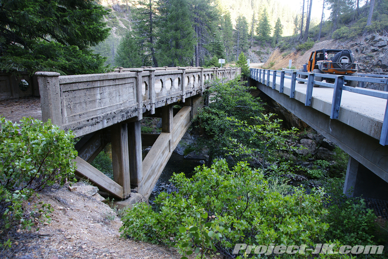
On our final push to La Porte, we came across the old and beautiful, St. Louis bridge which was built back in 1913. It's far from safe to cross these days and so a modern replacement bridge had been built right next to it...
By the time we got off the trail, it was almost 8:30 PM and with the sun just starting to set. With almost a 4 hour drive to get back to South Lake Tahoe - doorless and topless, we decided to call it a day and head on back.
I hope you enjoyed following us on our recent Gold Rush Run and, if you would like to see all the pics that we took on it, simply click on the link below:
Gold Rush Run 2012: Snake Lake & Poker Flat Photo Gallery

For our Gold Rush Run, we decided to explore the short but difficult rated Snake Lake Trail which is located on the eastern edge of Gold Valley and then circled around down and out west on the Mother Lode Highway until we reached the historic town of Downieville. From there, we headed on a long journey north and off pavement to the old mining town of Poker Flat and eventually, La Porte before calling it a day. Here are some pics from our trip, I hope you enjoy.
After gasing up in Sierra City, we turned off the Mother Lode Highway and stopped to take a shot of Rubicat with the beautiful Sierra Buttes towering in the background...
Turning onto the Gold Lake Trail which leads to Snake Lake - It's pretty cool as this is a designated difficult rated OHV camping trail...
Turning onto the Snake Lake Trail. It's hard to believe that there were 10-20 foot snowdrifts blocking the trail this time last year...
The first part of the trail is all easy stuff - here we're coming around the first of three bodies of water along the way - Oakland Pond...
From here, the trail gets a bit more technical...
Getting ready to drop down off the ridge into Snake Lake...
Heading on down. You can't tell from the pic but this is a really steep section of trail with loose rocks under foot. There are a couple of technical sections along the way too...
Circling around and working our way up to Little Deer Lake...
Our lunch stop for the day - Little Deer Lake...
View looking across this pretty lake...
After lunch, we worked our way back to Highway 49 and headed west to Downieville where every street and bridge is pretty much just wide enough for one vehicle and you have to wait your turn to go by...
Heading north out of Downieville, we started our longest stretch of trail and made our first stop over at the Saddleback Lookout tower...
If you can believe it, this lookout tower is still manned and very much in use today...
Working our way around the mountain, you can see the Sierra Buttes out in the distance...
After a hell of a long and dusty ride across really narrow shelf roads and thick forests, we finally made it to our destination, Poker Flat...
Established back in the 1850's, Poker Flat once had as many as 400 miners living in this town. Today, all that remains is the old Scott home which was built in 1886 and just barely at that...
The trail leading up and out of Poker Flat is extremely steep and deeply worn into the mountain side. At times, you literally feel as if you're in some kind of flume...
Up on top of the northern ridge, we stopped over at the old Potosi Cemetery which, being so deep in the forest and really far from anything, was way creepy cool...
Moving along, we stopped to check out some of the old cabins still standing over at Howland Flat...
The wildflowers were really in bloom out here...
Another miners cabin still standing...
It's hard to imagine but, there are cabins in the area that are still owned with mining claims that are still active...
On our final push to La Porte, we came across the old and beautiful, St. Louis bridge which was built back in 1913. It's far from safe to cross these days and so a modern replacement bridge had been built right next to it...
By the time we got off the trail, it was almost 8:30 PM and with the sun just starting to set. With almost a 4 hour drive to get back to South Lake Tahoe - doorless and topless, we decided to call it a day and head on back.
I hope you enjoyed following us on our recent Gold Rush Run and, if you would like to see all the pics that we took on it, simply click on the link below:
Gold Rush Run 2012: Snake Lake & Poker Flat Photo Gallery
