A year ago, 9 Jeeps and 15 members of WAYALIFE made our way back to Independence, Missouri, to embark on an epic trek back to California, in our modern day prairie schooners and by following the original Emigrant Trail and closely as possible. As was the case for so many of the emigrants 150 years ago, our journey west ended in a bust after one of the Jeeps in our caravan suffered a terrible accident crossing the Nevada desert.
On June 13, 2015, a handful of the original party and a few new members headed back out to the Nevada desert, to pick up where we left off and with the purpose of finishing what we started. Over the course of 4 days, we headed east to the town of Ely and along the way, made a stop over at Grimes Point, the Stokes Castle, Toquima Cave and Diana's Punch Bowl. From there, we headed north, visited the ghost town of Metropolis and then got back on the California Emigrant Trail and headed west. After a stop over at the California Trail Interpretive center before setting up camp at the Rye Patch Reservoir. The following day, we officially picked up where we left off the year before and crossed what most emigrants considered the most difficult length of the Carson Route - "the 40 mile desert" and then pulled into Virginia City to spend the night in the oldest and longest running hotel in the state of Nevada - The Gold Hill. To complete our trip, we crossed the Sierra Nevada Mountains along a historic route connecting Virginia City, NV to Marysville, CA known as the Henness Pass Trail and along the way, stayed the night in the old mining town of Downeyville.
This thread highlights all the fun we had with our good friends and I hope you enjoy the photos.
Shot of the California or Bust Part 2 Party showing up at Camp WAYALIFE the night before we headed out.

To good times ahead!
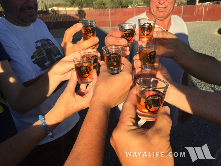
CHEERS!!
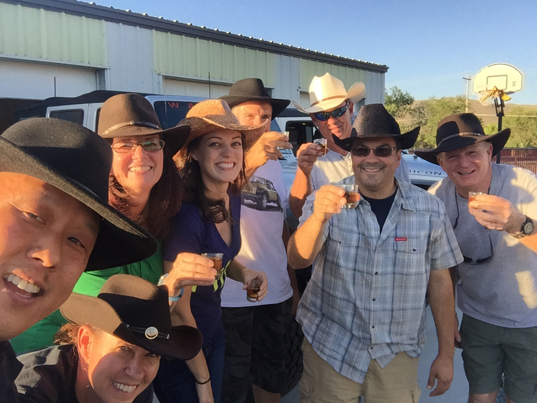
And the festivities continued well into the night - CHEERS AGAIN!!
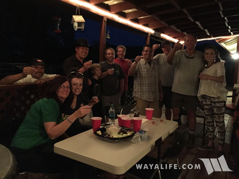
Day 1 : Trek to Ely
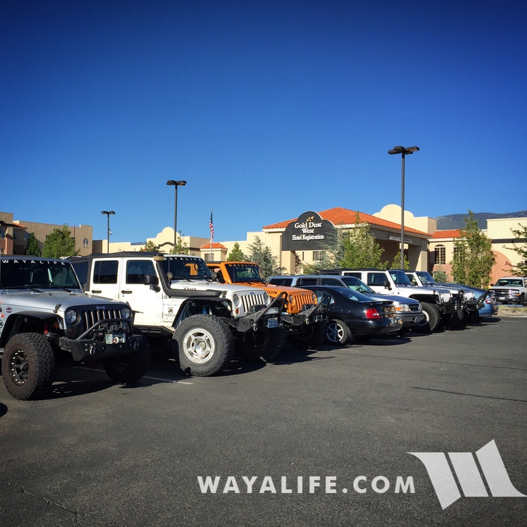
Meeting up with the crew the following morning.
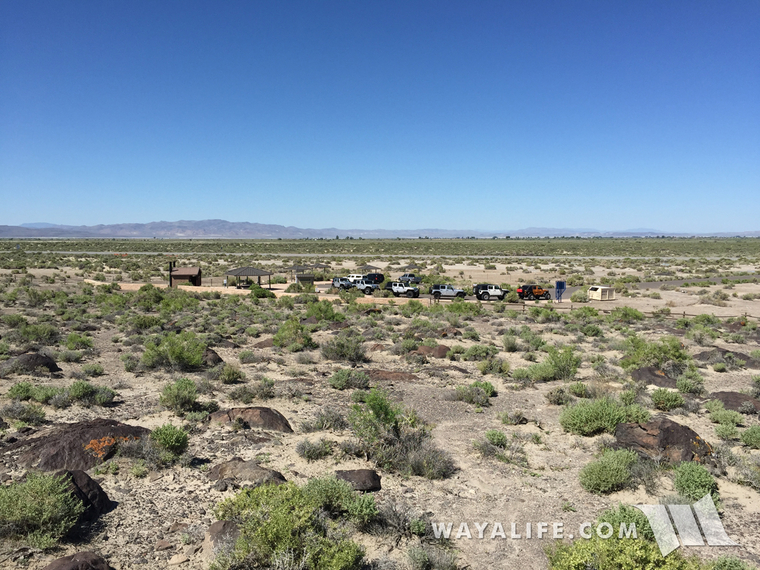
Making our first stop on our way to the eastern edge of Nevada - Grimes Point.
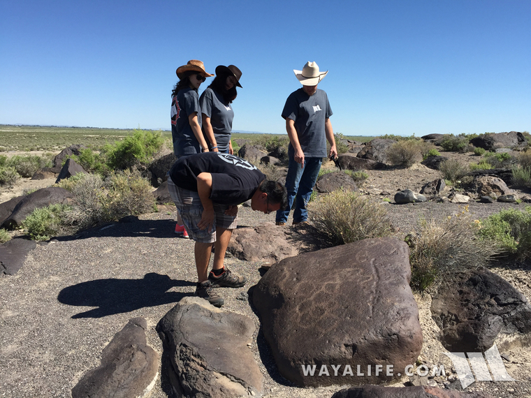
Jason trying to decipher the petroglyphs on a boulder that we came across on our short hike in the area.
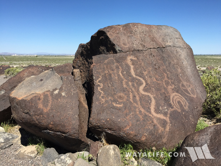
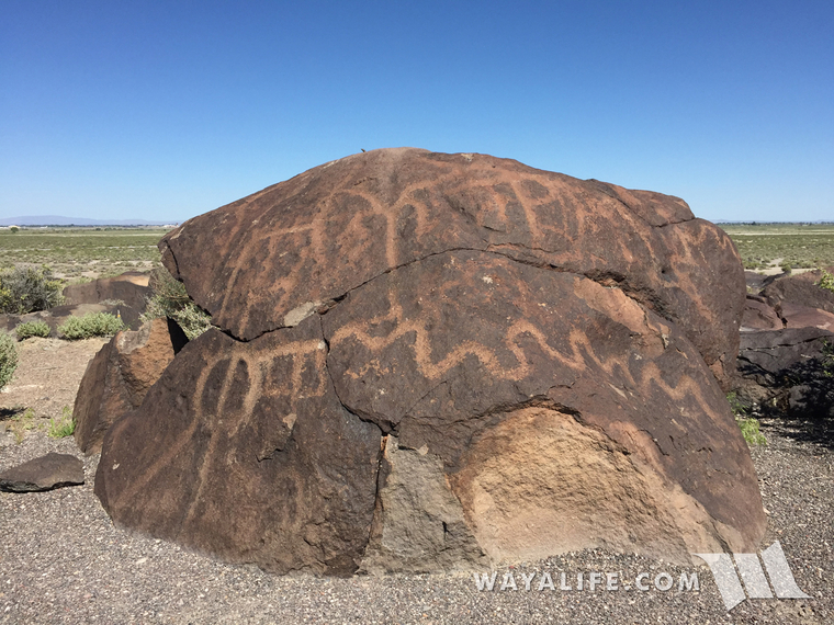
People had been in this area and creating petroglyphs here as far back as 8,000 years ago.
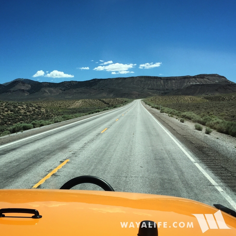
Back on the road again and heading east along the U.S. Highway 50, also known as the Lincoln Highway or "The Loneliest Highway".
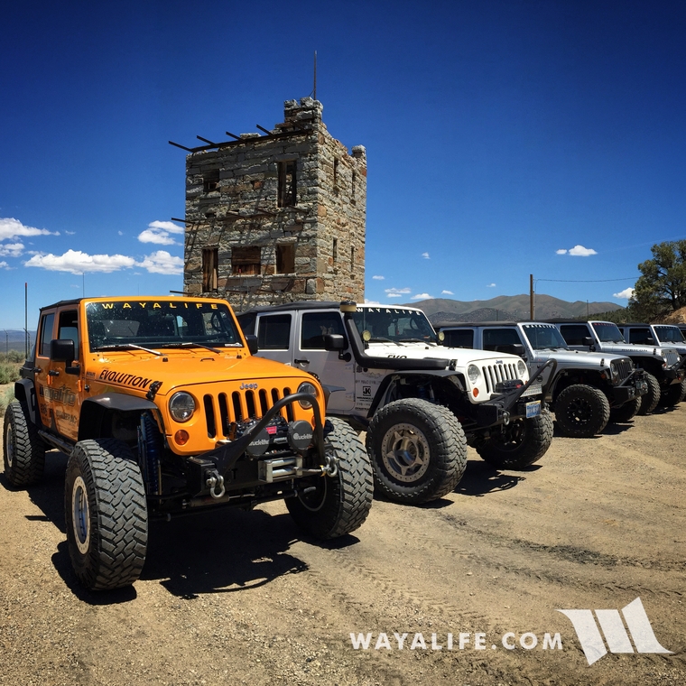
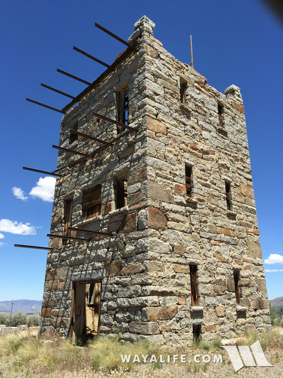
Our next stop was over at the Stokes Castle in Austin which was built back in 1897 and used briefly as a summer home by J.G and Anson Stokes.
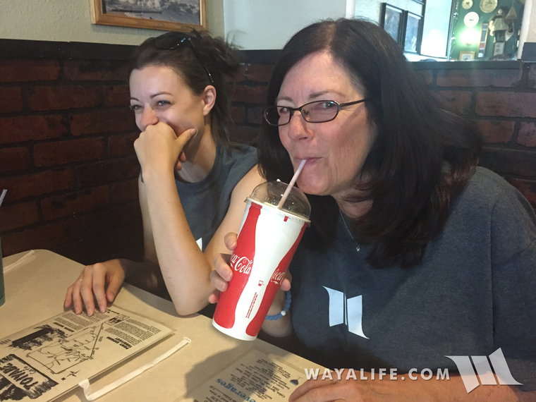
Making a stop in town for some lunch and to enjoy a blackberry shake!
On the road again and continuing our trek east.
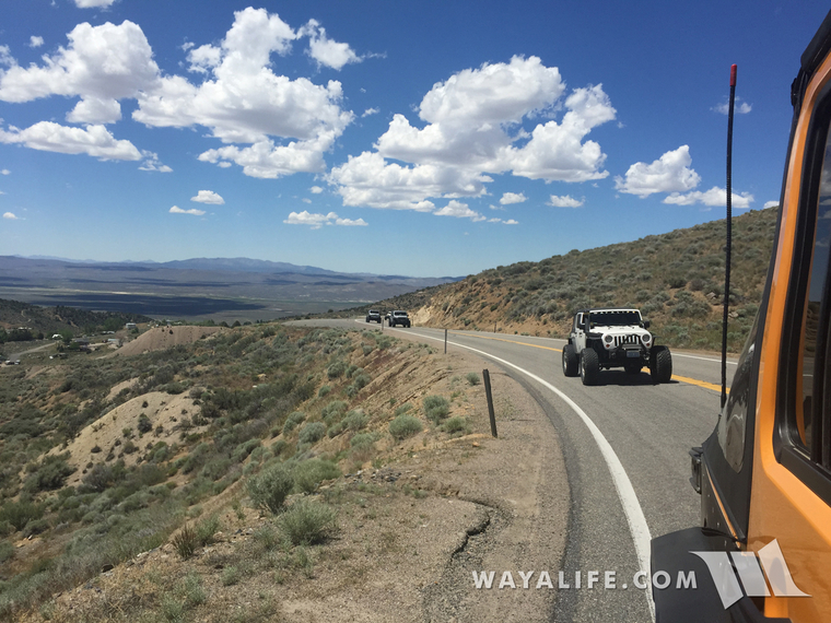
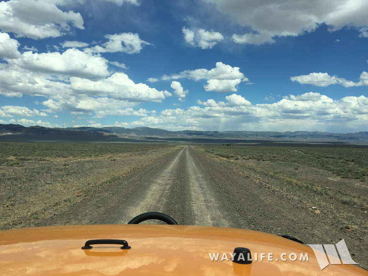
Pulling off of pavement and getting ready to rocket down what Cindy and I like to call a "Nevada Superhighway"! They're all dirt, super wide, often smoother than pavement and you can really jam on them for what seems like forever.
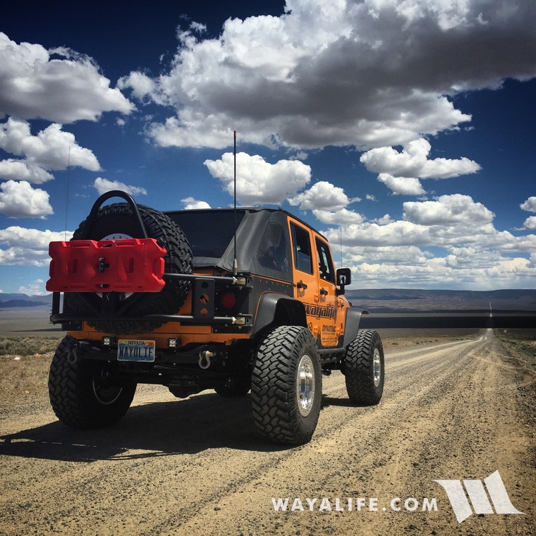
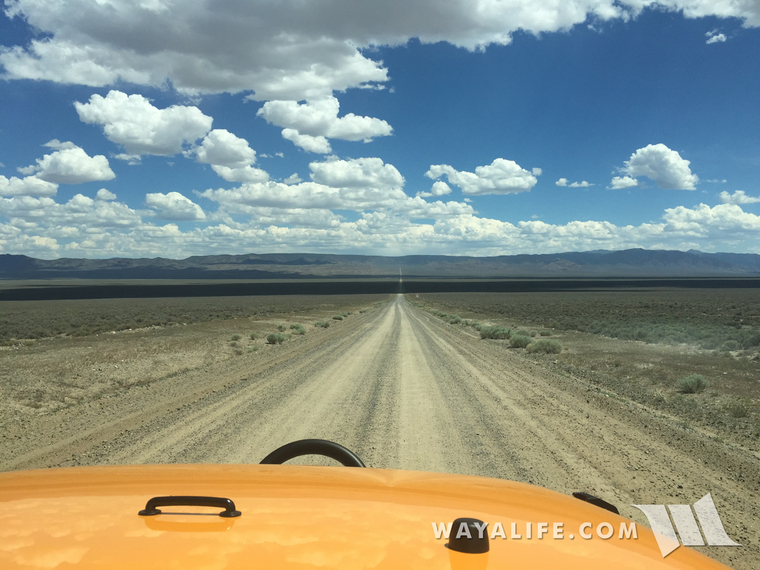
Our next stop of the day was over at Toquima Cave.
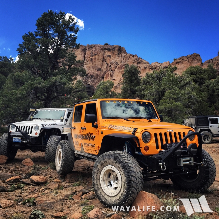
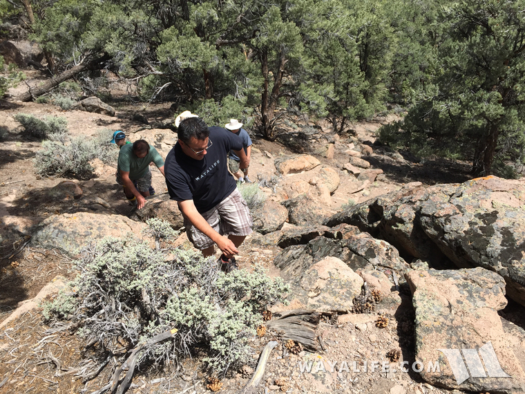
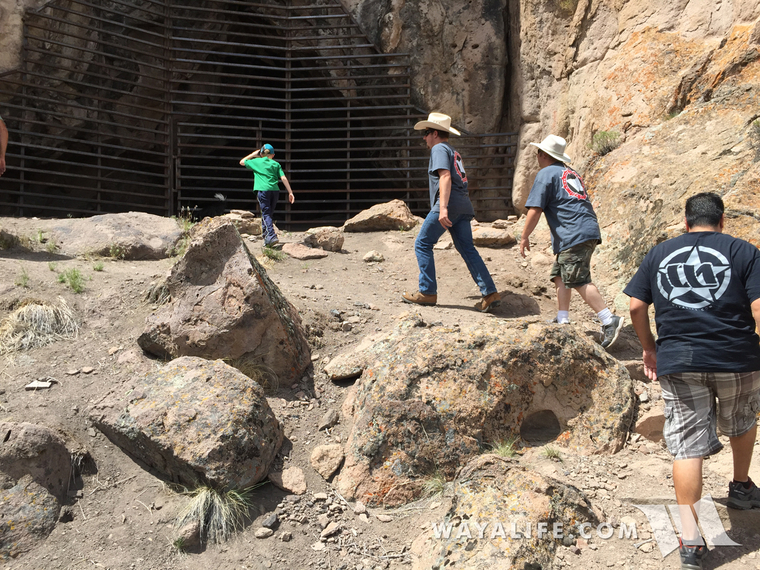
Getting up to the cave requires you to scramble up a few rocks.
Taking a peek inside.
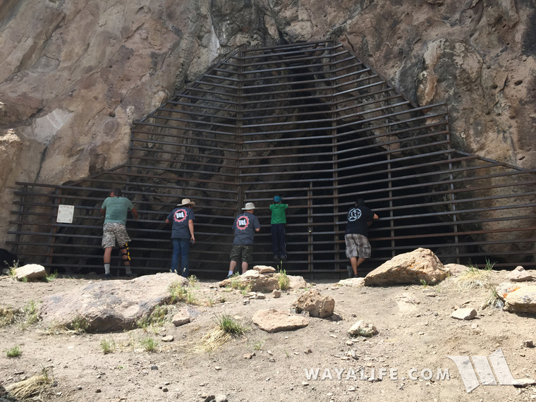
It sucks that something as cool as this has to be fenced off like this but without it, the yahoos would for sure destroy it.
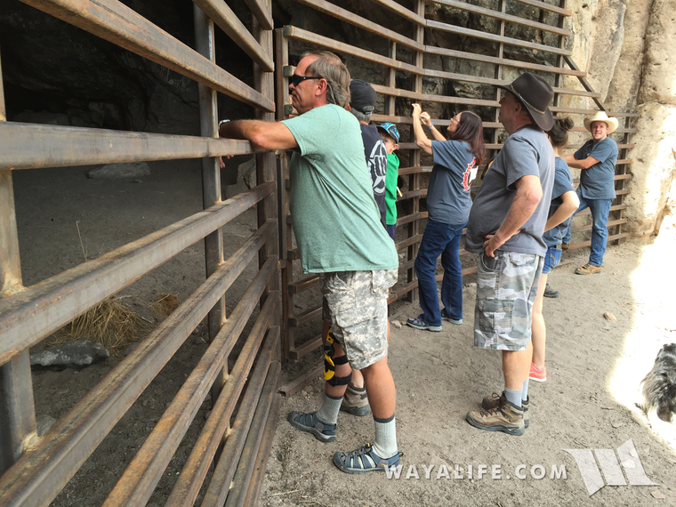
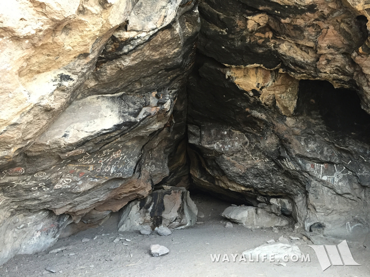
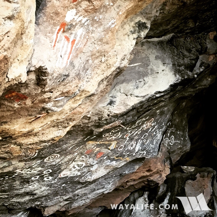
Between 3,000 and 1,500 years ago, Toquima Cave was used by Native Americans as a temporary shelter and in it, they left over 300 independent pictographs.
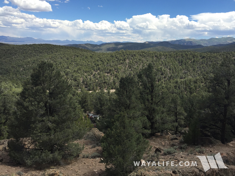
From the cave looking south and down at our Jeeps below.
Back on another Nevada Superhighway.
Our next stop was over to a natural hot springs known as Diana's Punch Bowl.
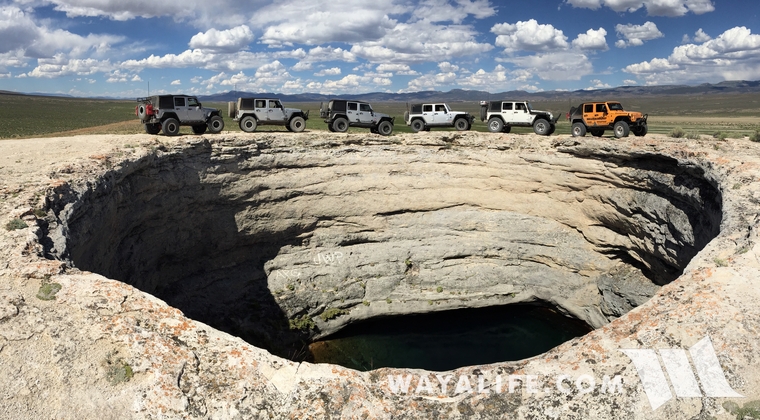
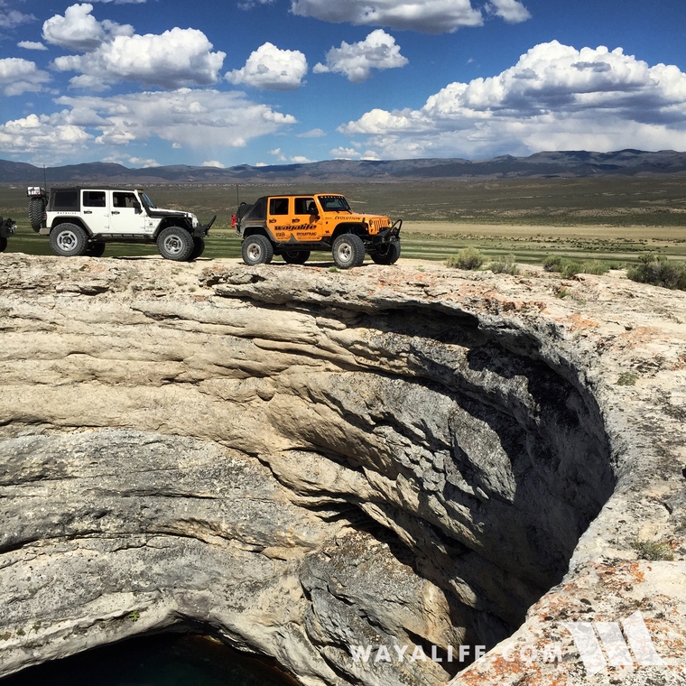
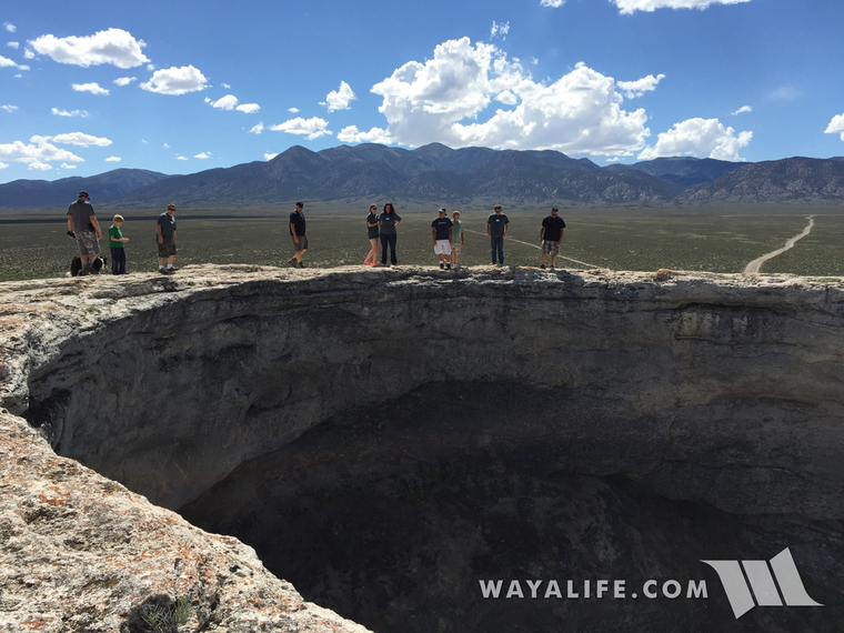
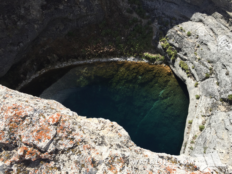
50' in diameter wide and with a 30' sheer drop to the 180°F water below, Diana's Punch Bowl is also known as the Devil's Cauldron.
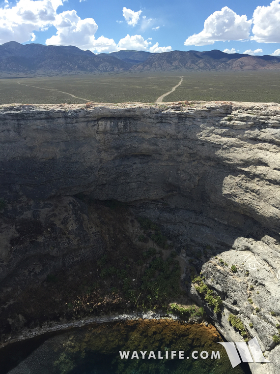
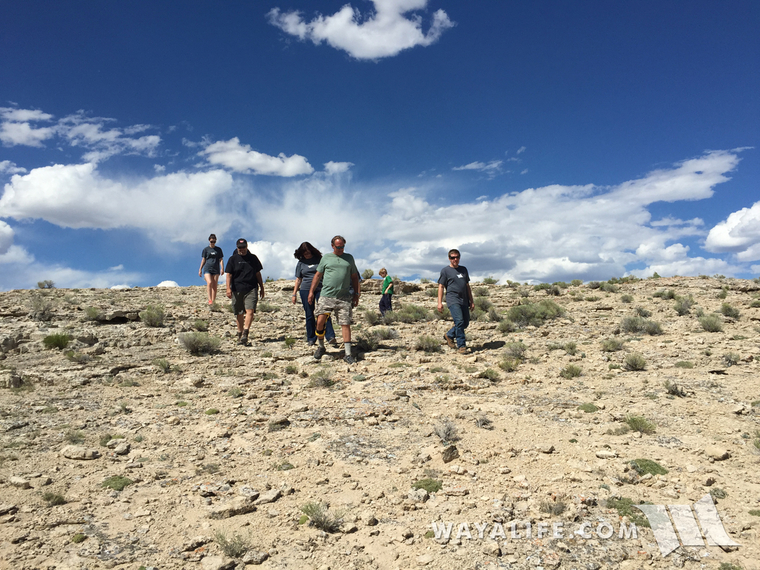
Hiking down to where the waters flow below the Punch Bowl.
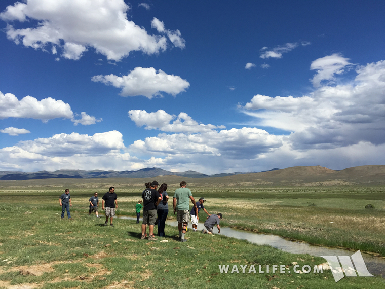
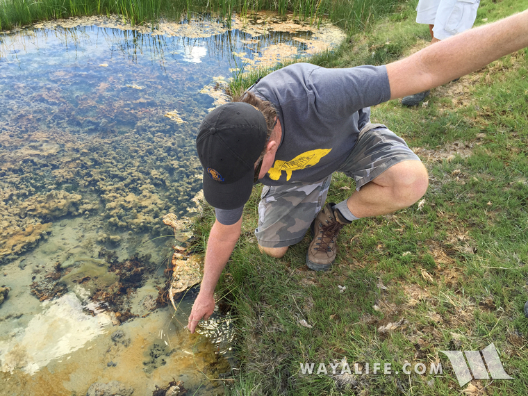
With a little help from Doug to keep him from falling in, Moochie decides to test out the water.
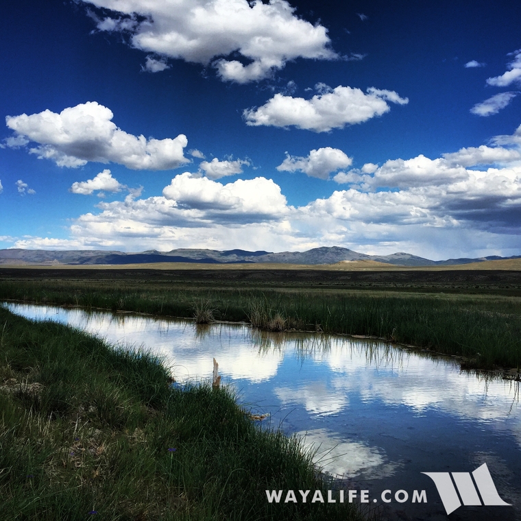
View looking to the east.
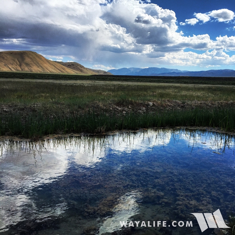
View looking south across the Monitor Valley.
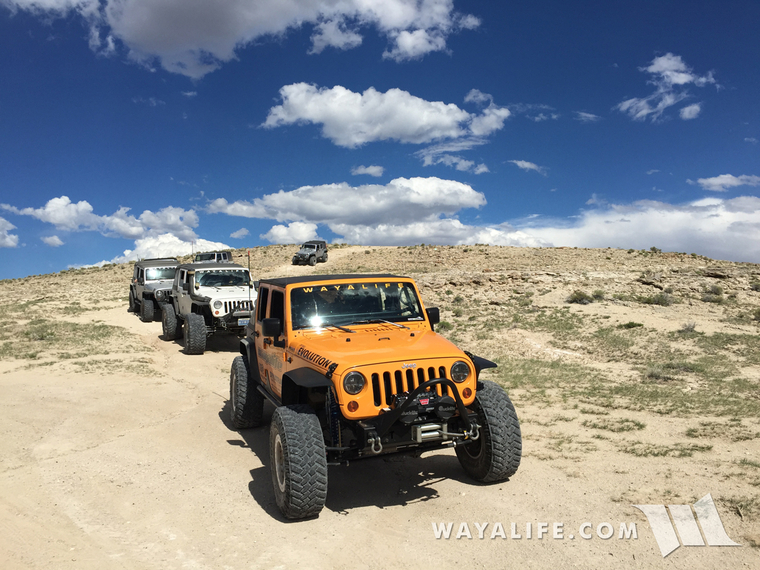
Time to move on out!
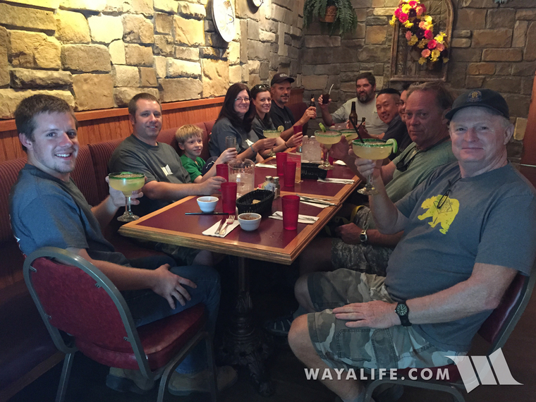
Chow time at our home town for the night - Ely!
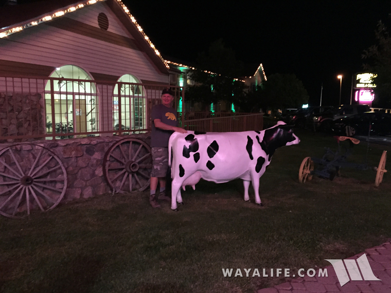
Moochie getting friendly with one of the locals.
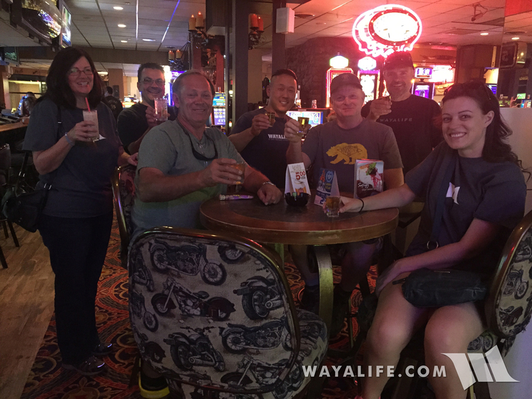
And the party continues into the night!
On June 13, 2015, a handful of the original party and a few new members headed back out to the Nevada desert, to pick up where we left off and with the purpose of finishing what we started. Over the course of 4 days, we headed east to the town of Ely and along the way, made a stop over at Grimes Point, the Stokes Castle, Toquima Cave and Diana's Punch Bowl. From there, we headed north, visited the ghost town of Metropolis and then got back on the California Emigrant Trail and headed west. After a stop over at the California Trail Interpretive center before setting up camp at the Rye Patch Reservoir. The following day, we officially picked up where we left off the year before and crossed what most emigrants considered the most difficult length of the Carson Route - "the 40 mile desert" and then pulled into Virginia City to spend the night in the oldest and longest running hotel in the state of Nevada - The Gold Hill. To complete our trip, we crossed the Sierra Nevada Mountains along a historic route connecting Virginia City, NV to Marysville, CA known as the Henness Pass Trail and along the way, stayed the night in the old mining town of Downeyville.
This thread highlights all the fun we had with our good friends and I hope you enjoy the photos.
Shot of the California or Bust Part 2 Party showing up at Camp WAYALIFE the night before we headed out.
To good times ahead!
CHEERS!!
And the festivities continued well into the night - CHEERS AGAIN!!
Day 1 : Trek to Ely
Meeting up with the crew the following morning.
Making our first stop on our way to the eastern edge of Nevada - Grimes Point.
Jason trying to decipher the petroglyphs on a boulder that we came across on our short hike in the area.
People had been in this area and creating petroglyphs here as far back as 8,000 years ago.
Back on the road again and heading east along the U.S. Highway 50, also known as the Lincoln Highway or "The Loneliest Highway".
Our next stop was over at the Stokes Castle in Austin which was built back in 1897 and used briefly as a summer home by J.G and Anson Stokes.
Making a stop in town for some lunch and to enjoy a blackberry shake!
On the road again and continuing our trek east.
Pulling off of pavement and getting ready to rocket down what Cindy and I like to call a "Nevada Superhighway"! They're all dirt, super wide, often smoother than pavement and you can really jam on them for what seems like forever.
Our next stop of the day was over at Toquima Cave.
Getting up to the cave requires you to scramble up a few rocks.
Taking a peek inside.
It sucks that something as cool as this has to be fenced off like this but without it, the yahoos would for sure destroy it.
Between 3,000 and 1,500 years ago, Toquima Cave was used by Native Americans as a temporary shelter and in it, they left over 300 independent pictographs.
From the cave looking south and down at our Jeeps below.
Back on another Nevada Superhighway.
Our next stop was over to a natural hot springs known as Diana's Punch Bowl.
50' in diameter wide and with a 30' sheer drop to the 180°F water below, Diana's Punch Bowl is also known as the Devil's Cauldron.
Hiking down to where the waters flow below the Punch Bowl.
With a little help from Doug to keep him from falling in, Moochie decides to test out the water.
View looking to the east.
View looking south across the Monitor Valley.
Time to move on out!
Chow time at our home town for the night - Ely!
Moochie getting friendly with one of the locals.
And the party continues into the night!
