It's hard to imagine there was actually a time when people flew airplanes, back before the invention of things like GPS, radar or even rudimentary radio communication to help guide them to their destinations. Back then, pilots had to rely solely on what they could see and at night or in bad weather, that wasn't a whole lot.
A few months back, I heard a story about large concrete arrows in the ground that you can still find scattered all across the country. From what I understand, they were constructed between 1923 and 1933 by the United State Post Office and the Department of Commerce and were a part of the first Transcontinental Airway Beacon System. Essentially, they were a network of visual beacons established to help early pilots navigate their way from New York to San Francisco and eventually, built all across the United States in an effort to connect all the major cities within it. Positioned approximately 10 miles apart (some closer and others further apart depending on terrain), most of these beacons were towers built on 50 foot concrete arrows that were painted bright yellow and had a 24" diameter rotating light mounted on top. Additional red and green lights were also used to help provide useful information in Morse Code utilizing the following letters, W, U, V, H, R, K, D, B, G or M, to represent the numbers 1-10. To help remember the sequence, pilots made the following phrase out of it, "When Undertaking Very Hard Routes Keep Directions By Good Methods."
By 1933, there were as many as 1,500 beacons spanning 18,000 miles but, thanks to a new Low Frequency Radio Range system that was implemented in 1929 to replace the original visual system, most of the towers were shut down and dismantled as scrap metal for World War II. And, with the exception of a few that are still operating in Western Montana under the Montana Department of Transportation Aeronautics Division, the very last official tower was shut down in 1973.
Since first hearing about these mysterious concrete arrows and the fact that the Transcontinental Airway System came right through Northern Nevada, I've been thinking of little else than to find them. After spending countless hours doing research online, pouring over old maps and trying to verify locations using Google Earth, we loaded up our Jeep and headed out. Here are a few photos from our recent expedition and what we found. I hope you enjoy.
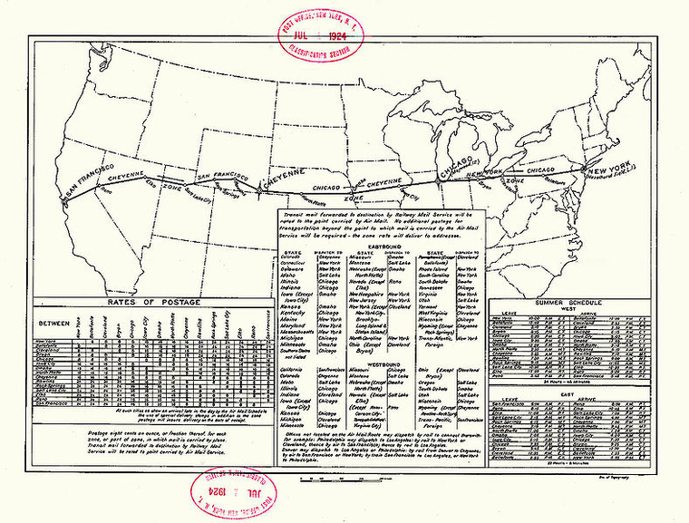
Here are a few old maps that I found on the internet of what the original Transcontinental Airway System route would have been.

This is what it would have looked like in section.

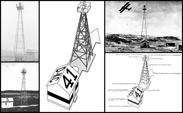
Here is an illustration and some old photos that I found on Google of what many of the beacons looked like.
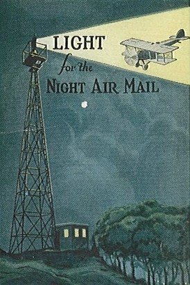
This is a promotional ad for Air Mail service that I found online.
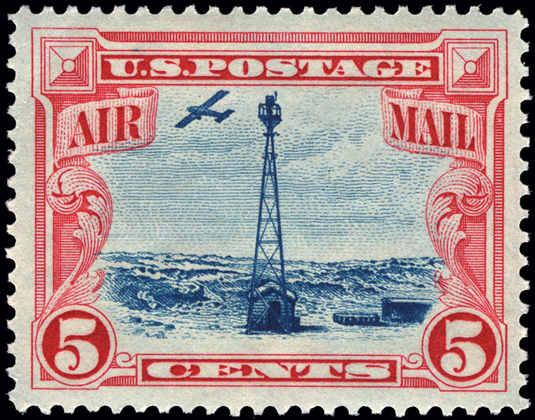
A postage stamp for Air Mail service back in the day.
Here's a Google Earth view of the very first concrete arrow we tried to get out too. Unfortunately, it was way too close to Reno and so the trails in this area were closed to vehicular traffic. You can still get out to it on foot but, it would require a several mile hike. We may still try to get out to it someday but, for the purposes of this trip and lack of daylight, we decided to move onto the next destination.
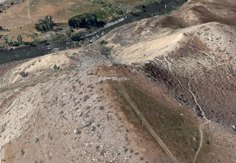
As hard as I had looked, I simply could not find any other concrete arrows in and around the Reno area. Not that they I didn't know the approximate location of them, it's just nothing showed up in Google Earth. In fact, most of the locations that I had found came up with nothing and so, we decided to head deep into the Northern Nevada desert to see what we could find. Here's a shot of one the first ones I could find and knew we could get out to.
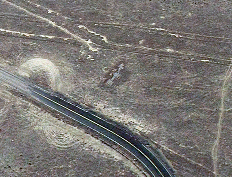
Still further and deeper into the desert, literally hours east of home and far from pavement, I found this one as well.
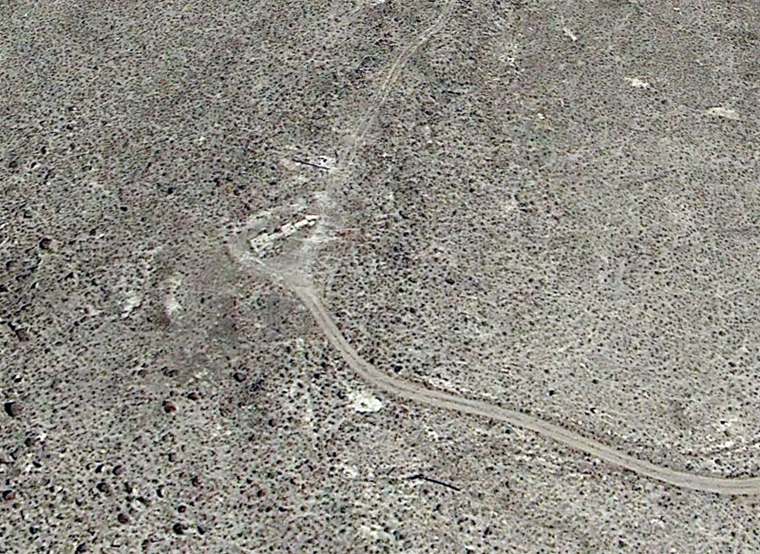
After a long drive east, we headed out to a concrete arrow that I was pretty certain we could find with ease and, here it is.
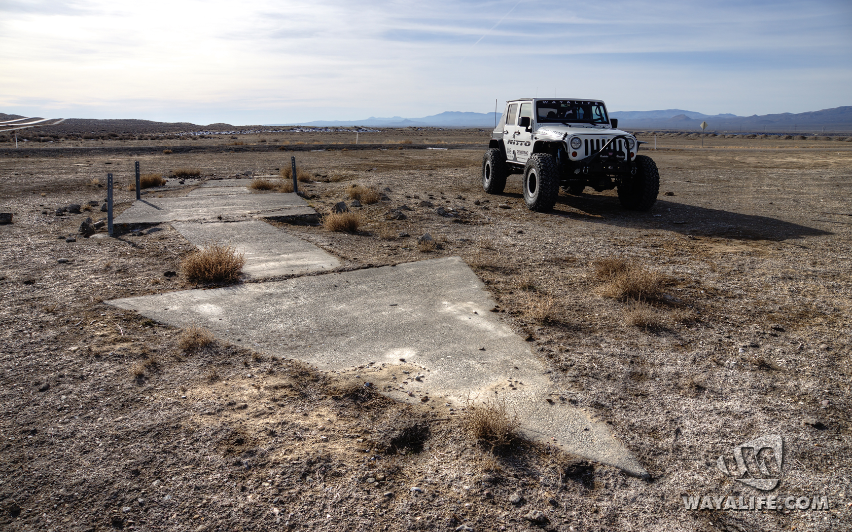
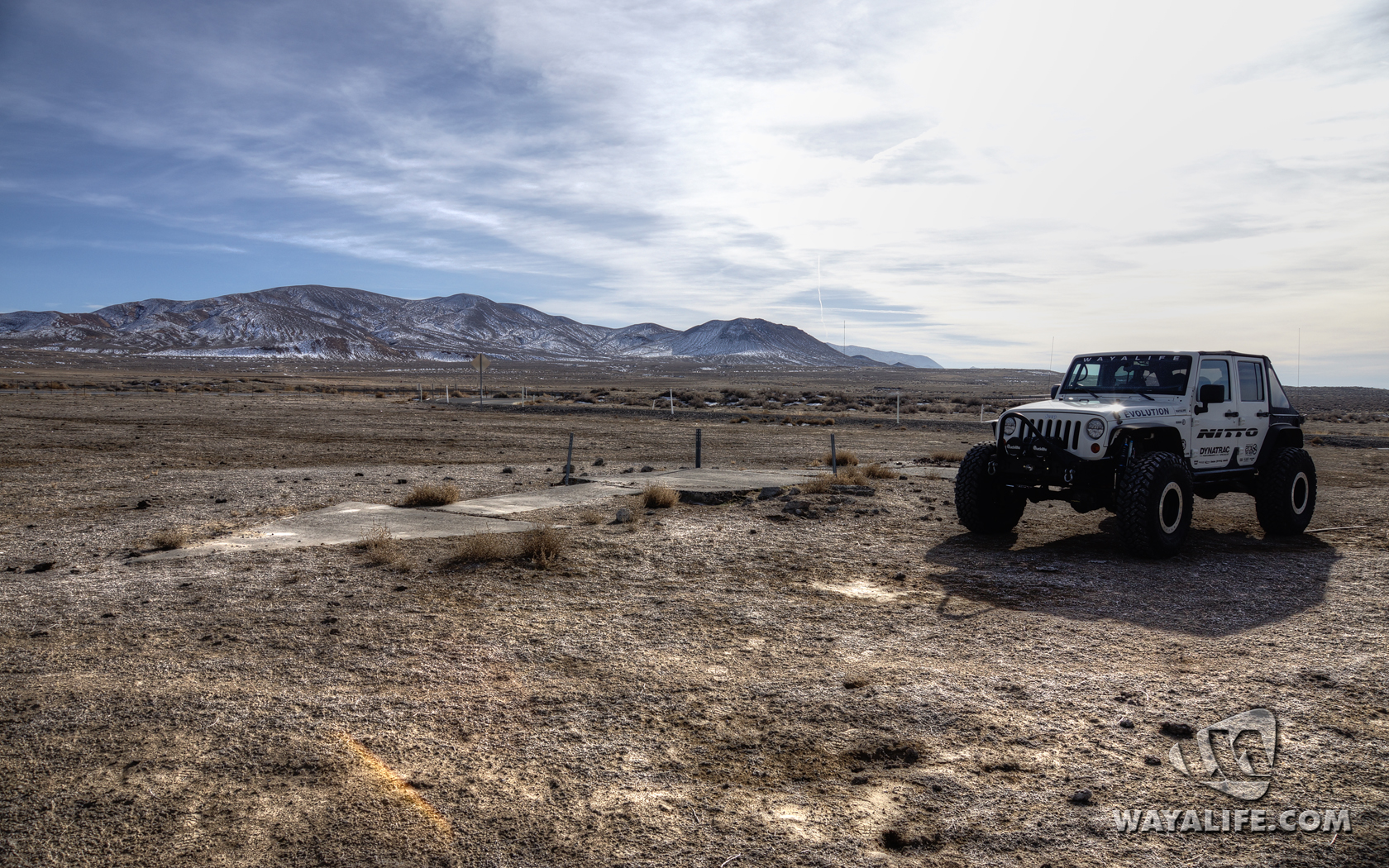
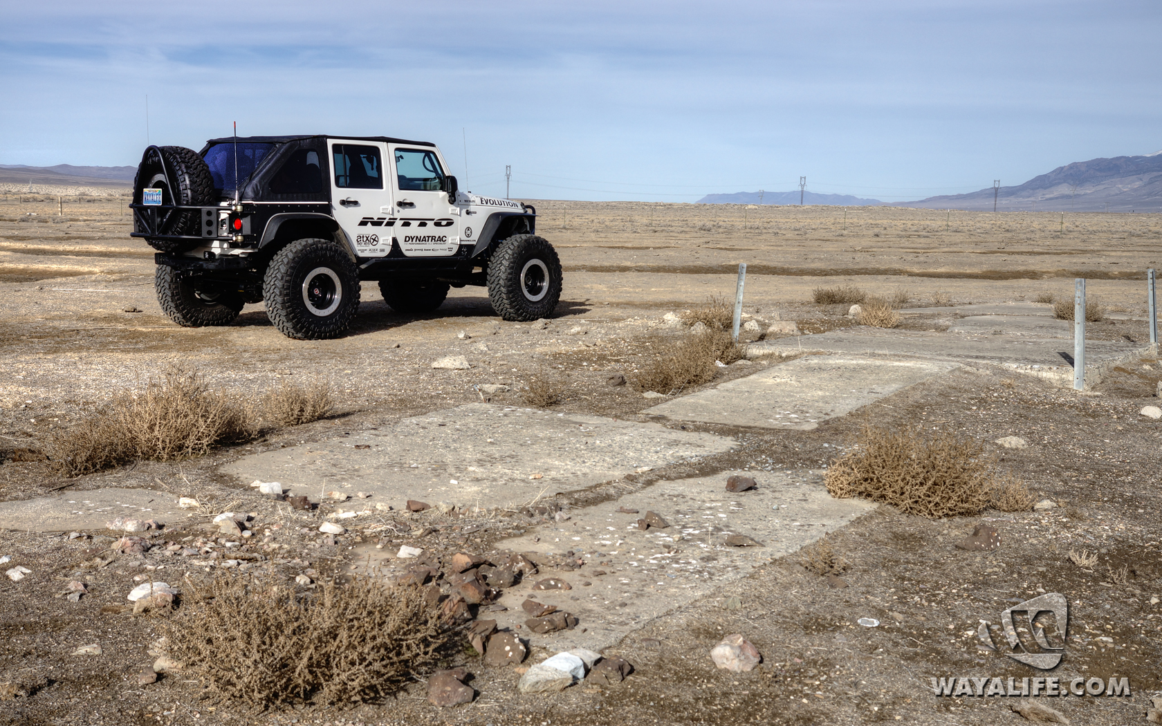
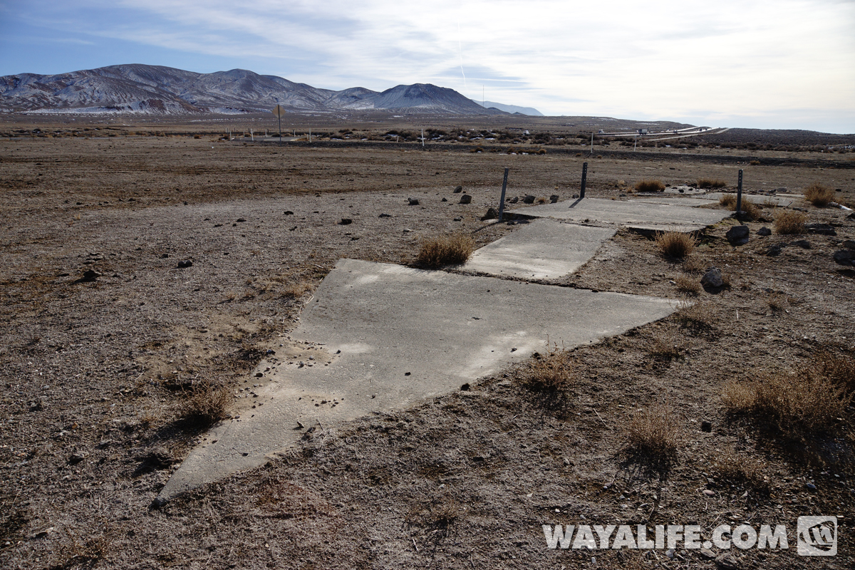
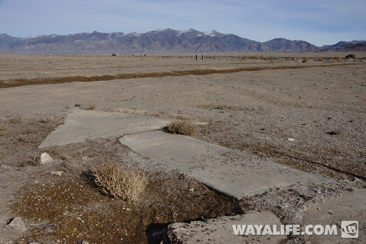
As you can see, the building is all but gone but, the concrete foundation and 3 legs of the tower still remain. Take notice how the arrow angles off in what appears to be a change in course.
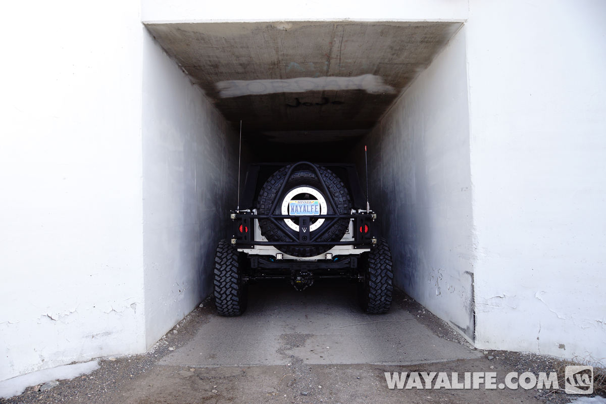
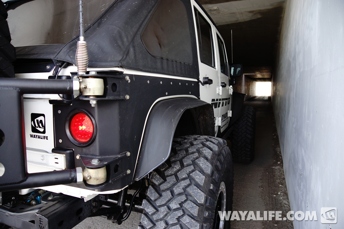
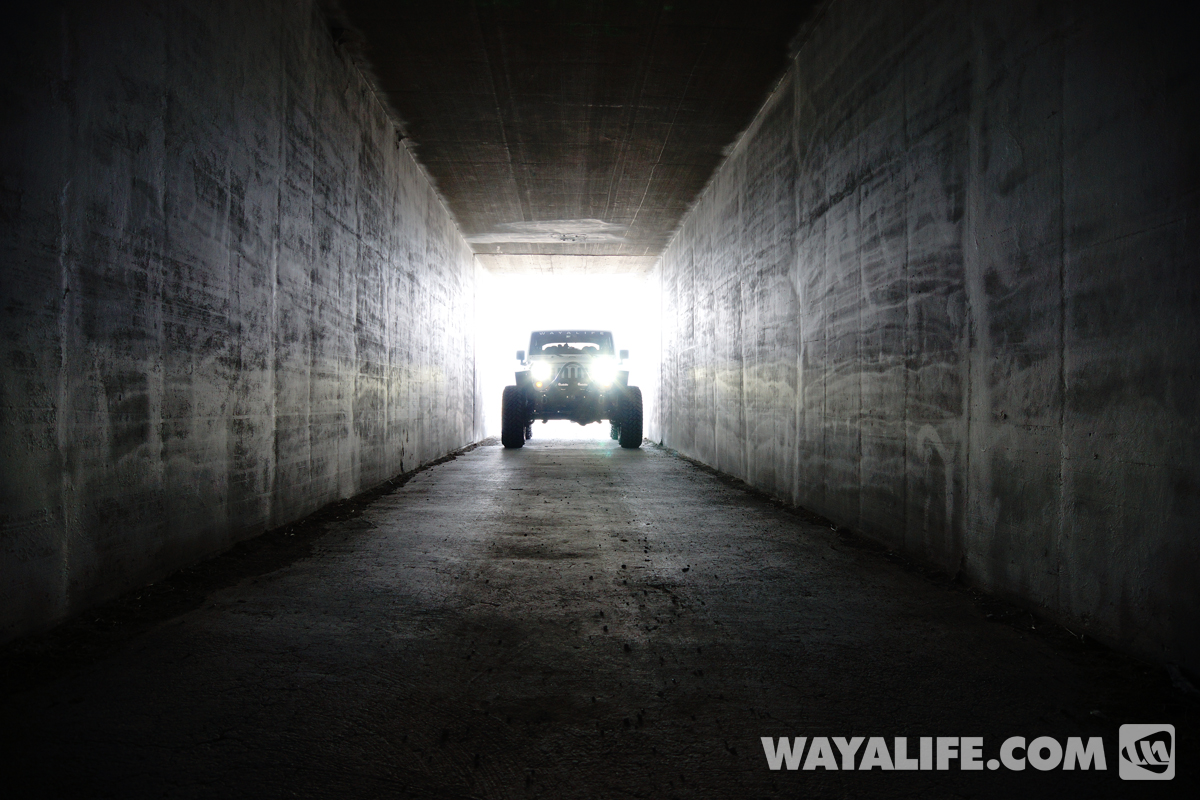
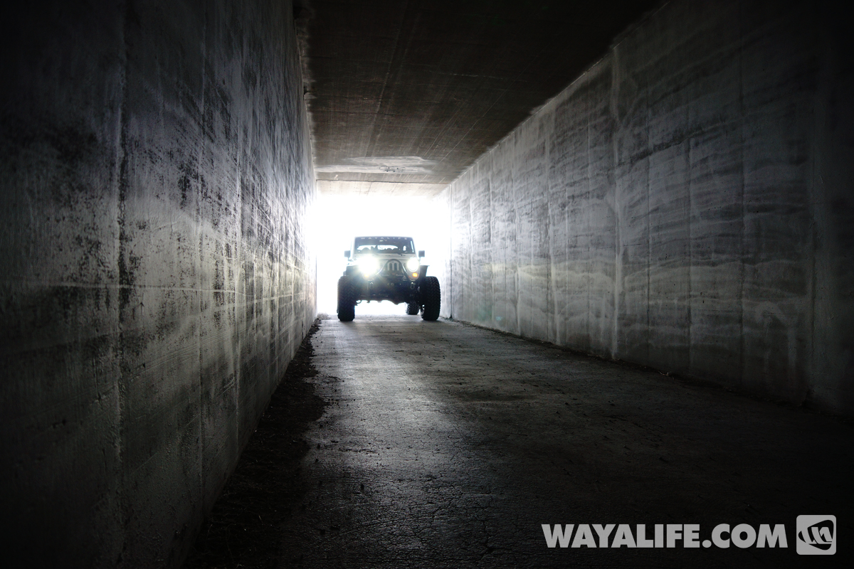
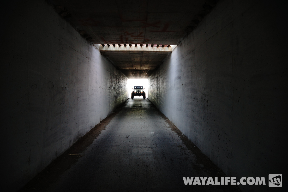
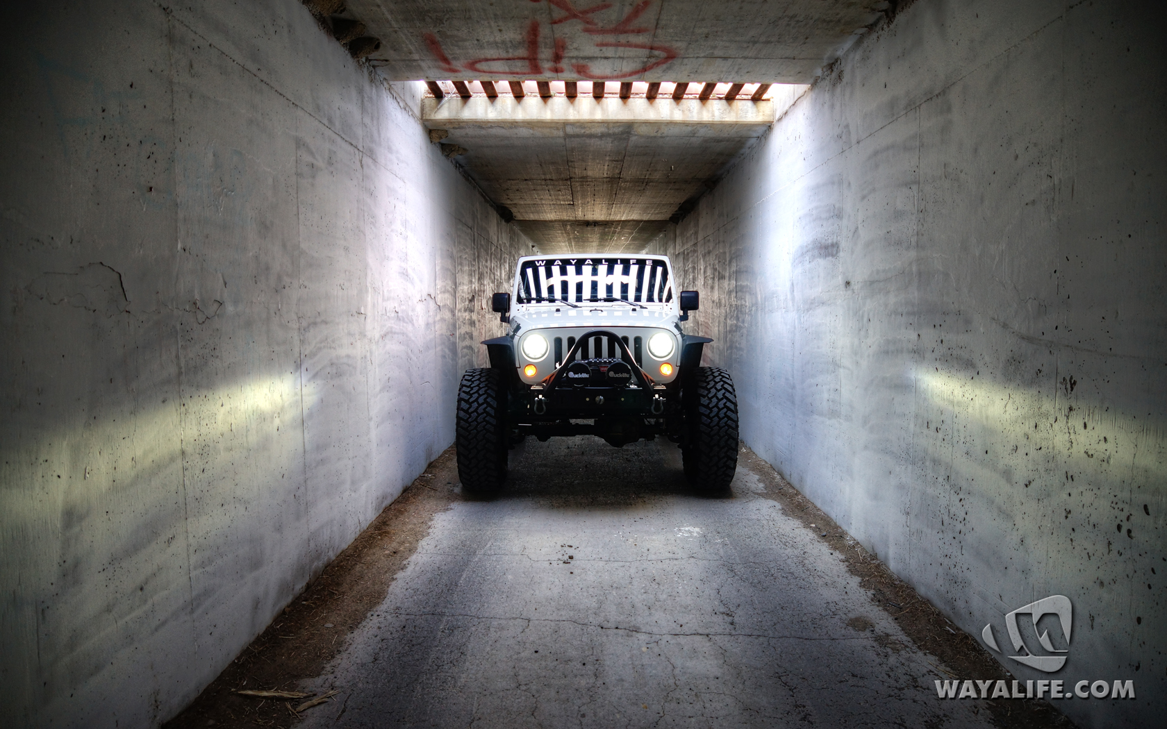
Working our way over to the next beacon site, we found a cool tunnel to drive through.
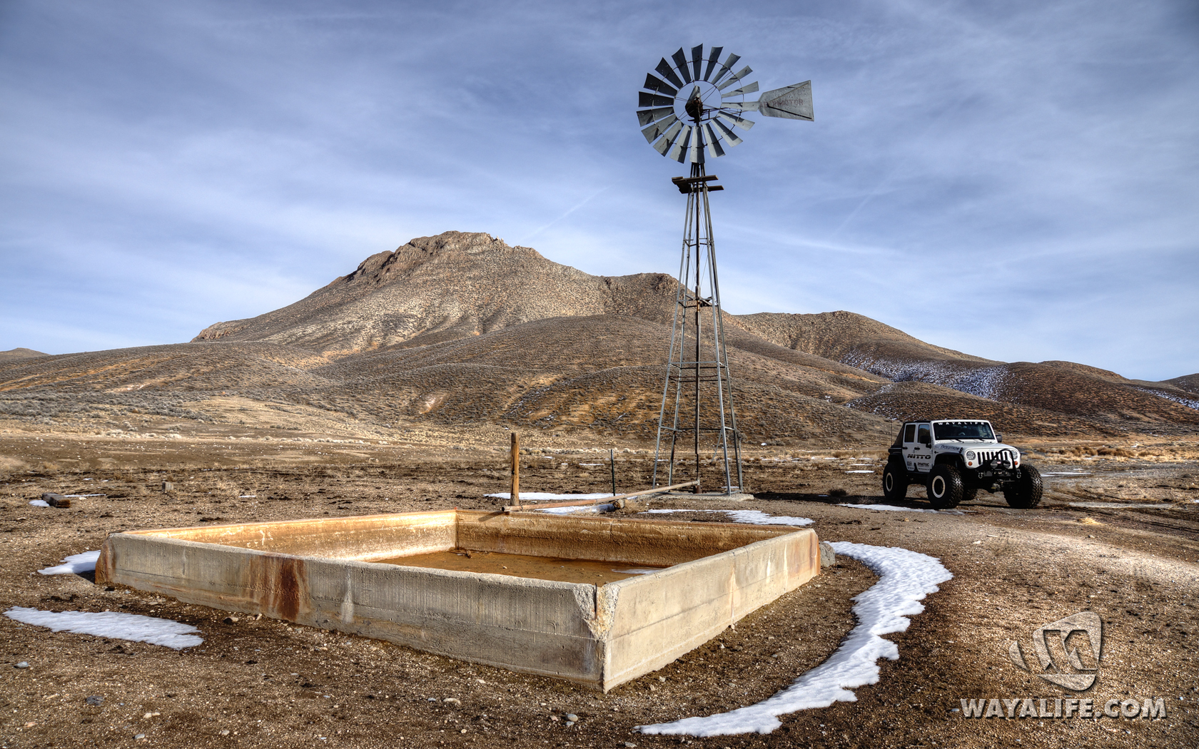
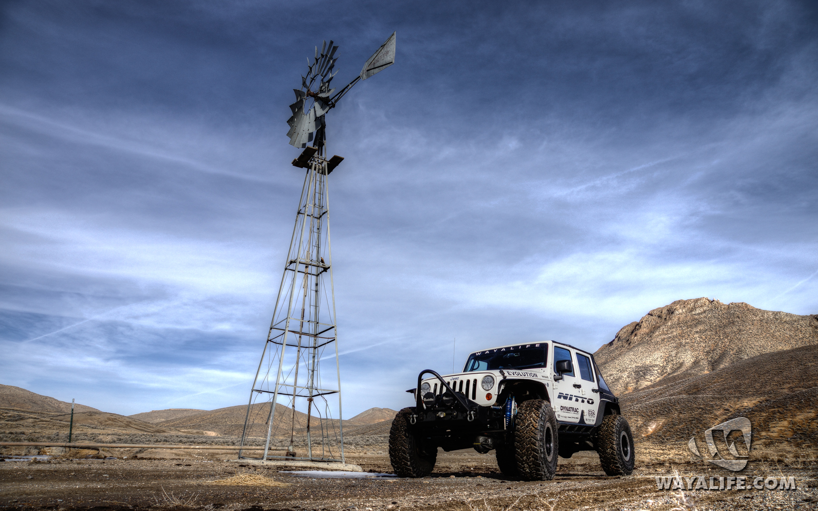
We also came across a historic site called the Loring watering hole.
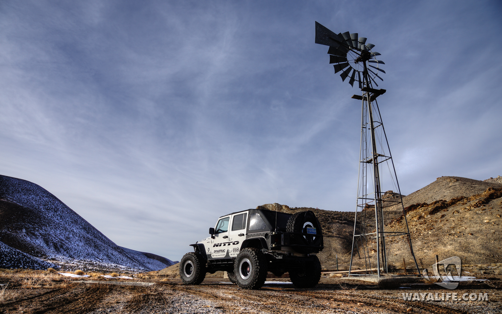
Deep in the middle of nowhere, we finally found our next concrete arrow sitting on top of a small hill. If you look carefully, the freezing fog in the distance almost looks like water.
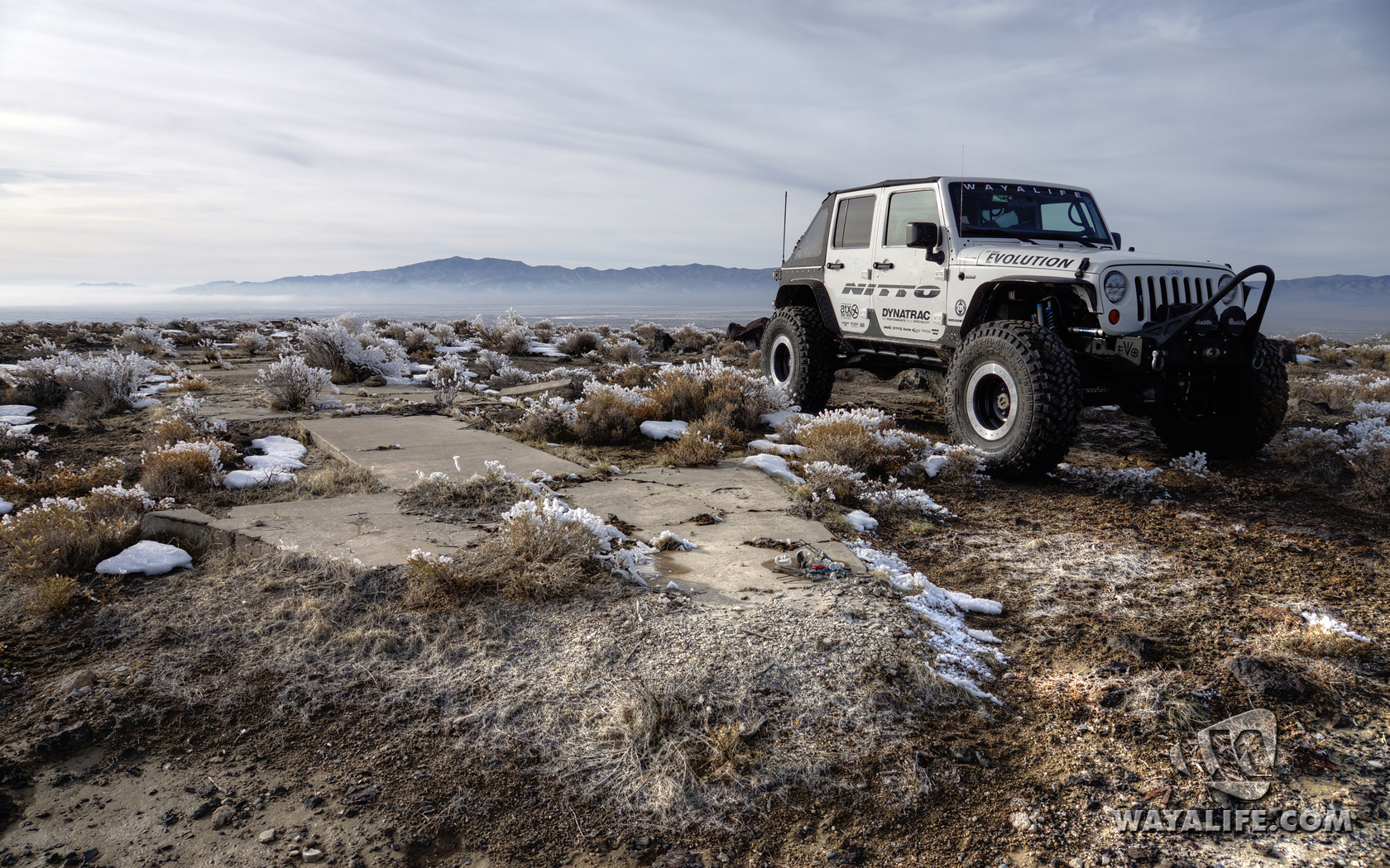
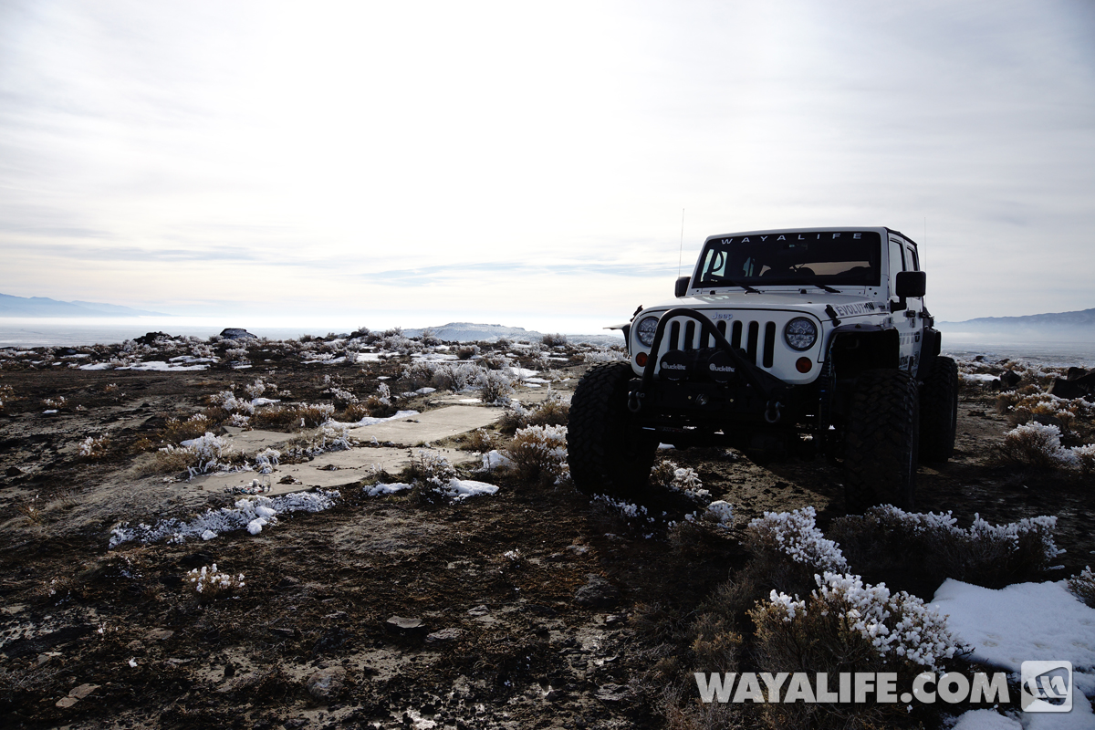
View the arrow looking toward the northeast.
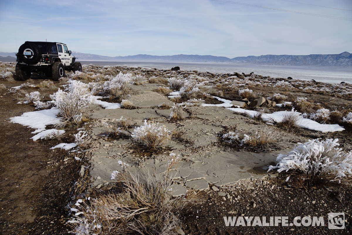
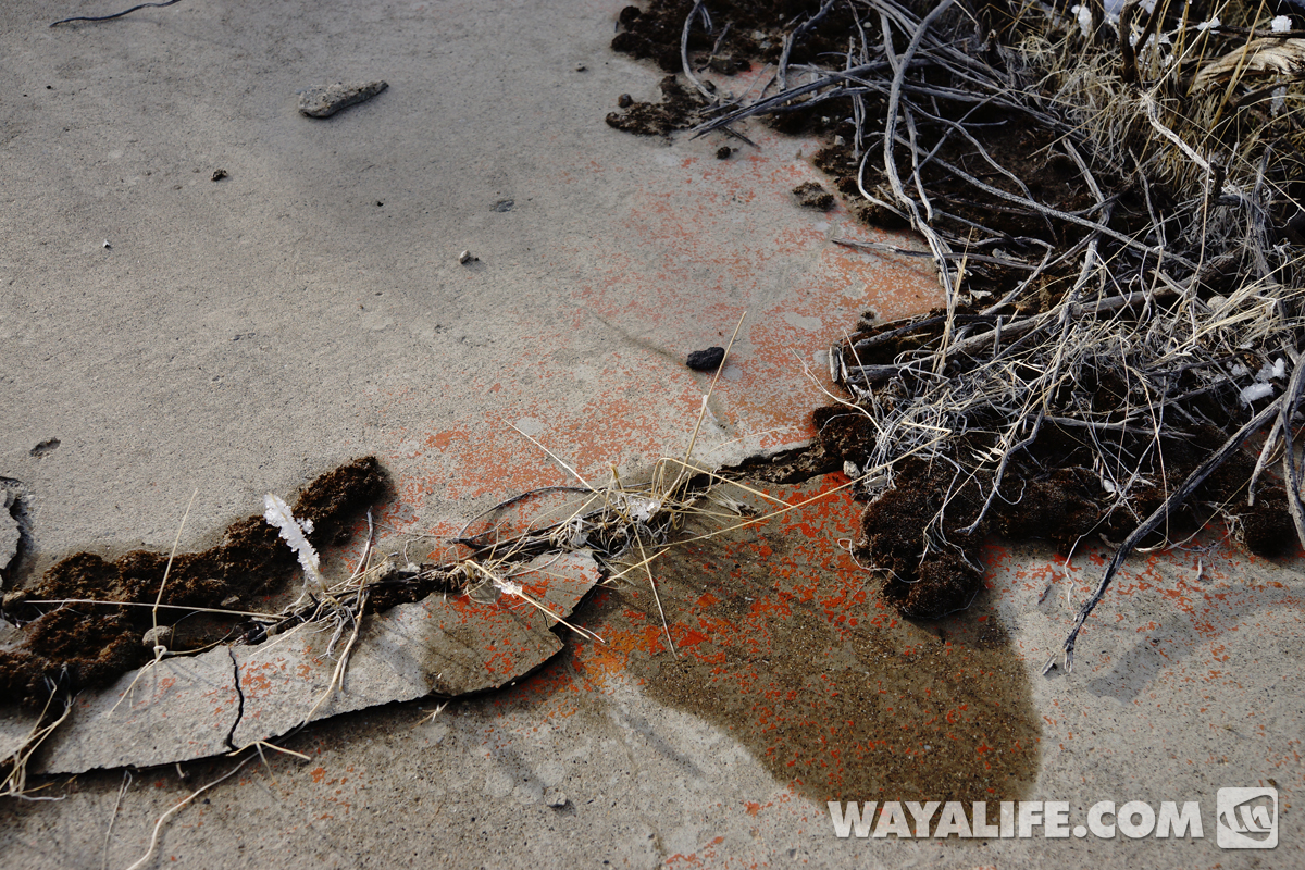
Amazingly, a trace amount of the original orange/yellow paint that was applied to this concrete arrow almost 100 years ago can still be seen here.
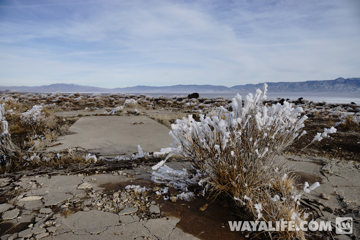
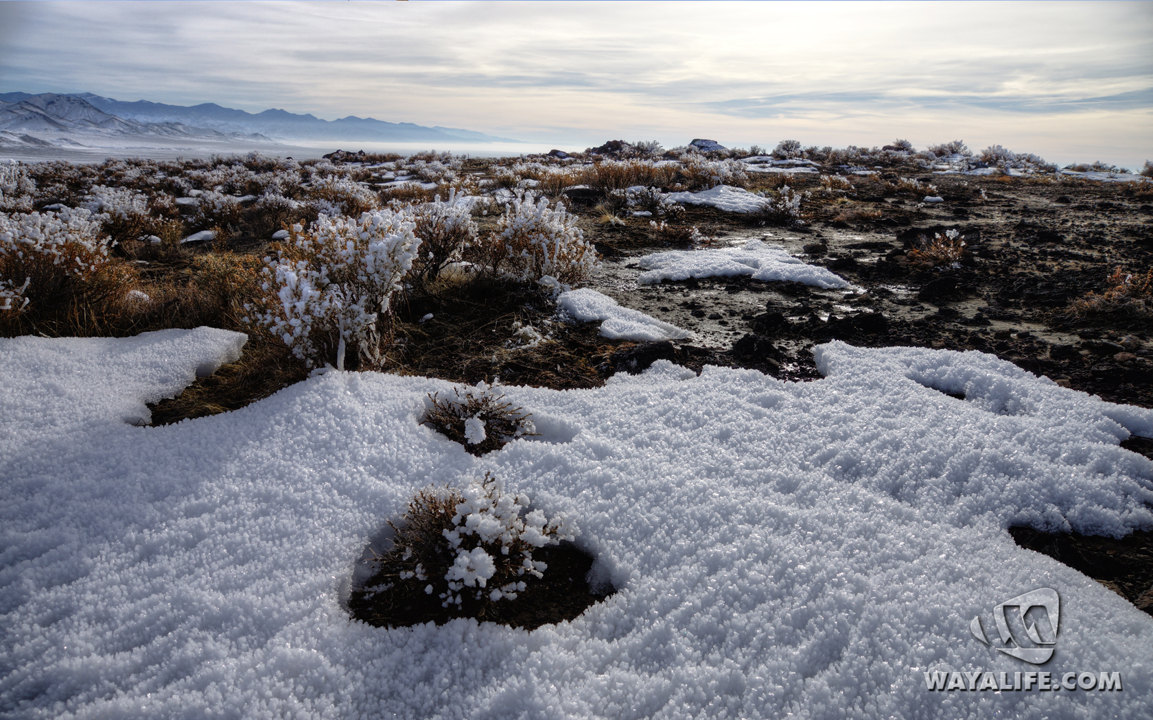
Did I mention how cold it was up here? Here you can see a few shots of the coral like ice that the freezing fog left behind on all the bushes.
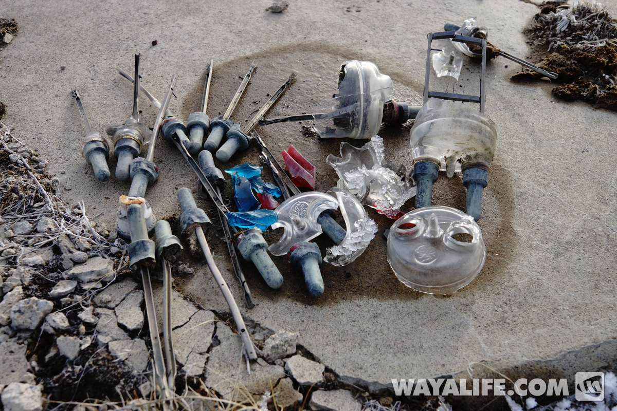
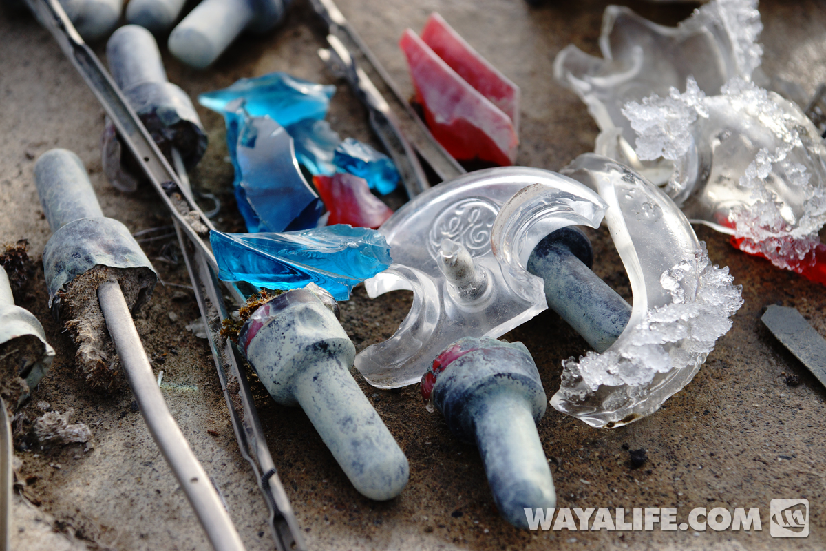
Some artifacts of old broken lights that we found in the area.
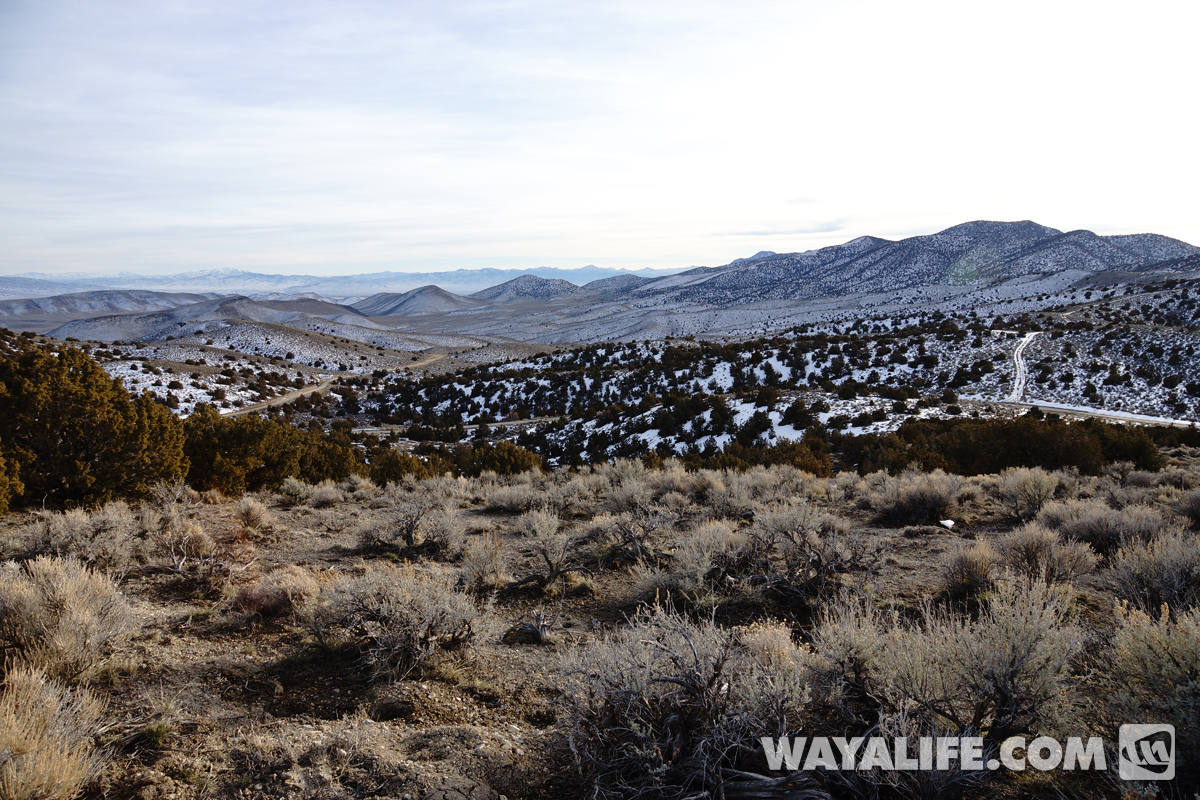
Looking for more concrete arrows in the middle of nowhere.
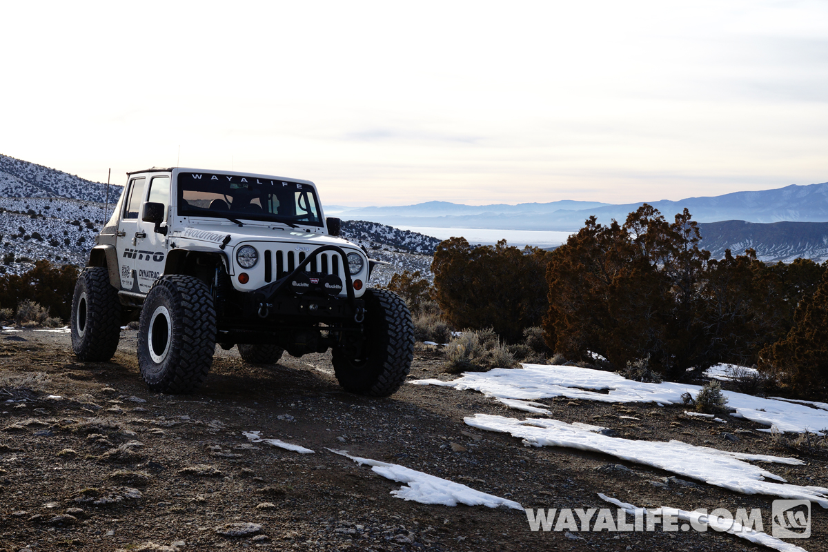
We stopped by several more sites only to find bits of corrugated steel, some broken glass and little else. It was becoming clear to us that a majority of them were lost to history.
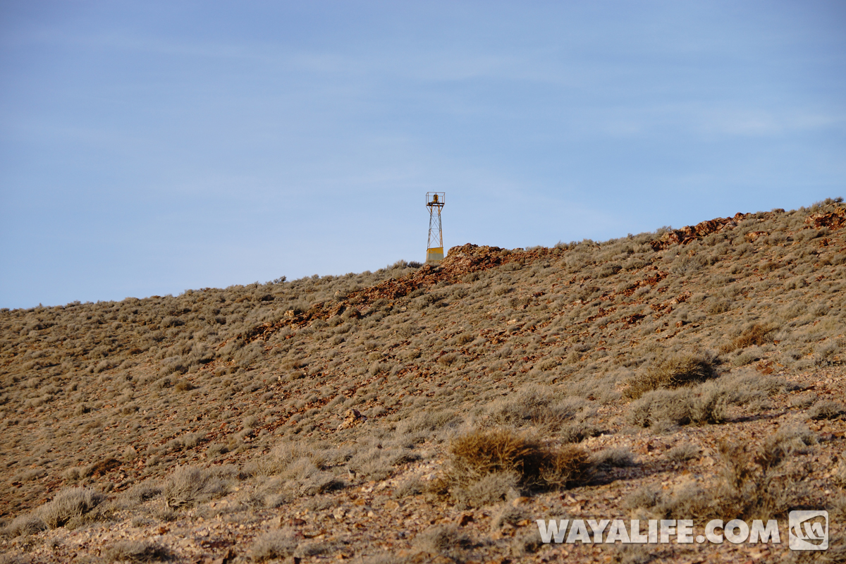
With the sun going down and the temperature starting to dip toward freezing, we approached our final destination of the day - one of the few remaining beacon towers still standing. Unfortunately, there aren't any roads to this one and the photo below is a zoomed in shot. In order to get to it, we had to go on a mile or so hike and all uphill.
Taking a break to catch our breath and enjoy the view behind us.
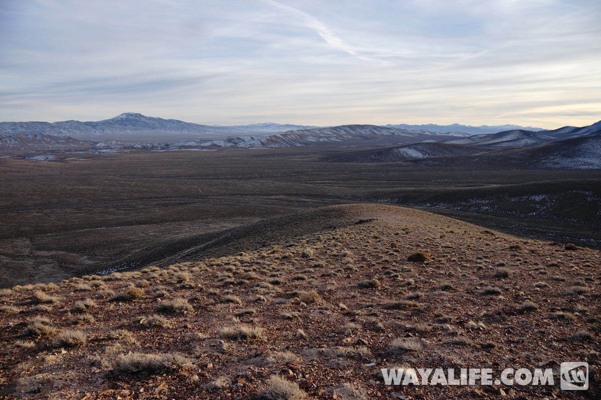
Up on the ridge top and getting closer.
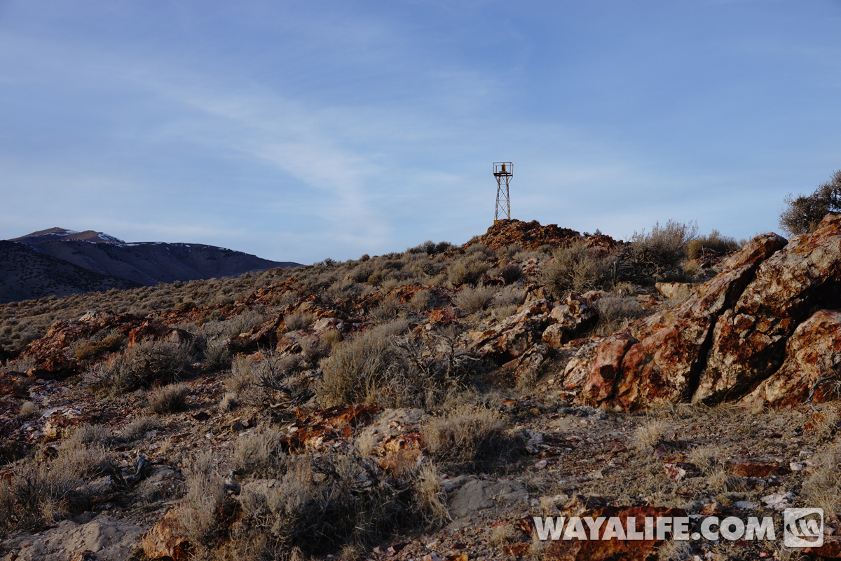
Made it and just before sundown!!
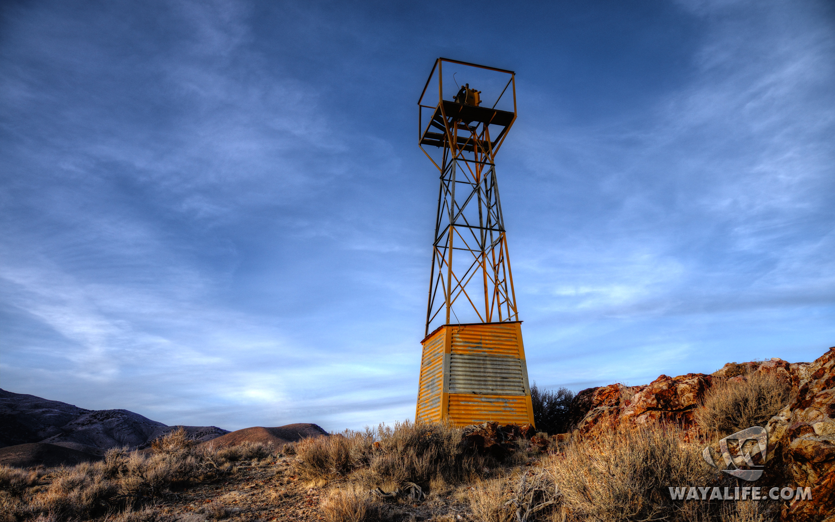
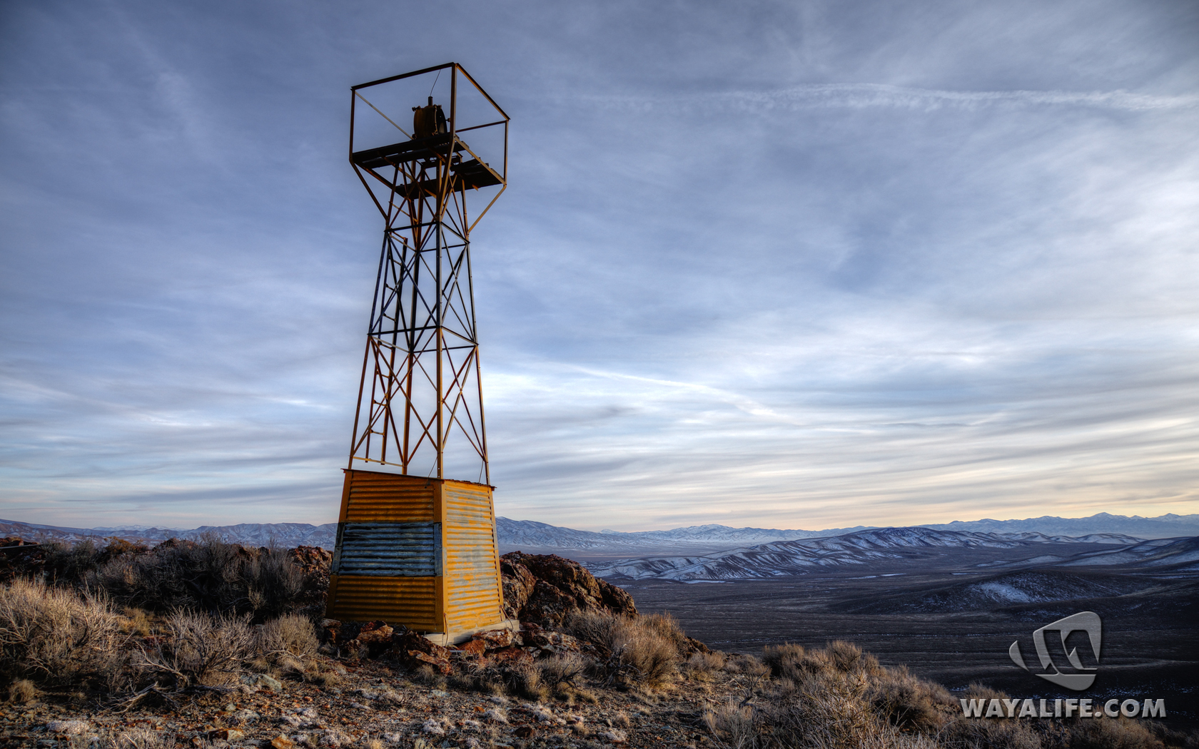
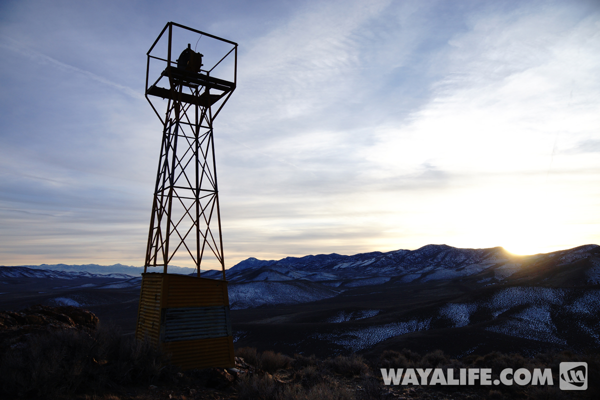
It really was astounding to us to find a historical site like this, one that was close to 100 years old, still standing, completely devoid of graffiti and of bullet holes.
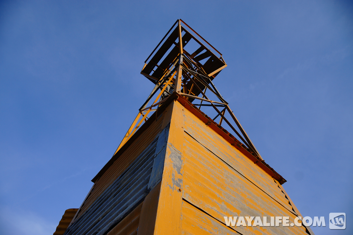
Taking a look inside, nothing was vandalized and it was clean.
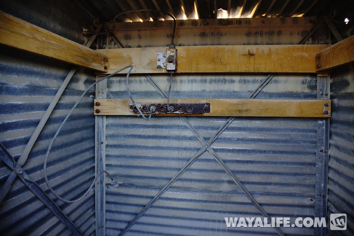
Climbing up to take a closer look at the beacon.
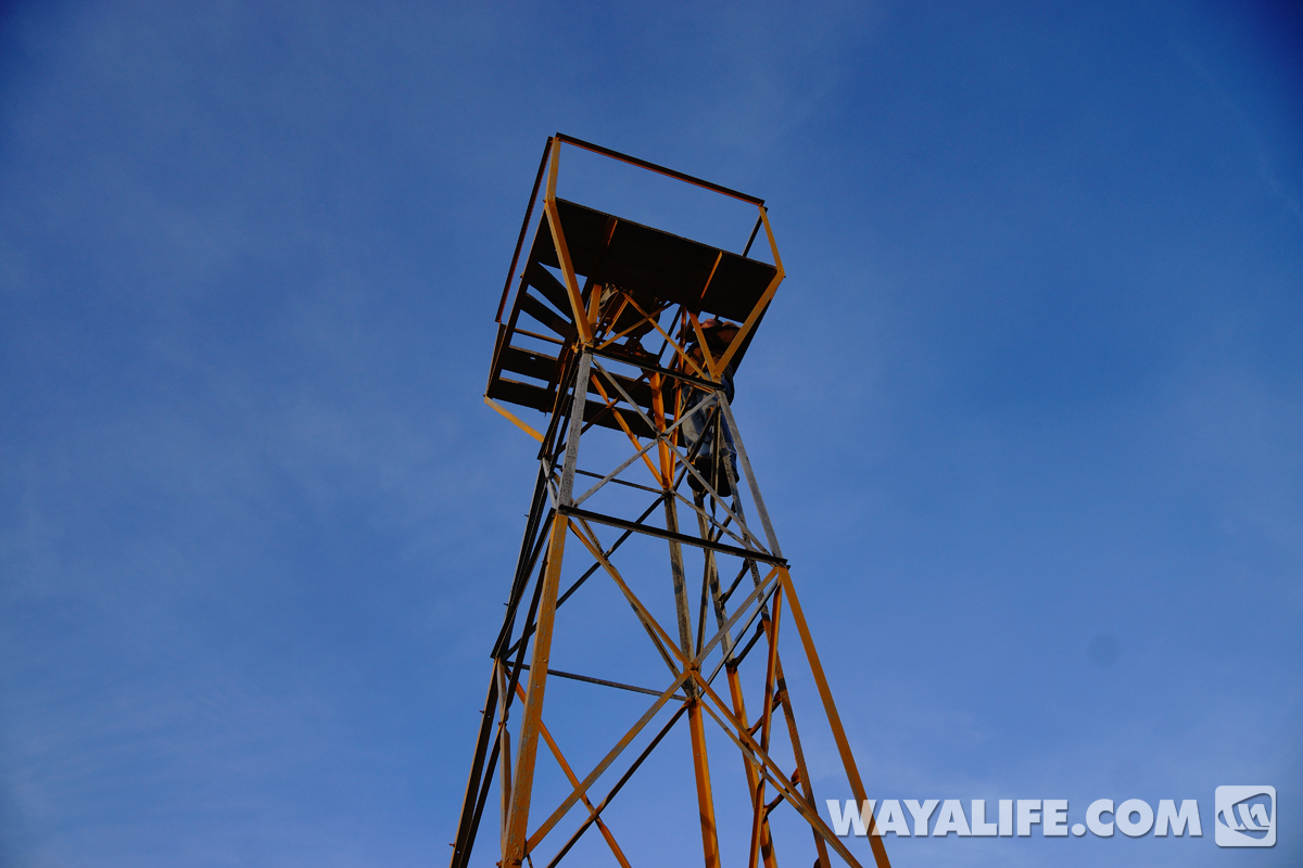
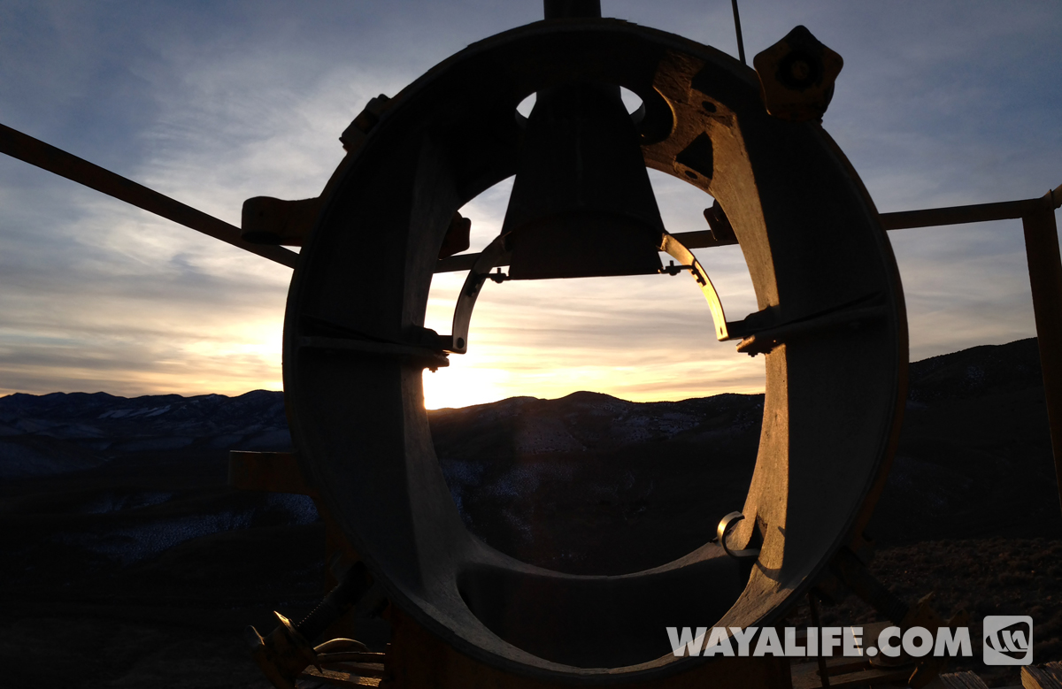
It's not the best photo as I had to use my iPhone to take it but, this is a shot of the actual beacon that was sitting on top of the tower. With the exception of the missing lenses, it looked as if it could be fired up again today.
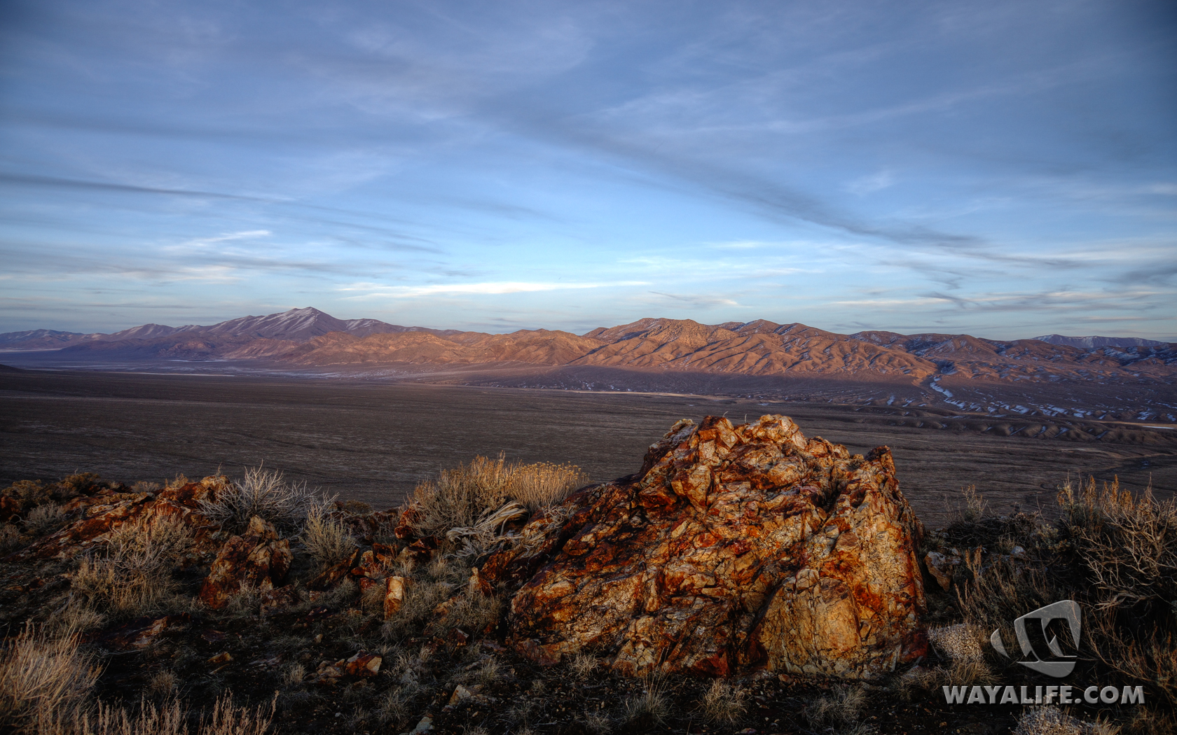
Fly that way!
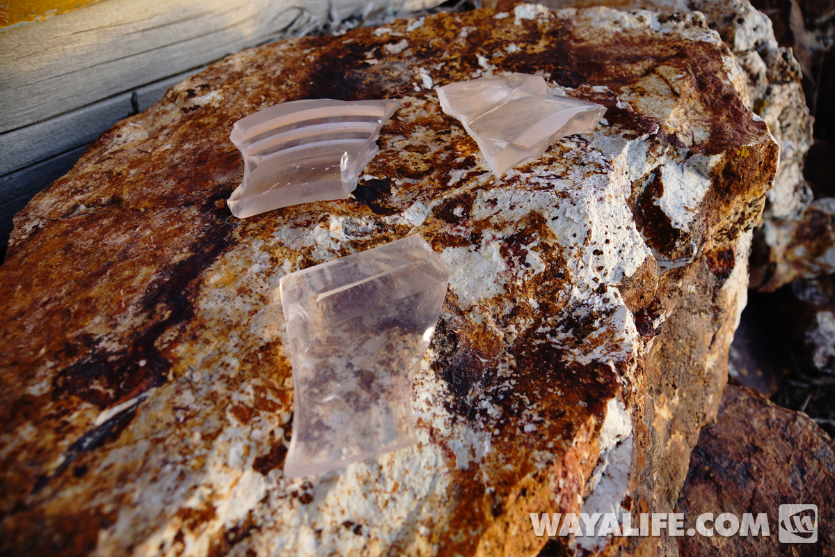
Back on the ground, we found shards of the old 24" beacon lenses. Notice how they've started to turn purple - a clear sign that they've been sitting out and exposed to the sun for a very long time.
Taking a moment to imagine.
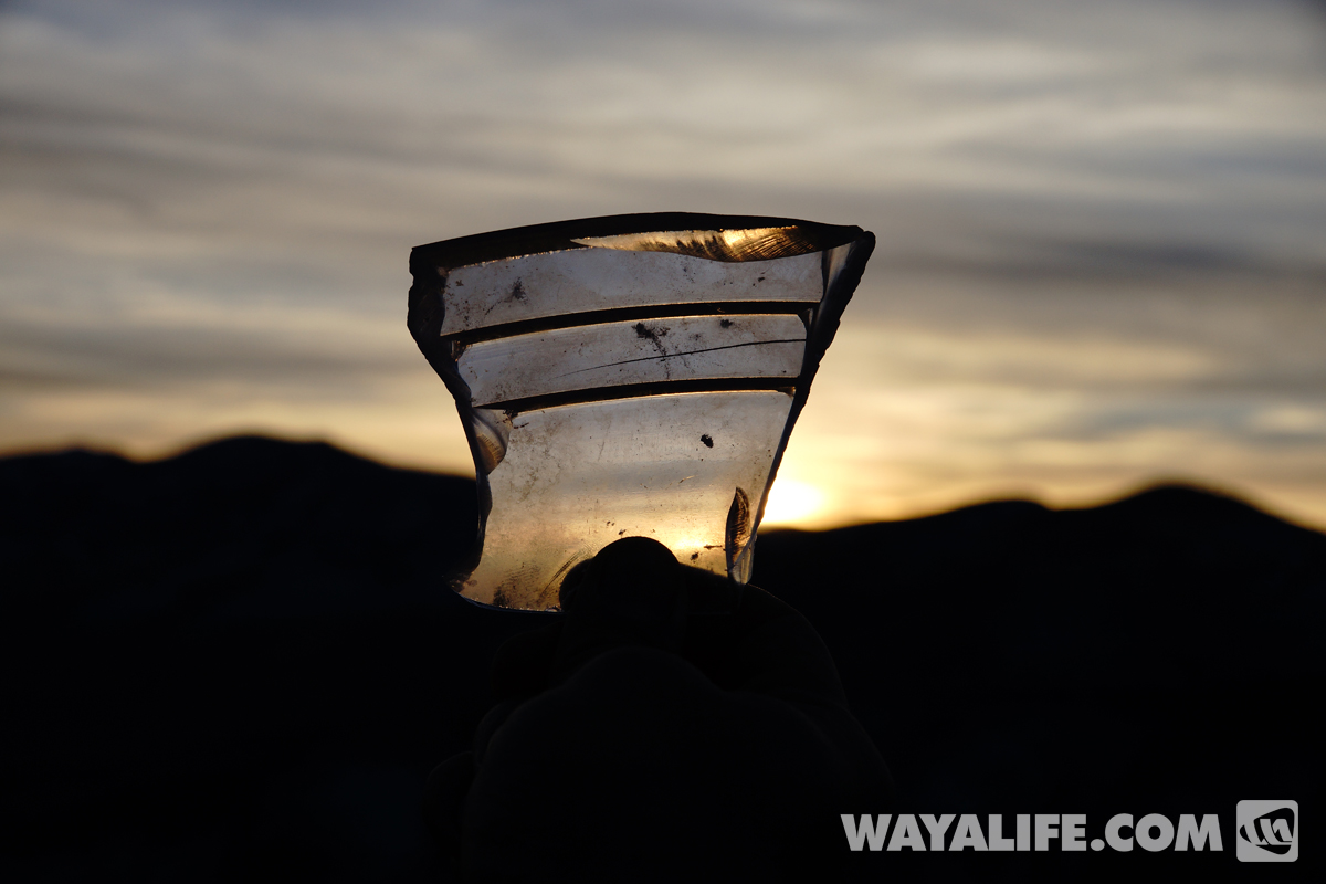
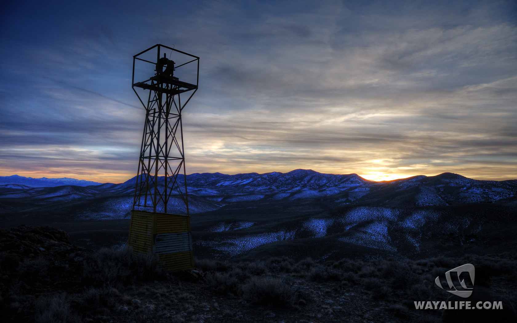
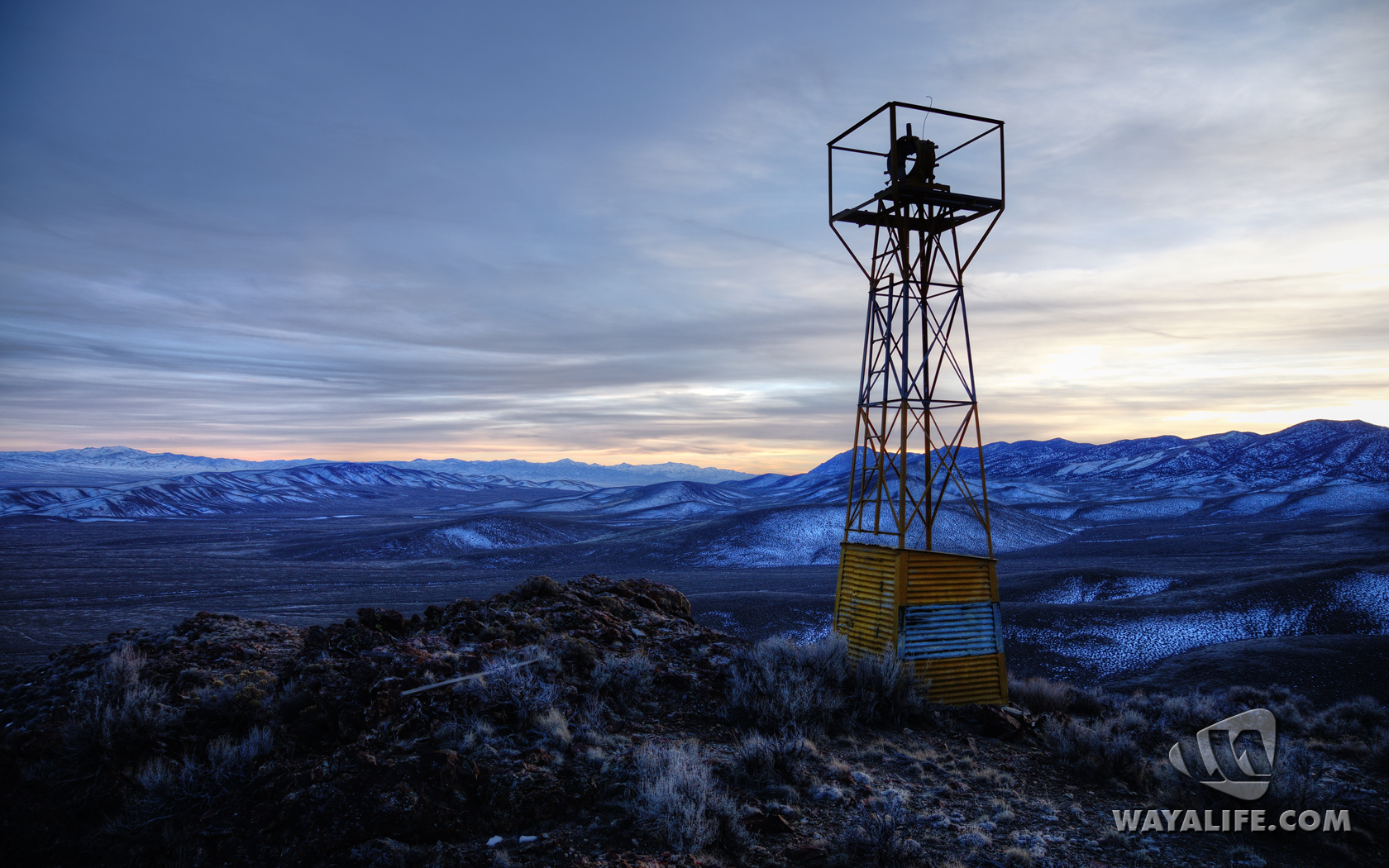
Watching the sun go down before heading back down the mountain.
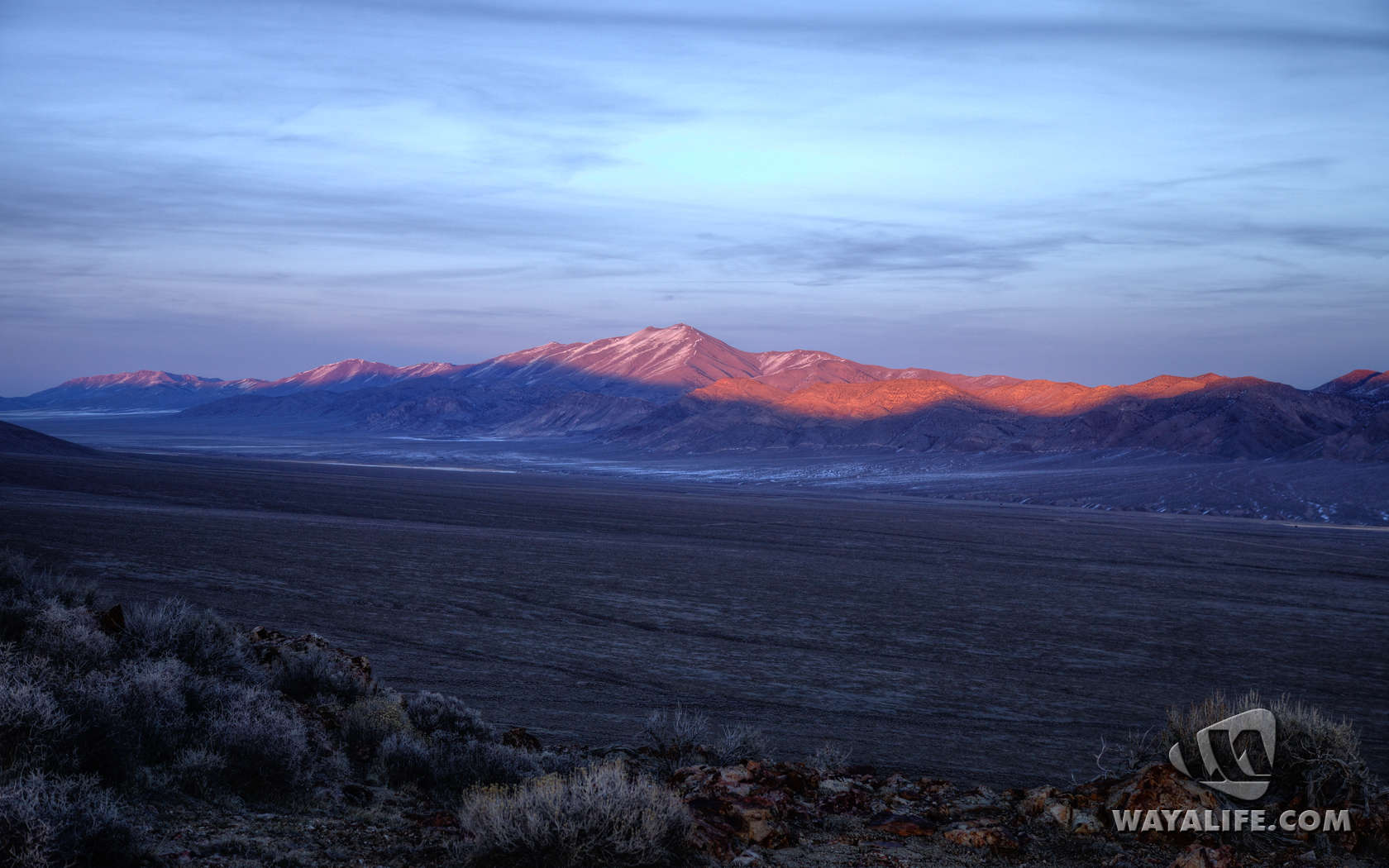
Brrrr!! Time to get back to our heated Jeep. Speaking of which, can you find Moby in this photo?
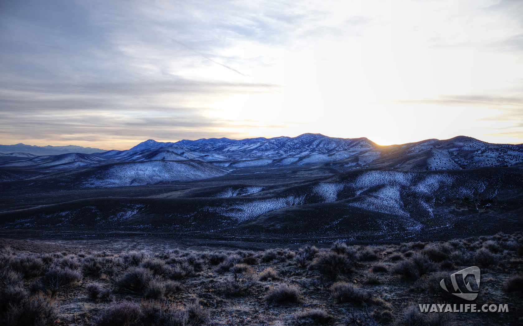
The nice thing about moving is that it helps to keep you warm.
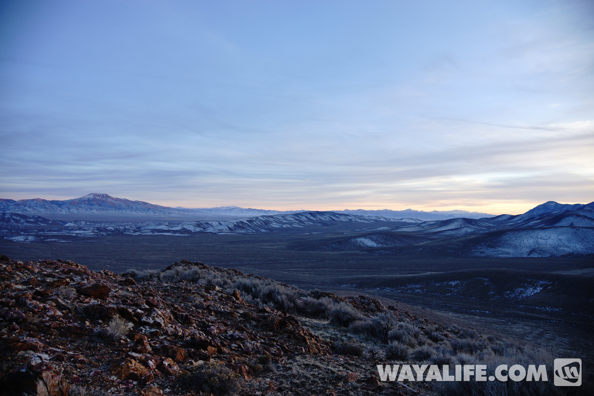
Beautiful skies overhead.
Starting to get all nice an pink.
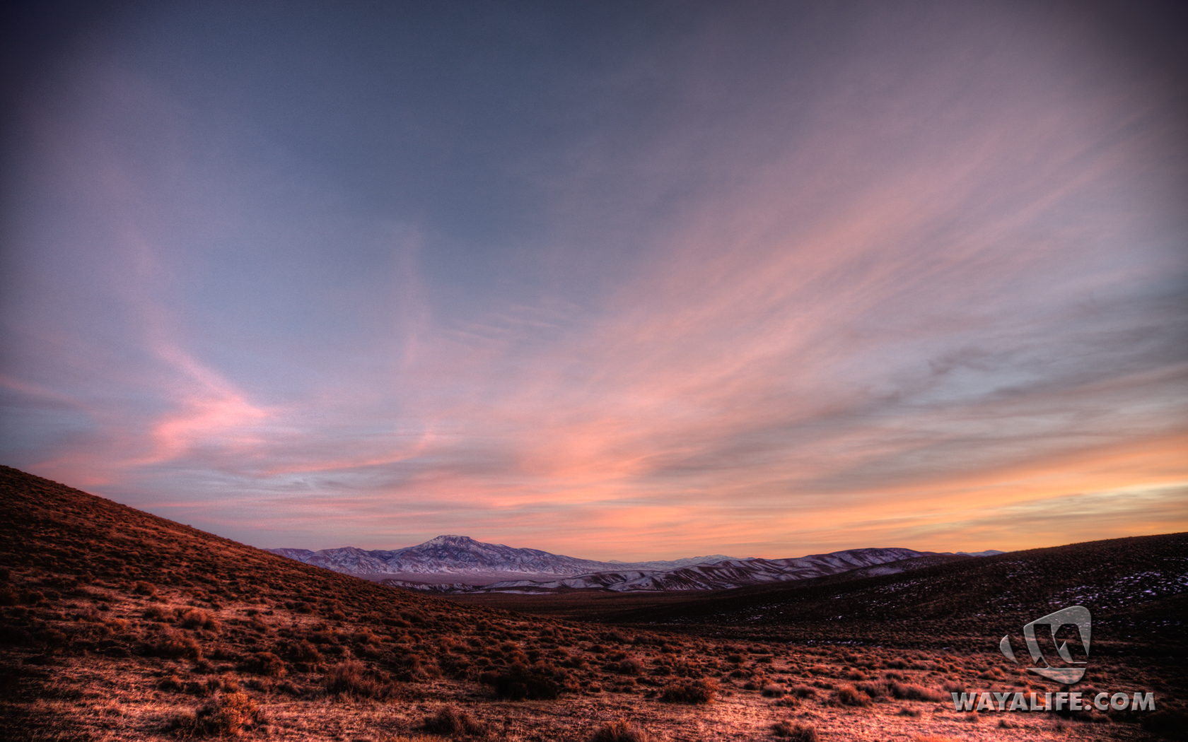
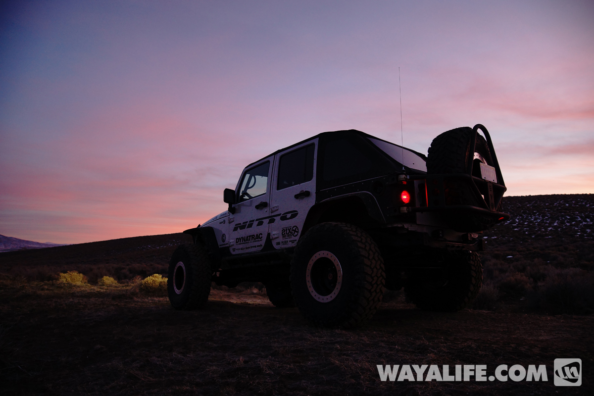
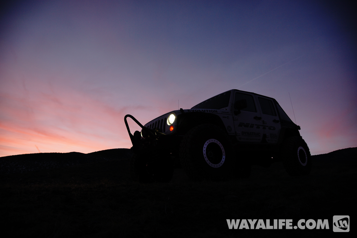
Time to head back to civilization.
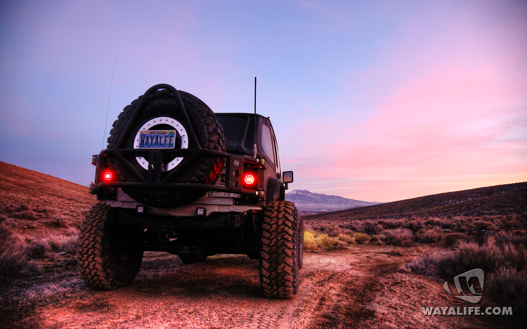
Click on the links below to see our subsequent Arrow Quests:
Arrow Quest Part 2
Arrow Quest Part 3
Arrow Quest Part 4
Arrow Quest Part 5
Arrow Quest Part 6
Arrow Quest Part 7
Arrow Quest Part 8
Arrow Quest Part 9
Arrow Quest Part 10
Arrow Quest Part 11
Arrow Quest Part 12
I hope you all enjoyed our trip exploring some of the wonderful things you can still find out in the Northern Nevada desert. The historical Transcontinental Airway beacons were truly a diamond in the rough. If you do make it out to these sites, I would ask that you please leave it as is and do not take any artifacts left behind so that others can enjoy it as well. Until next time
A few months back, I heard a story about large concrete arrows in the ground that you can still find scattered all across the country. From what I understand, they were constructed between 1923 and 1933 by the United State Post Office and the Department of Commerce and were a part of the first Transcontinental Airway Beacon System. Essentially, they were a network of visual beacons established to help early pilots navigate their way from New York to San Francisco and eventually, built all across the United States in an effort to connect all the major cities within it. Positioned approximately 10 miles apart (some closer and others further apart depending on terrain), most of these beacons were towers built on 50 foot concrete arrows that were painted bright yellow and had a 24" diameter rotating light mounted on top. Additional red and green lights were also used to help provide useful information in Morse Code utilizing the following letters, W, U, V, H, R, K, D, B, G or M, to represent the numbers 1-10. To help remember the sequence, pilots made the following phrase out of it, "When Undertaking Very Hard Routes Keep Directions By Good Methods."
By 1933, there were as many as 1,500 beacons spanning 18,000 miles but, thanks to a new Low Frequency Radio Range system that was implemented in 1929 to replace the original visual system, most of the towers were shut down and dismantled as scrap metal for World War II. And, with the exception of a few that are still operating in Western Montana under the Montana Department of Transportation Aeronautics Division, the very last official tower was shut down in 1973.
Since first hearing about these mysterious concrete arrows and the fact that the Transcontinental Airway System came right through Northern Nevada, I've been thinking of little else than to find them. After spending countless hours doing research online, pouring over old maps and trying to verify locations using Google Earth, we loaded up our Jeep and headed out. Here are a few photos from our recent expedition and what we found. I hope you enjoy.
Here are a few old maps that I found on the internet of what the original Transcontinental Airway System route would have been.
This is what it would have looked like in section.
Here is an illustration and some old photos that I found on Google of what many of the beacons looked like.
This is a promotional ad for Air Mail service that I found online.
A postage stamp for Air Mail service back in the day.
Here's a Google Earth view of the very first concrete arrow we tried to get out too. Unfortunately, it was way too close to Reno and so the trails in this area were closed to vehicular traffic. You can still get out to it on foot but, it would require a several mile hike. We may still try to get out to it someday but, for the purposes of this trip and lack of daylight, we decided to move onto the next destination.
As hard as I had looked, I simply could not find any other concrete arrows in and around the Reno area. Not that they I didn't know the approximate location of them, it's just nothing showed up in Google Earth. In fact, most of the locations that I had found came up with nothing and so, we decided to head deep into the Northern Nevada desert to see what we could find. Here's a shot of one the first ones I could find and knew we could get out to.
Still further and deeper into the desert, literally hours east of home and far from pavement, I found this one as well.
After a long drive east, we headed out to a concrete arrow that I was pretty certain we could find with ease and, here it is.
As you can see, the building is all but gone but, the concrete foundation and 3 legs of the tower still remain. Take notice how the arrow angles off in what appears to be a change in course.
Working our way over to the next beacon site, we found a cool tunnel to drive through.
We also came across a historic site called the Loring watering hole.
Deep in the middle of nowhere, we finally found our next concrete arrow sitting on top of a small hill. If you look carefully, the freezing fog in the distance almost looks like water.
View the arrow looking toward the northeast.
Amazingly, a trace amount of the original orange/yellow paint that was applied to this concrete arrow almost 100 years ago can still be seen here.
Did I mention how cold it was up here? Here you can see a few shots of the coral like ice that the freezing fog left behind on all the bushes.
Some artifacts of old broken lights that we found in the area.
Looking for more concrete arrows in the middle of nowhere.
We stopped by several more sites only to find bits of corrugated steel, some broken glass and little else. It was becoming clear to us that a majority of them were lost to history.
With the sun going down and the temperature starting to dip toward freezing, we approached our final destination of the day - one of the few remaining beacon towers still standing. Unfortunately, there aren't any roads to this one and the photo below is a zoomed in shot. In order to get to it, we had to go on a mile or so hike and all uphill.
Taking a break to catch our breath and enjoy the view behind us.
Up on the ridge top and getting closer.
Made it and just before sundown!!
It really was astounding to us to find a historical site like this, one that was close to 100 years old, still standing, completely devoid of graffiti and of bullet holes.
Taking a look inside, nothing was vandalized and it was clean.
Climbing up to take a closer look at the beacon.
It's not the best photo as I had to use my iPhone to take it but, this is a shot of the actual beacon that was sitting on top of the tower. With the exception of the missing lenses, it looked as if it could be fired up again today.
Fly that way!
Back on the ground, we found shards of the old 24" beacon lenses. Notice how they've started to turn purple - a clear sign that they've been sitting out and exposed to the sun for a very long time.
Taking a moment to imagine.
Watching the sun go down before heading back down the mountain.
Brrrr!! Time to get back to our heated Jeep. Speaking of which, can you find Moby in this photo?
The nice thing about moving is that it helps to keep you warm.
Beautiful skies overhead.
Starting to get all nice an pink.
Time to head back to civilization.
Click on the links below to see our subsequent Arrow Quests:
Arrow Quest Part 2
Arrow Quest Part 3
Arrow Quest Part 4
Arrow Quest Part 5
Arrow Quest Part 6
Arrow Quest Part 7
Arrow Quest Part 8
Arrow Quest Part 9
Arrow Quest Part 10
Arrow Quest Part 11
Arrow Quest Part 12
I hope you all enjoyed our trip exploring some of the wonderful things you can still find out in the Northern Nevada desert. The historical Transcontinental Airway beacons were truly a diamond in the rough. If you do make it out to these sites, I would ask that you please leave it as is and do not take any artifacts left behind so that others can enjoy it as well. Until next time
