Part 1 of Cindy's Birthday Run 2014 covered the first leg of our 3 day, 400+ mile adventure and highlighted our trek across the Slate Range throgh the historic and challenging Isham Canyon trail. Thank to all the trail improvements that mother nature made over the summer, the trail proved to be a ton of fun and worthy of a post all it's own.
This second part covers the remainder of our trip and highlights our time spent in Death Valley starting with a trip down Titus Canyon, a visit to Ubehebe Crater and Crankshaft Crossing before crossing into the Nevada state line for drinks at the Goldpoint Saloon. From there, we made a stop over at a cool car forest, stayed a night at the historic and haunted Mizpah Hotel and then spent some time exploring old ghost towns such as Candelaria and Marietta before saying our goodbyes and heading home. I hope you enjoy the photos.
Day 2 : Titus Canyon
Much like Isham and Fish Canyon, Titus Canyon was also named after a prospector Edgar Morris Titus who, along with his brother-in-law Earle Weller got lost within it and died from lack of water back in 1905. Today, it's a popular route into Death Valley that can only be run east to west starting near the town of Beatty, NV. Along the way, you get to make your way up and over the Grapevine Mountains through Red Pass, visit the boomtown of Leadfield and meander your way though the steep and narrow canyon walls that have been carved away by thousands of years of flash floods. While it's a very easy trail, it's still one of our favorites due to its geological beauty and rich history.
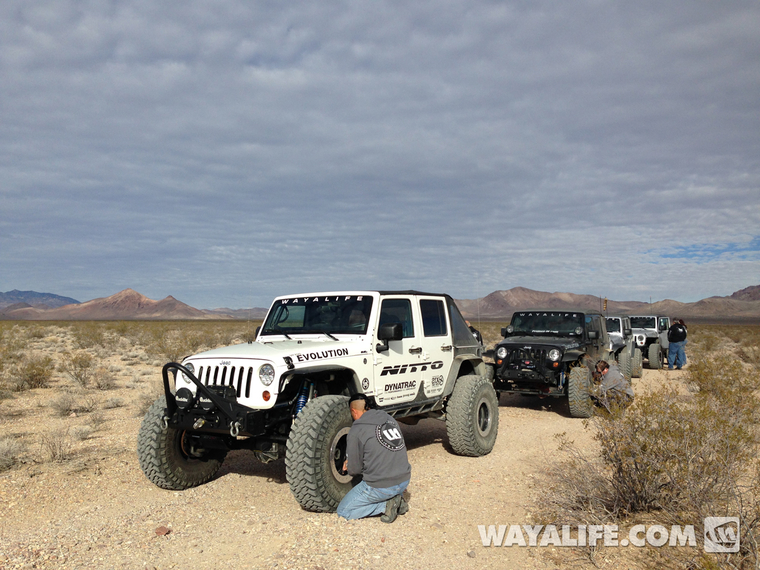
Airing down and getting ready to head into Titus Canyon...
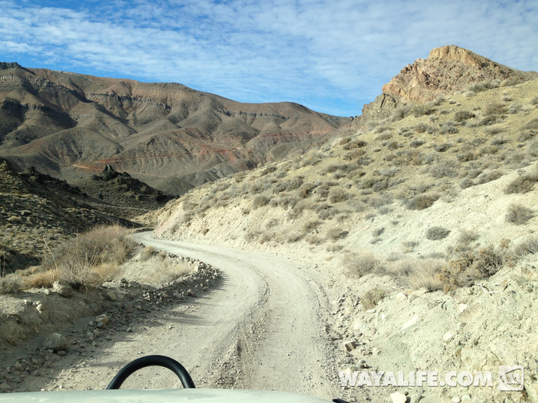
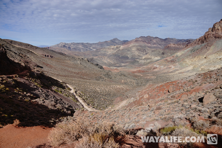
Making our way up the Grapevine Mountains. If you look carefully, you can see the switchbacks going up to Red Pass...
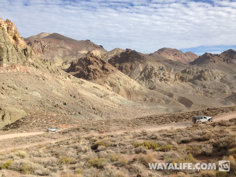
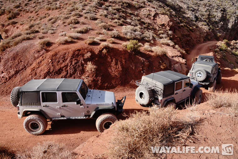
Looking back at Tony and Stephanie and Moochie as we head on up to Red Pass...
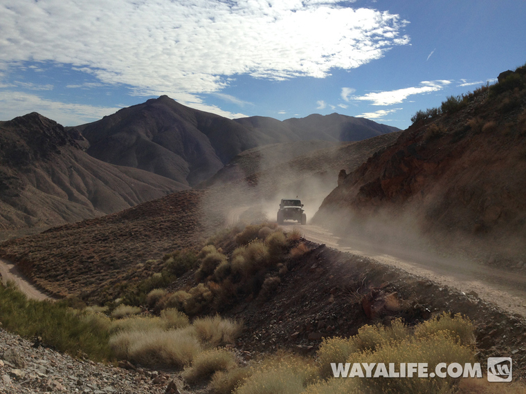
Don pushing his way though the dust...
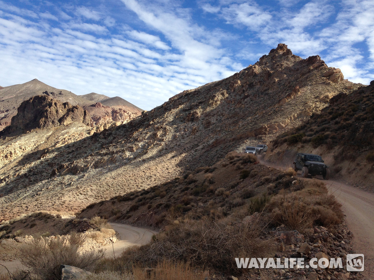
Coming up and over Red Pass...
View looking west across the Grapevine Mountains...
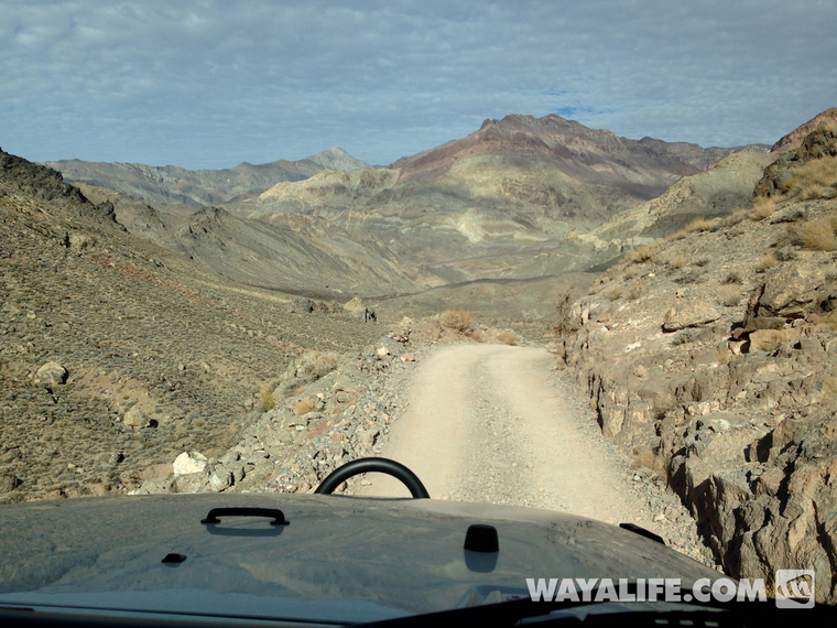
Time to head on down...
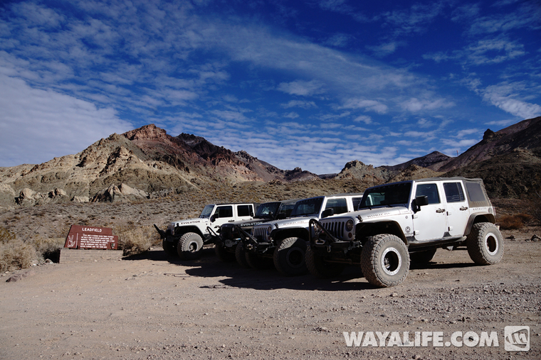
Leadfield
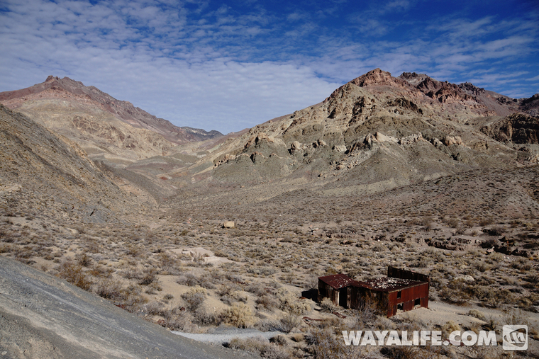
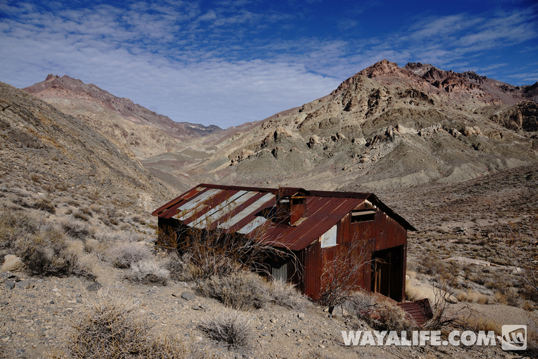
Leadfield was a classic boomtown in that it arose out of nothing, had 300 people populate it out of nowhere and then disappeared in as little as 6 months. Unfortunately, the only one to make any money at all would be the promoters who lured people in through sensationalized advertising. A few building still stand here and in 1975, Leadfield was listed on the National Register of Historic Places.
Making a stop to explore some of the old buildings and ruins of this old boomtown...
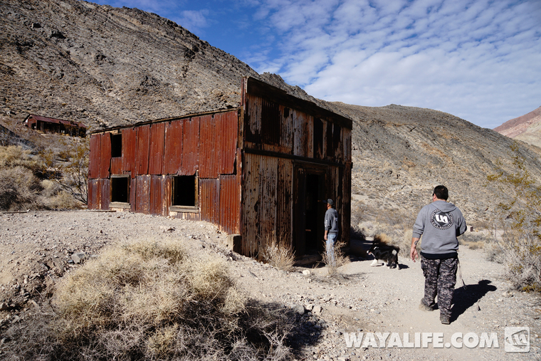
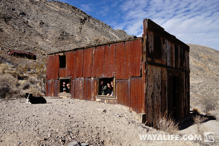
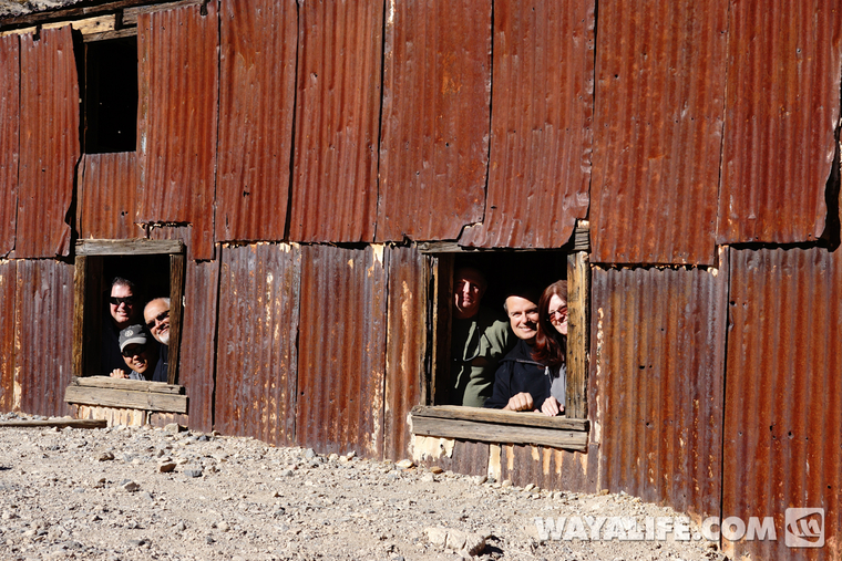
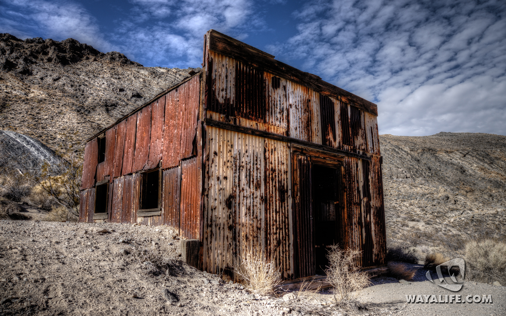
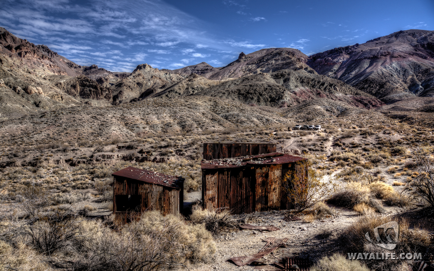
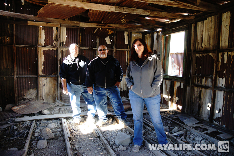
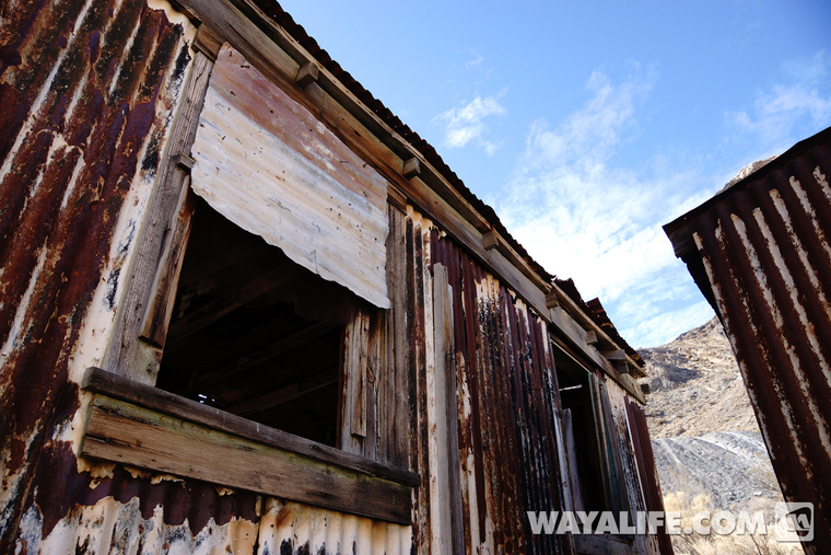
You guys go on ahead...
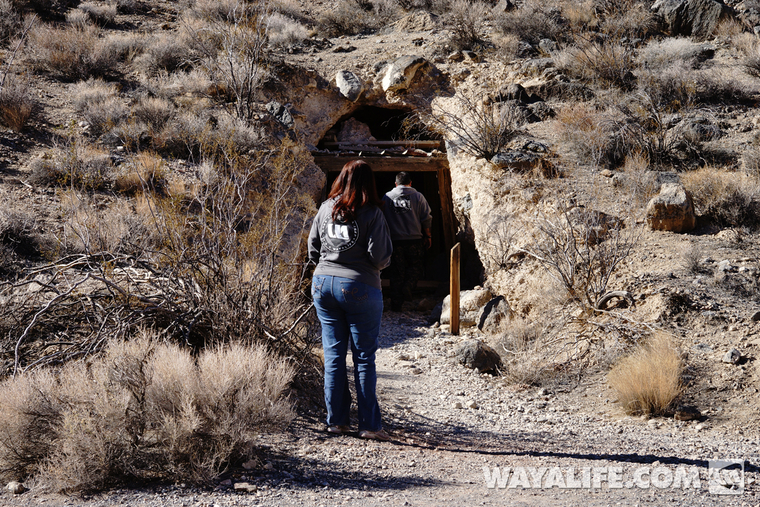
Anyone home?
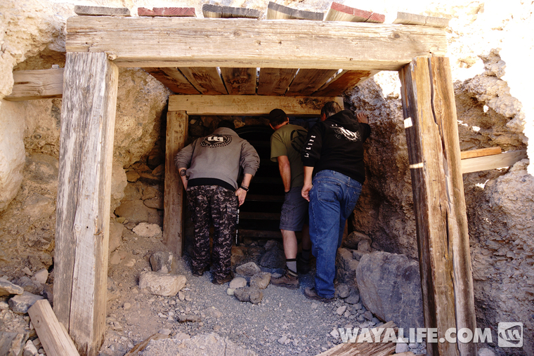
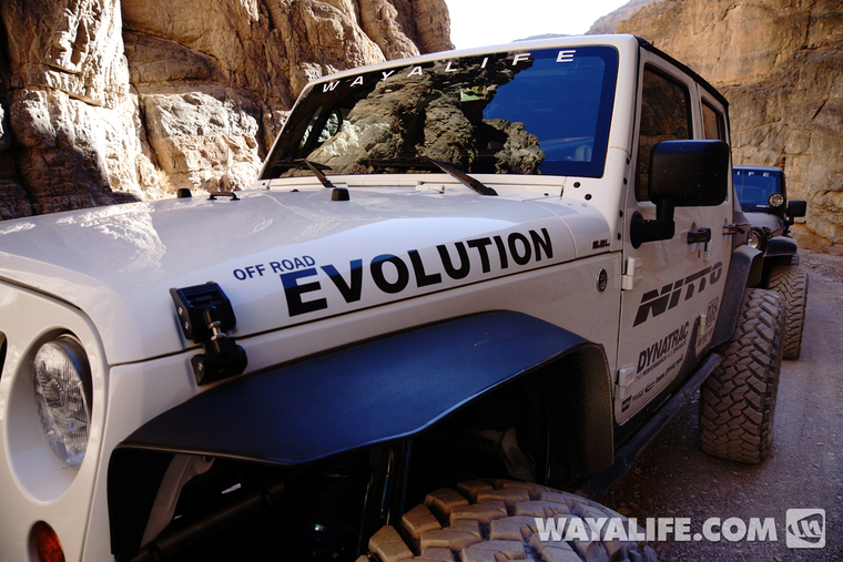
Heading into the narrows...
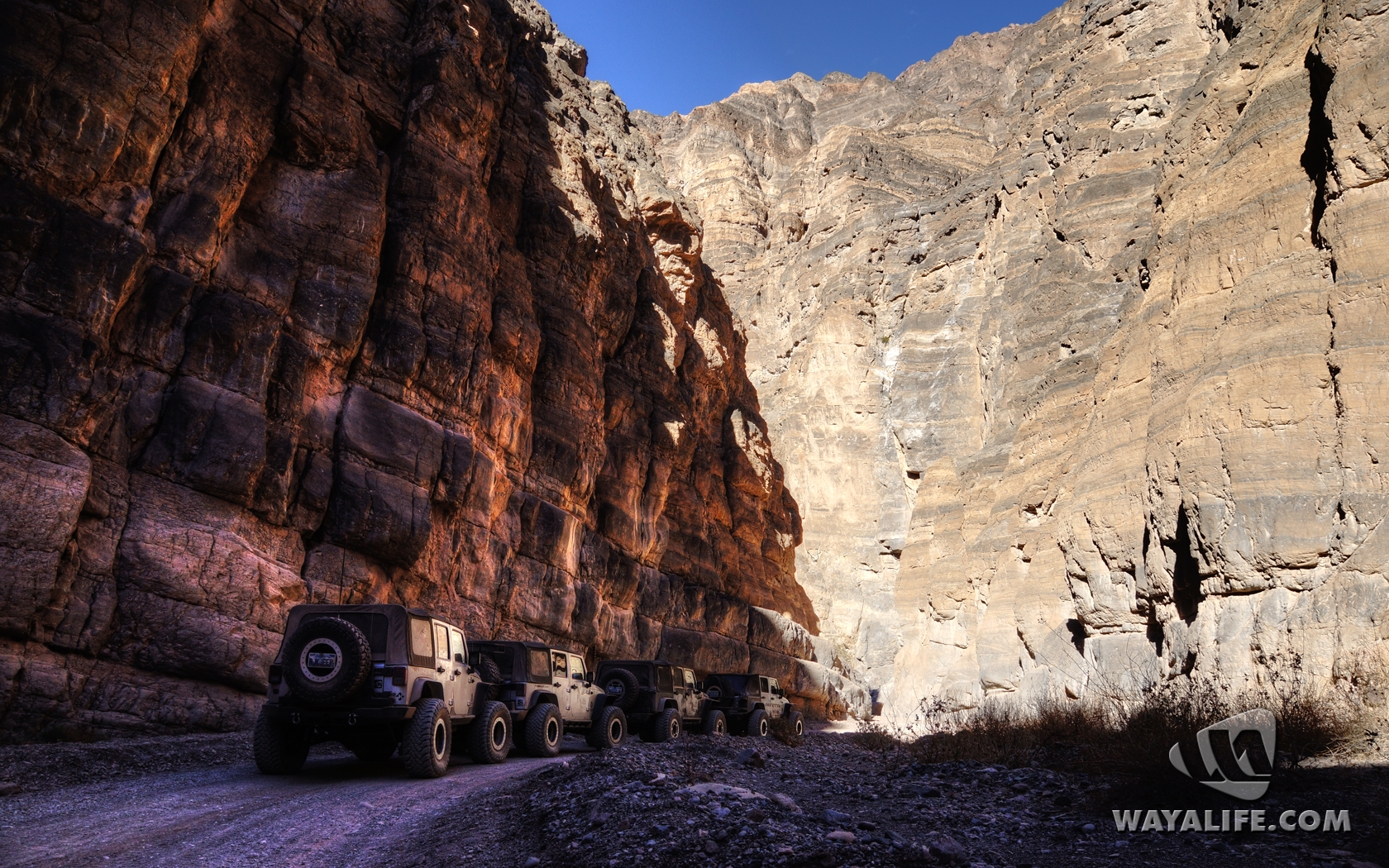
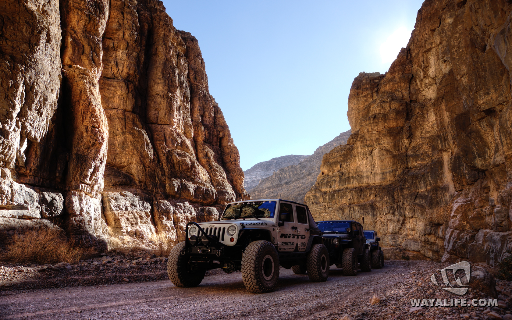
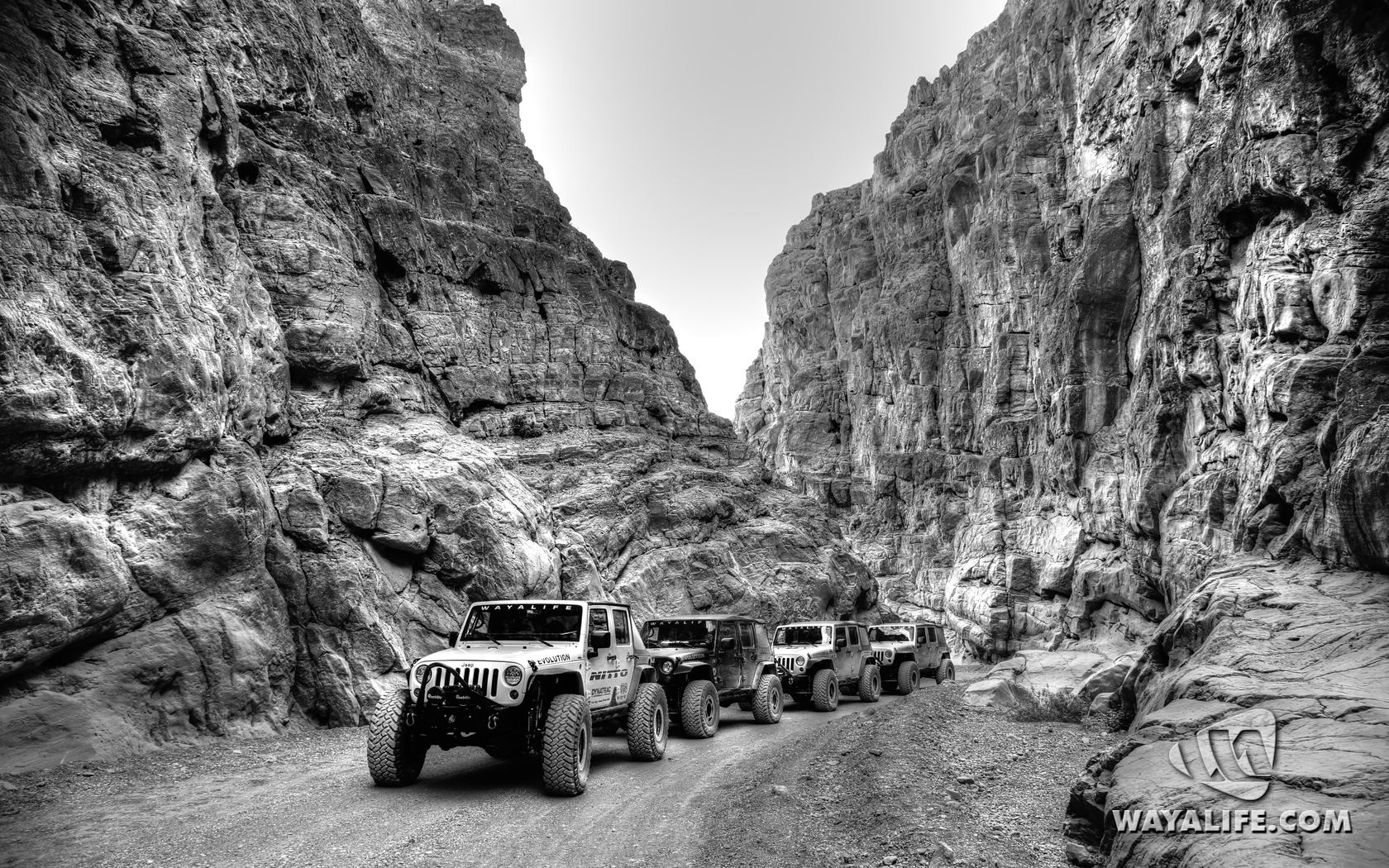
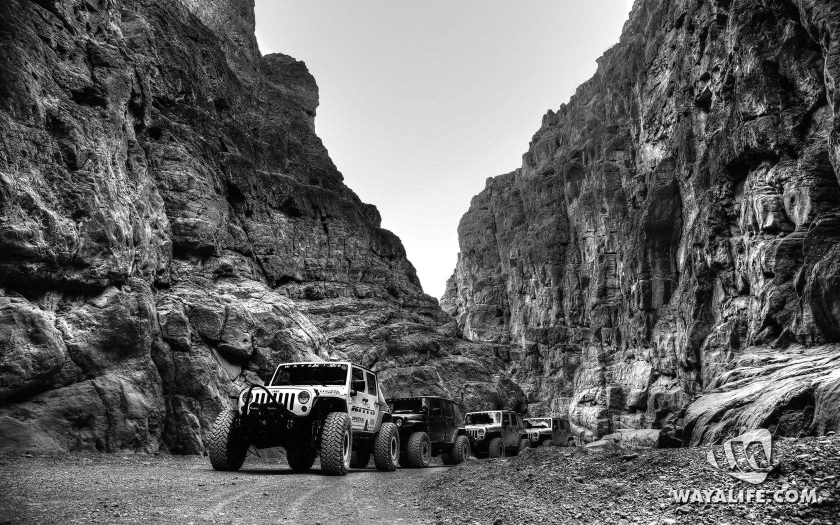
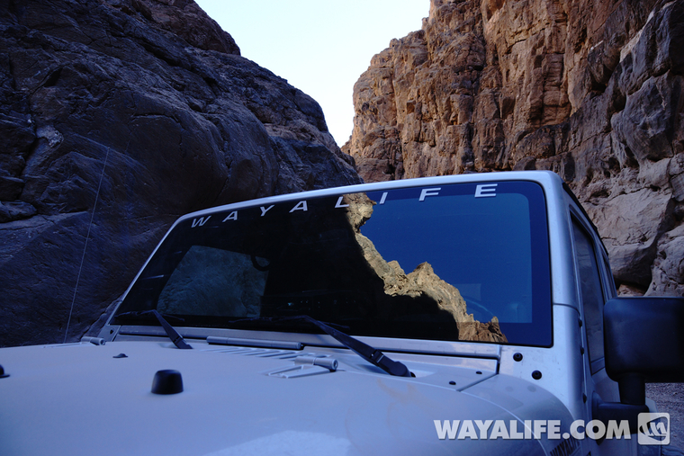
Sweet reflection shots on the windshield...
Ubehebe Crater
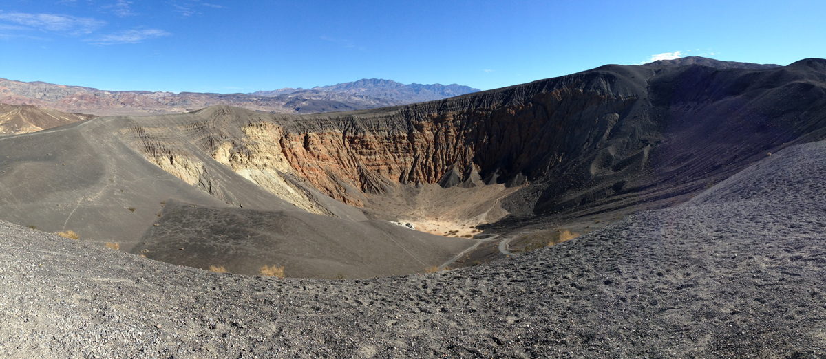
Just west of Scotty's Castle on the northern end of Death Valley, there lies a massive hole in the ground known as Ubehebe Crater. Created by a hydrovolcanic explosion some 2,000-7,000 years ago, the crater is about a half mile wide and goes down 777 feet at its deepest point.
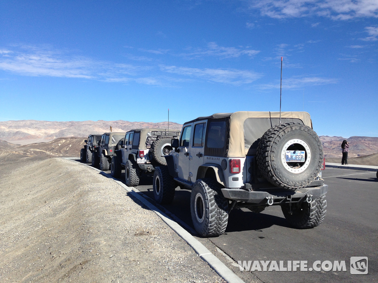
After dropping down into Death Valley's floor, we turned north and made a quick stop to take a peak inside this massive crater...
Crankshaft Crossing
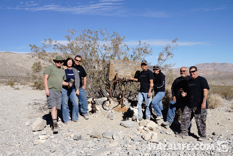
Heading still further north, we made a stop at the point where Death Valley Rd. turns west to Big Pine. This point is known as Crankshaft Crossing due to the all the old crankshafts that people have been depositing here over the years. Much like Teakettle Junction, the park service comes out and cleans things up from time to time and unfortunately, when we got there, most of the crankshafts were gone. Still, here are a few pics from our stop.
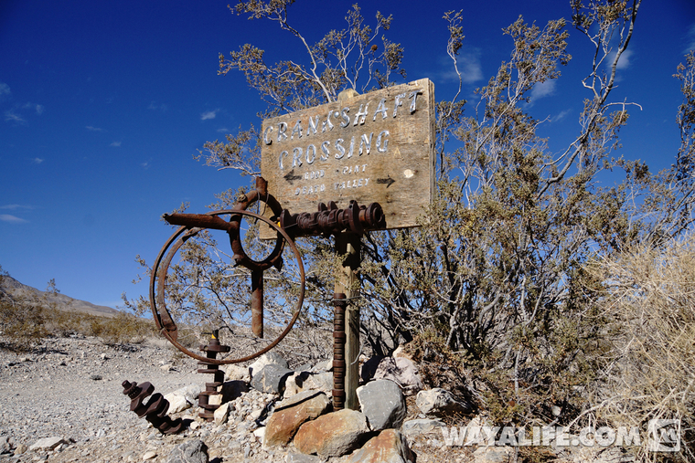
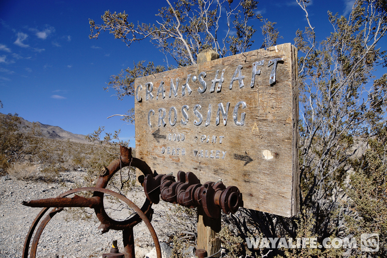
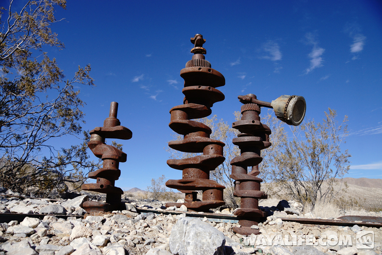
Posing in front of the Crankshaft Crossing sign...
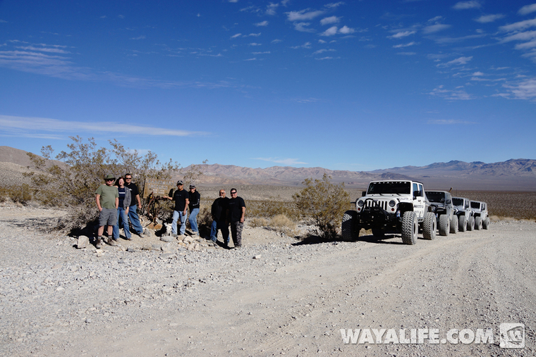
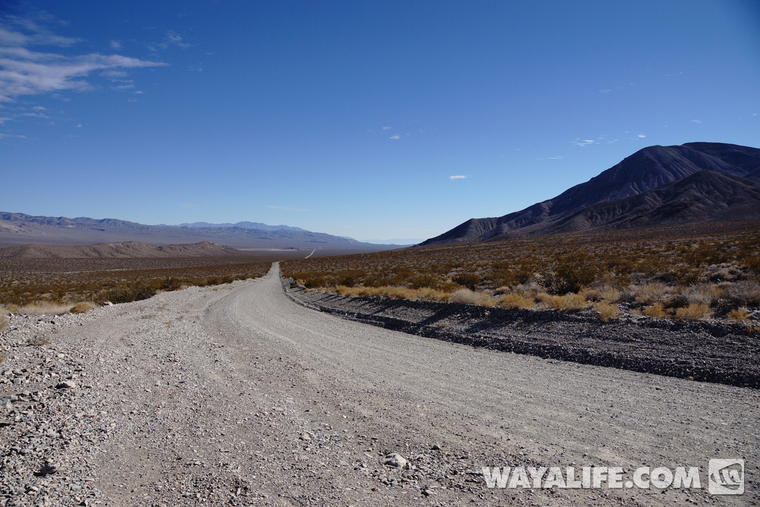
Looking south down Death Valley Rd....
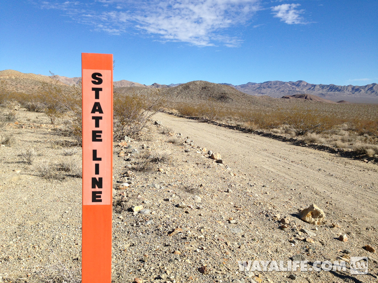
Instead of heading west and continuing Death Valley Rd. out to Big Pine, we turned east and made our way deeper into the desert and out to the Nevada state line...
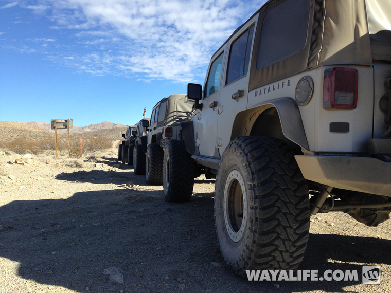
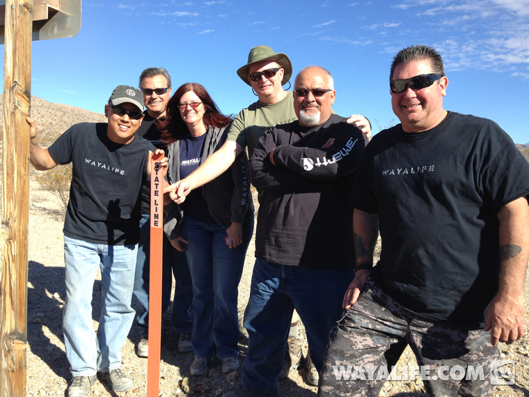
More pics below...
This second part covers the remainder of our trip and highlights our time spent in Death Valley starting with a trip down Titus Canyon, a visit to Ubehebe Crater and Crankshaft Crossing before crossing into the Nevada state line for drinks at the Goldpoint Saloon. From there, we made a stop over at a cool car forest, stayed a night at the historic and haunted Mizpah Hotel and then spent some time exploring old ghost towns such as Candelaria and Marietta before saying our goodbyes and heading home. I hope you enjoy the photos.
Day 2 : Titus Canyon
Much like Isham and Fish Canyon, Titus Canyon was also named after a prospector Edgar Morris Titus who, along with his brother-in-law Earle Weller got lost within it and died from lack of water back in 1905. Today, it's a popular route into Death Valley that can only be run east to west starting near the town of Beatty, NV. Along the way, you get to make your way up and over the Grapevine Mountains through Red Pass, visit the boomtown of Leadfield and meander your way though the steep and narrow canyon walls that have been carved away by thousands of years of flash floods. While it's a very easy trail, it's still one of our favorites due to its geological beauty and rich history.
Airing down and getting ready to head into Titus Canyon...
Making our way up the Grapevine Mountains. If you look carefully, you can see the switchbacks going up to Red Pass...
Looking back at Tony and Stephanie and Moochie as we head on up to Red Pass...
Don pushing his way though the dust...
Coming up and over Red Pass...
View looking west across the Grapevine Mountains...
Time to head on down...
Leadfield
Leadfield was a classic boomtown in that it arose out of nothing, had 300 people populate it out of nowhere and then disappeared in as little as 6 months. Unfortunately, the only one to make any money at all would be the promoters who lured people in through sensationalized advertising. A few building still stand here and in 1975, Leadfield was listed on the National Register of Historic Places.
Making a stop to explore some of the old buildings and ruins of this old boomtown...
You guys go on ahead...
Anyone home?
Heading into the narrows...
Sweet reflection shots on the windshield...
Ubehebe Crater
Just west of Scotty's Castle on the northern end of Death Valley, there lies a massive hole in the ground known as Ubehebe Crater. Created by a hydrovolcanic explosion some 2,000-7,000 years ago, the crater is about a half mile wide and goes down 777 feet at its deepest point.
After dropping down into Death Valley's floor, we turned north and made a quick stop to take a peak inside this massive crater...
Crankshaft Crossing
Heading still further north, we made a stop at the point where Death Valley Rd. turns west to Big Pine. This point is known as Crankshaft Crossing due to the all the old crankshafts that people have been depositing here over the years. Much like Teakettle Junction, the park service comes out and cleans things up from time to time and unfortunately, when we got there, most of the crankshafts were gone. Still, here are a few pics from our stop.
Posing in front of the Crankshaft Crossing sign...
Looking south down Death Valley Rd....
Instead of heading west and continuing Death Valley Rd. out to Big Pine, we turned east and made our way deeper into the desert and out to the Nevada state line...
More pics below...

