Far in the northwest corner of Nevada, there's a remote stretch of desert that hasn't seen a whole lot of change since early emigrants started crossing it on the Applegate Trail back in the 1800's and really, long before that as well. This area is known as the Black Rock Desert and while some may be familiar with its extensive playa and the Burning Man Festival that it hosts every year, it once sat at the bottom of an enormous ancient body of water known as, Lake Lahontan. For this trip, we topped off our tank in the small town of Gerlach and spent the better part of the day and over 160 miles all on dirt exploring tall canyons, historic sites, hot springs, wonderful geology and endless playa before calling it a day. Here are some pics from our trip, I hope you enjoy.
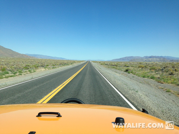
Heading north on Highway 447...
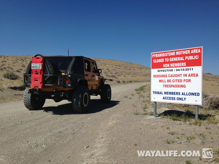
Originally, our plan was to make a stop over at Pyramid Lake and check out the Stone Mother but unfortunately, we found that we were about 2 years too late - totally SUCKS!!
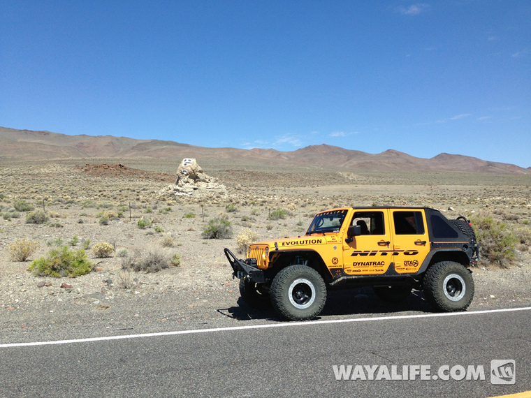
Disappointed, we continued our trek north but had to make a stop to pose for a pic at Snoopy Rock...

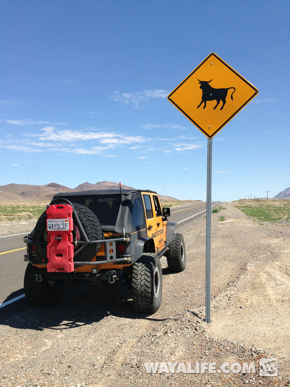
I just love the spirited cattle crossing signs out in Nevada. The ones out in California look like they're on valium...
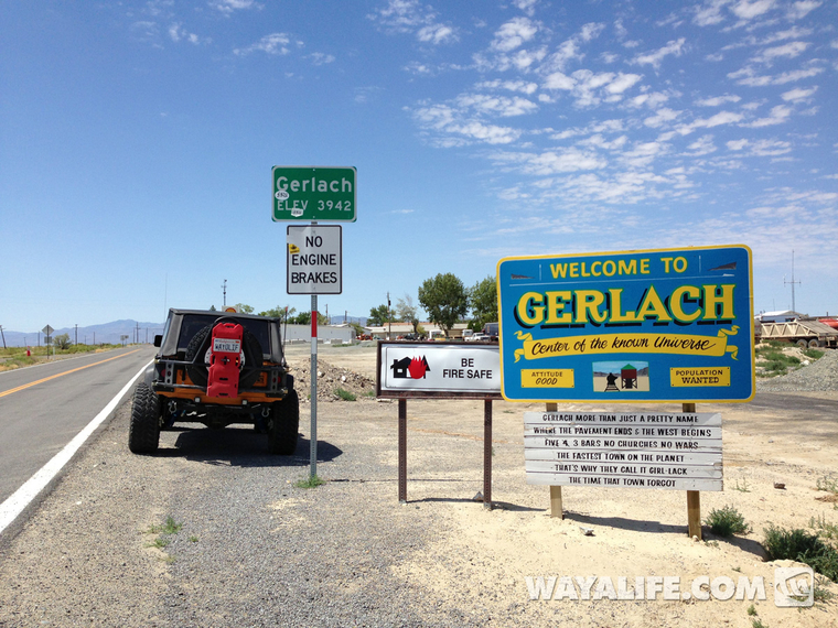
Welcome to the Center of the Known Universe!! Oh, it's also our last chance for gas. Beyond this point, you're totally on your own...
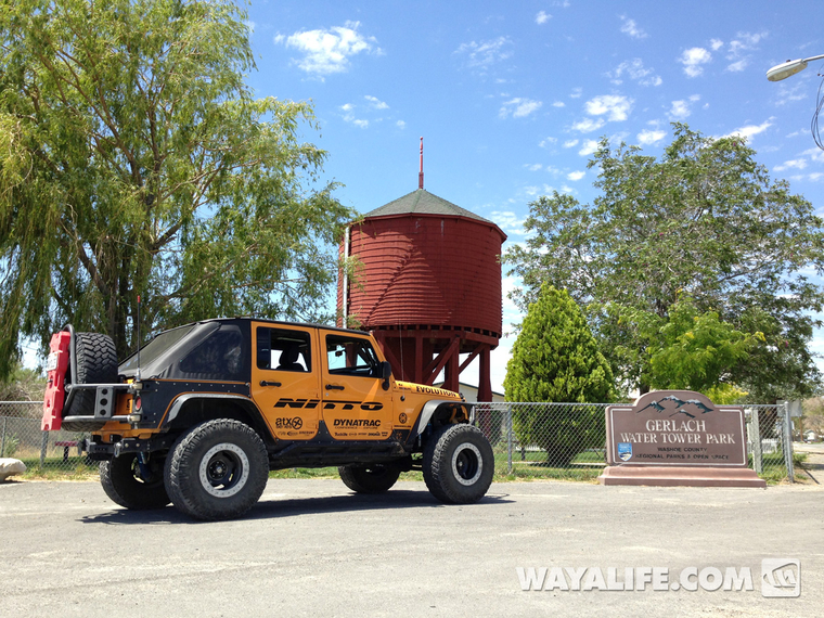
Making a quick stop for a picnic lunch and to read up on some of the local history...
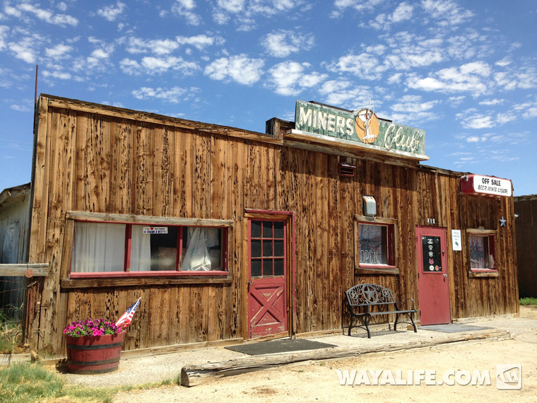
Checking out some of the hip happenin establishments in town...
Paying our respects to some of the early residents...
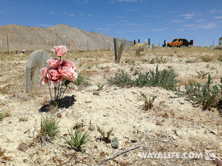
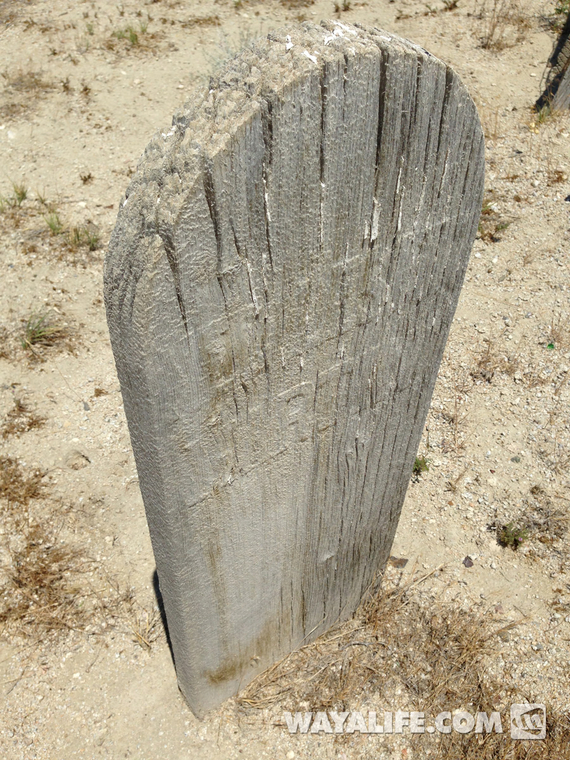
One of the only headstones or, should I say, headboards that you can still make out writing on...
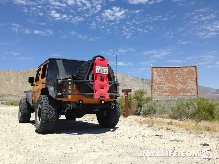
We were hoping to check out the Great Boiling Springs, a hot springs that got its name from none other than Captain John Fremont but, it turns out that it's on private land and trespassers aren't welcome...
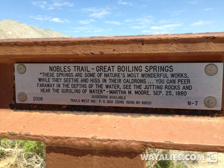
If you've never been out along the old emigrant trails that cross through the west, there are cool markers left by a non-profit organization called Emigrant Trails West that have quotes early settlers made regarding various locations along the way like this...
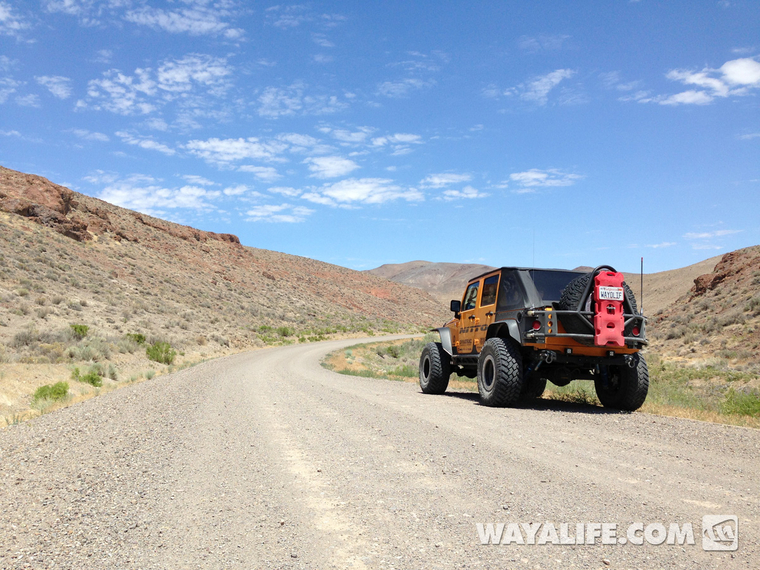
Working our way up Leadville Canyon...
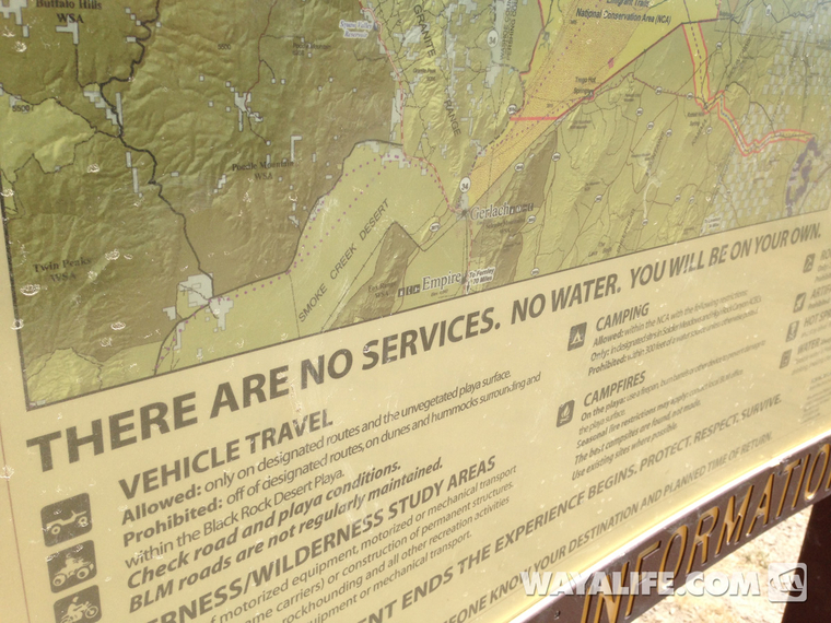
A final map and warning sign erected by the BLM to inform travelers of just how far and remote you are from anything...
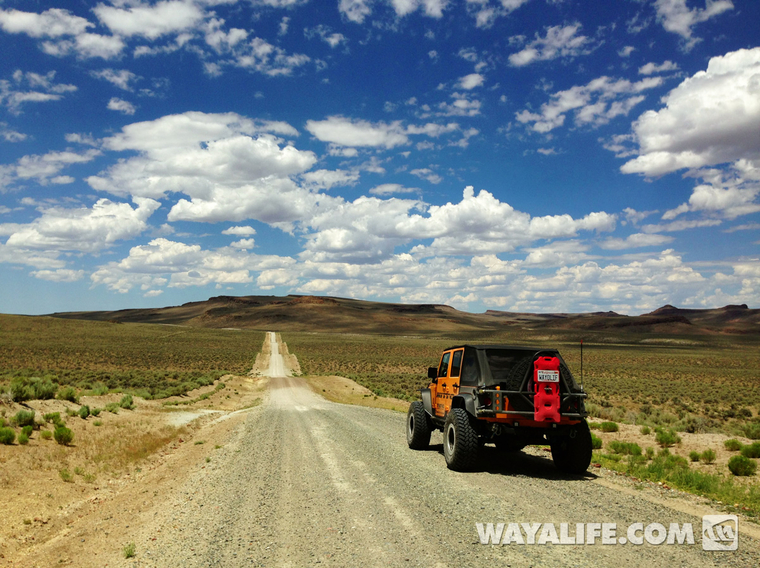
Endless miles of dirt roads ahead...
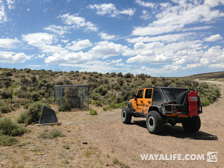
Pouring through some old maps, I had once seen there was a petrified forest out in this area with one stump having a diameter 20' across. Needless to say, we had to go looking for it and this is what we found.
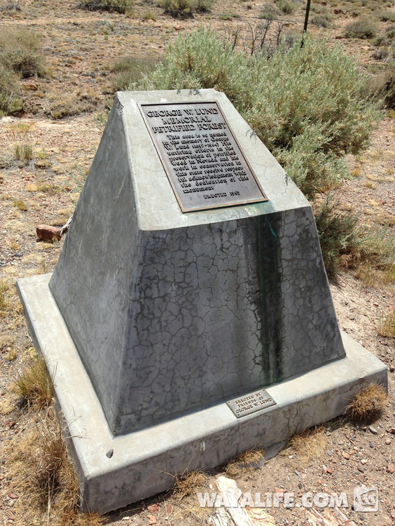
Here is a marker dedicated to the man who worked so hard to preserve fossilized forests just like this in the State of Nevada - George W. Lund. As if it needs to be said, please leave this area as you found it - DO NOT take any petrified wood from this area. There are other areas nearby where it is legal to collect.
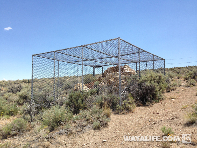
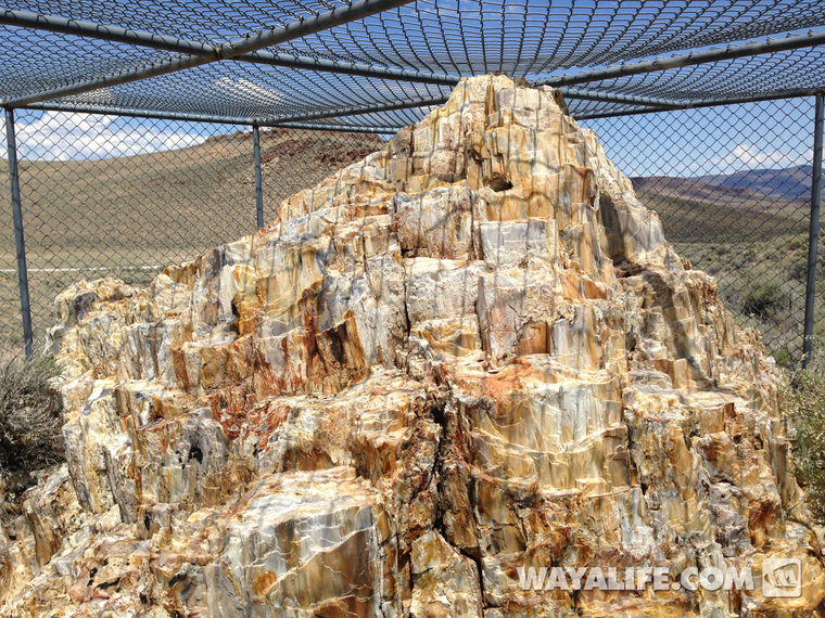
I can't even begin to tell you how frustrating it is to see these amazing treasures caged up like this especially being that a part of me totally understands why they are...
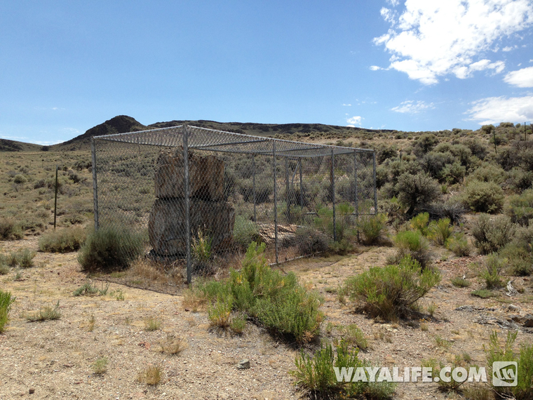
I've seen fine examples of petrified trees on the ground but, I have never seen one with as much still standing as this...
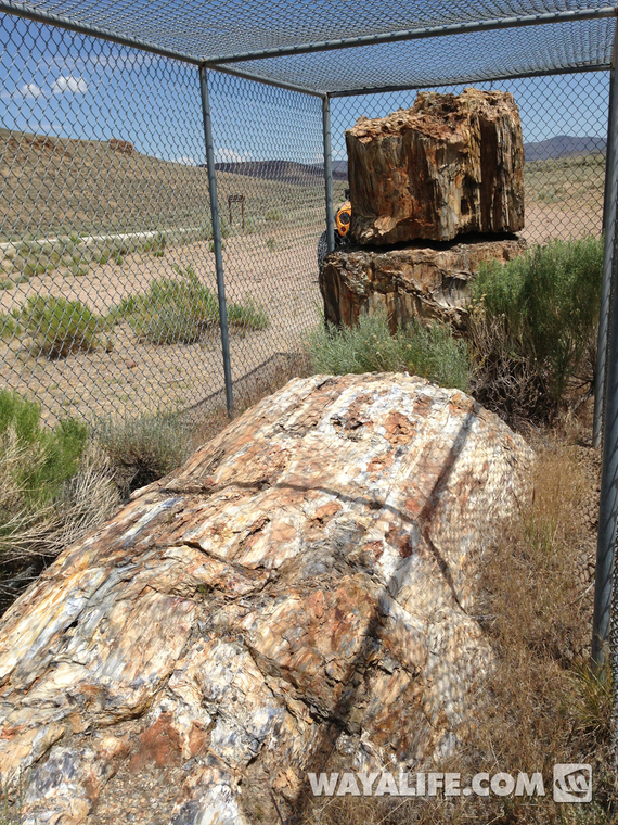
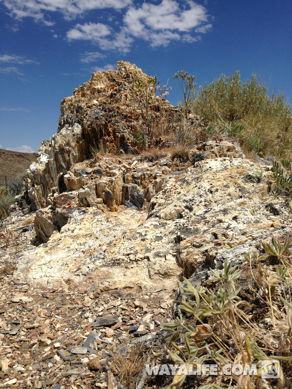
Walking to the protected preserve, we found a host of other smaller petrified tree stumps...
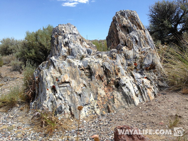
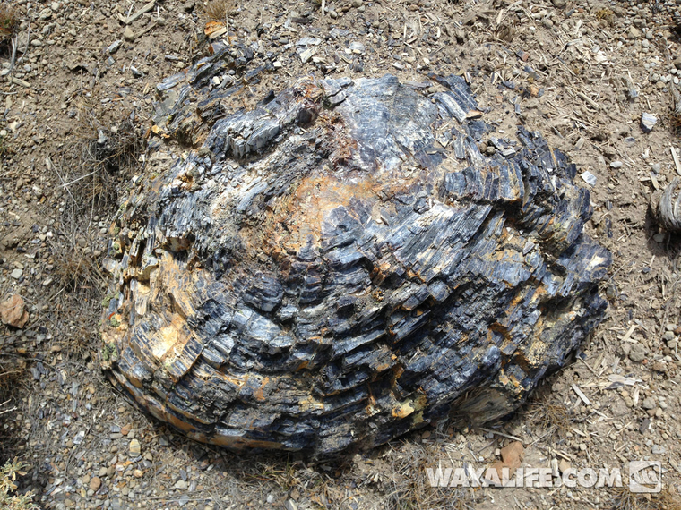
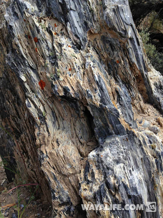
Still looking so much like wood, it's sometimes hard to imagine that these are all stone...
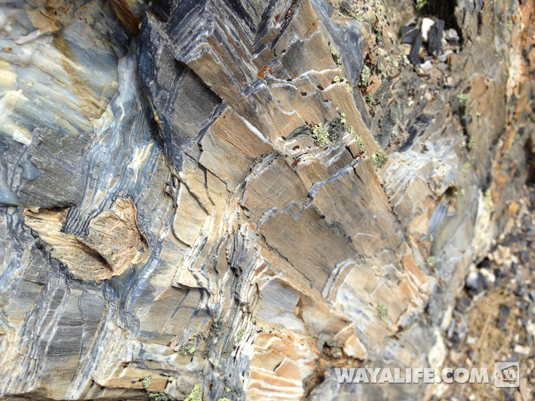
On the other side of the preserve, there's another cage that protects a very large stump. With temps soaring in the triple digits and situated in an arid landscape, it's hard to believe that this area was once home to a forest of Giant Sequoias...
More pics below...
Heading north on Highway 447...
Originally, our plan was to make a stop over at Pyramid Lake and check out the Stone Mother but unfortunately, we found that we were about 2 years too late - totally SUCKS!!
Disappointed, we continued our trek north but had to make a stop to pose for a pic at Snoopy Rock...
I just love the spirited cattle crossing signs out in Nevada. The ones out in California look like they're on valium...
Welcome to the Center of the Known Universe!! Oh, it's also our last chance for gas. Beyond this point, you're totally on your own...
Making a quick stop for a picnic lunch and to read up on some of the local history...
Checking out some of the hip happenin establishments in town...
Paying our respects to some of the early residents...
One of the only headstones or, should I say, headboards that you can still make out writing on...
We were hoping to check out the Great Boiling Springs, a hot springs that got its name from none other than Captain John Fremont but, it turns out that it's on private land and trespassers aren't welcome...
If you've never been out along the old emigrant trails that cross through the west, there are cool markers left by a non-profit organization called Emigrant Trails West that have quotes early settlers made regarding various locations along the way like this...
Working our way up Leadville Canyon...
A final map and warning sign erected by the BLM to inform travelers of just how far and remote you are from anything...
Endless miles of dirt roads ahead...
Pouring through some old maps, I had once seen there was a petrified forest out in this area with one stump having a diameter 20' across. Needless to say, we had to go looking for it and this is what we found.
Here is a marker dedicated to the man who worked so hard to preserve fossilized forests just like this in the State of Nevada - George W. Lund. As if it needs to be said, please leave this area as you found it - DO NOT take any petrified wood from this area. There are other areas nearby where it is legal to collect.
I can't even begin to tell you how frustrating it is to see these amazing treasures caged up like this especially being that a part of me totally understands why they are...
I've seen fine examples of petrified trees on the ground but, I have never seen one with as much still standing as this...
Walking to the protected preserve, we found a host of other smaller petrified tree stumps...
Still looking so much like wood, it's sometimes hard to imagine that these are all stone...
On the other side of the preserve, there's another cage that protects a very large stump. With temps soaring in the triple digits and situated in an arid landscape, it's hard to believe that this area was once home to a forest of Giant Sequoias...
More pics below...
