Desert Rose JK
Member
Well we just finished up a week's stay in Leadville Colorado attending the Mile High Jeep Club Summer event call 'All 4 Fun' which was their 51st year of putting on this event which rotates around 4 or 5 location each year. Since I've been working on a project in Montrose Colorado for the past year and a half, we had always seen and heard about All 4 Fun but living and working in Arizona we never took the time to attend, but living a lot closer made it a no brainer to attend last year in Empire Colorado, and again this year in Leadville. We loaded up the RV Friday and arrived Leadville on Saturday to register and set up our campsite with about 300 other Jeep / off road lovers. They set up a large tent to gather everyone for raffle drawing, a couple dinners and vendor show to make it a family and group event and they do a good job on it.
They run about 20 different trails with them ranging easy to difficult and each one running daily for five days.
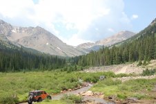
We started out with Cloyses Lake with was South of Leadville about half way to Buena Vista. It started out easy on dirt roads going past Clear Lake and up the canyon to Vicksburg and Winfield which are a couple preserved 1880's mining towns that, like a number of old 1880's towns/buildings are being saved and restored and even being furnished with original items to promote the history of the area around Colorado.
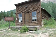
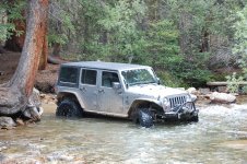
We did a couple creek crossing to start the trail.
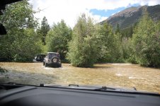
Made it up to the lake at about 11,100 feet in elevation and very scenic.
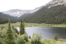
The second day we chose to run the Mount Princeton run which my wife did the driving and got over her fear of driving a shelf road as it was 4 miles of shelf road from bottom to top.
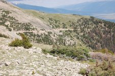
One of the only true completely clear days and the views at 12,300 feet overlooking Buena Vista to East and the Collegiate 14'teener around and Mount Antero to the West.
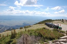
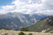
Just another couple thousand feet up to the top....
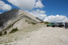
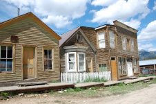
After finishing the run we ran up to another 1880's mining town of St. Elmo, which is also in the stage of being preserved.
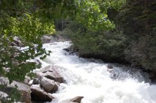
Following the creek up to St. Elmo, we got to see some great water / creek views.
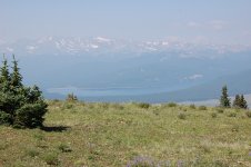
The third day was Mount Zion which was easy run but great views over looking Leadville and Turquoise Lake.
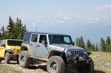
Can't say that I saw all the rigs at the event but it looked like I was the only one sporting 'Wayalife' banner/stickers that I saw.
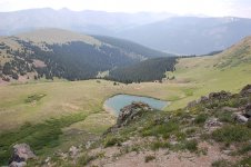
Looking down on Buckeye lake at about 12,200 ft for lunch break.
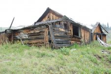
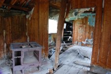
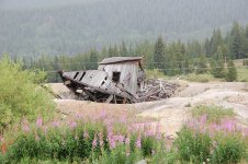
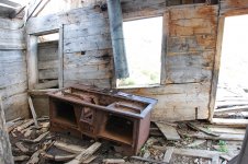
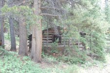
Afterward we did some side exploring and found this old miners cabin
The Fourth day was a run called Birdseye Gulch and up to Mosquito Pass.
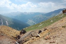
Starting up the shelf road looking down on Birdseye Gulch and Leadville.
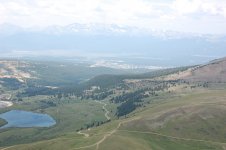
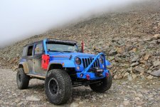
Mosquito Pass is the highest drivable pass at 13,185 ft, and as we got up there, a cold front blew through and got wind cold and snow and hail fell for a few minutes.
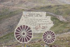
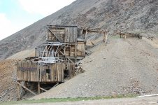
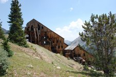
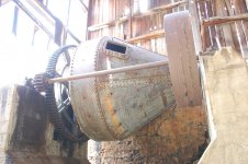
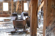
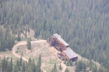
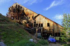
About 2 miles over the pass we stopped at the North London mine and tram house.
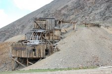
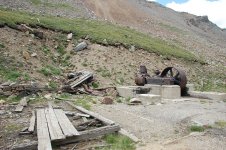
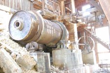
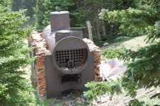
An old Air Compress sits outside the old mine entrance which has caved in.
They run about 20 different trails with them ranging easy to difficult and each one running daily for five days.
We started out with Cloyses Lake with was South of Leadville about half way to Buena Vista. It started out easy on dirt roads going past Clear Lake and up the canyon to Vicksburg and Winfield which are a couple preserved 1880's mining towns that, like a number of old 1880's towns/buildings are being saved and restored and even being furnished with original items to promote the history of the area around Colorado.

We did a couple creek crossing to start the trail.

Made it up to the lake at about 11,100 feet in elevation and very scenic.

The second day we chose to run the Mount Princeton run which my wife did the driving and got over her fear of driving a shelf road as it was 4 miles of shelf road from bottom to top.

One of the only true completely clear days and the views at 12,300 feet overlooking Buena Vista to East and the Collegiate 14'teener around and Mount Antero to the West.


Just another couple thousand feet up to the top....

After finishing the run we ran up to another 1880's mining town of St. Elmo, which is also in the stage of being preserved.

Following the creek up to St. Elmo, we got to see some great water / creek views.

The third day was Mount Zion which was easy run but great views over looking Leadville and Turquoise Lake.

Can't say that I saw all the rigs at the event but it looked like I was the only one sporting 'Wayalife' banner/stickers that I saw.

Looking down on Buckeye lake at about 12,200 ft for lunch break.

Afterward we did some side exploring and found this old miners cabin

The Fourth day was a run called Birdseye Gulch and up to Mosquito Pass.
Starting up the shelf road looking down on Birdseye Gulch and Leadville.

Mosquito Pass is the highest drivable pass at 13,185 ft, and as we got up there, a cold front blew through and got wind cold and snow and hail fell for a few minutes.

About 2 miles over the pass we stopped at the North London mine and tram house.

An old Air Compress sits outside the old mine entrance which has caved in.
Last edited:

